While Tracy was sailing Quid Sea from New Zealand to Fiji, I flew into Nadi, Fiji, and had about 10 days on my own. I departed New Zealand on May 4th by plane, the same day Tracy departed by boat.
Learning about Fiji:
Geography and Nature
Hundreds of Islands: Fiji has 333 islands, but only about 110 have people living on them.
Time Travel on Land: The 180-degree meridian (International Date Line) runs right through Taveuni Island, meaning you can stand with one foot in yesterday and one foot in today.
Soft Coral Capital: Fiji is famous for its vibrant underwater reefs and is called the soft coral capital of the world.
Culture and Traditions
Three Official Languages: People in Fiji speak English, Fijian, and Fijian Hindi.
No Hats in Villages: Village custom says that visitors cannot wear hats or sunglasses; only the village chief has that right.
The National Drink: Kava—made from the ground root of a pepper plant mixed with water—is a traditional ceremonial drink that gives a relaxed feeling.
Earthy Feasts: Traditional food is cooked in a lovo, which is an underground earth oven lined with hot stones and covered in leaves.
Flower Meanings: Wearing a flower behind your left ear means you are single, while the right ear means you are taken.
History and Sports
Cannibal Past: Old colonial records note that Fiji was once feared as the “Cannibal Isles,” a practice that ended in the late 19th century.
Rugby Obsession: Rugby is the top sport, and Fiji produces more professional players per capita than almost anywhere else, excelling especially in rugby sevens.
My Airbnb recommended a driver who could pick me up from the Nadi Airport. His name was Ron and he also gave me a tour around Nadi.
Nadi pronounced as Nandi, is the third-largest city in Fiji after Suva and Lautoka. It is located on the western side of the main island of Viti Levu and had a population of 59,707 at the most recent census, in 2017. Nadi is multiracial with many of its inhabitants Asians, Indian, Indigenous Fijians, along with a large transient population of foreign tourists. Sugar cane production and tourism is a mainstay of the local economy.
Nadi International Airport is located 5.6 miles from Nadi, and is the largest airport in Fiji. Thus, Nadi is the principal port of entry for air travelers to Fiji, even though it is on the opposite (western) side of the island of Viti Levu from the nation’s capital and largest city, Suva.
Our tour started by visiting the Gardens of the Sleeping Giant. It is nestled at the foot of the Sabeto Range near Nadi and covers a 20-hectare botanical paradise originally curated by Hollywood actor Raymon Burr. Showcasing over a thousand varieties of orchids over the course of year, including native flora, the garden invites you to explore lush jungle walkways, tranquil lily ponds and immersive feature gardens.
Picture depicting the ‘Sleeping Giant’ that I snagged off the internet. The giant’s head is at the top and towards the middle of the photo.The 6 photos above are from the Garden of the Sleeping Giant
Next, we visited the Veiseisei Village, (also known as First Village). It holds a significant place in the country’s history as the site of Fiji’s first recorded landing by its indigenous people. This is the first place where the ancestors of the Fijian people are believed to have arrived from the Polynesian region. Because of this,Veiseisei holds deep cultural importance for the people of Fiji.
Upon arriving I was provided with a sarong to cover my knees as we toured the village. Gina was my guide who walked me through the village. We toured an historic church named “Jone Wesele” which is the Fijian transliteration for John Wesley, the founder of Methodism. It marks the historical roots of when the first Methodist (Wesleyan) missionaries arrived in Fiji around 1835.
My tour guide Gina.The four pictures above are from the Jone Wesele church.This building is similar to a town hall or community Center. Outside they are preparing for a ceremony of a villager who passed away. This is the settlers memorial of the First Village known as Viseisei.
Next, we went to a small resort called First Landing located near Vuda Marina where Quid Sea will be arriving soon.
FIRST Landing Resort and Villas have a history of its own. Its first guest arrived here 3500 years ago, and they liked the place so much they stayed — that is according to local legends.
The first iTaukei people arrived on the very beaches of Nailamu before moving to all parts of Fiji. It’s a history that is told to many a guest who arrive from far and wide for a vacation.
This is the First Landing Point. Locals and tourists now use it as a picnic area and it can also be reserved for weddings or other celebrations.
Last, we visited the Sri Siva Subramaniya Hindu Temple, a magnificent monument in Nadi city. Set on the edge of the Nadi River, the temple is the largest of its kind in the Southern Hemisphere.
The towering temple’s ornate carvings are depictions of Hindu gods and traditional Dravidian stylings. Sri Siva Subramaniya is dedicated to Lord Murugan, the god of seasonal rains.
The six photos above are from the Hindu Temple.
After Nadi, I met my friend Barbara at the Marriott Resort in Momi Bay on May 10th. The resort was phenomenal and I appreciated the wonderful amenities and beautiful suites, knowing I would be moving on to the boat in a few days.
Barbara’s husband Erik and son Ethan are on board Quid Sea as part of the crew sailing to Fiji. They flew to New Zealand and spent about 4 days there before starting their sailing adventure. They all arrived in the Vuda Marina May 13th.
This is a video taken by another cruiser as Quid Sea and crew arrived at the Vuda Marina. The marina staff do this for every new boat that comes through for the first time. This is where boats and crew are checked in for customs, immigration and bio security.
After completing the check in and securing the boat, Tracy, Erik and Ethan joined Barbara and me at the resort.
Our view from our hotel room in Momi BayOur favorite hotel pool!Enjoying the sunset before dinner.Beautiful Sundowner.Lighting the torch and saying good bye to the sun.Saying good-by to our friends. Thank you Barbara for your wonderful company, and thank you Erik and Ethan for helping Tracy sail from New Zealand to Fiji. Well done Mates!
Now the real adventure begins. Tracy and I spent 2 weeks in the Vuda (pronounced Vunda) Marina after we saw our friends off and left the resort. We did not plan to stay that long but we were waiting for a boat part for the Auto Pilot to arrive. While we were here, we enjoyed the marina facilities and did a little exploring around the area.
Tracy would get up early and join several other male cruisers for coffee at the Marina Market. I called it his coffee ‘klatch’. They shared cruising stories and he learned about good places to go while in Fiji.
We also enjoyed the Marina’s restaurant called the Boat Shed. It offered a varied menu and the food was good. The vibe was fun and we enjoyed great conversations with other cruisers. Thursday is Trivia night and on weekends they have live music.
Vuda Marina is not a typical marina. There are no docks and you need to request assistance for all arrivals and departures. On arrival they help guide us into an open spot where we are squeezed in between boats and it helps if you like your neighbor. :-). Our stern lines are attached to mooring balls which are anchored to the bottom of the harbor. The picture below shows the small platform we use to get on and off the boat.
As you can see in this photo, we have to pull the lines in to bring us closer to the platform in order to leave the boat. Winds and tides will influence how how easy or how hard it is to pull the boat closer to the platform. Once we get close enough we have to climb over the bow of the boat to get off. Depending on tides, the boat can be a bit higher or lower than the platform making it more difficult. It’s not my favorite experience.The Boat Shed is the only restuarant here but it’s a good one!We often sat at the bar for dinner as it was easier to meet people and chat about cruising adventures. Tracy is wearing the gray t-shirt with fish on his back. We are about to play Trivia.
The First Landing Resort (mentioned earlier) was a 10-minute walk from the marina and had a restaurant and bar open to the public. They also had a nice menu and on a couple of nights a week they put on a show with music and dancing.
Another highlight was going with Ron, (our tour guide/driver) for provisioning. He took us to the local market, a couple of grocery stores and a local butcher. We ended up with a variety of goods both local and non-local to keep us well fed for the next 6 weeks.
We purchased kava from this beautiful lady. It is traditional to bring kava to the small villages as a gift.Top 3 photos are of the local market . There’s so much to choose from!The 2 photos above are from 2 different grocery stores. They are also quite good and made it easy to find provisions.
The 2 weeks became very long because it was very hot and humid in the marina. May is considered the shoulder season with wetter/warmer temperatures before winter. The Marina has a unique circular basin design that protects boats in heavy weather. But it also can block wind making it very hot and uncomfortable. It was bad enough that we rented one of the marina cottages for 3 nights because they had air conditioning.
Another memorable moment is when our friends, Jodi and Magnus arrived on their boat Lulu. We met them for the first time in Bora Bora and then connected again in New Zealand. We were happy we were able to spend a few days with them before we left the marina.
We invited Magnus and Jodi for happy hour at the cottage we rented. Magnus shared some scotch with Tracy.
We also made a few new friends in addition to Tracy’s coffee buddies. We went to dinner with George a few times at the Boat Shed. George has a Norseman 447 called Silver Heels and is exactly like our boat and the same age. There was another Norseman 447 in this marina called Sirena, and we met Jennifer and Greg briefly playing trivia in the Boat Shed bar. This is the first time in any of the marinas or anchorages we encountered where there were 3 Norsemans in the same place. It’s nice because it creates an instant connection.
We also reconnected with Andrea and Bent on their boat One Piece. Tracy initially met them in the Marquesas and reconnected in New Zealand. They were in the Vuda marina for a couple of days with us before they headed out. Unfortunately we didn’t capture any photos of our friends. Shame on us.
Our marina stay is about to end and our next update will be about cruising in Fiji!
We spent 6 months in New Zealand. As we have written in other posts, we had numerous adventures in NZ with family and friends. Most of those were by car as visitors were more interested in visiting areas not easily assessable by boat. The result was that Quid Sea was based out of the Bay of Islands Marina for the entire 6 months. When not touring by land we sailed around the Bay of Islands and other nearby destinations. One of the many benefits of being based out of the Bay of Islands (BOI) Marina was the opportunity to get a lot of work done on Quid Sea. The BOI Marina doesn’t have a lot to offer with regards to restaurants and entertainment but it is surrounded by boat services and supply shops. For a boat owner and skipper, it was like a “kid in a candy shop”! I was able to get a lot of the work done while we were not on the boat but touring around NZ by car with family and friends.
Here is a list of the work that we were able to get done.
Reupholstered cushions in the main salon
New cockpit cushions
The 40 year old original Ford Lehman diesel engine serviced and new motor mounts installed
Transformer installed so Quid Sea can plug into 120V or 240V shore power
Fresh bottom paint on the hull
New headsail
New anchor windless and chain
Mast pulled for service and all new standing rigging installed
The workmanship was excellent and the work was relatively affordable mainly due to the exchange rate between the NZ dollar and the US dollar.
One reason I mention all the work is the last bit done was the mast pulling and new rigging. The mast was pulled on April 19th. I was targeting a departure for Fiji on the first good weather window starting May 1st . This means the mast had to be serviced and back in the boat and new rigging installed and tuned before May 1st. So, the clock was ticking…
Here’s a video of the mast being pulled if you are interested.
Quid Sea’s mast pulled and being moved over to the yard for repairs.
Cindy and I drove down to Auckland on April 28th, two days before my crew, Erik and and his son Ethan, were due to arrive. When Cindy and I left Quid Sea, she was still without a mast! While we were in Auckland waiting for Erik and Ethan to arrive, Quid Sea got her mast back. I picked Erik and Ethan up at the Auckland airport on the 30th and the 3 of us drove back up to Quid Sea in Opua. Cindy stayed in Auckland preparing to fly to Fiji. When Eric, Ethan, and I arrived back in Opua, she had her mast back and rigging in place but the rigging was not yet tuned and sails not yet refitted on the boat. Tuning the rigging means adjusting all the shrouds and stays to the proper tension. The shrouds and stays are wires that hold the mast straight and support the mast while under sailing loads. This rigging is critical to prevent the boat from being dismasted which is the mast breaking and crashing down on the boat. Pretty important…
The rigging was tuned and sails refitted on May 2nd. All the mast-mounted electronics were reconnected and Quid Sea was ready to go. My crew and I took her out for a shakedown sail on May 3rd to make sure there were no issues with the new rigging.
Meanwhile, the weather remained unsuitable for a departure to Fiji. Low-pressure systems east of Fiji and others moving across the Tasman Sea created unsafe conditions: strong winds and heavy seas from the wrong direction. In the end, although a major concern on my part the rigging work did not delay us.
Weather windows for a departure were very narrow and not ideal. I had hired a weather router to help us with this passage and was following his guidance on good departure times. A weather router is an experienced weatherman or sailor that offers routing guidance on a passage as a service. The router we used was the same person that routed us from Tonga to New Zealand.
To give a little taste of situation from the end of April to the first days of May, here are some examples of the communications between me and my weather router. Weather and rigging were not our only concerns. We also needed to coordinate our departure time with NZ Customs. When leaving NZ, a boat must schedule a checkout interview with customs. Once the interview is complete, the boat and crew must leave immediately.
April 28th [Weather Router] I have checked the way the weather ahead looks to be developing. It would seem it will be too rough to head directly towards Fiji for this passage as there looks likely to be a deepening low forming east of the direct route to Fiji around Friday(8-May) to 10-May.
Provided you can handle seas to around 11ft Wednesday(6-May) through Friday(8-May) and wind 20 to 25 knot from the ESE, then the passage could start on the 5-May but staying well west of the direct route to Fiji for the first 4 days at least, then turning towards Fiji. However, if this is too much then I will need to watch out for another possible weather window.
[Tracy] Looks like my rigging will be back in 30-Apr. What would it look like if I pulled my departure up to 2-May or 3-May. Are those dates still looking bad also?
[Weather Router] I think the best option is the 5-May. The 2 and 3 of May would have you in larger seas, maybe to around 12ft and winds 25 to 30 knots, so neither look good.
Hopefully we will see some improvement in the outlook over the next few days as it is still a long way ahead.
May 2nd [Weather Router] I trust all is well at Opua.
Looking ahead I now think it will be possible to get underway either late Monday 4-May or first thing on Tuesday.
Departing late on 4-May will tend to get you into a slightly larger swell but it has the offsetting benefit of having more east in the wind direction.
So, if it is possible to gain a customs clearance to allow you to depart as late as possible on Monday, this is now slightly preferred, although early on Tuesday, 5-May is also good.
If you can get away late on the 4th, there should be easterly winds 13 to 18 knots out of the Bay of Islands with a swell from close to the east around 6ft. This should enable you to get off onto a heading near 035T.
The tend more ENE then NE during the first 24 hours, mostly in the 13 to 18 knot range but around 20 knots at times Monday evening. The ENE swell should be building to around 8ft around 24 to 36 hours into the passage.
Wednesday the winds will become more ENE, probably in the 15 to 22 knot range. The swell from the ENE should be around 8.5ft.
May 3rd [Tracy] I am currently booked with Customs for a departure on Tuesday, 5-May, at 09:30. I will see if I can schedule a departure for Monday afternoon, 4-May.
I have a mast back in the boat and fresh rigging. Quid Sea is already to go. Just waiting now to hear back from NZ Customs if I can checkout Monday
Now it’s all about weather. How’s it shaping up?
[Weather Router] It is great that the mast and rigging are now in place.
The weather seems to be shaping up pretty well as outlined yesterday. So overall, if there is a customs slot, I would push for a late Monday departure.
[Tracy] I just heard from NZ Customs and they gave me a checkout time of 14:30 on Monday. I’m guessing I’ll be away from the dock and on our way by 15:00 or 15:30. I told my crew to fasten seatbelts! 🙂
So, we finally settled on a 4-May departure with rough conditions expected for the first few days then weather calming a bit. We were able to get our interview with Customs a little earlier and departed Opua at 14:30 on May 4th.
Passage has begun
4-May to 7-May
As forecast, the winds were ENE to E at 15 to 20 knots for these 3 days. We were steering a more northerly course, waiting for the wind to shift more ESE. Then we would be able to steer more NNE towards Fiji. Seas were about 8ft with 8 second period. The waves are mostly on our beam or forward of the beam. We were rolling 10˚ to 20˚and pitching. The conditions are pretty rough. Difficult to move about the boat and very uncomfortable for captain and crew.
8-May The swell period increased through the night and wind started to drop and by noon was less than 10 knots. The wind never did shift more ESE but instead was also shifting more northerly. The conditions were becoming a little more comfortable although still rolling a bit. In the afternoon the wind dropped to less than 10 knots so we started motoring into the wind on a more northerly heading towards Fiji.
9-May We continued motoring until about noon. The wind had shifted more NW at about 8 knots. We were able to sail more NE’ly toward Fiji. At this point we were trying to get more east because after an approaching cold front passed, the winds would shift to the SE and force us again on a more northerly heading.
Something else that happened was the electronic autopilot failed after we switched off the engine and started sailing. I don’t know why it failed. Maybe shutting off the engine caused a voltage spike. In any case, we had to start using the Hydrovane mechanical autopilot. I have used the Hydrovane quite extensively and it works well. We were being a bit lazy on this shorter passage and not using it as it requires more attention. Anyway, we started using it and it worked great. Thank goodness for backups!
10-May The cold front passed about 0700. We had wind gusts up to 35 knots and the wind shifted to the WSW. This was the first time we finally had the wind behind us. Later in the day the wind shifted to the SSE. We’re steering a northerly course towards Fiji but with the shifting winds and confused seas, it’s a rough ride and the Hydrovane has to be readjusted all the time to hold a northerly course. Confused seas means waves and swells coming from different directions. We have primary swell coming from the SSW, secondary swell coming from the E, and wind waves coming from the SSE.
11-May Wind and seas stayed about the same. The convergence line behind the cold front that passed had stalled and squally conditions continued. We expected to pass through that convergence line late at night.
12-May We entered the convergence line early in the morning on Erik’s watch. Erik navigated and steered us through the worst of the squalls between 0100 and 0400. Some gusts in the squalls were over 30 knots.
We seemed to get out of the squall region by mid morning. By the afternoon, the winds had settled to about 11 knots out of the SSE. We had a good final run to Navula Pass. Winds picked up to about 20 knots as we approached Viti Levu, Fiji’s biggest island.
We entered Navula pass about 2030. Winds were still strong as we navigated the pass so we motor sailed through the pass and part of the way to Vuda Marina. We dropped the sails and motored to the anchorage off Vuda Marina. We anchored for the night waiting for permission to enter the marina to clear customs and immigration the next day.
13-May We received permission to enter Vuda Marina about 0830 and tied up to the Customs dock about 0845. We cleared customs about 1100 and were tied up in our berth by about 1130.
Passage complete
To summarize the passage, it was one of my rougher ones. Waves were mostly in the 5-6 foot range but short periods in the 8 to 10 second range and either on our beam or ahead of us. It meant the boat was pitching and rolling considerably which made for a generally uncomfortable ride. Quid Sea and crew performed admirably but the crew was worn out by the time we arrived safely in Fiji. Another safe passage under our belts.
Below is our track for the whole passage shown on a topo map and on aerial maps.
I know it’s been a minute since we’ve posted any updates but we’re back! Think back and try to imagine it’s February and we are still in New Zealand.
February was a busy month with family. Tracy’s daughter and son-in-law visited in early February for 10 days, and my sister and brother-in-law came in for a couple of weeks in mid-February. Both groups prioritized touring the South Island so that’s what we did!
During the course of their stay, we visited Christchurch, Queenstown and Dunedin. While there is some overlap between the two itineraries, much of it is unique. I will report the sites and events for both visits and let the pictures tell the story.
Marina and Dakota arrived in Auckland the end of January. We spent a couple of days seeing some sites around Parnell, Auckland before heading to the South Island. Of course they wanted to see Hobbiton and Tracy arranged the tour and and joined them as it was his first visit.
Tracy, Marina and Dakota touring Hobbiton.Marina and Dakota in front of a hobbit hole.
Our first stop on the South Island was Queenstown. The flight from Auckland was amazing and gave us our first views of the Island. It was much more dramatic than the North Island with Fjords and mountains all around. It was also cooler in temperature and fortunately we looked ahead at the forecast and packed appropriately.
Marina & Dakota getting comfortable waiting for us at the Queenstown Airport.
Queenstown, New Zealand, often called the “Adventure Capital of the World,” was founded on a 1860s gold rush, shifting from a pastoral sheep station to a bustling mining town. It was named for being “fit for Queen Victoria” and has since evolved into a year-round tourist destination known for its stunning lakeside scenery, skiing, and extreme sports like bungee jumping.
Fun Facts
The Remarkables: This is one of only two mountain ranges in the world to run directly north to south.
TSS Earnslaw: The town’s historic steamship was launched in 1912, the same year as the Titanic.
Population Surge: While around 28,000 residents live there, Queenstown welcomes over 3 million visitors annually.
Lake Wakatipu: The lake is “S” shaped and so deep that the water level rises and falls about every 20 minutes due to a tidal effect (seiche).
Famous Film Location: The surrounding areas were heavily used in The Lord of the Rings and The Hobbit movies.
On our first day we drove into Arrowtown for lunch and walked around this charming town. Arrowtown is a historic gold mining town in the Otago region of the South Island of New Zealand. We enjoyed visiting the local Art Fair and had a chance to refuel for lunch at the New Orleans Hotel. This historical hotel was established in 1866 offering a country pub and accommodations.
We ended our day with a trip to Coronet Peak for some fabulous views and dinner on the waterfront.
Beautiful views from Coronet PeakDakota and Marina A couple of photos of the wharf and downtown area on our walk home.Kawakau RiverThe Wharf in downtown Queenstown.
Our next outing was a trip to a Gloworm cave in Te Anau, a couple of hours from our Airbnb. Our adventure began with a scenic cruise across Lake Te Anau aboard a custom-built catamaran, taking us to the remote western shores.
We departed the boat at Cavern House, where we viewed displays that cover the caves’ geology and history before our adventure to the underground caves. These geologically young caves, just 12,000 years old, are still being shaped by the powerful river carving through them.
The last part of the tour was a guided journey into the enchanting Te Anau Glowworm Caves. In the dark we twisted through limestone passages, sculpted rock formations, swirling whirlpools, and an underground waterfall in a small boat.
It was a interesting and magical experience but unfortunately, we were not allowed to take any pictures. I was able to snag two photos from their website:
On our last day in Queenstown, we took a tour of Milford Sound. We decided to relax and take the coach bus and let the expert driver handle the winding roads.
Milford Sound is tucked deep within Fiordland National Park in New Zealand’s South Island, It’s renowned for its towering cliffs, cascading waterfalls, and serene, mirror-like waters. Located a few hours from Queenstown or Te Anau, this remote fiord is one of the most iconic and awe-inspiring destinations in New Zealand.
Our bus driver shared that Milford Sound is often referred to as the “8th Wonder of the World”, a title famously bestowed by author Rudyard Kipling. The dramatic landscapes sculpted by glaciers over thousands of years and mist-shrouded peaks like Mitre Peak rise nearly 1,700 meters straight from the water were breathtaking.
The pictures above are from Milford Sound and the drive there.
At the end of the tour, Tracy surprised us with a helicopter ride back to Queenstown. It turned out to be the highlight of the tour. It was a beautiful day, and our pilot Alfie was able to land on a glacier on one of the mountain tops where we were able to leave the helicopter and walk around a bit. It was truly an amazing day!
Captured a few photos from the helicopter and on the glacier.
We were sad to leave Queenstown but excited to get to our next stop: Dunedin.
We stopped on our drive to Dunedin to see the Roaring Meg Hydro scheme-a 10 meter hight dam. 3.6 kilometers up the Roaring Meg. It feeds two generating stations with a combined output of over 4,000 kilowatts.
We found Dunedin to be a sleepy town compared to Queenstown but has its own special charm. It was established in 1848 by the Lay Association of the Free Church of Scotland. A gold rush in the Otago province during the 1860s caused Dunedin’s population, and wealth, to increase dramatically. For several years it was New Zealand’s largest and most prosperous city. The University of Otago, New Zealand’s oldest, was founded in Dunedin in 1869, and since then students have made a major contribution to the city’s unique character.
Fun Facts & Highlights
World’s Steepest Street: Baldwin Street is famously known for its extreme slope, often featuring in local challenges.
Architecture: The Dunedin Railway Station is the most photographed building in New Zealand and a prime example of Flemish Renaissance style.
Wildlife: The Otago Peninsula is a world-renowned eco-tourism destination, hosting the only mainland breeding colony of Royal Albatross.
“Little Scotland”: The city celebrates its heritage with annual festivals, pipe bands, haggis, and a thriving student culture.
After checking into our lodging, we made our way into town and walked around looking for a place to have dinner. We discovered the ‘Octagon’ which is shaped like its title and has an array of restaurants, cafes and shops.
On our second day in Dunedin, we headed to our tours to view the albatross and penguins. Our first stop was the Albatross Center. Albatrosses are the world’s largest seabirds. They usually breed on remote offshore islands and spend at least 85% of their lives at sea, well away from land and humans. Dunedin’s Taiaroa Head is the only mainland Royal Albatross breeding colony in the world. These birds are also a taonga species to Māori, highlighting cultural significance and importance.
Fortunately for us this season, there were at least three albatross nesting on view from the glassed observatory during our tour. Our tour consisted of a 60 minute fully guided tour; starting with a presentation about the Northern Royals by our guide and a short film by Natural History NZ, followed by a short walk up the hill where we were able to view the albatross without intruding on them. We saw some of the parents sitting on their eggs, as well as a couple of babies.
We learned a lot about these birds during our tour:
Wingspan and Flight: They can glide for hours without flapping their wings, using a technique called dynamic soaring to travel thousands of kilometers.
Lifespan: They are among the longest-living birds, with some individuals living over 60–70 years.
Breeding and Lifelong Pairs: They mate for life, returning to the same nesting sites on remote islands to breed and performing intricate courtship dances. They typically lay only one egg, which both parents incubate.
Oldest Bird: A Laysan albatross named “Wisdom” is the oldest known wild bird, still breeding at over 70 years old.
Diet: They eat fish, squid, and krill, often following fishing boats for scraps. They can smell food from up to 12 miles (19 km) away.
Threats: Almost all 22 species are threatened with extinction, mainly due to longline fishing bycatch, plastic pollution, and introduced species like rats attacking nests.
Baby albatross under it’s parent.Volunteers weighing a baby albatross. Gives some perspective on the size of these beautiful birds. Several pictures from the Albatross Center.
After the albatross visit we drove for about 5 minutes to our next tour at the OPERA (Otago Peninsula Eco Restoration Alliance). It is a private eco-reserve dedicated to conservation, rehabilitation, restoration and education of penguins, fur seals, sea lions and other natural wildlife.
Caring for penguins
On average the center cares for more than 250 penguins per year, with the average stay per bird being just over three weeks. During their time in rehab, they care for the needs of each of the penguins and work to get them up to a target weight and health level to then be released back into the wild. Their staff of trained professionals work diligently to keep the penguins as stress free as possible while in captivity, ensuring as little engagement with humans as is necessary.
Unfortunately, due to the challenges such as disease, climate change, fish shortages, habitat encroachment and other human caused elements, we are seeing some birds in the rehab more than once, with some coming through rehab three or more times.
The tour we enjoyed was called the Wildlife and Conservation tour and consists of three parts;
We started in their theatre space, where we heard the inspiring conservation story that began in 1985 with the endangered, yellow-eyed penguin (hoiho). This initiated a broader movement to protect native wildlife and restore balance to the ecosystems of the Otago Peninsula.
Next, we explored the reserve on a short bus ride, and a guided 1.25-mile nature walk. We discovered coastal and forest habitats while learning about OPERA’s predator control work, planting initiatives, and the many native species we monitor and protect—from penguins, fur seals, sea lions, to seabirds and lizards, invertebrates, and native flora.
Last, we visited the rehabilitation center where we were able to observe about 50 penguins of different breeds. Our guide shared a few reasons as to why penguins are placed in rehab; their weight is too low, fix broken wings, and they had one experience where a penguin lost a foot and needed to heal and learn to walk again. Another was a teenager who kept trying to run away.
We highly recommend visiting both the Albatross and the OPERA centers. It’s a great way to learn about these birds and our tour payment goes back to the center to help fund their continued care.
Pictures from the OPERA tour.Little Blue Penguin in it’s nesting boxClose up of the little blue penguin in it’s nesting box
Our last day in Dunedin was spent driving to a few beach areas for hiking and sightseeing. Tunnel Beach was our favorite!
Enjoying Brighton Beach!Photos above are from stunning Tunnel Beach!
It was difficult to say good-bye to Marina and Dakota but we didn’t have too much time to be sad before more family joined us 5 days later. We met my sister and brother-in-law at the Auckland airport where we joined them on a flight to Christchurch also on the South Island. This was a new destination for us, and we were excited to discover the area.
Our Airbnb was right in the heart of the city which was very walkable. We spent most of our time on their hop-off/hop-on trolley car to explore the city. One of our many stops was a museum called Quake City.
Here we learned about the 2011 Christchurch earthquake. It was a 6.3 magnitude event that struck on February 22, 2011, at 12:51 p.m., causing widespread devastation and 185 fatalities. Occurring at shallow depth beneath the city, it triggered severe infrastructure damage, extensive liquefaction, and significant building collapses, including the CTV building, making it one of New Zealand’s darkest days.
One of the museum’s staff shared that due to the devastating earthquake, the city had to rebuild much of the downtown area. It is now better than ever with earthquake-resistant buildings, beautiful architecture and incredible artwork throughout.
We loved the murals and art structures in Christchurch.The Bridge of Remembrance is a War Memorial dedicated to the people who died in World War I.Established in 1867, this landmark building houses vast collections covering Māori history, the settlement of Canterbury, and Antarctic exploration.
Next, we visited the International Antarctica Center. Christchurch is one of five cities in the world known as a ‘gateway to Antarctica.’ This is far more than an empty title. The garden city acts as a conduit to the icy continent, sharing and championing Antarctic geography, history and culture.
In 1990 Christchurch International Airport saw the need for a visitor center to Antarctica. The airport wanted a complex that could show people why the airport was so important to the Antarctic scientific programs, and why these programs and the continent were so important to the world.
Since opening in 1992, the International Antarctic Center has welcomed millions of visitors, steadily introduced exciting new exhibits and experiences and won plenty of awards and much recognition for work in tourism.
We enjoyed a two-hour fully guided experience with one of our Antarctic Guides. The highlight was experiencing the Antarctic Storm Room and feel the chill of a -8 C windstorm. While they did provide down jackets to wear in the room, it was still extremely cold. Brrrrr! In spite of the cold room, we highly recommend this tour if you are ever in Christchurch.
Photos from the Antarctic Storm Room.
We were also able to experience a ride in a Hagglund which is an amphibious, all-terrain tracked vehicle used in Antarctica for transporting personnel and cargo over deep snow, ice, and frozen sea ice. We bounced around and tried to imagine what it would be like traveling in Antarctica. See photo below.
While we loved Christchurch, it was time to go. Our next visit included a return to Queenstown. We enjoyed a few scenic sites along the way.
Our first full day in Queenstown, we enjoyed a winery tour in the Gibbston Valley region. We drove to our pick up point and started with Cellar Door for an underground tasting and education about their wines. Next, we went to Kinross Winery where they partnered with 4 other wineries in the region. Gibbston specializes in Pinot Noir wines, but they also had a limited offering Sauvignon Blanc and Rose. We all made a few purchases to appreciate later.
Last, we were treated to a wonderful lunch where they paired our wines with our meal selection. The food and the wine were delicious and overall, we had a great day! Back at the condo, we skipped dinner and went to bed early.
On our last day in Queenstown with Jim and Susan, we toured Doubtful Sound. It was forecasted to be a rainy and windy day but that was not all bad news. With rain, the waterfalls are flowing!
We traveled on multiple types of transportation. We started on a bus, then a boat across a lake, then another bus to get over the pass and then onto a large tour boat to explore Doubtful Sound. It was bigger compared to the Milford Sound, and because there was rainfall, the waterfalls were more visible. When we toured Milford Sound it was a beautiful sunny day and it was gray and rainy while viewing the Doubtful Sound. The sun can certainly change your perspective but having the opportunity to see both sun and rain, was a worthwhile experience.
The pictures below are from our tour of Doubtful Sound.
Great day on Doubtful Sound!
We returned to Dunedin for our last stop with Susan and Jim. Are you seeing a theme here?? We stayed in a unique apartment with a bit of history. The Thomas Gregg Apartments on the Dunedin waterfront span nearly 150 years of history, transforming from a booming 19th-century coffee mill into a derelict warehouse, a legendary music hub, and finally boutique apartments. Our place was beautiful and location was great.
On our first night we went to a restaurant in the old train station called Cobb & Co. We enjoyed it and the robots delivering our food were interesting. Tracy and I experienced this for the first time at a restaurant in Pahia on the North Island. It’s not something we have seen in the US.
The Dunedin Railway Station is a stunning Flemish Renaissance-style landmark opened in 1906, famous for its “Gingerbread House” appearance, white Oamaru limestone, and black basalt rock construction. Located on Anzac Avenue, this iconic, ornate building houses a mosaic-tiled hall, the New Zealand Sports Hall of Fame, an art gallery, and the weekend Otago Farmers Market.
Railway Station where we had dinner.A view of downtown Dunedin,
We also did the Albatross tour again and it was great fun. The day was very windy, blowing about 35 knots. You might ask how windy was it? It was so windy, the wind blew my sunglasses off my face!
The good news is the albatross love to fly in the wind. As a result, we were able to observe them flying near their nests. In some cases, they would have trouble landing and would take flight again and make another attempt at landing. It was quite a show.
Our last day we visited Tunnel Beach. This was a return visit too but we enjoyed it just as much as the first. This time we hiked out to the point for even better views.
See below for more pictures.
Next day, we all left Dunedin together and flew back to Auckland.
Our next travel plans included meeting up with Tracy’s brother and sister-in-law, Brad and Elizabeth, in Rotorua. They arrived in Auckland February 20th and had been touring the North Island while we were still in the South Island. Susan and Jim had planned to spend their last few days in Rotorua as well and we drove together to meet up with Brad and Elizabeth.
It was great to connect with Brad and Elizabeth and with no time to waste, the four of us went on a 90-minute guided tour through Te Puia’s Māori Arts and Crafts Institute where we watched skilled carvers and weavers demonstrate their expertise. We saw indigenous material culture on display through the lens of internationally recognized artists.
Next, we walked up to the Pohutu Geyser. We had missed this during our first visit to Rotorua much to Tracy’s disappointment. We were told this is the largest natural Geyser in the southern hemisphere and erupts skyward over 15 times a day. It is New Zealand’s most prolific geyser and fortunately our timing was great, and we were able to sit erupt for several minutes.
After the geyser tour we all went back to our hotel where we met back up with Susan & Jim for dinner. It was nice to introduce our siblings and partners while enjoying good conversation along with a nice dinner. Afterwards we said goodbye to Susan and Jim as they were heading back to the US the next day.
Elizabeth made reservations for us to visit the National Kiwi Hatchery in the morning. Kiwi’s are New Zealand’s most iconic bird. It is a bird, but it has featured more characteristic of a mammal. For example:
It has wings but cannot fly.
It has loose feathers that are more like fur and unlike other birds the feathers molt throughout the year.
It is the only bird in the world with nostrils at the end of its beak.
It uses sensory pits at the tip of the bill to find food.
It has no tail feathers but does have whiskers, like a cat.
Very unusual, females have two ovaries, most birds have only one.
Kiwis are mostly nocturnal which means that they come out of their burrows after nightfall to forage for insects, grubs, earthworms, fallen fruit and native plants. Other night birds are equipped with big powerful eyes so they can see at night.
Kiwis are different. They have a well-developed sense of smell with the part of the brain controlling this sense being much larger and more like a mammal’s structure than a bird. Kiwi have small eyes, do not see as well at night, instead, they feel smells and hears its way around.
Kiwi have one of the largest egg-to-body weight ratios of any bird. The egg averages 15% of the female’s body weight (compared to 2% for the ostrich).
Incubation is done by the male and can take anything from 74-90 days. When first hatched, the belly of the chick is swollen with yolk which will sustain them for their first few days. Female kiwis grow to be larger than males (up to 3.3 kg and 45 cm).
Stoats, ferrets and weasels are the biggest threat to the survival of Kiwi, closely followed by cats and dogs. Only 5% of all Kiwis hatched in the wild survive to adulthood.
We were able to see Kiwi’s walking around in their natural habitat that was darkened to make the birds think it was nighttime. They appeared faster and larger than expected. We also watched a video of a Kiwi hatching, and we saw a couple of baby birds being fed and weighed doing their checkups. The hatchery does a great job of educating the public and getting the Kiwi’s back into their natural habitat as soon as possible. Unfortunately, we were not allowed to take pictures inside the facitlity.
Next, we traveled to the heart of New Zealand’1s North Island and explored Tongariro National Park. We stayed in cabins as part of the Skotel Hotel which is situated in Whakapapa Village. From our front door, we had access to many hiking trails. Thanks to Brad and Elizabeth for finding this spot.
On the way to Tongariro National Park we stopped along the way and hiked the Rotopounamu track. It is a peaceful, 5 km loop hike that circles a stunning emerald-green, crater-formed lake in the Pihanga Scenic Reserve of Tongariro National Park. See photo below of the lake.
These are the places we hiked during our stay in the National Park.
Taranaki Falls
This hike provided an excellent glimpse of the varied scenery and landscapes the Tongariro National Park is known for – taking in tussock, bush and ancient lava flows, as you hike to a stunning waterfall.
We encountered a youth group up from Auckland rappeling down the falls.
Silica Rapids
This hike lead us through a mountain beech forest alongside a cascading stream to arrive at the creamy-white terraces of the Silica Rapids. We saw a range of vegetation types around the track.
Meads Wall is an iconic filming location from The Lord of the Rings: The Two Towers. Standing atop this dramatic volcanic rock formation, we were rewarded with sweeping views of Mt Ruapehu and the rugged alpine landscape that brought Middle earth to life.
Mead’s Wall photosWe loved this sculpture of New Zealand’s Kiwi!
Gollum’s Pool
This short walk is an iconic waterfall in Tongariro National Park. It is a part of the set in Lord of the Rings as the forbidden pool in which Frodo and Faramir capture Gollum.
After 3 days in the Tongariro National Park we headed back to the Auckland Area while Brad and Elizabeth headed to Stewart Island for about a week. They returned to Auckland to spend their last couple of days before catching their flight home.
Of course they squeezed in another visit to the Hobbiton. This time tour included a ‘behind the scenes’ visit! It included a feast in the Green MIllhouse and tours of the workshops that included background on the shire concept and history as well as current support for the “shire”.
We met up for dinner on their last night in New Zealand and a few of our Kiwi friends were able to join us which made it a nice festive evening. It was sad to say good-bye to Brad and Elizabeth, but it helps that we will see them again in July!
Photos from the back deck of our cabin in Tongariro National Park.
My daughter Madeleine arrived on December 16th for a 2 week visit over Christmas holiday. We are thrilled she came to visit and I planned a whirlwind trip so she could see a good amount of the central North Island in New Zealand. We haven’t done any traveling in this area either and will be discovering it together.
We spent a day in Parnell, Auckland, to have time to relax from her long flight. As I’ve mentioned before, Parnell is very walkable and we enjoyed a couple of leisurely walks and great eating spots over her 24-hour stay.
Our first stop was Hamilton on our way to Rotorua. Hamilton, also known as Kirikiriroa is New Zealand’s fourth-largest city, located in the North Island’s Waikato region famous for its Hamilton Gardens, Waikato River, and vibrant blend of nature, culture, and city life, offering attractions from Maori heritage at the Waikato Museum to outdoor adventures and a lively food scene, serving as a hub for the surrounding region.
We enjoyed the riverwalk, the restaurants and a very friendly coffee shop. The staff/owner was very welcoming and they made a point to say hi and chat with us the multiple times we visited. One of the staff thought Madeleine looked like Mindy from the late 70’s TV show Mork & Mindy. 🙂
Key Highlights:
Hamilton Gardens: A world-renowned destination with themed gardens, including Japanese, Italian Renaissance, and Maori styles.
Waikato River: The longest river in New Zealand flows through the city, offering river walks, cruises, and scenic views.
Culture & Heritage: Home to the Waikato Museum, which showcases Maori art and artifacts, ArtsPost gallery for local art.
Vibrant City Life: Features diverse restaurants, cafes, bars, and shopping, especially along Victoria Street.
Education & Innovation: Home to the University of Waikato and known for its youthful, innovative population.
Walking along the Riverwalk in Hamilton we found these artistic posts. Garnet form’s element is earth, Cluster form’s element is Fire, Chevron form’s element is Water, Orb is Air and Star represents the element Heart.New Zealand Kiwi
Located between Hamilton and Rotorua is the Shire, Home of the Hobbiton Movie Set where The Lord of the Rings and The Hobbit Trilogies were filmed, our first formal tour. Madeleine and I went on our own as Tracy plans to go when his brother and sister-in-law come to visit. In full disclosure Madeleine and I have not seen the movies or read the books but wanted to go anyhow because that’s just what you do in New Zealand.
We were told by our guide that when location scouts found the Alexanders’ spectacular 1250-acre sheep and beef farm, it was clear this would be the perfect setting for Sir Peter Jackson’s adaptation of these classic works by J.R.R. Tolkien.
We were not disappointed! It was a great tour and very picturesque. We learned a lot, but we might have been able to answer questions and understand more of the jokes if we were more informed going in. 🙂
Photos above from our Shire/Hobbiton tour
After Hobbiton, Madeleine found a great stop on the way to Rotorua called Putaruru Blue Spring. We followed the Te Waihou walkway to the famous Blue Spring, one of the purest water sources in the world. We were told it supplies 70 percent of New Zealand’s bottled water.
The track travels alongside the Waihou River, winding through wetlands, across rolling pastures with grazing cows and past small waterfalls to the turquoise water of the spring.
Flowing at a rate of 42 cubic meters per minute (9240 gallons per minute), The Blue Spring could fill a six-lane, 25-metre swimming pool in just over 12 minutes. It maintains a constant 11°C in every season.
We spent a couple of hours here and our photos say it all!
7 Photos above from Putaruru Blue Spring
Next stop was Rotorua renowned for its rich Māori culture, world-class spa and wellness experiences, and otherworldly geothermal landscapes.
A common nickname for Rotorua is “Sulphur City” due to the hydrogen sulphide emissions, which gives the city a smell like “rotten eggs”, as well as “Rotten-rua” combining its legitimate name and the rotten smell prevalent.
The city of Rotorua and the adjacent Lake Rotorua are located within the Rotorua Caldera that was formed in a major volcanic eruption approximately 240,000 years ago. The caldera is the source of the geothermal activity that is a key feature of the city and surrounding region.
Fortunately for us, we didn’t notice the smell in the central area of Rotorua. However, it was more pronounced during our spa and wellness experience and our geothermal trek.
Our first day, we enjoyed a relaxing soak in the Polynesian Spa. The package we purchased included soaks in 4 alkaline pools from the Rachel Spring, known for softening and nourishing the skin and one acidic mineral pool from the Priest Spring, easing muscle tension and joint discomfort. We ended with a cold plunge to enhance circulation and boost energy.
I’m not sure that we felt all the promising benefits, but it was a very relaxing treat for all of us and we felt refreshed at the end of it.
Unfortunately, we didn’t have our phones with us for pictures, but I found a couple from their website.
I found the photos above and below on the website to give you an idea the Polynesia spa.
Our second event in Rotorua was a Māori tour called Te Pa Tu, a cultural experience with dinner. From our guide, we learned Pa sits at the epicenter of their communities. They were places of physical refuge in times of war, and they remain sanctuaries for the mind and spirit. It’s where they meet to discuss critical issues, celebrate occasions of significance and where they strengthen their understanding of who they are. Te PA Tu brings together these important occasions and presents culture and kai (cuisine) events, sharing Māori history, traditions, and future aspirations across four hours of celebration and feasting.
This was an excellent tour where we spent time strolling through a traditional Māori village, heard Māori songs and learned about traditions aligned to and changing with the Māori lunar calendar. While immersed in the towering Tawa trees and blazing bonfires, we watched a cultural performance and learned local indigenous customs. We were treated with forest canapes of grilled tuna, roasted kawa, (think sweet potatoes), taro and mushrooms.
After this experience we went into their main lodge where a four-course dinner was served with an evening of performances and dance. The show was amazing and the food was excellent. A memorable part of their musical performance is when they asked what countries the audience was from. I believe there were about 12 or 13 countries represented and they proceeded to sing a song from each country. I was impressed that the performers could sing each song in the country’s native language. Soon the crowd was interacting with the performers, making it very entertaining.
Picture of the root vegetable cooked underground for our feast
Leaving Rotorua, we made one more stop at one of their geothermal parks called Waiotapu Thermal Wonderland.
Sculptured out of volcanic activity and thousands of years in the making, Waiotapu Thermal Wonderland is considered to be New Zealand’s most colorful and diverse geothermal sightseeing attraction. We saw a uniquely different natural landscape in one of the most extensive geothermal systems in New Zealand, extending over 18-sq. km.
The sulphur smell was strong but became less noticeable as we were distracted by the beautiful and unusual landscape. This was a great experience and I highly recommend it if ever in the area.
Whitianga
Our next stop was on the east side of the Coromandel Peninsula in a coastal town called Whitianga. It’s known for its Mercury Bay (named by Lt. James Cook in 1769 to observe the transit of Mercury) and associated marine activities like fishing and kayaking, and swimming. We enjoyed walking along the bay and the charming cafes and shops. It was a special place to take in the scenery, run on the beach and walk about town. Madeleine even went for a quick swim in the ocean! Without any tours scheduled there was no place we had to be, and it was just what we needed.
Before we left the Coromandel Peninsula we stopped in the town of Coromandel for lunch and to ride the Driving Creek Railway train. I heard about the train from a fellow traveler that we met on the R. Tucker Thompson tall ship tour. During out tour and from reading their handout, we learned Barry Brickell started this inspiring project in 1973, eventually building 3 kilometers of torturous narrow gauge railway track over a 54-acre area of hilly scrub covered land. Building the Railway from scratch required the daunting task of surveying a route through very rough country. Trial surveys were made with a hand slasher and home-made surveying instruments. This process having to be repeated until a suitably graded route could be found. Much of the track work we see today was done by hand and local contractors were called into help with major earthworks. Bridges/viaducts, three short tunnels, two spirals and five reversing points are required to gain elevation to the EyeFull Tower. The Driving Creek Railway opened to the public in 1990.
To gain the 200 meters in altitude, the train had five reversing points (where the train actually reverses direction in a zig-zag fashion, effectively switch-backing up the mountain). Each time this happened the caboose would become the engine and we manually had to change our seats so they were facing the new direction. We simply lifted up the seat and it became our seat back as the seat back became our seat. This was a new experience and kept us busy.
Gulf Island – Tiritiri Tour
We reserved a place in Gulf Harbor on December 24th, where we caught a ferry to explore TiriTiri Matangi Island. Tiritiri Matangi means “looking to the wind’ or ‘wind tossing about”. The island is officially called Tiritiri Matangi Scientific Reserve and is one of the most successful conservation projects in the world. Unwanted predators have been eradicated and rare native birds such as the Kokako and the Takahe (once thought to be extinct), survive and thrive in restored habitats within regenerating native forest. Eighty-seven species of birds have been observed on or near the island. Eleven native species have been translocated to the island as part of the ongoing restoration project.
Unfortunately, we woke up to a very wet morning. It was raining quite hard and we had to get to the ferry that would take us to Tiritiri. For a moment we thought about not going but we charged ahead despite the rain. We decided to skip the guided walk and hike the 5-mile, Tiritiri Matangi Perimeter Loop instead. It stopped raining after about a mile and the rest of the day was quite pleasant. It was a good hike with some elevation and wildlife. We saw Tui’s, a brown quail called Kuera, Oyster Catchers, a Bell bird, a Red-crowned parakeet, a Pukeko also known as the purple swamphen and a Kereru also called New Zealand pigeon.
Our first part of our walk started on the beach. That’s Madeleine walking ahead.Bird called an Oyster CatcherThe rain has stopped but still wet after we stop for a nice view and selfie. We captured a few pictures of New Zealand’s Tui in the 3 photos above.Some beautiful views around the IslandThis is called Wood Ear Fungus.This bird is an Australasian swamphen, commonly know as the pukeko in New Zealand.Madeleine walking to the Ferry back to Gulf HarborWaiting for the Ferry
After exploring Tiritiri and Gulf Harbor we headed back to Auckland as Madeleine’s trip was coming to an end. It was also Christmas day. We were told that most restaurants and grocery stores would be closed for the holiday, so we bought food for Christmas dinner on the 23rd and stored it in our Airbnb refrigerator.
While our Christmas was not like our traditional holidays back home, we enjoyed making dinner together and celebrating the novelty of being in New Zealand.
Enjoying our Christmas dinner together!
On Madeleine’s last day she found a community saltwater pools called Parnell Baths in Auckland. She and Tracy went to swim laps and enjoy the hot tub.
We dropped her at the airport on December 27th with many hugs and much sadness as she departed. While this is an exciting and fun journey for us, it is hard to be away from our adult kids. We are very thankful they come to visit us.
After our friends and crew left, we started to explore some surrounding areas on the North Island. The closest town is called Paihia and we were told about a great 5-mile walk along the shoreline that eventually leads you to town. Paihia is a charming and popular summer spot for Kiwi’s. It’s a bit touristy with lots of shops and restaurants. We were hungry after the long walk and enjoyed lunch and some homemade fudge from one of the shops. We chose to opt for a cab instead of walking 5 miles back. Our conclusion is we’re glad to have this lovely town nearby and know we will be back!
our path along the shore on our way to Paihai. As you can see this a big fallen tree!shoreline lifeThis picture reminds me of hiking in Oregon or Washington.
Interesting details about Paihia:
The town is famously known as the location where the Treaty of Waitangi was signed in 1840, a pivotal event in New Zealand’s history.
In the 1820s, missionaries Henry and William Williams established one of the earliest mission stations in Aotearoa (New Zealand) in Paihia.
The missionaries built New Zealand’s first church here.
The mission also set up New Zealand’s first printing press in 1835, which was used to print Bibles and, later, copies of the Treaty of Waitangi in Māori.
The population of Paihia was 1,623 in 2023. The town is a popular tourist destination, and its population swells significantly with visitors, especially during the summer months.
Another nearby town is Russell, smaller than Paihia but very picturesque. You can take a pedestrian/car ferry from Opua or Paihia. We drove over in our rented vehicle to explore more of the island. It’s a great spot and we highly recommend seeing Paihia and Russell, if ever in the area.
Interesting details about Russel
Russell, originally called Kororāreka, was New Zealand’s first European settlement and capital before the capital moved to Auckland in 1841. Since 1865, the capital has been Wellington. It was once known as the “Hell Hole of the Pacific” due to its reputation as a lawless whaling and trading port, but it is now a tranquil resort town known for its history, charming streets, and as a base for exploring the Bay of Islands.
Today, Russell is a charming resort town with a relaxed atmosphere, frequented by tourists. It is also a popular hub for game fishing, with fleets departing to catch marlin, tuna, and shark. Russell had a population of 798 as of the 2023 New Zealand census.
This photo and two above are from a hike with views of Russell.This sign is from a coffee shop in Russell called Hellhole. We were surprised to see this sign but that does appear to be a common theme throughout the Island.
Another adventure included a drive to Cape Reinga, the northern most point of New Zealand. It was about a 3-and-a-half-hour drive from the marina. We stopped in Manganui for breakfast and again for dinner on our way back. Supposedly they have the ‘best’ fish and chips in New Zealand. We were later told by our cab driver that the ‘best’ rating was established 20 years ago and since then they have changed owners, and they are not as good as they used to be. Since it was the only place in town, we tried it, and it was very good but pricey. We think the publicity from 20 years ago is still paying off, hence the high cost.
A second tip from our cab driver Wayne included stopping at Gum Diggers Park in Northland. The story begins 220 million years ago when the Agathis family of evergreen trees (Kauri) first appeared on the earth in the time of the dinosaurs (Cretaceous Era). After the breakup of the great continent Gondwanaland, the sub species Agathis Australis were confined to an area which became Northern New Zealand. They do not grow naturally anywhere else in the world. Kauri Gum is the fossilized resin or sap of the Kauri Tree. The age of the gum can vary significantly – anywhere from a few hundred years old to many hundreds of thousands of years old. Some Kauri Gum found in the Otago in the South Island has been estimated by scientists to be over 175 million years old and is Amber. Most of the Kauri Gum found on the Gum Diggers Park site is between 46,000 -150,000 years old.
Although used for generations by the Māori people (they used it as chewing gum, for lighting fires and tattooing) the Kauri Gum industry had its beginnings in 1814 when a trial shipment was sent to London by early European pioneers who were keen to export products back to their homeland. The gum soon became prized in making high quality varnish.
The gum diggers would target their excavations around the bases and crowns of the trees. The timber wasn’t important to them and was often burnt for firewood. The influx of “gum diggers” to the Auckland and Northland areas from about 1830 provided the basis for one of our largest ever export industries earning New Zealand even more revenue than farming in the early 1900s.
Between 1850 and 1950 over 450,000 tons of Kauri Gum, worth 25 million pounds, had been exported to manufacturer varnish. Unfortunately, most of the Kauri gum was exported overseas, mainly to Britain but also to Australia and the USA. Very little remains in this country and there is probably almost none remaining in the ground.
Today the Kauri trees are limited to a few reserves, and they are now absolutely protected. These majestic trees are now attracting many visitors to the natural forest areas and have brought a new awareness about the need for conservation – not only for the Kauri but for all our native treasures.
Old Karau wood – this picture and one aboveMaori totems next to Kaura wood
We noticed lots of sheep grazing on the hillsides during our drive. In trying to get a better understanding around the size of sheep farming, I learned it is a significant industry in New Zealand. According to 2007 figures reported by the Food and Agriculture Organization (FAO) of the United Nations, there are 39 million sheep in the country (a count of about 10 per human). The country has the highest density of sheep per unit area in the world. For 130 years, sheep farming was the country’s most important agricultural industry, but it was overtaken by dairy farming in 1987. Sheep numbers peaked in New Zealand in 1982 to 70 million but have dropped to about 24.4 million as of June 2023. There are 16,000 sheep and beef farms in the country which has made the country the world’s largest exporter of lambs, with 24 million finished lambs recorded every year.
As we were getting close to Cape Reinga the weather changed and heavy fog started coming in. Unfortunately, it covered most of our view but we did manage to get a couple of pictures before we lost visibility.
Cape Reinga is generally considered the separation marker between the Tasman Sea to the west and the Pacific Ocean to the east. From the lighthouse it is possible to watch the tidal race, as the two seas clash to create unsettled waters just off the coast.
It is a popular tourist site, with annual visitor numbers estimated at over 500,000 people. Visitor numbers are growing by about five percent a year, and the increase is likely to become even more now that the road to the cape is fully sealed.
According to mythology, the spirits of the dead travel to Cape Reinga on their journey to the afterlife to leap off the headland and climb the roots of the 800-year-old Pohutukawa tree and descend to the underworld to return to their traditional homeland of Hawaki, using the Te Ara Wairua, the ‘Spirits pathway’. At Cape Reinga they depart the mainland. They turn briefly at the Three Kings Island for one last look back towards the land, then continue their journey.
Views from the top of Cape Reinga as the fog is rolling in.
It was also a goal of ours to go cruising for few days around the Bay of Islands. It’s famous for it’s sailing and wonderful anchorages. On November 16, we sailed to Mangahawea Bay. It’s one of New Zealand’s earliest known Polynesian settlement sites, showing adaptation by explorers arriving from Polynesia centuries ago. Excavations have uncovered rich layers of cultural history, providing insights into the lives of early Māori.
When we arrived at this Bay, the Hawaiian voyaging canoes Hōkūleʻa and Hikianalia were visiting Mangahawea Bay. We discovered they were here primarily to commemorate the 40th anniversary of Hokulea’s historic first landfall in 1985, strengthening cultural ties with Maori, honoring ancestral voyaging, and engaging communities in sustainability and stewardship before wintering in New Zealand. The journey also served to train new navigators and leaders for the future of Polynesian voyaging, continuing the mission to explore, understand, and care for the Pacific.
Holulea’s boat from Hawaii commemorating 40th anniversary We arrived to crowds on the beach celebrating the 40th anniversay.The five pictures above are from Mangahawea Bay as we hiked around the island.
Next, we anchored near Roberton Island for 2 nights. It’s the same island we went to for our Tall Ship tour in late October aboard the R. Tucker Thompson. The Island has a short hike with gorgeous views that we enjoyed hiking again. We were also privileged to see an amazing dolphin show as they swam around our boat and others in the bay for a good 10 minutes.
R. Tucker Thompson at anchor off Roberton Island. We came here previously on the R. Tucker Thompson so it was great to see her here again, especially with the “Dolphin Show”.
Motuarohia (Roberton Island) has been inhabited by Māori since early Polynesian settlement, with evidence of gardens and fortifications. Captain Cook landed there in 1769 and named the region the Bay of Islands. In 1839, the island was renamed after John Roberton, who later died in a boating accident, leaving his wife Elizabeth to manage the island. After passing through several owners in the 19th century, the island became a scenic and wildlife reserve by the 1950s. It was placed under government care in 1979 and is now a popular Bay of Islands tourist destination.
Quid Sea from shore.Two pictures from our hike on Roberton Island.
Our last night at anchor was in Otaio Bay, also known as Entico Bay. It’s a beautiful, secluded bay where the water is crystal clear and blue. It was a fun surprise to see the R. Tucker Thompson tall ship in the bay when we arrived. We enjoyed exploring this Island with longer hikes and lovely views.
Picture of R. Tucker Thompson tall shipViews from our hike on Otaio BayWe noticed several trees filled with Cormorants. This photo has a nest with babies.I found this picture on the internet to give you a better idea of what a Cormorant looks likeView leaving the bay and heading back to the Bay of Islands marina.
We were invited to a community dinner in Paihia by Kathy, our Kiwi friend, who gave me a ride from the bus stop. Everyone brought a dish to share and your own drinks if desired. There were several folks who were 1st and 2nd generational New Zealanders and one who was 6th generation. It was a nice evening with good conversation and lots of laughter.
Kathy from Wisconsin is the person with her hand up.The woman wearing a purple sweatshirt is a 6th generation Kiwi!
Another must see in New Zealand is the Waitangi Treaty Grounds. The Waitangi Treaty Grounds in the Bay of Islands are one of the most important historical sites in New Zealand because its where the Treaty of Waitangi was first signed in 1840, marking the country’s founding as a modern nation. The site is closely connected to key events before the treaty, including the residence of James Busby, the adoption of New Zealand’s first national flag, and the signing of the Declaration of Independence. Today, Waitangi remains a place of national commemoration and reflection on New Zealand’s identity.
After the tour we headed to the cultural show for more education and entertainment. Our guide asked the audience if anyone would be interested in role playing a ‘Chief’ representing Great Britain. After a bit of silence, Tracy volunteered! The Chief of the Māori tribe gave him a peace offering along with a speech to welcome him. In return, acting as Britain’s chief, Tracy also gave a speech to the Chief and tribe. These rituals were done to establish prestige and authority, acknowledge their purpose and create a spiritual connection. It was interesting and educational with a bit of humor watching Tracy act out his role. The music and dancing was beautiful and felt authentic.
These are the flags of New Zealand that they have had since 1834. The top flag is the New Zealand flag. The lower left flag is the flag of the United Tribes of New Zealand and the lower right flag is the Union Flag representing England which has not flown over New Zealand since 1902.Fun photos with Tracy posing as the Chief!Tracy and I posing with some of the warriors and dancers from the show.
Kawiti Glow Worm Caves
We visited the Kawiti Glow worm cave in the Waiomio Valley near Kawakaw in the Northland region of the North Island. Unfortunately, we were not allowed to take pictures inside the cave because it is considered sacred but we captured some photos around the grounds.
Glow worm caves are natural (or sometimes purpose-built) underground formations, famous in New Zealand and Australia, where thousands of bioluminescent glowworm larvae create a magical, starry night effect on cave ceilings. These tiny creatures, Arachnocampa luminosa, hang sticky threads to catch insects, and their collective blue-green light illuminates the dark, damp caves, offering a beautiful, underground spectacle.
I pulled this photo off their website to give you some perspective of the cave’s size.Tw0 photos above are from the grounds outside the cave.
Last, we visited Haruru Falls, a 16-foot waterfalllocated near the settlement of Haruru in the Far North District of New Zealand. See photos below.
In the Māori language the word haruru means ‘continuous noise or roar’. The lagoon on the downstream side of the falls was New Zealand’s first river port, used by both Māori and early missionaries.
I arrived in Auckland, New Zealand, on October 17th from Tonga. I spent 10 days in the Parnell neighborhood near downtown Auckland while waiting for Tracy and crew to arrive on Quid Sea. We’re both grateful we have found a way to share this adventure that works for both of us.
I love this area in Auckland, as it’s very walkable with shops, restaurants, cafes and groceries. It’s near the airport and I highly recommend it if you plan to visit Auckland. I toured the War Memorial Museum, Domain Winter Gardens, and walked the path to Mt. Eden volcano. Our Kiwi cruising friends connected me with their neighbor Fritha and we met up for drinks one night and she invited me to her home for a Lamb roast another night. Lamb is a popular New Zealand dish, and it was delicious. Fritha was excellent company and a very gracious host. I hope to see her again while in New Zealand.
My first breakfast in New Zealand. Yummy!Pictures above from the Domain Wintergarden in AucklandViews of Auckland from Mt. Eden VolcanoMt Eden (Maungawhau) volcano walkSelfie of Fritha and me after our dinner together.
Fun Facts about Auckland:
1. You can walk from one ocean to another – in just four hours. Auckland is one of the few cities in the world where you can cross from the Pacific Ocean to the Tasman Sea on foot. The Coast to Coast Walkway spans 16 kilometers and takes you through volcanic cones, native bush, and quiet neighborhoods. It’s a peaceful and scenic way to see both sides of the city – and tick off a rare travel achievement.
2. Auckland is built on more than 50 volcanoes. Don’t worry – they’re all dormant. But Auckland’s volcanic field has shaped everything from its rolling hills to its iconic lookouts. Mount Eden and One Tree Hill offer some of the best panoramic views over the city and harbor. For geology lovers, this is a rare chance to see a city designed by fire.
3. It’s rightfully called the ‘City of Sails’. With more boats per capita than anywhere else in the world, Auckland embraces life on the water. Its twin harbors – Waitematā and Manukau – make it a dream for sailing, and you’ll spot yachts dotting the horizon at almost every turn. Harbor cruises, sunset sails, or even just a stroll along the marina show why Auckland has earned its nautical nickname.
4. It’s home to the world’s largest Polynesia population. Auckland is proudly multicultural, and around 28% of its population identifies as Polynesian. Their influence is felt in the music, markets, and festivals that color the city throughout the year. Don’t miss the Pasifika Festival, held annually in Western Springs – it’s a joyful celebration of Pacific Island heritage, with traditional performances, street food, and art.
5. The Māori name for Auckland means ‘a place desired by many’.Auckland’s Māori name, Tāmaki Makaurau, translates to “Tāmaki with a hundred lovers” – a poetic nod to its lush lands and strategic harbours. For centuries, this fertile region was a sought-after home for Māori iwi (tribes), and their rich legacy continues through art, storytelling, and place names all around the city.
6. Auckland consistently ranks among the world’s most liveable cities. With its mild climate, excellent public services, and easy access to nature, Auckland consistently ranks among the top tiers of global liveability indexes. It’s a city where you can hike a volcano in the morning, relax at a winery in the afternoon, and dine on world-class cuisine by evening – all without leaving the metro area.
7. It was New Zealand’s capital city – but only for 25 years. Auckland held the title of capital between 1842 and 1865, before the government relocated to Wellington for geographical balance. But Auckland has grown far beyond its brief political past – today it’s the country’s largest and most international city, known for its business hub, arts scene and natural wonders.
8. Famous Kiwis call Auckland home. This city has nurtured some of New Zealand’s most notable figures. Sir Edmund Hillary, who conquered Everest, grew up here. So did pop sensation Lorde, who made global waves with her chart-topping debut. And Helen Clark, former Prime Minister and UN leader, also hails from Auckland. It’s a place that quietly shapes world-changers.
9. Auckland is the backdrop to New Zealand’s longest-running soap. If you’re curious about everyday Kiwi culture, Shortland Street is a prime-time TV staple – filmed on the North Shore and beloved since 1992. It may be fiction, but it offers insight into modern urban life in New Zealand, with a dash of melodrama. Better yet, the popular TV show One Tree Hill was directly named after Maungakiekie – ’One Tree Hill’, a volcanic cone in Auckland.
10. It’s a city where nature and city life live side by side. One moment you’re exploring designer shops and art galleries, the next you’re picnicking beside a volcanic crater or cruising past dolphins in the Hauraki Gulf. This balance of city and serenity is what keeps Auckland so special – and so endlessly explorable.
Last, As of November 2025, Auckland’s population is estimated to be around 1.71 million, while New Zealand’s total population is approximately 5.34 million. This means about one-third of New Zealand’s population lives in the Auckland Region.
I left Auckland on October 26th and took the bus north to Opua. I needed to get to Bay of Islands Marina where I will meet up with Tracy once he arrives. I was dropped off on the side of the road in the middle of what seemed to be nowhere! My phone didn’t have very good service and was challenging to find directions. While I was deciding what to do and trying not to panic, a women in a car arrived to pick up another bus passenger and asked if I needed a ride. I told her where I was going and she said, “hop in, it’s on the way.”
It turns out the other person she picked up is a WWOOFer from China (I don’t recall where). He is here to help Cathy do some work on their property for a week. A “WWOOFer” on a farm is a volunteer who participates in the WWOOF (World Wide Opportunities on Organic Farms) program, which is a global network connecting volunteers with organic farmers. In exchange for a few hours of daily work (typically 4-6 hours) on the farm, WWOOFer’s receive free food and accommodation. This is a non-monetary exchange focused on education and cultural experience, allowing WWOOFer’s to learn about organic farming and sustainable living from their hosts.
Another fun detail is Cathy is from Green Bay Wisconsin. This is not too far from where I lived until I was in my early 20’s and still have family in the area. We exchanged contact information, and she invited us over for dinner once we settled. Before leaving, she helped me locate my Airbnb and dropped me at Opua’s General Store. It was a great place to hang out and have lunch until I could check in the Airbnb, a short walk away.
Two views from the bus ride, Auckland to OpuaMy first night in Opua I met up with sailing vessels Terrapin (US) and Walk About (Netherlands). Walk About had arrived earlier that day and it’s a tradition for them to celebrate each passage with some bubbles!
Because I arrived early to Opua, I rented an Airbnb overlooking the marina so I would be in the immediate area when Quid Sea sailed in to the harbor. The place was big enough for Tracy and crew because I heard they were excited to get off the boat, enjoy a hot shower and get a full night’s sleep. Good news, they arrived safely around 9:00 PM on Monday, October 27th in very strong winds. Because it was late they had to stay on the Quarantine Dock until customs could check them in sometime in the morning. I wasn’t able to enter the dock and could only wave to them from a distance. By noon next day, everyone was off the boat and settling into the Airbnb. Yay!
View from the Airbnb in the Bay of Islands Marina
That night (Tuesday), we had a party for about 17 other cruising friends who had arrived a few days earlier or same day as Tracy. They were from 7 different boats originating from US, Sweden, Netherlands, Canada, England, and New Zealand. These are boats we have been traveling with since Mexico which was about a year ago. We didn’t see them at every stop but on and off throughout our passages. It was quite a celebration to finally arrive in New Zealand!
Pictures from the party!
We left our lovely apartment and moved back on the boat on Friday, October 31st. Tracy’s cousin Tim left for home and Peter stayed on for a few more days.
With many of our cruising friends still here with us, we joined them for dinners and touring around the area. We visited Omata Winery on Friday, October 30th, a boutique winery specializing in Chardonnay, Pinot Gris, Rose and Syrah’s. They also offer lunch with their wine tastings, and we enjoyed their wood-fired pizza’s. The wine was good and the company even better! I highly recommend this winery, not just for the wine and food but also for its beautiful views and setting.
Pictures from the Omata winery in Russell New Zealand.
On Saturday we went on a tour aboard a ship called R. Tucker Thompson. We can’t seem to stay away from boats! This magnificent traditional tall ship is a dedicated non-profit, committed to transforming the lives of Northland’s young people. Every dollar they collect from tourists like us directly funds their life-changing, 7-day youth voyages. R. Tucker Thompson runs Youth Development Voyages for young people aged 14-18 from Taitokerau Northland. These voyages are designed to build confidence, teamwork, and leadership. Trainees learn traditional sailing skills and explore the Bay of Islands, empowering them with transferable skills and a sense of belonging.
The trip for visitors includes hands-on sailing for anyone who wants to be more involved. We helped raise the sails, I climbed the rigging and Peter and Tracy steered the boat for a bit. Peter also jumped in the water on a rope swing and swam back to the boat! It was a great trip where we were also able to go ashore for a hike, enjoyed tea and scones for breakfast as well as a wonderful lunch spread.
Peter and Tracy getting ready to board the R. Tucker Thompson Tracy helping to raise one of the sails.Connor is delivering our breakfast of scones with clotted cream and hot tea. So tasty!Tracy at the helm.Peter anxiously waiting his turn to take the helm!Cindy climbing the rigging!We hiked to the top of Roberton Island and were rewarded with wonderful views.
We’ve been here about a week and Peter has left us and most of our cruising friends have moved on too. We are feeling a bit lonely but also glad to have some quiet time. We plan to spend the next few weeks exploring the area around Opua and getting some boat repairs done.
Our expectations were quite high in terms of finally getting to New Zealand. Fortunately, it did not disappoint. We loved it from day one and can’t wait to explore more of the Islands during our six month stay here!
We left the US on September 29th and arrived in Tonga on October 1st. Total travel time was 27 hours and 35 minutes. Included was a 4-hour layover in LA and a 7-hour layover in Fiji. To add further confusion, Tonga is also a day ahead because they are on the other side of the international date line. It was the longest flight I ever experienced, and we were happy to reach our destination. Tracy got to experience the same trip in reverse when he flew back to the US from Tonga. Yikes!
We had a great time at home in the Vancouver/Camas area visiting family and friends. We stayed with my sister and brother-in-law, caught up with lots of friends and enjoyed a few visits with Tracy’s brother and sister-in-law. It was extra special to spend some time with Lucas and his fiancé Annika who will be getting married next July! We are grateful to have so many wonderful people in our lives.
Besides enjoying our hometown, we spent time traveling to Ohio, Houston and Denver. In Ohio we visited Marina and Dakota and we were very happy to be there to celebrate their marriage. It was a beautiful and intimate ceremony with just family and Marina’s brother Lucas officiated. It was great spending time with them, seeing their new home and meeting Dakota’s family. We left them in good hands!
Tracy and Marina walking down the forest aisleMarina and Dakota officially married!Lucas and his fiance Annika walking through rows & rows of sunflowers.
We also traveled to Houston to visit Tracy’s Mom, sister and brother-in-law. It’s been a while since we visited and it’s always so nice to spend time with them. We enjoyed Jason’s cooking, playing games, great conversations and wonderful hospitality. What more could you ask for!
Tracy with his Mom in front of Texas A&M at Galveston where he went to College.Havaing lunch with family in Houston.We went to the Houston Aquarium and I recommend it to anyone else visiting Houston.
Last, we flew to Denver to see Madeleine, her boyfriend Evan, and their two dogs, Virgil and Frankie! It was a fun packed weekend exploring their neighborhood and doing the Georgetown loop to see the Aspen fall colors.
A couple of pictures of the Aspens beautiful fall colorsMadeleine on the Georgetown loop trainMadeleiene ran the Portland Marathon– her first marathon. I cheered her on from afar.
But now back to Tonga.
Our anchorage for about 10 days in Neiafu.
Tonga is the only Pacific Island nation that was never colonized, has a constitutional monarchy, and is nicknamed the “Friendly Islands”. It’s known for its unique wildlife, including migratory humpback whales and flying foxes that belong to the king. Sundays are a day of rest with a ban on most activities, and the Tongan alphabet only has 17 letters.
The island nation of Tonga is a deeply religious country with Christianity being the dominant and integral part of its culture and society. Religion is so central that it influences daily life and is even enshrined in its constitution, which prohibits most forms of work and trade on Sundays
October is the end of the dry season and the beginning of the wet season in Tonga. It is considered a “shoulder season” month, transitioning from the cooler, drier conditions of winter (May–October) to the hotter, more humid, and wetter conditions of summer (November–April). What this meant for us is that it was not as hot and humid but we experienced some rainy days.
We started out on the Island of Vava’u. Vava’u is an island group, consisting of one large island (Vava’u) and 40 smaller ones, in Tonga. It is part of Vava’u District, which includes several other individual islands. According to tradition, the Maui god created both Tongatapu and Vava’u but put a little more effort into the former. Vava’u rises 204 m (669 ft) above sea level at Mount Talau. The capital is Neiafu, situated at the Port of Refuge.
Our first 2 nights were spent in a hotel since the boat was still in the boat yard on the ‘hard’, (on land). On Friday, October 3rd, Quid Sea was going back in the water and so were we. It’s routine for the boat yard to have us start the engine once in the water, before detaching the bindings. We had a bit of scare when the engine wouldn’t start. Tracy tried to get it going without any luck. The owner of the boat yard came on board and also tried the engine without success. They were about to pull us back on shore when Tracy made one more attempt and this time it worked! They quickly detached us and we motored to our next stop in Neiafu where we tied up to a mooring ball.
Quid Sea is headed to Sea.Almost there!
We spent about 10 days in Neiafu and caught up with some cruising friends and shopped for provisions. It’s a great place for boaters because they offer many repair services and they are convenient to get to. Tracy continued to work on the original starter by spraying WD-40 into the starter to help lubricate the drive pinion. It seems to be working fine now. He also took his back up starter to the boat yard for servicing just in case we need it. We’ve been starting the engine every day to ensure we’re not continuing to have issues. Apparently leaving your boat out of the water for a couple of months is not good for the engine and other systems.
Neiafu is the second-largest town in Tonga with a population of 3,845 in 2021. It is situated beside the Port of Refuge, a deep-water harbor on the south coast of Vava’u. It is the administrative center of the Vavaʻu group and has government offices, banks, schools, a police station and a hospital. It is also an important center for tourism with many yachts anchoring in the Port of Refuge.
The town is now powered by a 300kW solar PV farm with battery backup in the hamlet of Kāmeli.
A large Catholic church in the center of Neiafu called St Joseph-the Worker Parrish.The Hideaway was small restaurant and bar on a floating raft which happened to be parked right next to Quid Sea. The owner’s name is ‘Bear’ and he is from Canada but has been living in Tonga for 10+ years. Pigs and dogs were popular in Tonga. One of the main streets in Neiafu.Outside the Kraken, a fun restaurant we enjoyed.A view from the inside.
We left Neiafu on Sunday October 12th and headed south to the island of Tongatapu. It was about a 30-hour passage, and the seas were rolling, yawing, and slapping, all at the same time. It was a rough journey early on but got a little better towards the end. On a fun note, as we were leaving the bay of Neiafu we saw a pair of humpback whales breaching. It’s like they came out to say good-bye.
We arrived Monday afternoon and anchored in Fanga’uta Lagoon near the town of Nuku’alofa. We needed to come here to pick up Tracy’s crew for the New Zealand passage, and for me to catch a flight to Auckland. Lots of changes this week!
We are anchored in a beautiful bay with several other boats at Pangaimotu Island. It’s a bit isolated but there’s a place called Big Mama Yacht Club on Pangaimotu. Big Mama’s is an iconic stop for cruisers but sadly it was damaged by the tsunami associated with the 2022 Hunga Tonga–Hunga Haʻapai eruption. It has more limited offerings today but is still a cruisers hangout and Big Mama and Earle are great hosts.
Another important service Big Mama’s provides is a water taxi to Nuku’alofa which we used almost daily. It’s about a mile across the bay to Nuku’alofa where customs, grocery stores and restaurants are located. But the waters can be choppy so having the water taxi option is great. It’s a shorter ride and we stay dry as opposed to taking the dinghy.
One of our neighbors in Fanga’uta Lagoon. Note the rainbow in the background.This old boat may have sunk from the Cyclone back in 2018. Now it’s resting in front of Big Mama’s advertising their name.
Our first task was to go to customs and check in. It’s interesting that we must check in and out of inter Islands even though they are all part of Tonga. After being responsible, we found a coffee shop and later went to a place called ‘Friends’ for lunch. We were also able to explore a few stores for provisioning.
Two cemetery sites as we walked through town.The Centennial Church, also known as the Free Church of Tonga, is an iconic structure in Nuku’alofa damaged by Cyclone Gita in 2018.Local High School on a street that also contained primary school, middle school and college.Two students on their lunch break across the street from the high school. Note the uniform and it is common to see boys & men in skirts.
After the water taxi ride and coming back to Quid Sea in our dinghy we discovered a snake climbing up the back of the boat. It turned out to be a sea snake which is extremely venomous. They rarely inject their venom when biting, so thankfully venomous bites to humans are rare. Tracy grabbed it and flung into the water but a minute later it was back. We pulled up our boat ladder, and he removed it again, but it kept returning. Next, we turned on the engine hoping the sound and diesel fumes would deter it and sure enough that worked. As an extra precaution, I plugged up all our drains in the 3 sinks to make sure it didn’t try to sneak in from the through hulls.
Black and white striped sea snake!
Nuku’alofa is the capital and largest city of Tonga. It is located on the north coast of the island of Tongatapu, in the country’s southernmost island group. The population of Nukuʻalofa, the capital of Tonga, is around 22,000 to 27,600.
We have seen lots of influence by China and Japan. Most of the grocery markets are owned by Chinese people and there was a Red Cross hospital ship from China in the harbor for a few days. They were offering free medical services to Tongans.
First western records of Nukuʻalofa
On 10 June 1777, British captain James Cook wrote of his arrival at their anchorage place. His description of the place confirmed, with his map, that this was the bay of Nukuʻalofa.
“At length, about two in the afternoon, we arrived at our intended station. It was a very snug place, formed by the shore of Tongataboo on the South East, and two small islands on the East and North East. Here we anchored in ten fathoms water, over a bottom of oozy sand; distant from the shore one-third of a mile [500 m].”
Cook never used the name Nuku’alofa or any alternative spelling for the reports of this voyage, but he mentioned the island of Pangaimotu (where Big Mama Yacht club is located) which was to the east of his anchorage position. Captain Cook also wrote that he traveled by canoes to visit Mu’a where Paulaho and other great men lived. The house that Paulaho provided was on the beach 500 metres (1⁄3 mi) from the ship. Reference to his map shows that he must have landed and stayed in the Siesia area, the eastern part of modern Nukuʻalofa. Cook also drafted the first map of the bay of Nukuʻalofa.
We enjoyed Tonga but didn’t really get enough time here to explore all the Islands. We’re thinking we may come back next May on our way to Fiji.
Our next stop is New Zealand. I will be spending about a week in Auckland and then meet up with Tracy and crew in Bay of Islands. Yay!
Cindy left on July 17th for the long voyage by air back home where I’ll be joining her after I sail Quid Sea to Tonga. My plan is to leave Bora Bora in a few days when the weather window looks good. I’ve booked a flight from Tonga back home on August 7th so I need to be in Tonga a few days before that flight.
Cindy and I waiting for the ferry that will take her to the airport in Bora Bora.Cindy waving goodbye from the ferry on her way to the airport. I’m on my own now and preparing for my upcoming solo trip to Tonga.
Day 1 – July 19th – The solo adventure begins!
I left the Bora Bora mooring at 10:00 to start my longest solo voyage yet. It’s with mixed feelings I leave Bora Bora. Leaving a lot of good cruising friends who will be following after me by about a week. Cindy and I both would like to have stayed and explored Bora Bora more but alas, our 90-day visa for French Polynesia was expiring on July 21st. I am looking forward to the “challenge” of a solo sail. I expect the 1300nm trip to take between 9 to 12 days.
I am a little concerned about the weather. A cold front is approaching Tonga from the south that will bring some heavy rain and high winds during the last part of my trip. I am using a weather router to provide guidance as well as talking with other cruisers that are out here near me (near meaning within a few hundred miles) and cruisers that are leaving Bora Bora after me. A few days before, the weather forecasting tool I use showed winds in excess of 40kts near the cold front. More recent forecasts though show the winds to be in the 30kt range which is more manageable. Hopefully, the forecast continues to improve. Based on weather models and input from my weather router, I started out on a more northerly heading to avoid the higher winds to the south and take advantage of the Edeerasterly trade winds more north.
I spent the morning before leaving getting the boat dialed in and ready for 9-12 days at sea by myself. I prepared a couple of meals ahead of time, made water, charged the batteries, and secured everything on deck and below deck. I also prepared the storm jib on the inner forestay and setup for a 3rd deep reef in my mainsail should the high winds forecast later in the voyage develop.
I exited the pass from Bora Bora about 10:30, shut off the engine, and set sail! It’s a beautiful sailing day. Clear skies and following winds in the 10-15kt range. Perfect for sailing. I’m sailing almost directly downwind so I am only using the genoa. I use the Hydrovane autopilot during the day to save power on the batteries. She is doing very well holding my course.
The difference between the Hydrovane and the electronic autopilot is that the Hydrovane is purely mechanical. The Hydrovane has a wind vane and auxiliary rudder. The direction of the wind vane is adjusted until it is pointed in the direction of the apparent wind. When adjusted properly, the wind vane controls the auxiliary rudder and keeps the boat at a constant angle to the wind holding the vessel’s course unless the wind shifts. The electronic autopilot has a hydraulic ram that is connected to the main rudder and controlled by electronics. It has several modes of operation but essentially keeps the vessel on course through the electronics. The main advantage of the Hydrovane is to save on battery power. Another advantage is the auxiliary rudder that is part of the Hydrovane system can serve as an emergency backup rudder should the primary steering system fail.
Around 18:00 (6:30pm), after the sun set, I turned on the electronic autopilot and prepared to get some sleep. The Hydrovane requires some attention and occasional adjustment, especially if the wind direction changes. The electronic autopilot generally requires almost no attention once set. I feel safer sleeping with the electronic autopilot.
Sleeping when sailing solo is complicated. Where to sleep and for how long is a challenge. With more than 1 person onboard, someone can sleep comfortably while another keeps watch. When alone, you need to decide how long you can safely sleep without keeping a lookout or checking on sails and wind. The current conditions are steady 10-15kt winds, 3 to 5 foot seas, and no traffic. I have not seen another vessel since leaving Bora Bora. Even though I don’t see any other traffic and the wind and sea conditions are nice, I still decided to sleep in the cockpit my first night. I can quickly manage any adjustments to the autopilot. I also set my radar and AIS alarms to warn me of any vessels that appear.
Day 2 – July 20th
Conditions are pretty much unchanged in the morning. Started out mainly downwind but then the wind shifted a bit, so I was able to raise the mainsail. The weather is beautiful, good Easterly trades and clear skies. Sailing with both sails and starting to relax and enjoy the experience. The first 24 hours are usually tough on a passage whether alone or with crew. The time is spent getting the boat dialed in, establishing routine, and adjusting to being at sea again.
In the afternoon, the wind dropped to about 10kts and my SOG (Speed Over Ground) dropped to 3-4kts. I turned more southerly for the night.
Sunset on my second day. Relatively calm seas and clear skies.
I’m still sleeping in the cockpit, but I’ve figured out how to make myself more comfortable with my beanbag chair, cushions, and a pillow.
A glimpse of life in the cockpit. The big blue and white bean bag helps me get comfortable.
Day 3 – July 21st
Continued on the same southwesterly tack. The winds had picked up a bit during the previous night to 10-15kts. Making better speed today, SOG averaging 5-6kts.
Clouds starting to build and some rain way off in the distance. Still great sailing conditions.
Passed through some rain squalls later in the day. No heavy winds or lightning in the squall and Quid Sea enjoyed the freshwater washdown.
As evening settles, rain is getting closer and looking a little ominous.
Still sleeping in the cockpit. Not sure how much confidence I have to be below and sleep in the cabin.
Day 4 – July 22nd
The wind is still consistent at 10-15kts but shifting more northerly. It started out coming from the NE but through the night shifted to the N and then the NW. I’m starting to approach the zone where the weather is changing.
Slept in the cockpit again because of the shifting winds, the autopilot needed a lot of adjusting.
Day 5 – July 23rd
The wind dropped to about 7kts, and my speed was about 3kts. Winds are getting light and variable. At this point I started motor sailing. Motor sailing is using the engine as well as the sails to make headway. It also helps charge the batteries . While motor sailing, I was making about 6kts SOG. I motor sailed for a couple hours until sunset and then went back to just sailing. It’s quieter and more peaceful but slow in these light winds. I’m back to about 3kts SOG.
Sunset on Day 5. Relatively clear skies and calm seas. Very pleasant sailing.
Day 6 – July 24th
Wind dropped to less than 4kts during the early morning and the water is like glass. At this point I started motor sailing again.
Wind has died and seas are flat. Clouds and rain look to be building in the distance. This is literally the calm before the storm.
Although conditions are calm, I know the strong southerly winds are coming so I decided to put the 3rd reef in the mainsail while conditions are calm, and I have daylight. The sky is clear but there are some darker clouds on the horizon.
About 9:30PM, I was hit by the first squall. Winds picked up to about 17kts, but Quid Sea is performing solidly with the 3rd reef in the main and the genoa fully deployed, no reef.
Wind is picking up now with more clouds developing and rain very visible in the distance.
Day 7 – July 25th
By morning the winds are now coming from the SSE at about 20kts and waves are about 10ft. That is combined wind waves and swell. It’s also overcast skies now. Sailing now with 3rd reef in the main and 2nd reef in the genoa. The wind was gusting to 25kts which is why I reefed the genoa. SOG is now about 7kts. Quid Sea is doing great under these conditions. We’re heeled over about 5 degrees and rolling an additional 5-10 degrees but occasionally the waves and swell align causing us to roll 35-40 degrees. It’s getting difficult to move around a lot below deck because of these rolls. Lunch and dinner is now just sandwiches. These are the conditions that start to wear me down physically and emotionally.
Day 8 – July 26th
Wind has built to 20-25kts and seas are now 15ft. Skies are still overcast. Quid Sea is still doing well although we are taking the occasional wave over the port side. The Hydrovane is performing great even in these rough conditions.
Day 9 – July 27th/July 28th
I decided to change the ships clocks to Tonga time today which is UTC+13. I am currently on French Polynesia time which is UTC-10. What that means is I will cross the international date line and change clocks one hour earlier and one day ahead. So, 09:00am on Sunday, July 27th, changes to 08:00am on Monday, July 28th. Confusing, right?
Winds built to over 30kts today. I trimmed the genoa more to take strain off the rigging and adjusted the heading to a wind angle that keeps the wind further abeam to reduce stress on the rigging.
The AIS alarm went off about 05:00 meaning another vessel is close. A trimaran, S/V Oceans Tribute, overtook me. She passed within about 1 mile but I never did get a visual sighting. Still, it was nice to know there was another boat out here. The only one I’ve seen since leaving Bora Bora.
About 09:30, the wind dropped back down to about 20kts and the sun came out. That really helped lift spirits. The heavier seas along with overcast skies definitely wears on a person.
Day 10– July 29th
Winds built overnight and are ESE at about 25kts. I’m doing about 7.5kts SOG with a DTG (Distance To Go) of about 240nm. If I maintain this speed, I’ll arrive in Tonga around 18:00 tomorrow, July 30th. It’ll be just before sunset. I’d prefer to enter a new place in daylight, especially since the dock I must go to in Tonga for customs check-in is tricky. If I can get some more speed, I’ll try for arrival tomorrow.
Day 11– July 30th
Winds are still blowing about 25kts but have shifted more Northerly and are coming from the ENE. It’s forcing me to gybe so that I am not sailing directly downwind. Gybing is changing course when the wind is from behind so that the wind direction changes from one side of the boat to the other and the boom swings from one side to the other. In heavy winds, a gybe can be dangerous if not well controlled. If the boom swings too quickly and not well controlled it can damage rigging and gear. I gybed to a starboard tack for a while. I noticed on my gybe that the viewport on the genoa was blown out. The viewport is a circular “window” in the sail about 8 inches in diameter that lets you see the telltales on the leeward side of the sail. Not sure how it blew out but now I have an 8 inch hole in the sail. I’m a little concerned a tear could start so I gybed back to a port tack and kept the sail furled enough that the view port is not exposed.
My navigation displays showing TWS (True Wind Speed) of 38.4kts on the upper display and Boat Speed of 8.4kts on the lower display.
By the afternoon the winds had built to over 30kts, gusting to 40kts. I furled the genoa completely and now I am just sailing with the mainsail, and it is still on the 3rd reef point. I’m lucky all this wind is behind me.
Looking through the aft cockpit windows in 30-40kt winds. Conditions like this, I really appreciate the fully enclosed cockpit. I am well protected from the wind and sea spray.
As I came around to the leeward side of Vava’u Island, the wind dropped to 25kts but still gusting over 30kts. At about 19:00, I approached Faihava Passage which is the entrance to Vava’u Island. At this point the wind is blowing 25kts, it’s pouring rain, it’s dark, and I have limited visibility. On top of that, a Tsunami alert was issued for the Pacific Ocean which included Tonga. Tonga itself had not issued an alert and the bay I am heading to is well protected and really not at risk. Still, with the weather, darkness, and now a tsunami alert, I decided to stay at sea and sail around until morning to enter. Forecasts are showing the rain and winds should reduce my morning.
Day 12– July 31st
By 07:00, the winds had dropped, the rain had cleared, and the sun was up. After a long night of sailing back and forth in 15-20kt winds and 10ft seas, it seemed like heaven as I entered Faihava Passage and came into the shelter of the island and bays. I had a very uneventful sail into Neiafu and tied up at the customs dock to clear customs. It took about an hour to clear customs. By this time the wind had picked up and Quid Sea was being pushed up against the dock. With the help of several other boaters, I got Quid Sea safely off the customs dock and picked up a moorage. By 14:15 I was comfortably moored and finally able to relax and enjoy a well-deserved cocktail!
Calmer seas and skies starting to clear as I enter Faihava Passage coming into Tonga.I’ve cleared customs and am motoring over to the mooring field in Neiafu to moor and relax after my trip.
August 1st to August 7th
The next several days involved getting Quid Sea “hauled out” and put “on the hard”. This means pulling her out of the water and storing her on land while I prepare to head home to join Cindy.
Quid Sea moored over by the Vava’u Boatyard waiting to get hauled out.
I arranged to have Quid Sea hauled out at the Fava’u BoatYard. It’s one of only a few places in Tonga where this can be done. They Fava’u BoatYard has a large hydraulic lift trailer for boat haulout. Unlike travel lifts which lift the boats out by straps, this hydraulic lift trailer is placed under the boat while in the water and listed up with underwater straps and hydraulic arms and then pulled out of the water with a tractor.
Quid Sea hauled out by the hydraulic trailer in the boatyard.Quid Sea off the trailer and secure on stands. Her resting place for the next 6 to 8 weeks. Me standing by Quid Sea on her stands. I stayed on Quid Sea for the 4 days between haulout and my flight home.
Quid Sea is safely tucked away on land. I left for home for a 6-8 week break to visit family and friends and take care of business items. Cindy and I will return to Quid Sea and Tonga in late September.
Our early view of Bora Bora as we were sailing towards the Island.
We arrived on July 12th and enjoyed a beautiful ‘short’ motor sail that took us about 5 hours. We decided to run the engine while sailing to charge our batteries. Tracy discovered earlier that the batteries were running at low voltage and needed to be re-calibrated. The voltage was showing a lower rate of power than the percentage of charge for the batteries and they need to be in alignment.
Bora Bora only allows boats to hook up to a mooring ball as opposed to anchoring. They charge $40 per day eliminating the free anchoring we’ve been enjoying over the rest of French Polynesia. We understand as this provides revenue for the island and will deter boats from overstaying their welcome. It also helps protect the coral from damage by anchors. Part of the fee includes a secure mooring ball and the collecting of our trash. We are moored right in front of the Bora Bora Yacht club which is not really a yacht club but is a nice restaurant. On our first day we took the dinghy in to explore the area and later went to dinner to at BBYC.
Our view of Bora Bora Yacht Club as we made our way to shore by dinghy.Another beautiful sunset at BBYC.Our anchorage
Bora Bora is a tropical island lying in the Society Islands of French Polynesia. A territory of France, French Polynesia has 118 islands lying in five island groups. They’re spread across an area the size of Europe.
Information about Bora Bora
• Bora Bora’s unique and sensational geographical formation is the remnants of an extinct volcano that is still above water.
• The main island of Bora Bora is surrounded by a ring of sandy, coral islets called motus. Luxury resorts are set on these motus, and most have incredible views across the blue lagoon to the black-rock peak of Mt. Otemanu which rises from the lush green slopes.
• The main language spoken is French and the islanders speak Polynesian at home. You can always find someone speaking English in the places frequented by tourists.
• The French influence can be experienced in the cuisine and some chefs create exotic gourmet dishes combining island ingredients.
• Bora Bora has several small villages. Vaitape, the main one, located on the western side of the main island, has a post office, banks, and a variety of small shops.
• Bora Bora has extraordinary white sand beaches, edging the lagoon, including one award winning 2 mile stretch of public beach.
• The Bora Bora lagoon only has only one pass opening to the ocean, which is what makes this lagoon such a warm, calm place to swim and snorkel. The water temperature averages 28 degrees Celsius.
• Bora Bora’s airport is on a small island! For safety reasons planes can only land in daylight. Unless you fly in by helicopter, everyone must take a boat to get to their hotel.
• Bora Bora’s main form of transport is boat.
Source: Bora Bora Island Guide
July 13th, we took the dinghy to town and located the ‘gendarmerie’ to begin our check out process from French Polynesia. We also found a couple of grocery stores for provisions and a great place to have lunch.
Gendarmerie is a police force that is part of the armed forces in France and some other countries where French is spoken. It has law enforcement duties among the civilian population.
Colorful church downtown in VaitapeCool mural in town of VaitapeMount Otemanu
July 14th, we rented a car for the day and drove around the island. We enjoyed finding a beautiful public beach but the most interesting site was hiking up to the cannons which were positioned to help the US during World War II.
Our car for the Island tour. We were encouraged to choose one of their small electric cars. It’s top speed was 45 km/hMatira Public BeachDuring our drive we discovered Matira Beach, the only a public beach on Bora Bora.Translation: Maohi Protestant Church Tona (Anau) ParishWe discovered this church during our drive around the Island.
The first missionaries arrived in 1797. After 1815 the majority of the population identified themselves with Christianity, and formed this national Protestant church which spread from Tahiti to the four archipelagos. The official founding date of the church is 1815.
Source: Wikipedia
Another view of Mount OtemanuBeautiful views along our driveHistorical cannons installed as part of Operation Bobcat during World War II.
Bora Bora and World War II
On December 7th, 1941, the Japanese air force attacked the US Pacific Fleet at Pearl Harbor in Hawaii, and the United States entered the Second World War. The US Navy needed a refueling depot between Australia (the last bastion of resistance to the Japanese offensive), and the Panama Canal. The strategic position of Bora Bora, the deep-water bay at Faanui and the fact that it had only one easy to control pass, made it the ideal candidate. In 1942, the Americans launched Operation Bobcat, and 3,500 US military personnel arrived in Bora Bora.
Canons that can still be seen today were positioned at strategic points to defend the island from an eventual Japanese attack, and the enormous logistic task of installing the base began. Roads and a quay had to be built, a fuel depot installed, and an airstrip constructed on one of the motu. (The airstrip remained the only international airport in French Polynesia until 1963.) Bora Bora was a tranquil little South Sea Island of 1,200 souls at that time, and suddenly 3,500 military personnel arrived with Admiral Tuner’s fleet of destroyers, cruisers, cargo ships and transport vessels. The base remained in Bora Bora until June 1946. A total of 1,000 ships were refueled at the military base on the “Pearl of the Pacific.” Today, vestiges of the American presence, including the canons, can still be see at various sites around the island.
The American presence in Bora Bora inevitably had an enormous influence on the local population. The entire face of the island was changed, with impressive new infrastructures, including an airport and a quay. Fortunately, the anticipated Japanese attack never materialized, so the canons never had to be fired in anger. However, their incongruous presence on this beautiful South Sea paradise is a reminder that nowhere is completely safe from tyranny. Remember, when you go hiking in Bora Bora, as with everywhere in The Islands of Tahiti, set off early to avoid the hottest part of the day, wear some kind of headwear and take plenty of water with you.
Source: TahitiTourism.com
We enjoyed wonderful sunsets in Bora Bora most nights. It never gets old!
July 16th we did work on the boat during the day and went into town for a Heiva cultural event. We met a few cruising friends and had dinner together before the event started.
What is Heiva i Bora Bora?
From June 27 to August 3, 2025, the island of Bora Bora is transformed into a living theater of dance, song, music and traditional sports. The Heiva i Bora Bora is an annual celebration that brings together the island’s six villages to share and preserve their cultural heritage.
The most colorful cultural experience in Bora Bora is surely Heiva i Bora Bora, the annual festival of song and dance. The Tahitian word Heiva (hei meaning to assemble, and va meaning community places) is also known as “The Celebration of Life.”
Taking place each year (mostly in July), Heiva occupies the square of Vaitape at Place Tu Vavau and is known for its soul-stirring music, dancing, singing and sporting events that highlight the beauty and culture of the Polynesian people of French Polynesia. The competitions of Heiva highlight ancestral traditions and legends, where participants are judged by a group of experts who specialize in dance, traditional percussions and musical compositions, singing and lyrics, all set to live music performances.
Entrance to the Heiva eventTwo dance events.
We continue to enjoy connecting with our cruising friends in Bora Bora. We met a couple of new cruisers, both from Sweden. We all met up for dinner a couple of the nights during our stay in Bora Bora. We also got to know one of the waiters, named Albun (sp?) who is from France but has been traveling and before Bora Bora, worked in Reunion Islands, and Argentina. France will pay their citizens a bit more to promote working in other French territories. He spoke great English and shared a few stories from his travels. He said it is great to travel alone because it forces you to meet people, and you acclimate quicker. He’s fallen in love with Bora Bora and plans to stay.
We loved Bora Bora and wished we could have stayed longer to explore other areas. All the islands we visited in French Polynesia were wonderful and each one a unique experience. Two of our favorites include Bora Bora and the Atoll, Fakarava.
As I wrap up this post, I have an update. We decided to take a pause and fly home for a few months. I left on the 17th of July and Tracy is making his way to Tonga doing a solo sail. While it’s worrisome that he is alone, it is something he has wanted to do for a while. He left Bora Bora on July 19th and should arrive in Tonga within 9-11 days, depending on weather. Tracy’s flight home is booked to leave Tonga on August 7th. We plan to head back and join Quid Sea around the end of September and then on to New Zealand.
Tracy is documenting his passage and we will share in the next blog. Cheers!
We left Tahiti and headed to Mo’orea on Thursday, July 3rd, the same day the kids left. It was about 5 hours, and it was a bit rough but helped that it was a short trip. We are quickly facing the end of our time in French Polynesia and planning to experience a few more destinations before our check out in Bora Bora. These will be briefer stays but hoping to prolong our adventure in FP by seeing as much as possible.
We arrived in the afternoon of 7/3 to lots of sunshine in a beautiful bay and anchored close to a public beach called Plage de Ta’ahiamanu.
Our views from Quid Sea in our anchorage
Mo’orea is tropical paradise not to be missed. Known as the sister island because of its proximity to Tahiti, Moorea, like Bora Bora, Raiatea and Huahine, is in the Society Islands. The distinguishing feature of the destination is its two large bays, Cook and Opunohu, which are separated by Mount Rotui and give the island its trident form. Formerly called “Aimeho” or “Eimeo”,
Moʻorea is an atoll whose main island consists mainly of igneous rocks. The island, like neighboring Tahiti, formed as part of the “Society Chain” from a hot spot on the Pacific Plate and is between 1.5 and 2 million years old.
The population for the commune of Mo’orea-Mai’ao, which includes Moorea and the smaller atoll of Mai’ao, had a population of 18,201 according to the 2022 census. Of this, 17,858 individuals resided on Moorea itself.
The main source of income is the tourism from the decade of 1960. An American company constructed in 1961 the Bali Shark Hotel, the first hotel of luxury of Moʻorea, in the north coast, near the town of Maharepa. Since then, the tourism has continuously increased, so that at the present time – according to affirm some guides of trips – Moʻorea has even more tourist hotels than Tahiti. The hotel complex are located mainly on the north and northwest coast. Most of the beaches on the northwest coast belong to hotels and are not open to the public. On the northeast coast, in Temaʻe, near the airfield, there is a public beach.
Until the end of the 20th century, coffee was still grown on Moʻorea. Due to falling coffee prices, this is no longer profitable and the cultivation of agricultural export crops has shifted to pineapple and Tahitian vanilla. Some small family farms continue to produce copra in the traditional way. Breadfruit, yams, taro, sweet potatoes, bananas, coconuts, and other tropical and subtropical fruits are grown for home consumption and hotel kitchens. Fishing continues to play an important, though declining, role in the island’s economy. Source: Wikipedia
We opted not to get a car in Mo’orea since Tracy and the kids had already explored some of the key areas of interest. So we settled in, enjoying the scenery and contacted our cruiser friends from Polaire Bear and made plans to go to lunch the next day. Unfortunately, a front rolled in and kept us on the boat for a day and we had to postpone. On Saturday the weather improved and we left in our dinghy to find our lunch spot. It was a unique place on the water where we could tie up and enter the restaurant from the beach.
We used a mooring ball to tie up our dinghy and walked to shore.Lunch place called Fare Maheata
Restaurants greeting sign: Hello! Suggestions of the day: Good thoughts, Good words and Good deeds.
The next day we went to shore on our own to explore and ended up at the Hilton resort for a drink and walked around the grounds. It’s beautiful hotel and we found out they have bungalows over the water for only $1200 a night. Yikes!
The bungalows over the water at the Hilton Resort
We walked back toward the public beach and went to a local poke bowl and smoothie restaurant. There was a long line, so we assumed it was good. We both got tuna poke bowls to go and headed back to the boat. After eating and relaxing we both went for a swim off the back of the boat.
Quid SeaNote the large yacht with the blue hull. They have been showing up in some of the same anchorages.
Raitaea
We left Mo’orea on July 7th, and headed to Raiatea. This was approximately a 16 hour passage and we left about 1:00 PM to ensure we don’t arrive in the dark. It was again a rough crossing with confused seas and winds. We didn’t sleep much but felt better as soon as found a place to drop anchor. We arrived about 10:00 AM on July 8th in Opoa Bay. We napped and took it easy our first day.
One of our views from Quid Sea.
Raiatea, meaning “faraway heaven” and “sky with soft light” is a volcanic island in French Polynesia. It’s the second largest island in the Society Islands and holds significant cultural and historical importance, being considered the center of religion and culture in French Polynesia for over a thousand years. It’s also known as the “Sacred Island” and the “Birthplace of Polynesia,” according to Tahiti.com.
The island of Raiatea, part of French Polynesia, has a population of approximately 12,500 people. It is the largest and most populated island in the Leeward Islands. Raiatea is the second-largest of the Society Islands.
The next morning (July 9th) we went to shore to visit a UNESCO World Heritage site called Taputapuatea in Opoa Ra’iatea. We did a hike up to the top and saw great views. After the hike we walked around the various cultural sites.
Taputapuātea is located at the centre of the “Polynesian Triangle”, a vast maritime area dotted with small remote islands between Hawai’i, Easter Island and New Zealand. A large oceanic territory called Te-Moana-Nui-O-Hiva, inhabited by the ancient Ma’ohi civilization. It is believed to be the last region to have been settled by human soicieties about 1000 years ago. A religious, intellectual, cutltural and political crossroads bringing together all the archipelagos of the Polynesian Triangel and beyond, Taputapuatea was the center of expansion and convergence of networks of lineage and sovereignty extending on a considerable scale, for centuries.
The remains of the site “Tahua Marae Taputapuateai Opoa” form an ancient religious, cultural and political ensemble that played a vital role in the immemorial history of the Ma’ohi people; it stretches over 14.82 acres, located between land and sea, on the tip of the Matahiraitera’I peninsula. Emblematic of the marae of the great chiefdoms who genealogies date the most ancient ones back to well before the 10th century, the history of this high place begins with the cosomongic myth and the creator god of the ma’ohi universe, Ta’aroa-Nui, and takes us to its last period with the god ‘Oro, whose cult was widely spread in Eastern Polynesia. Many marae Taputapuatea were founded on important islands in this vast oceanic expansion network, from an original stone of Taputapuatea i Opoa.
Marae
Marae are sacred, ceremonial and political paces of worship, of which the first mythical one was built by the Great Creator Spirit of Ta’aroa-Nui. The last marae constructions by the Ma’ohi people date between the 14th and 18th centuries. In the Society Islands, Marae generally have a quadrilateral paved courtyard, with a rectangular platform called ahu standing at one end.
Taputapuatea cultural landscape
The archaeological site “Tahua Marae Taputapuatea I Opoa” is at the heart of the Cultural Landscape inscribed on the World Heritage List. The entire property is bounded by natural elements carrying symbolism, and extends from the Te-A’e-Tapu Summit to beyond the Te-Ava-Mo’a sacred pass, including the Toa-Hiva and Toa-Tapu bays, the Fa’a-o-Hiva, and Fa’a-o-Hotopu’u valleys and the famous Matahiraitera’I Peninsula which harbors the large marae on it tip.
The marae Hauviri was the investiture temple of the paramount chiefs of the Tamatoas’ great lineage that would rule the Leeward Isalnds until Christianization.
The marae of the Tau-‘aitu or Hititai was where ascetic priests consecrated the rites of the rahui watched over the image of the god (to’o) and fed the two guardian sharks of the sovereigns. Human sacrifices were perpetrated on the Ofa-i-tapu-ta’ata’ stone placed in front of the courtyard.
The Taura’-tapu Beach was where the large canoes of the allied or younger chiefdoms, invited to major inter-island gatherings or returning to their origins, besides their elders to renew alliances or share and acquire knowledge, drew up.
The Opu-teina’ marae was that of the younger lineages, who left for the great ocean during the expansion period, following the great maritime routes plotted out by the mythical octopus Tumu-Ra’i-Fenua.
The great marae Taputapuatea is the most emblematic and deified element of the site. Erected in primordial times as a founding marae by the creator god Ta’aroa, it would be dedicated to the god of peace and war.
Raiatea
Entering Faaroa BayNotice the same boat from Mo’orea. This is how the billionaires cruise. haha
We left for another anchorage soon after our UNESCO tour and headed to another spot on Raiatea called Faaroa Bay. It only took us an hour to get there. We met up with cruiser boats, Kallisti and Polaire Bear and took a tour of fruit farm hosted by Andre. He met us in Faaroa river traveling by Kayak and we were traveling by dinghy.
The river is located on the eastern side of Raiatea, flowing into Faaroa Bay. It is the only navigable river in French Polynesia. The river winds through the lush interior of the island, offering a scenic route through dense tropical vegetation.
Andre was waiting for us and eager to help us ashore. His farm boasted star apples, lychees, bananas, coconut, passion fruit, guava, green beans, vanilla beans, turmeric, breadfruit, Polynesia papaya’s seedless variety. . pampelmousse, rambutan (Lychee’s fuzzy cousin), abiu which looks like a lemon, He provided samples and he climbed the trees to harvest the fruit as needed. We ended up with several bags of fresh fruit which we split among the 3 boats. After touring the fruit farm we went across to the other side of the river and walked through a lovely botanical garden.
Later on, we all met on SV Polaire Bear to divy up our fruit and enjoy happy hour.
Robin and Simon following Andre to the farmOur host Andre.Drinking coconut water from a freshly cut coconut.We all want bananas and we typically get them green so they last longer on the boat.Andre cutting off some green beans for the group. Notice the length.Lychees!Andre harvesting fruit, I’m not sure what kind.Andre showing us the best way to cut off a bunch of bananas.Four pictures above from our walk through the botanical garden.
Taha’a
We left July 11th and headed to Point Toamaro on the Island of Taha’a. We enjoyed a beautiful sail that took us approximately 2 hours. We are only here for one night and glad we were able to make it even if our stay is short.
Taha’a is also known as the Vanilla Island. Its fertile land and climate produce what chefs and gourmets around the world think is the tastiest, most fragrant vanilla on earth. Tahitian pearls are also produced in Taha’a.
The island offers a more laid-back and authentic Polynesian experience compared to some of its busier neighbors.Visitors can enjoy breathtaking views of Bora Bora on the horizon, especially during sunset.Taha’a is surrounded by a coral reef, creating a calm lagoon perfect for water activities such as snorkeling and kayaking.
Taha’a, formerly named Uporu, has a rich cultural heritage, with ancient Polynesian marae (temples) and traditions still present on the island. An ancient tradition called “rock fishing” (tautai-taora in the local language) was once popular on Taha’a and is still practiced during the October festival.
The local economy is based on fishing, vanilla and pearl farming, and tourism,
This tree had split an fallen but continues to grow out towards the sea.Taking a stroll around part of Point of Toamaro.The green fruit is breadfruit.
We signed up for a Champon Pearl Farm tour in the afternoon.
Champon Pearl Farm is a family-run pearl farm that has been in operation for over 20 years.Originally founded by Bernard and Monique Champon, the farm is now gradually being taken over by their children, Aymeric and Maeva. Aymeric, who has managed the production side of things for over 15 years, has now acquired a certain expertise and still maintains the same goal of prioritizing quality over quantity. Maeva, after a master’s degree in environment, is in charge of various projects in partnership with research institutes such as IFREMER ( French Research Institute for the Exploitation of the Sea), CRIOBE(Island Research Center and Environmental Observatory) or the DRM (Directorate of Marine Resources of French Polynesia) for the improvement of production techniques.This is to make our farm more ecological and sustainable by improving the quality of the pearls.Our farm is a small structure with a young, local and dynamic team focused on improving the quality of pearls with a view to sustainability.
Attention paid to the environment
We want to have the least possible impact on the environment and that is why we have chosen to develop more sustainable production methods.
In particular, we are moving towards natural oyster cleaning rather than manual cleaning, which can be harmful to the environment and is still commonly used. Indeed, we have encouraged the establishment of a colony of small fish that “gently” eliminate the parasites that disrupt the growth of mother-of-pearl.
We also limit the number of oysters we farm so as not to disrupt the lagoon’s natural ecosystem. We work with the seasons to optimize:
the pearl oyster grafting operation
to avoid stressing them as much as possible
to ensure a better retention rate
better quality pearls.
Finally, a water harvesting and solar energy production project is also under development. Our goal is to achieve a production method that is in symbiosis with the rich environment that surrounds us. Source: Champon Pearl Website
Our guide talked about their unique process of harvesting pearls. It was an interesting tour and we were all impressed by her knowledge and passion. The pearls were exquisite.
The next morning, July 12th, we left for Bora Bora.
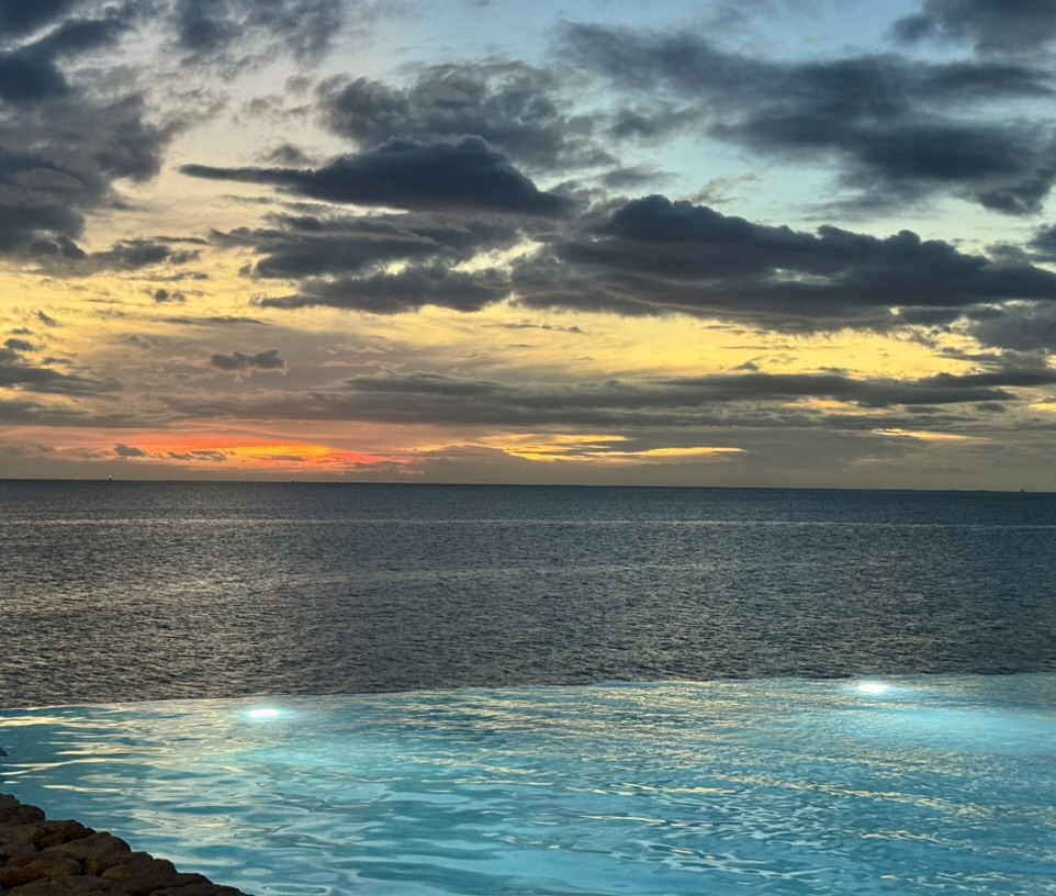
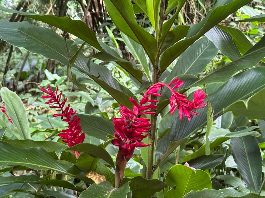
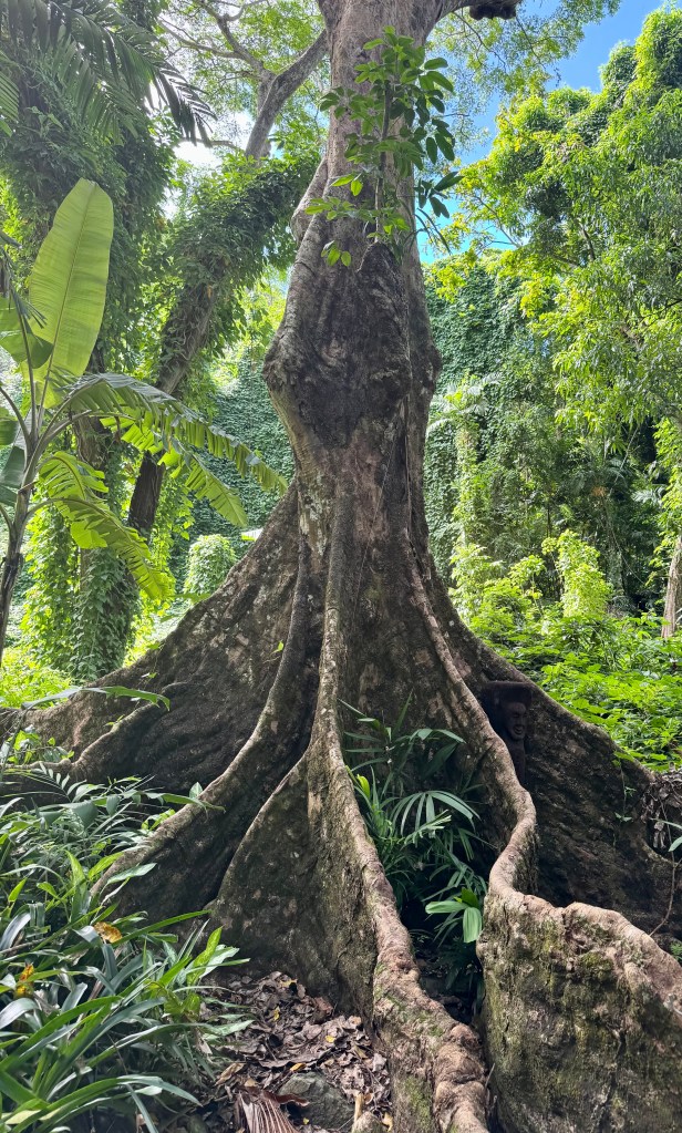
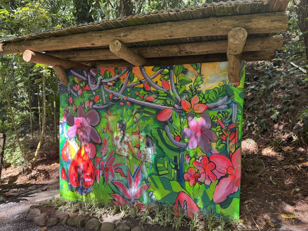
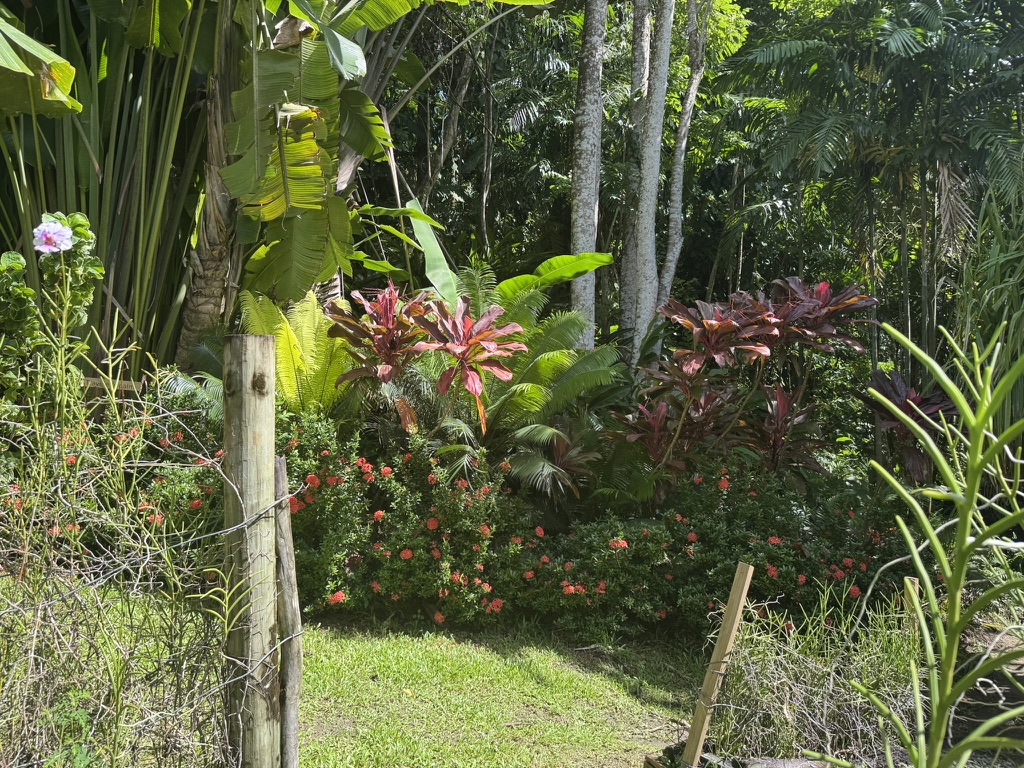
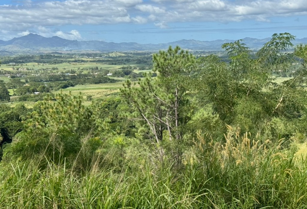
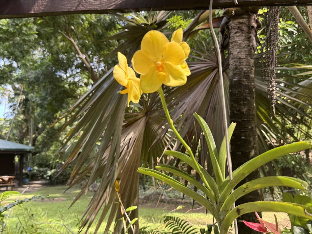
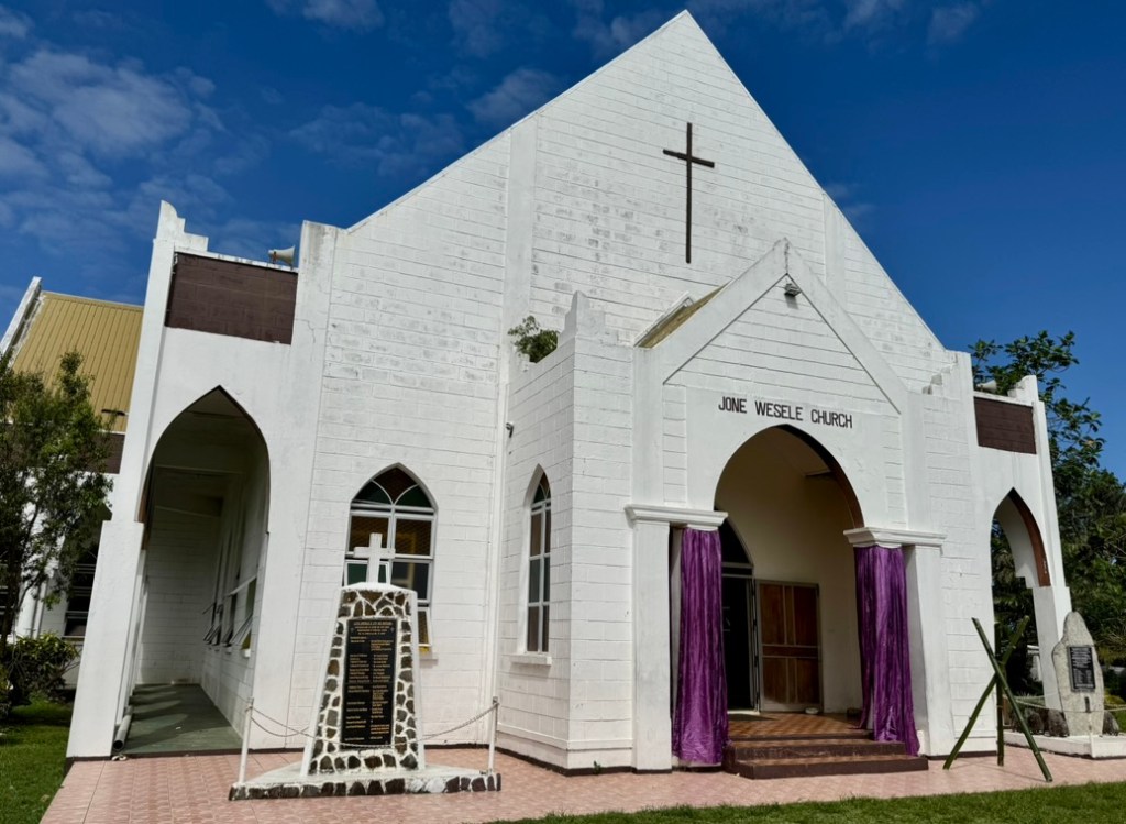
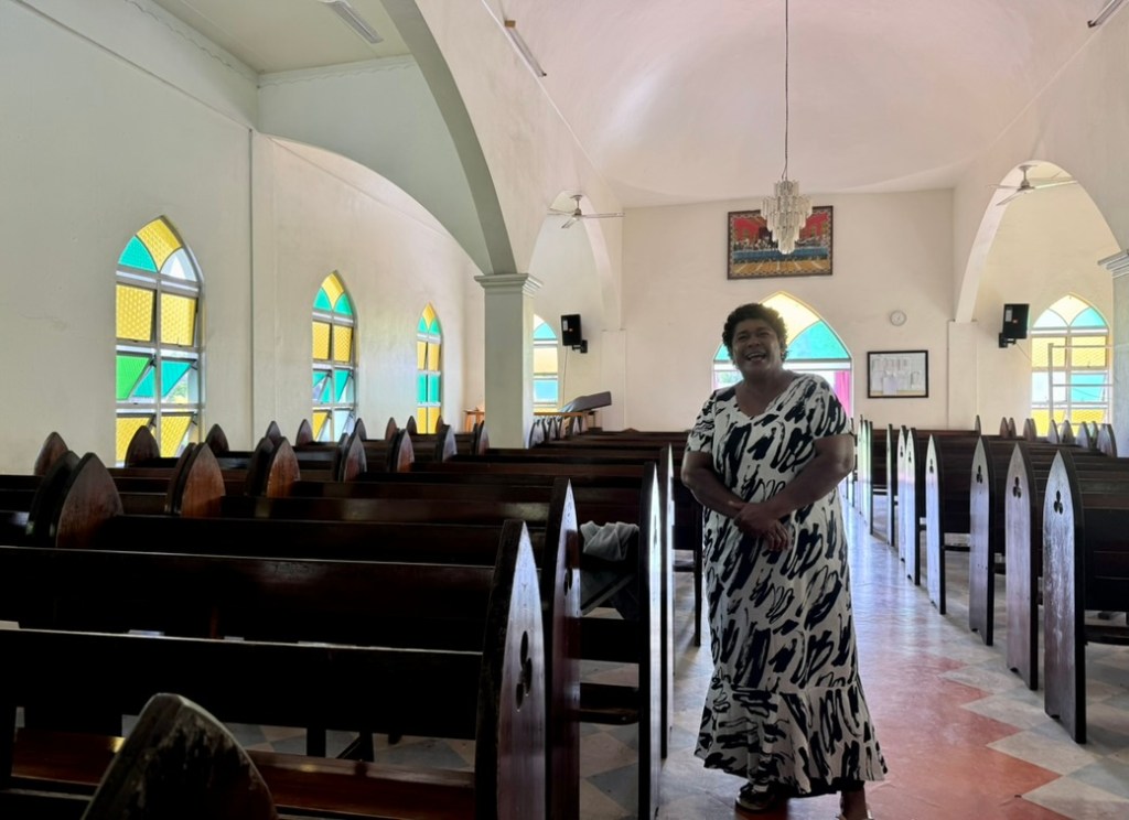
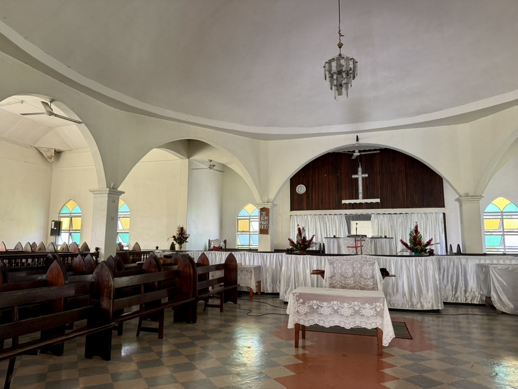
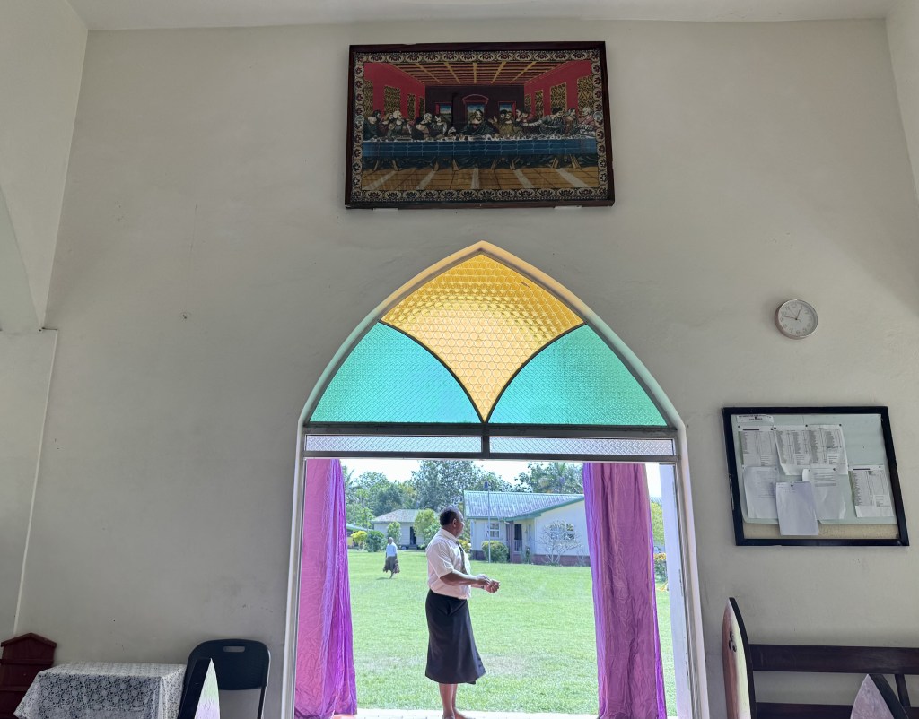
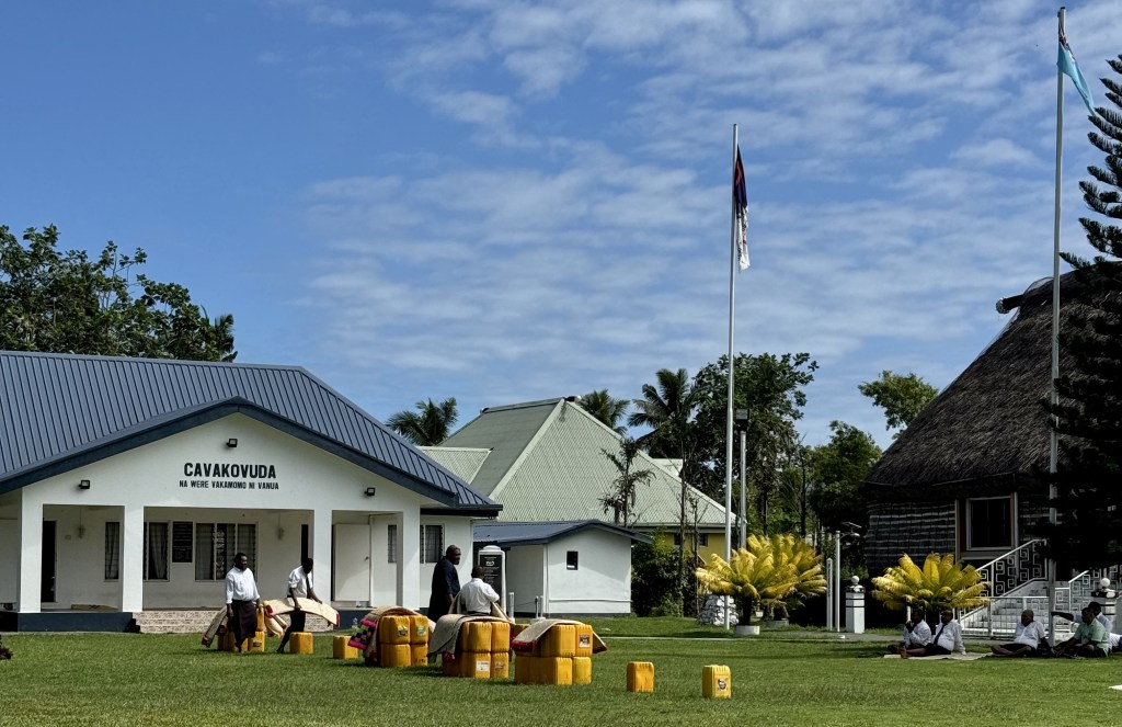
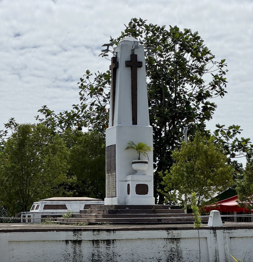
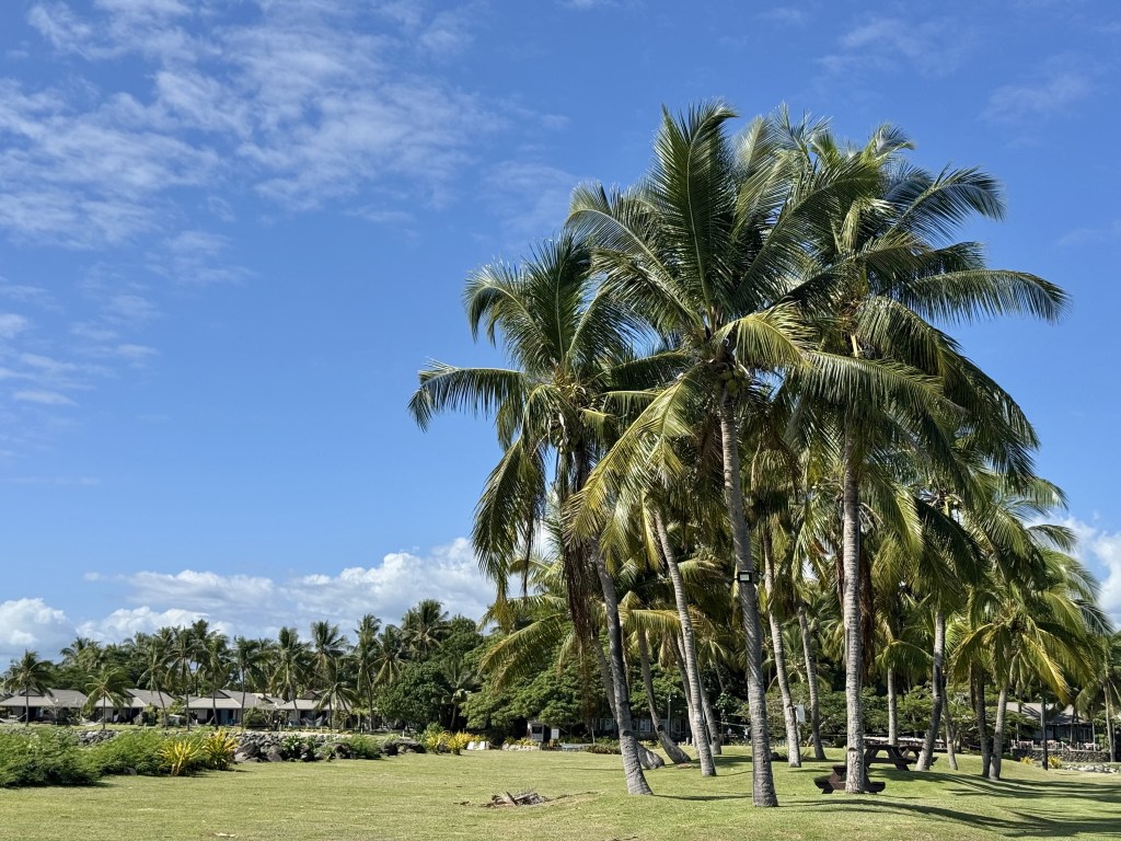
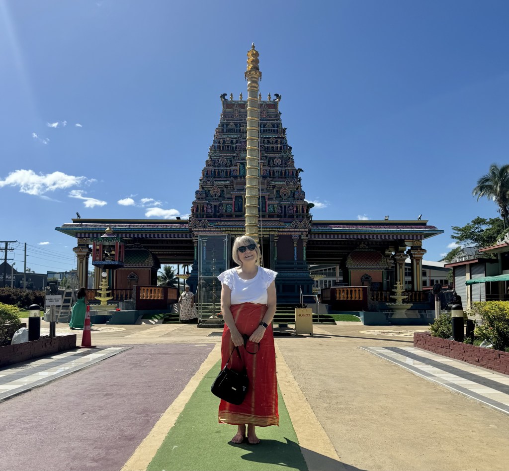
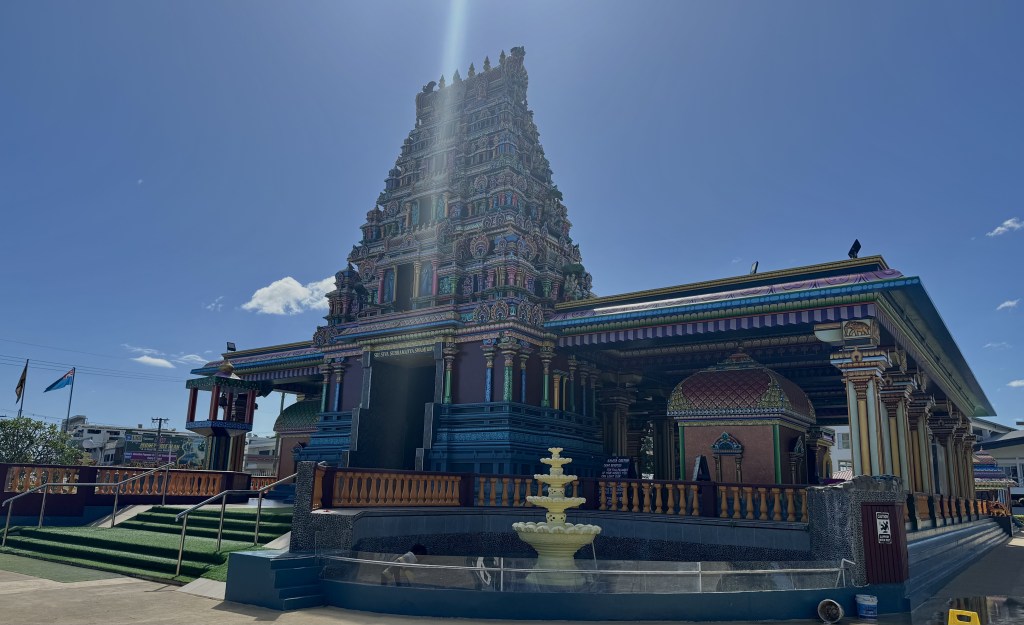
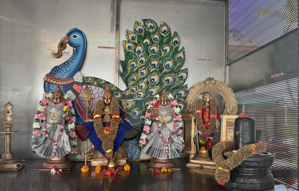
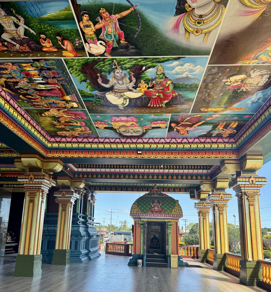
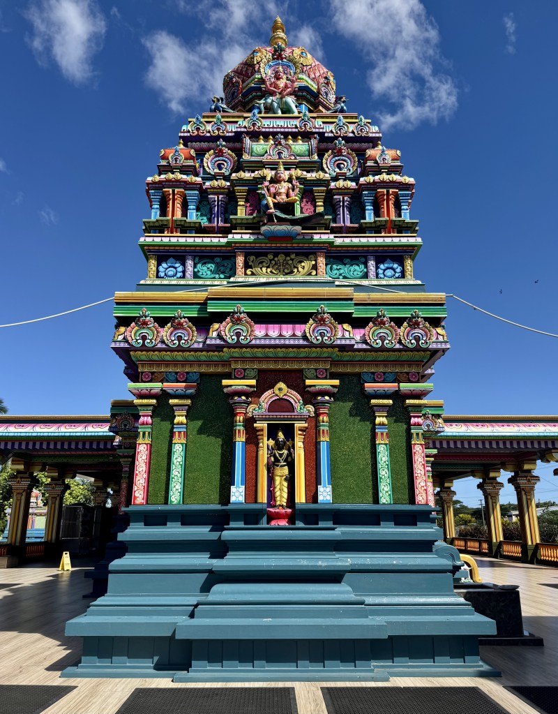
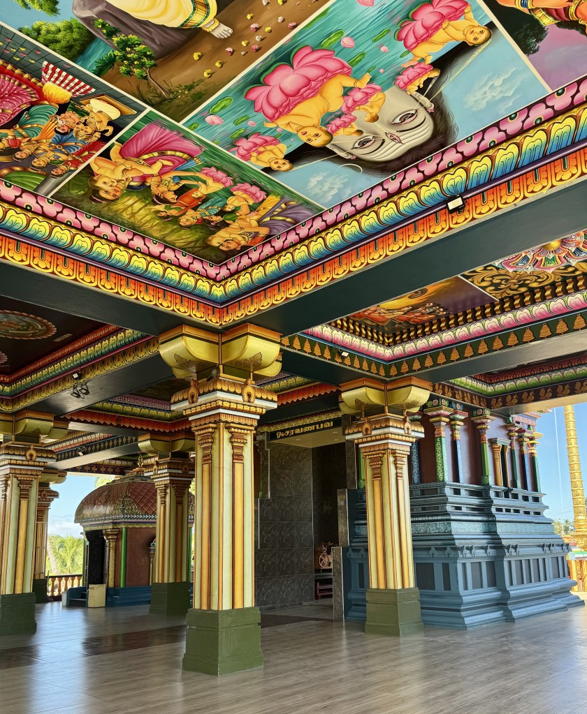
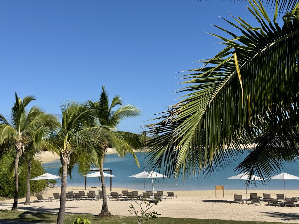
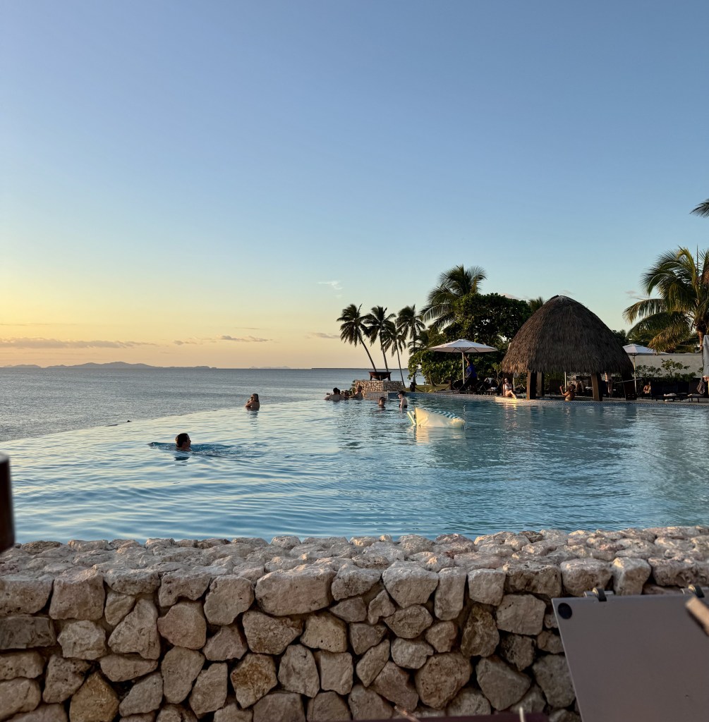
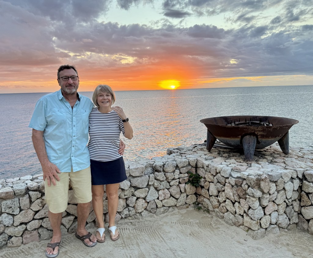
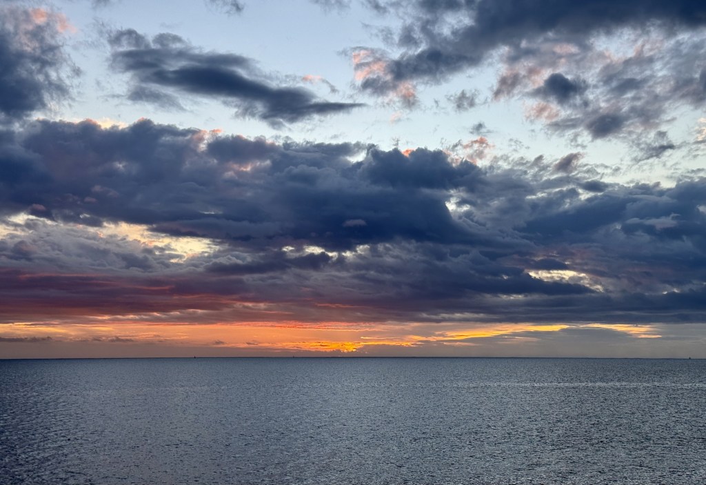
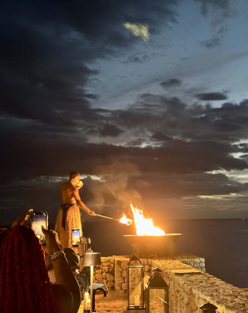
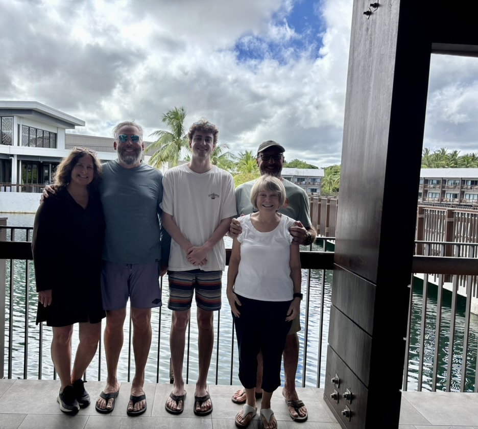
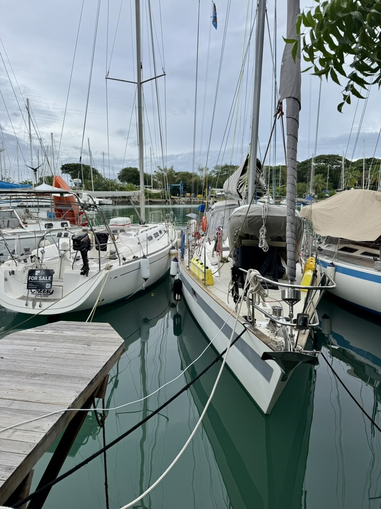
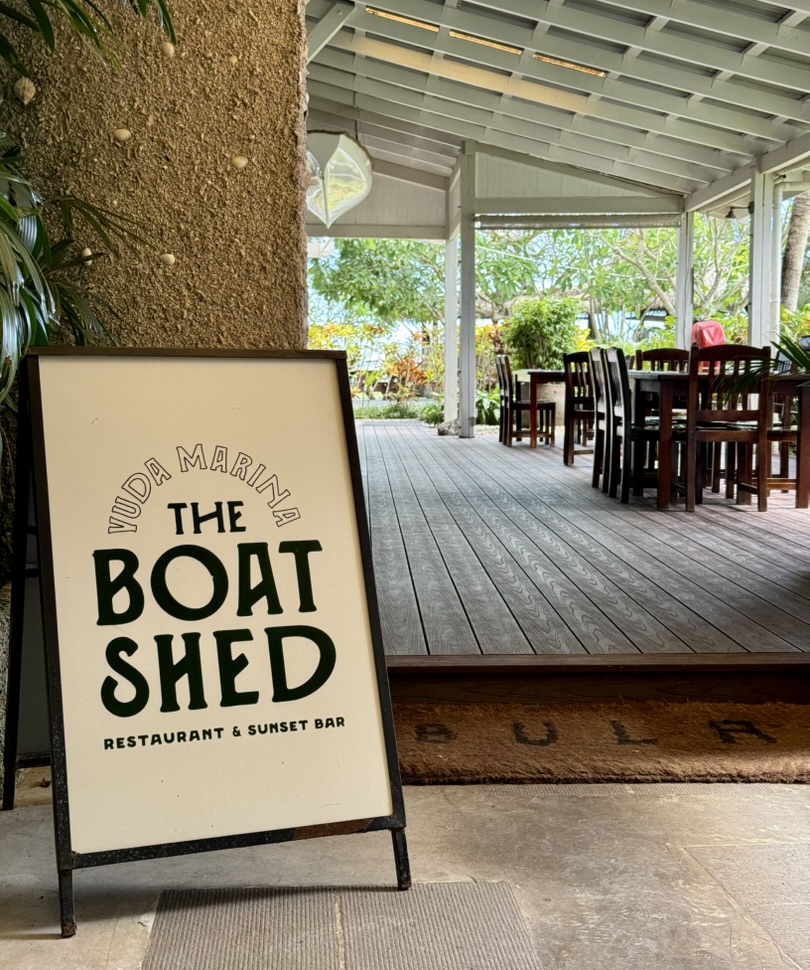
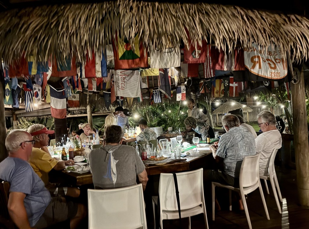
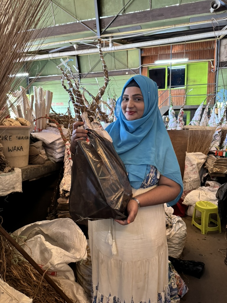
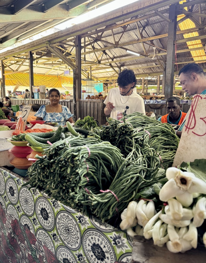
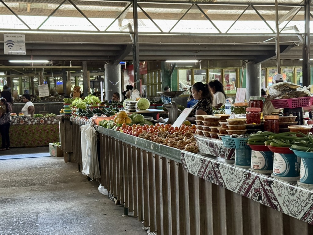
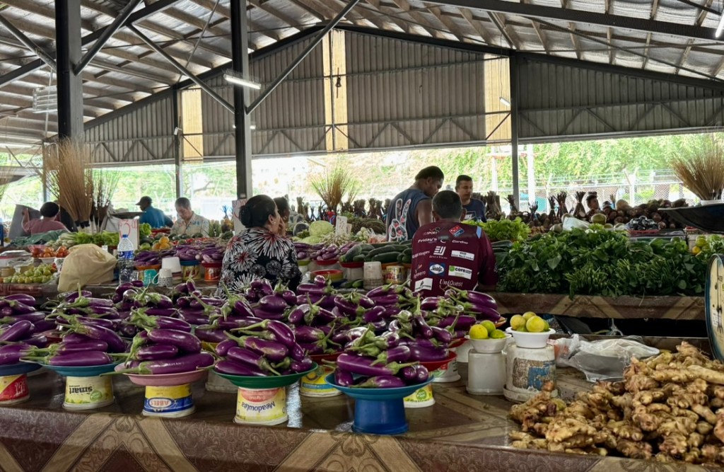
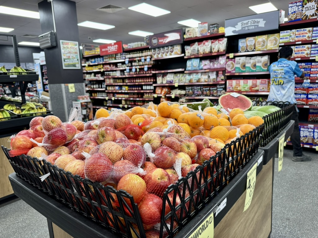
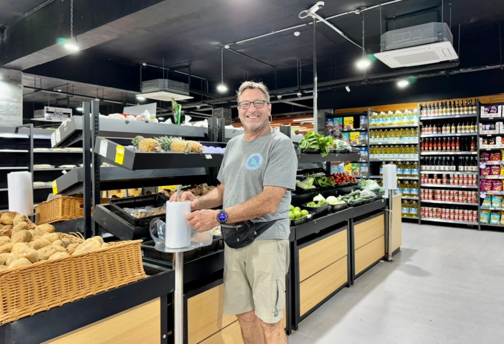
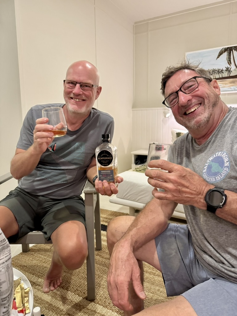
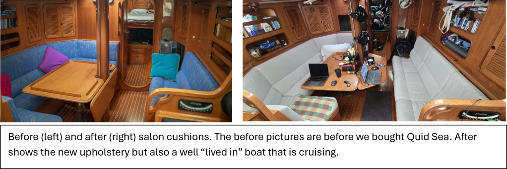
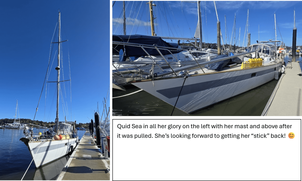
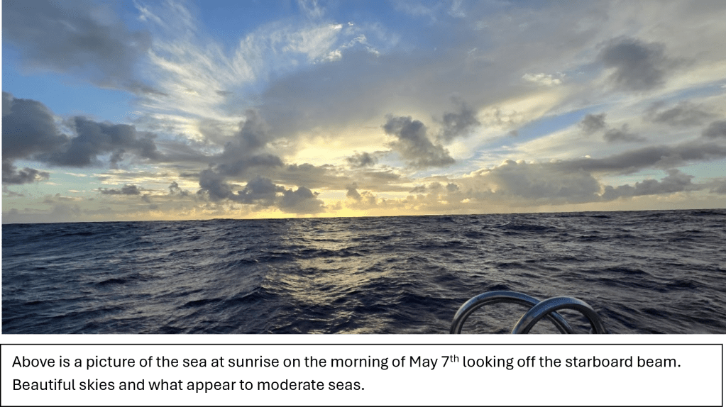
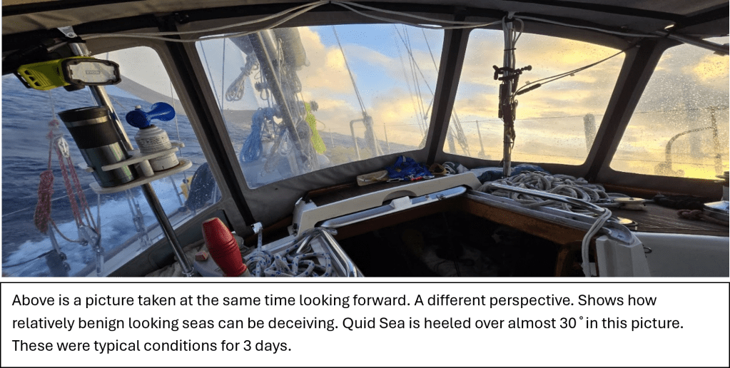
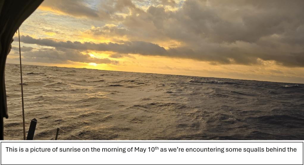
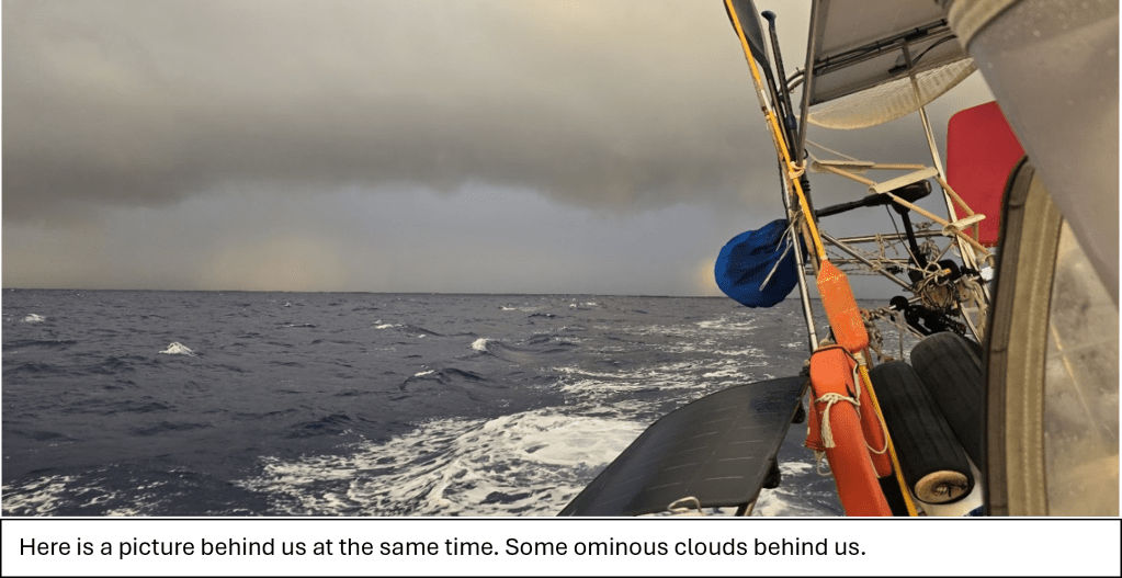
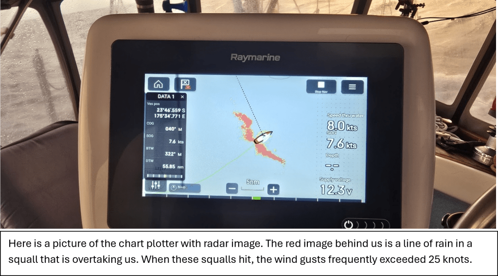
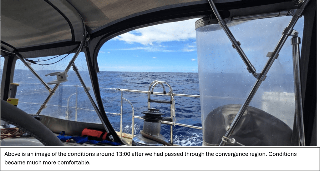
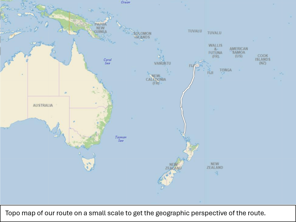
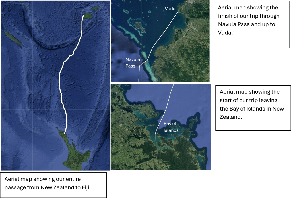
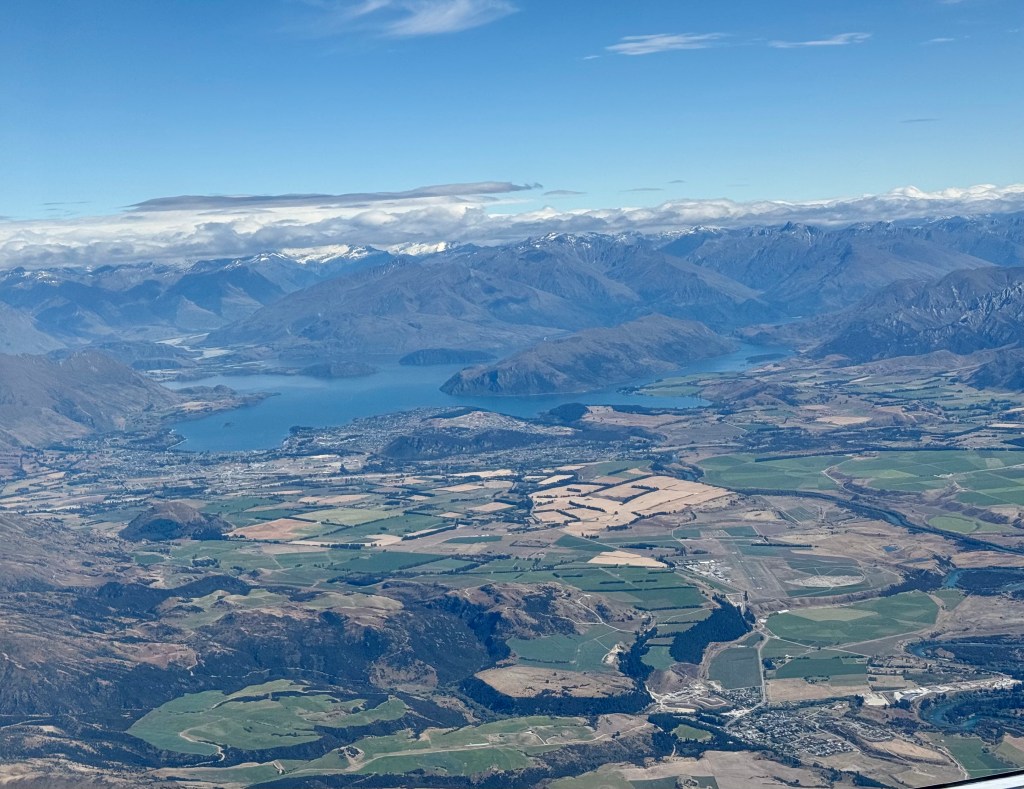
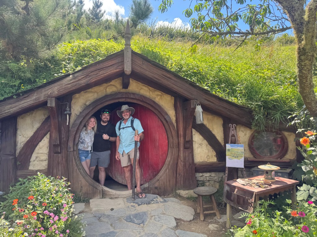
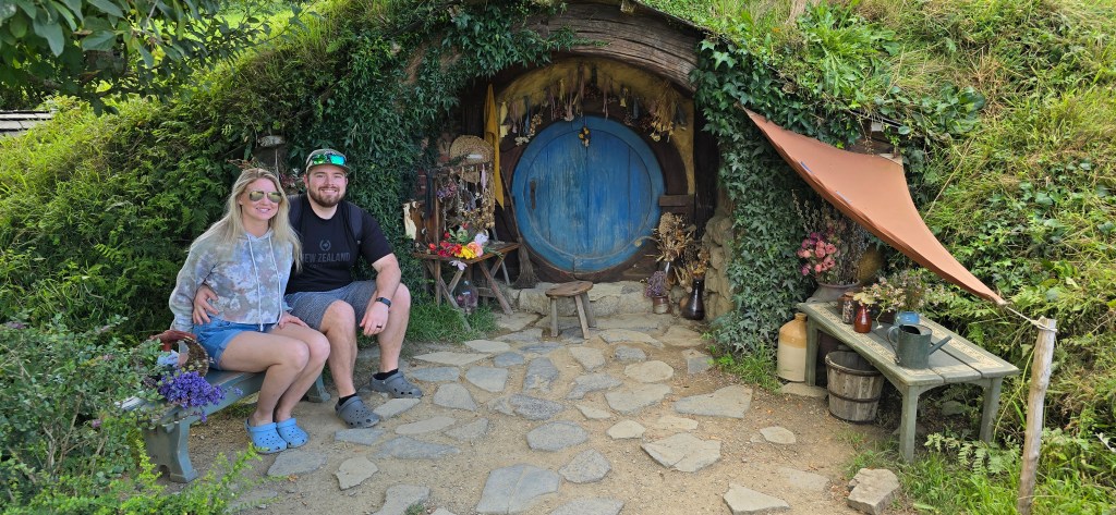
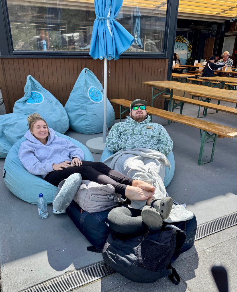
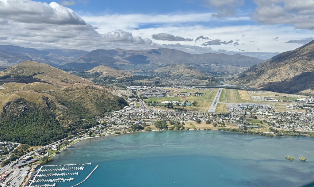
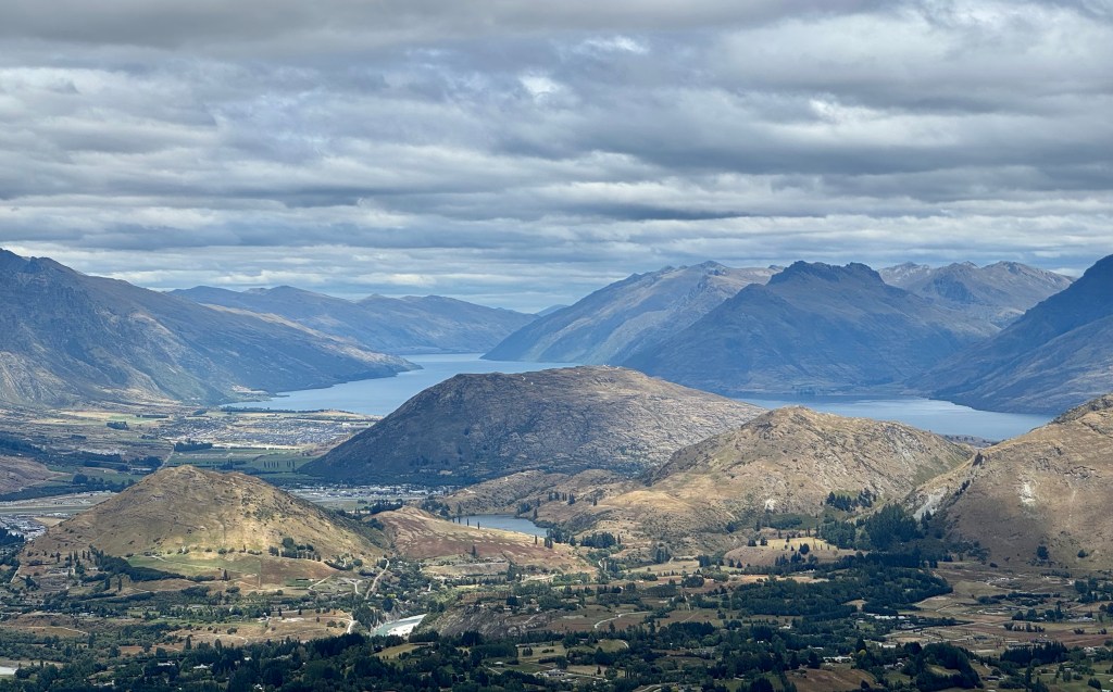
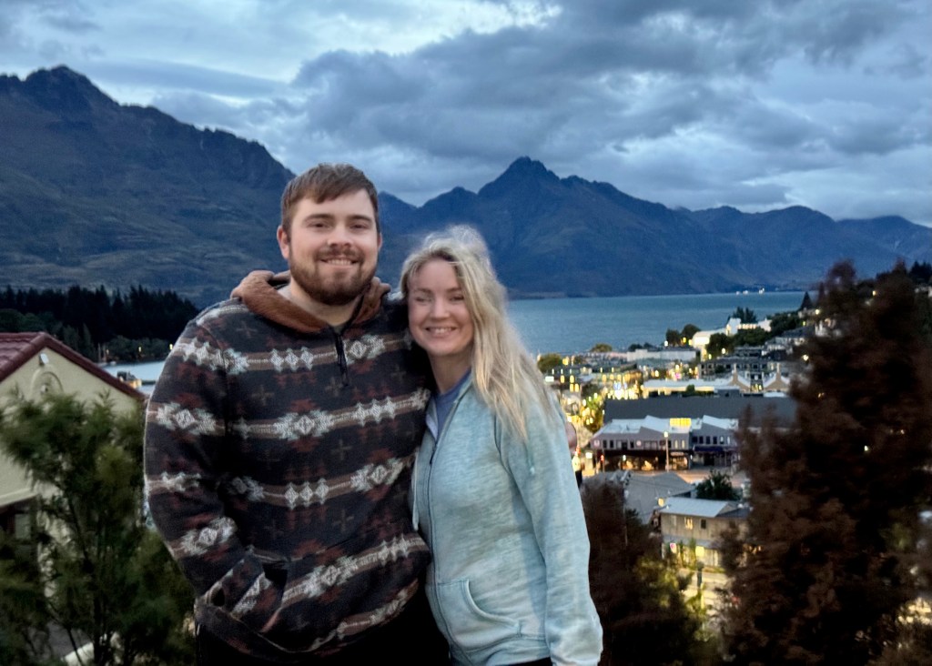
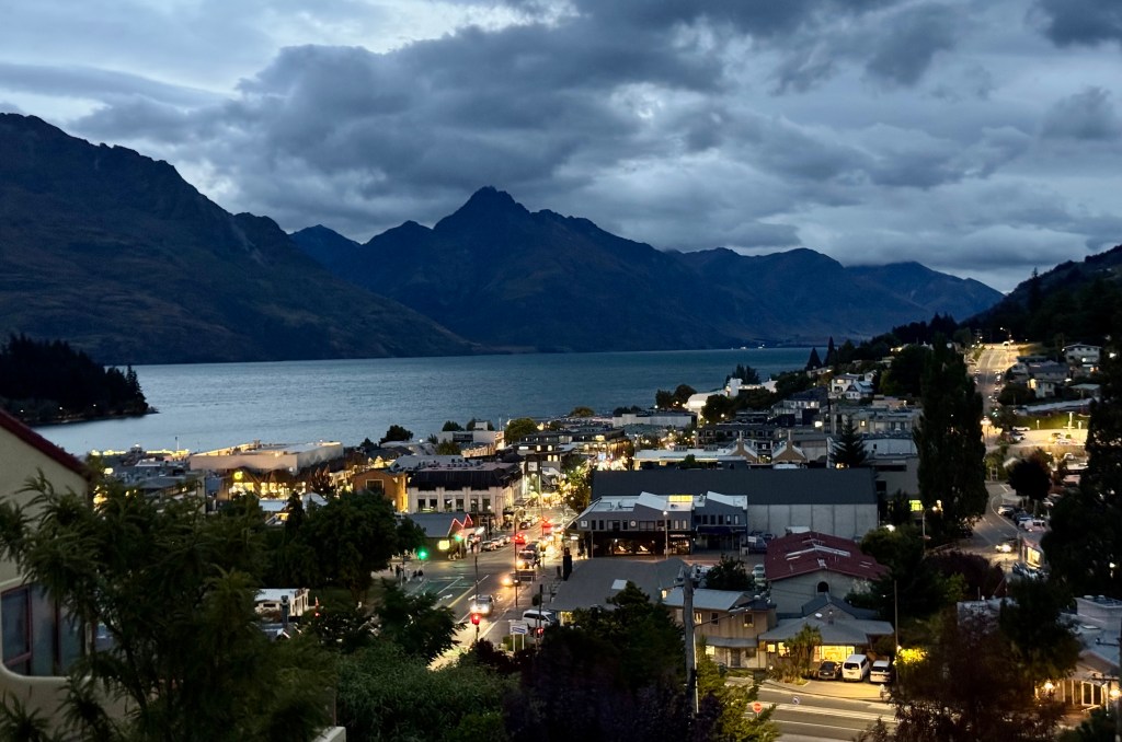
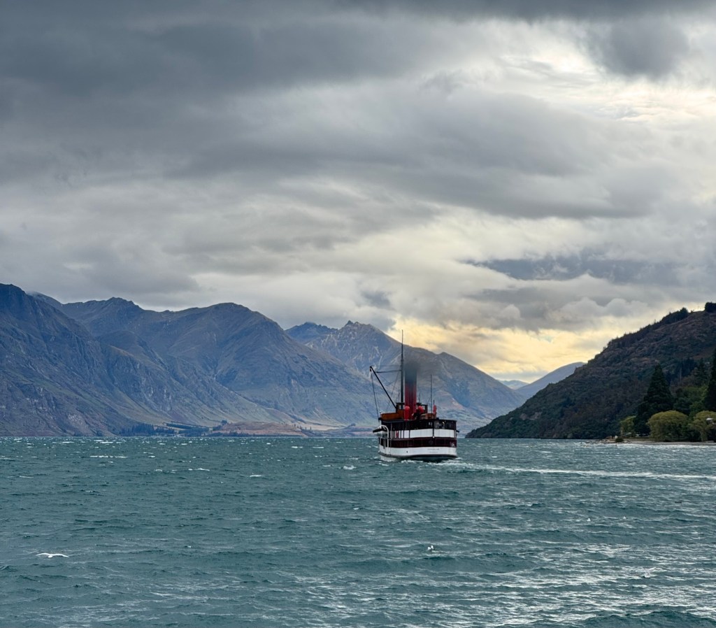
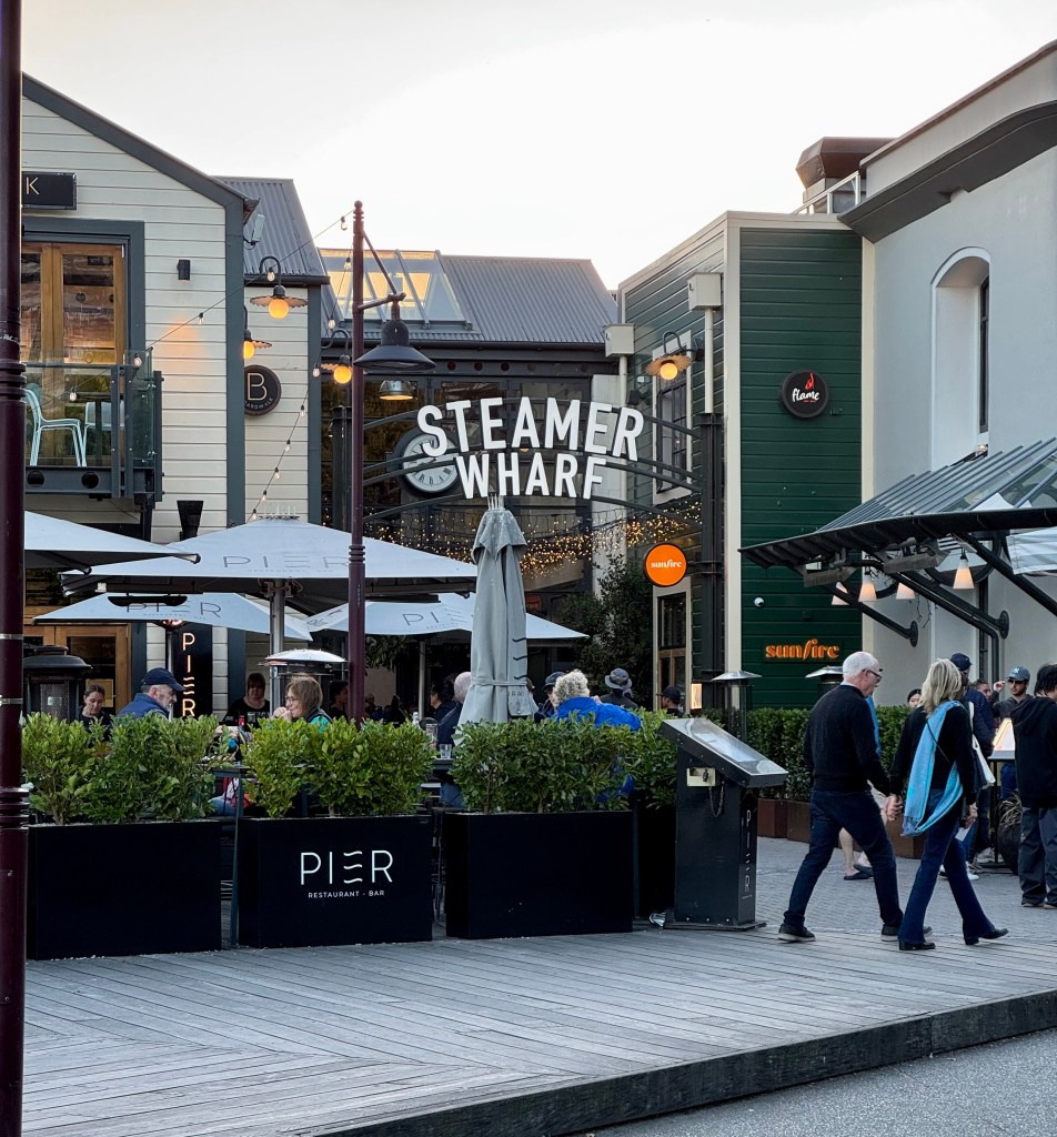
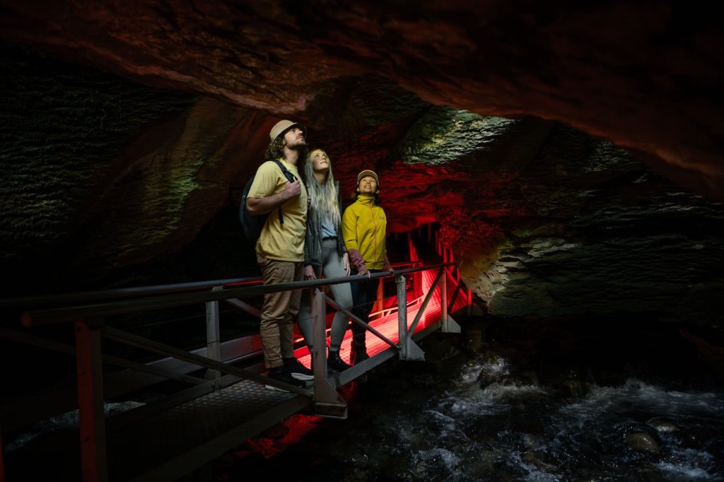
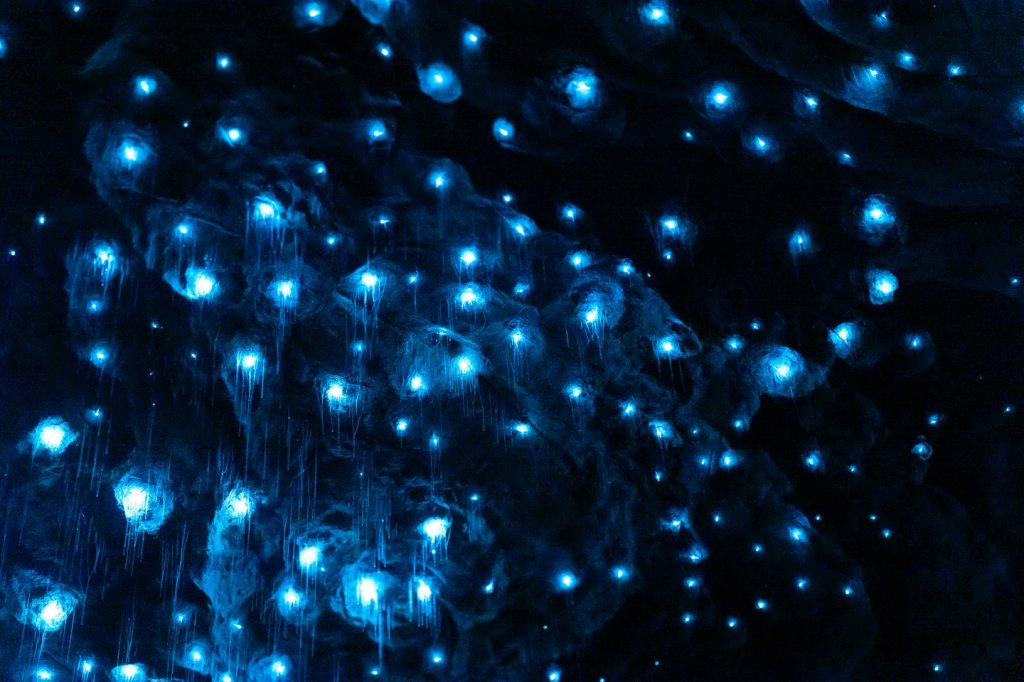
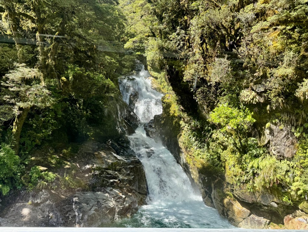
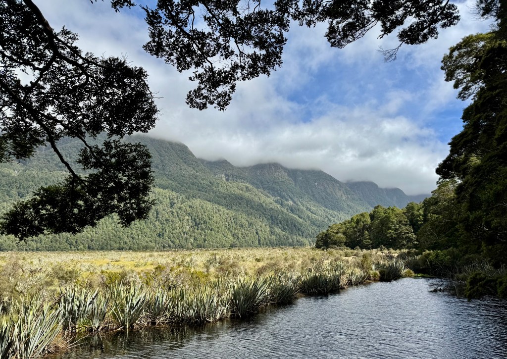
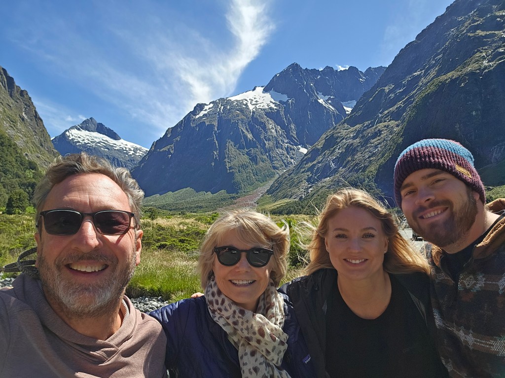
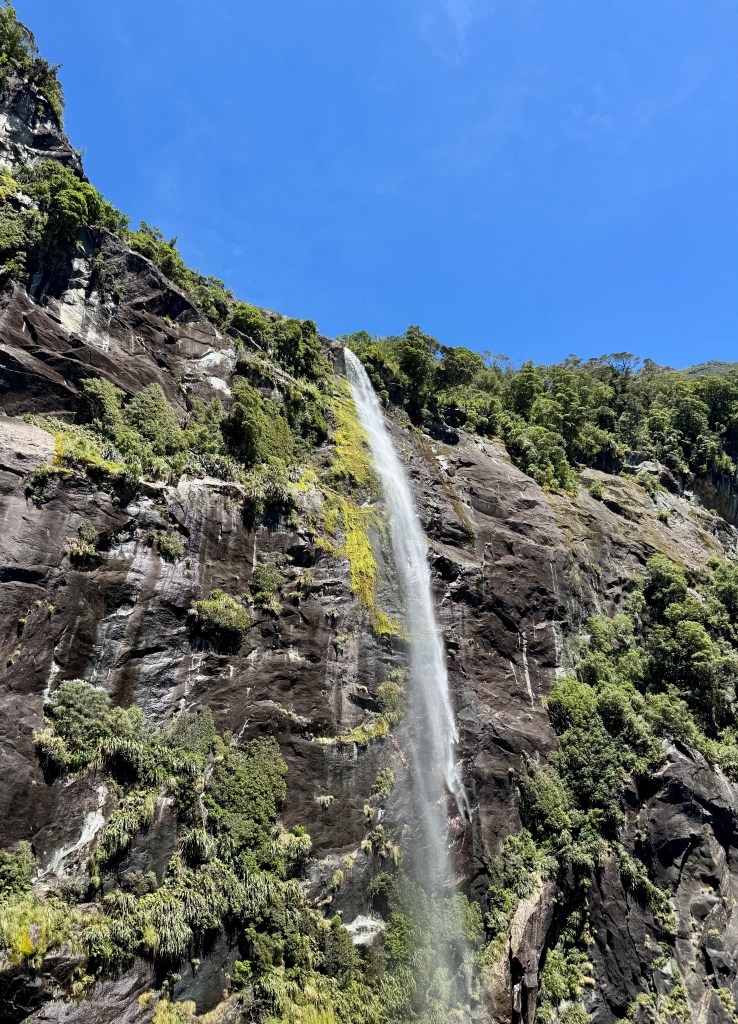
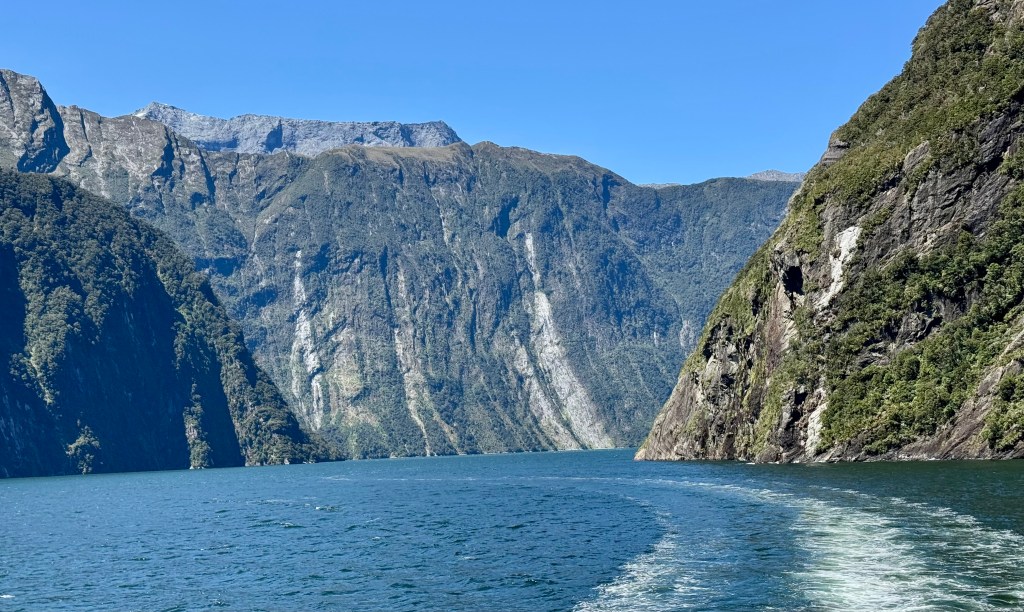
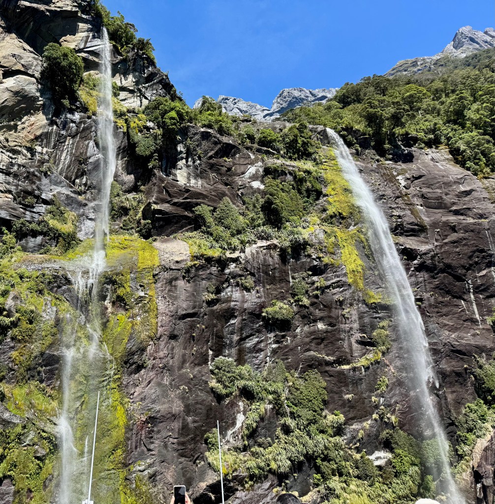
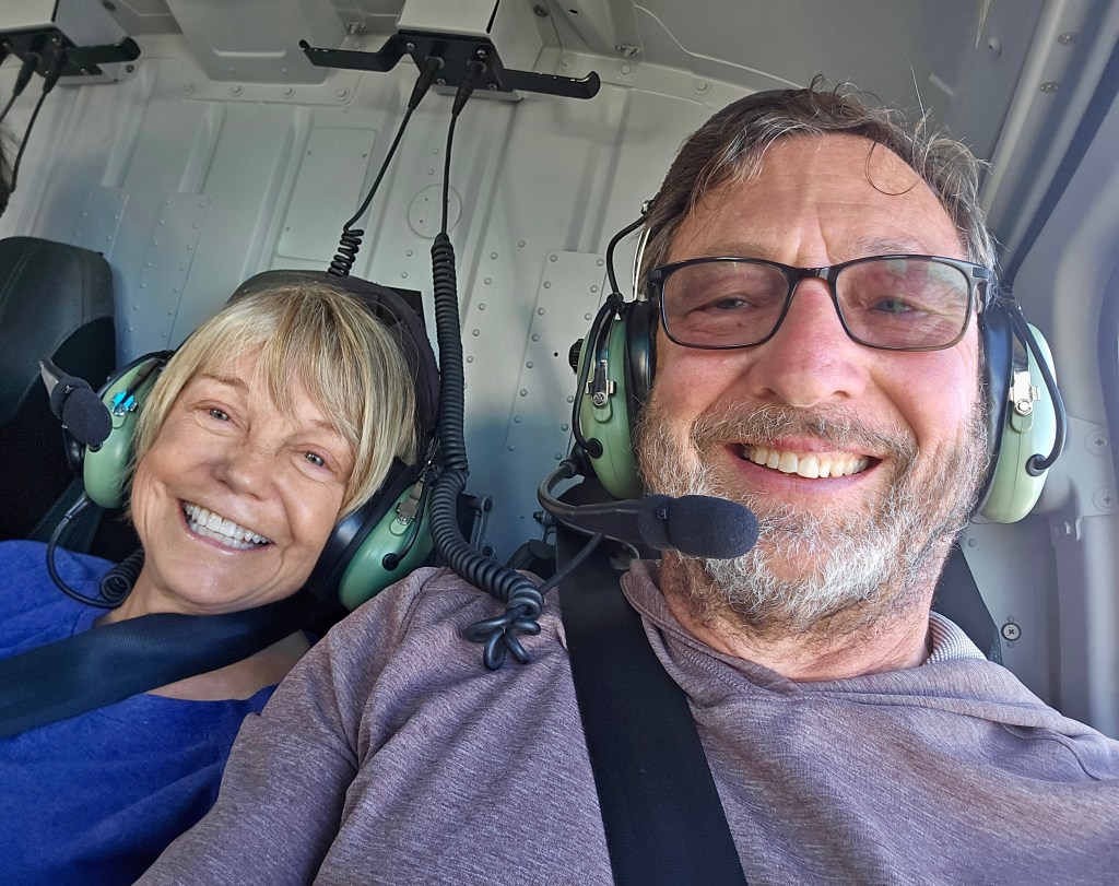
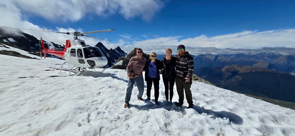
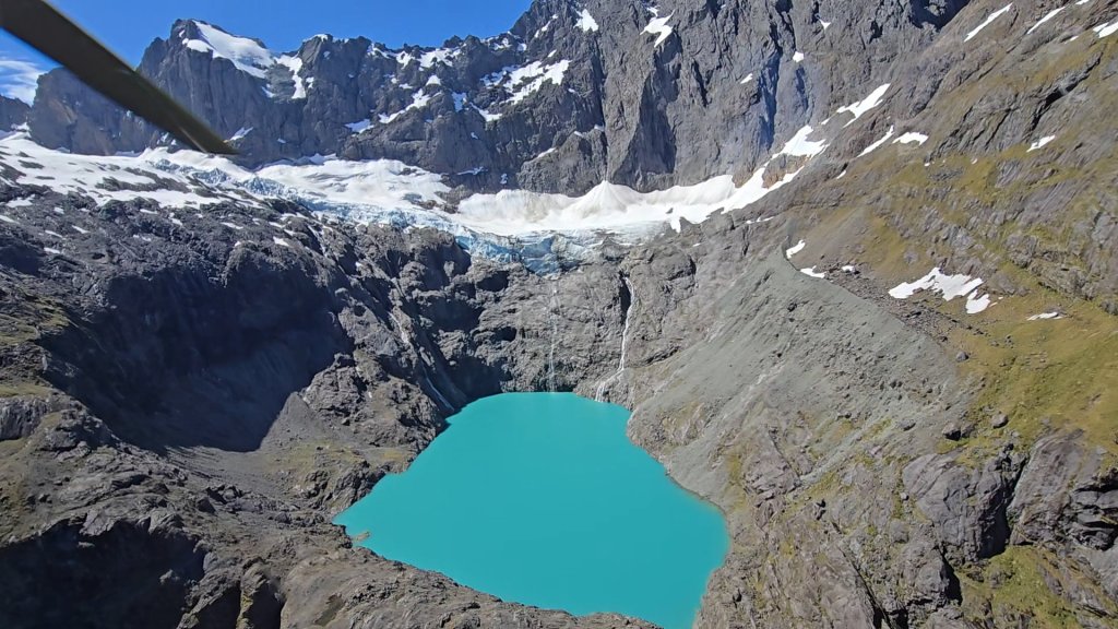
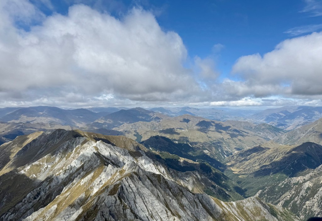
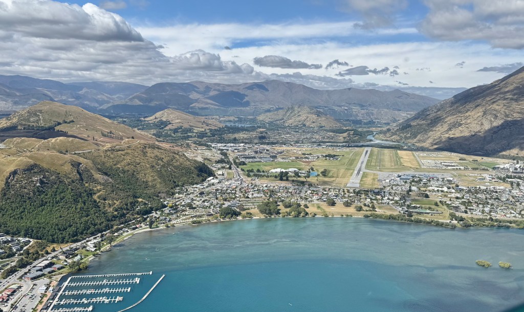
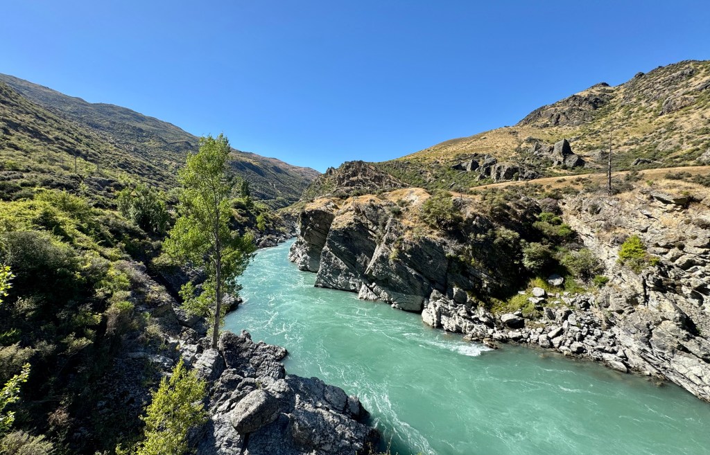
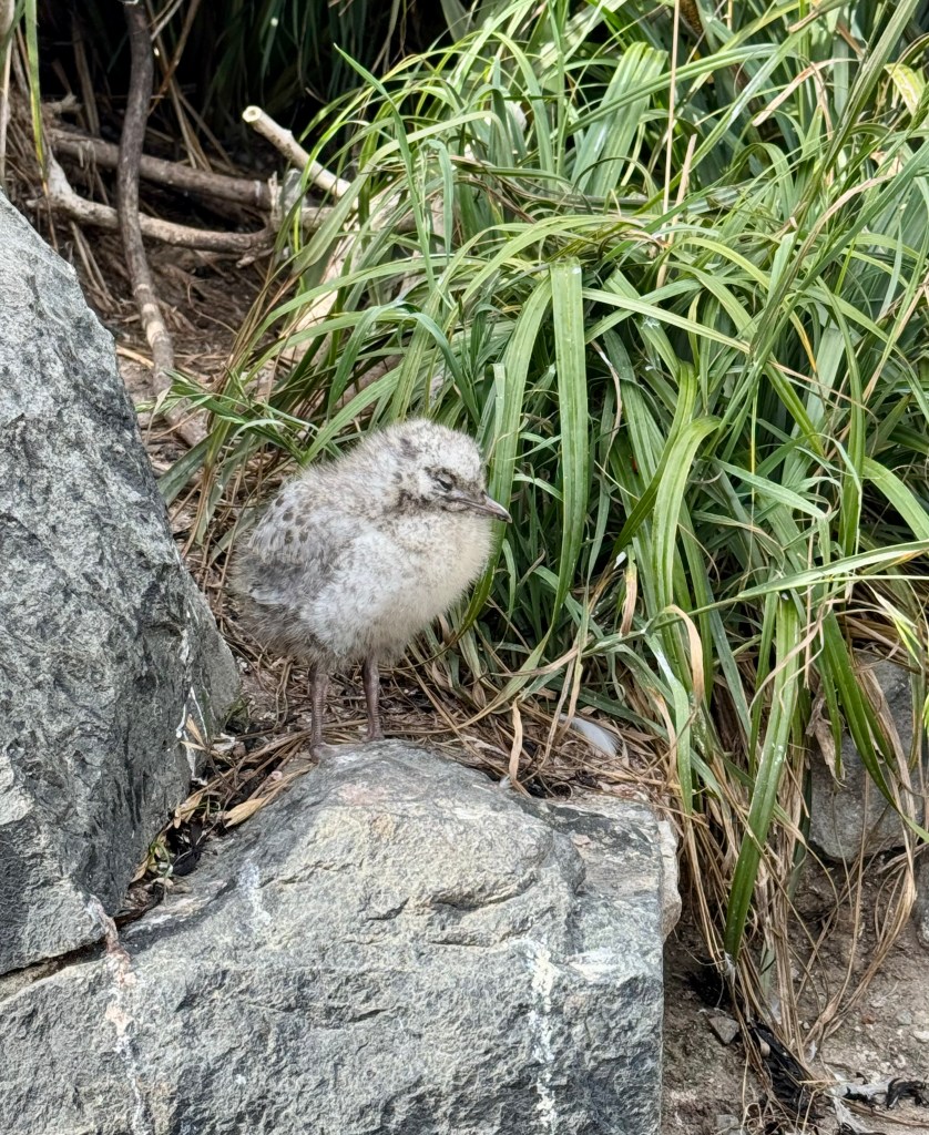
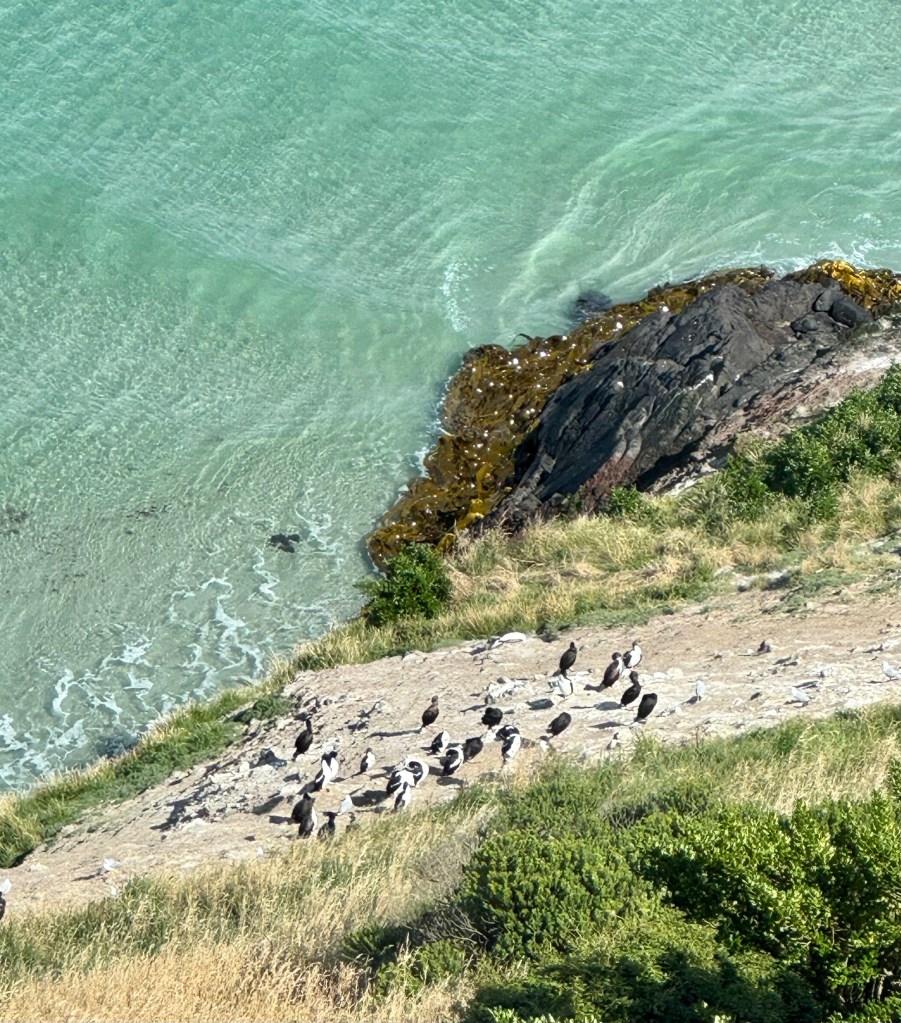
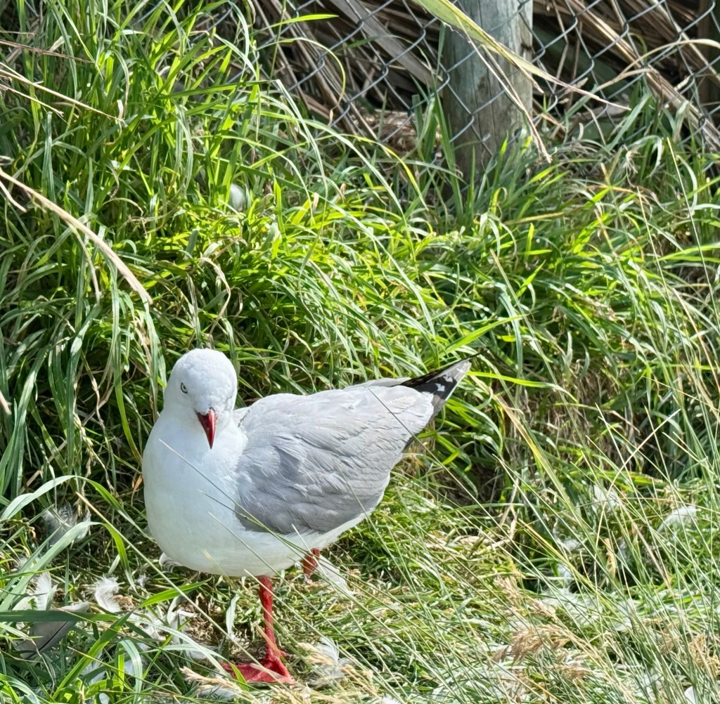
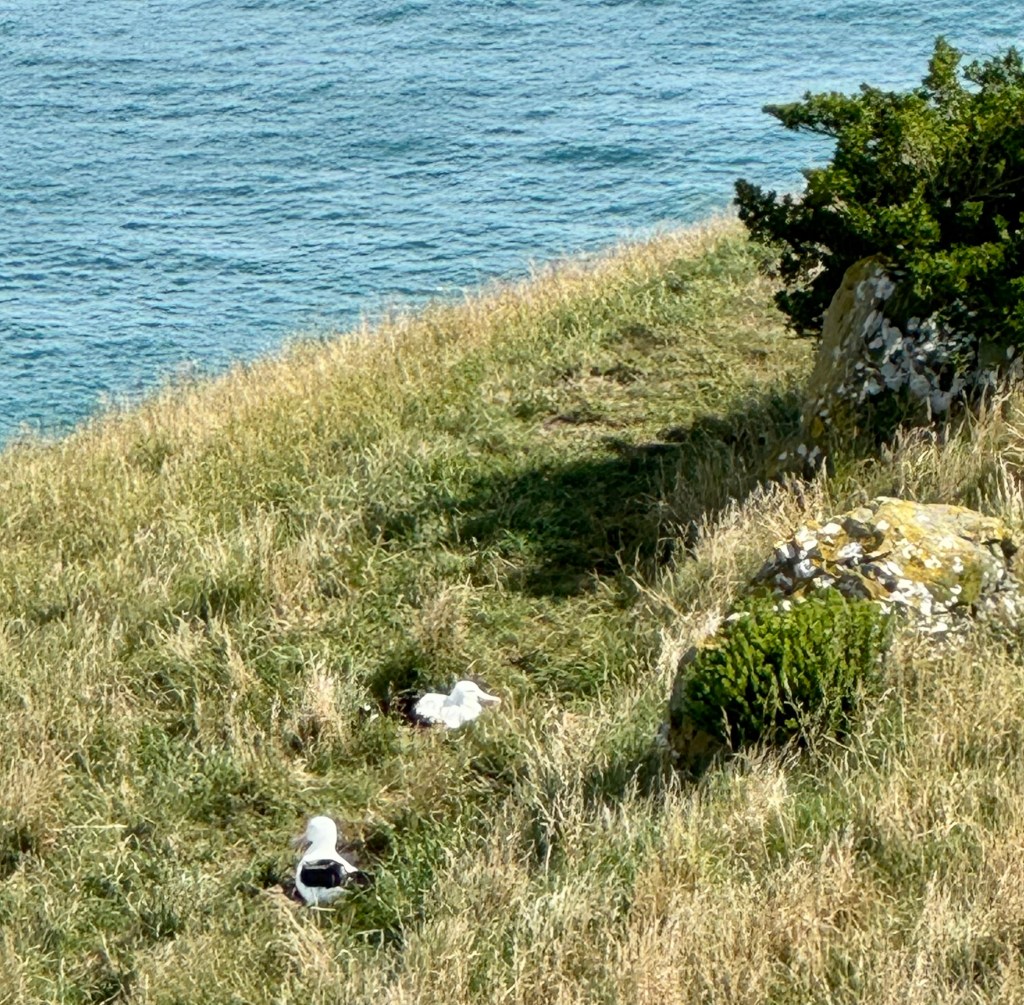
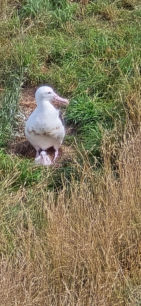
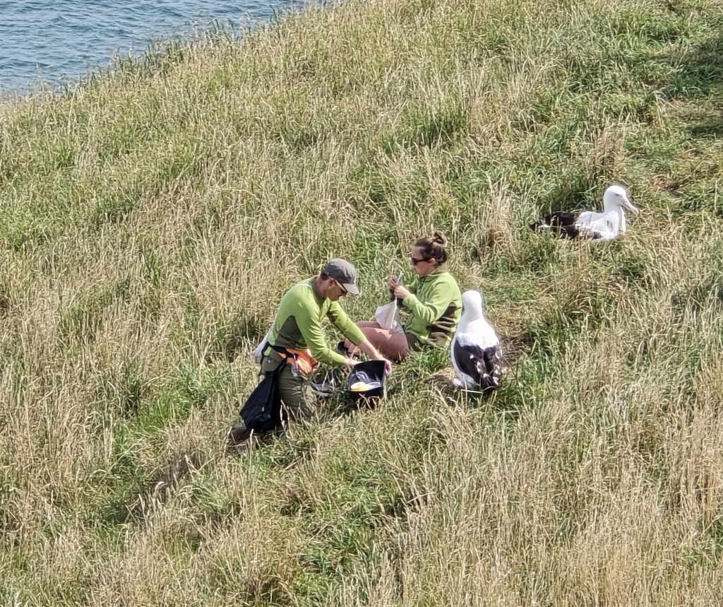
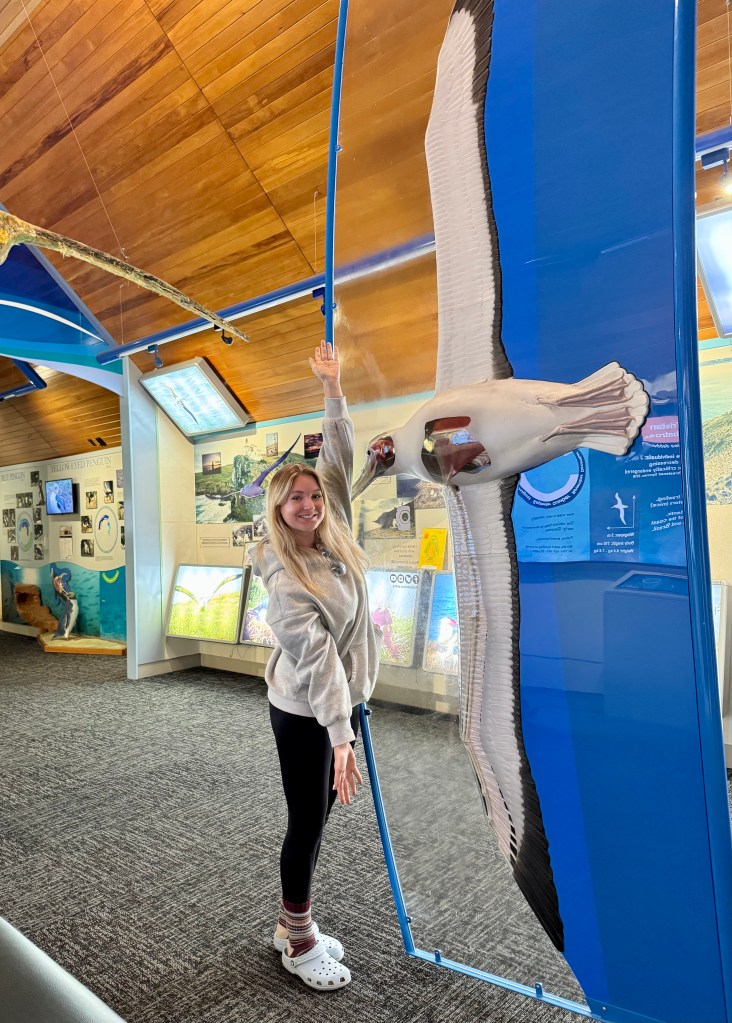
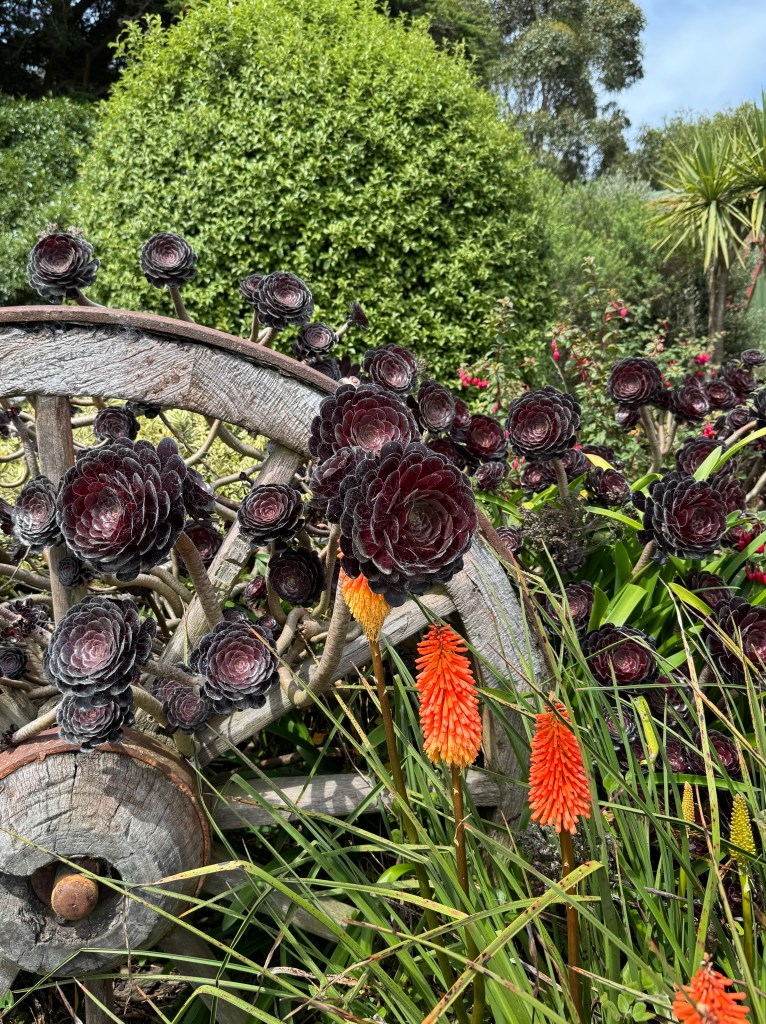
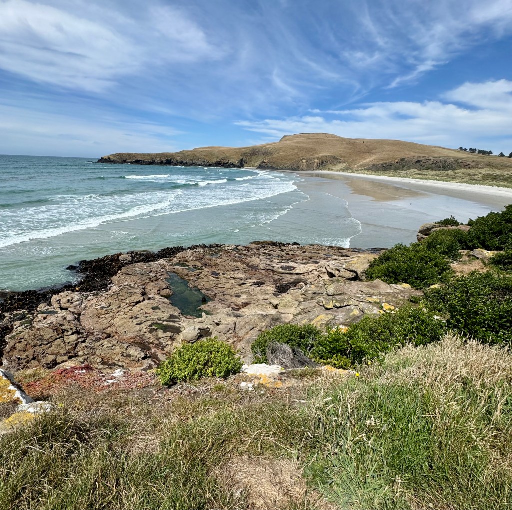
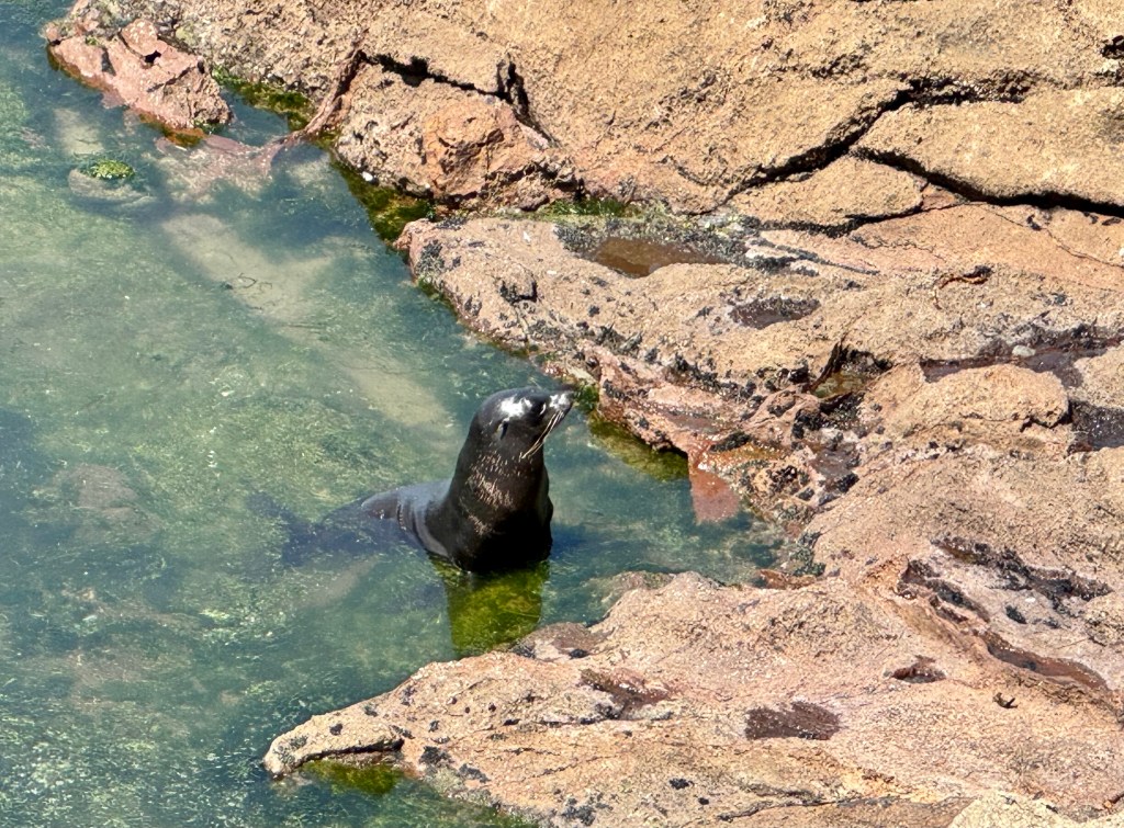
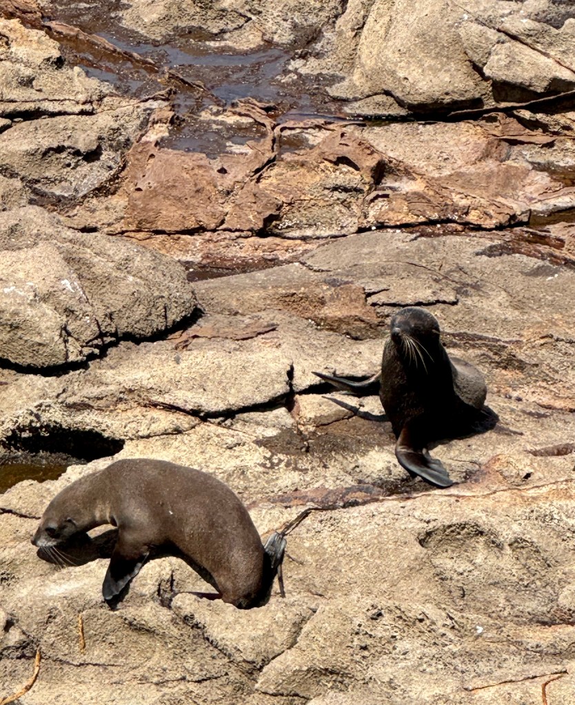
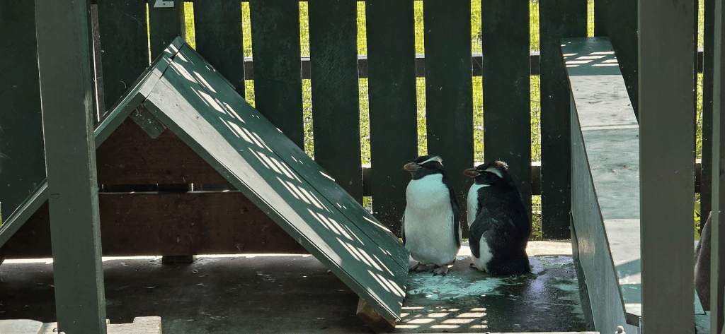
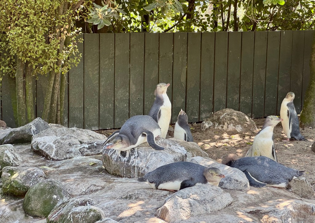
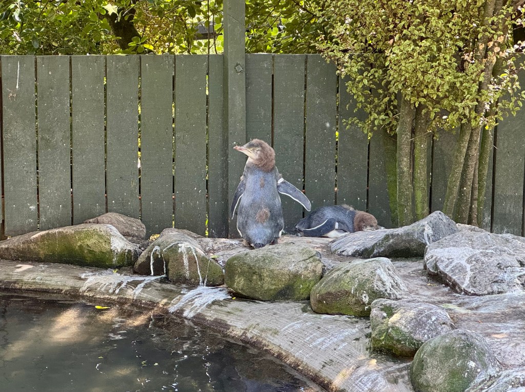
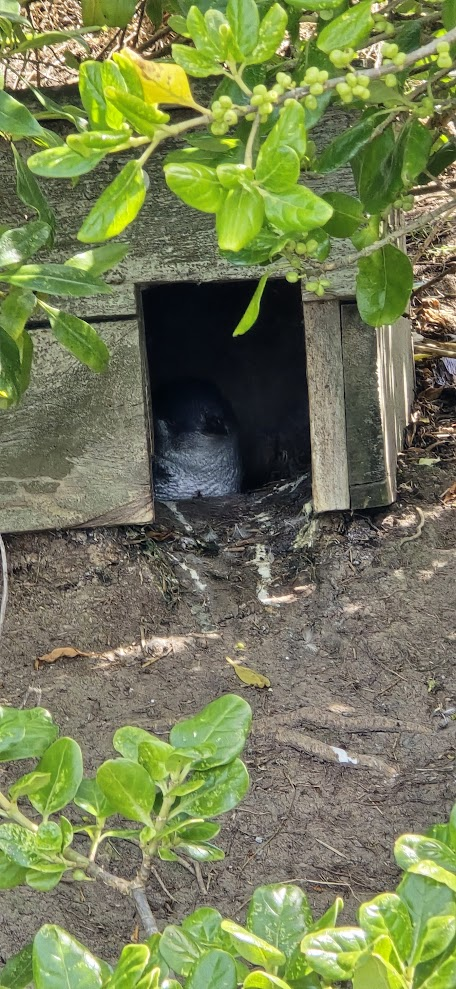
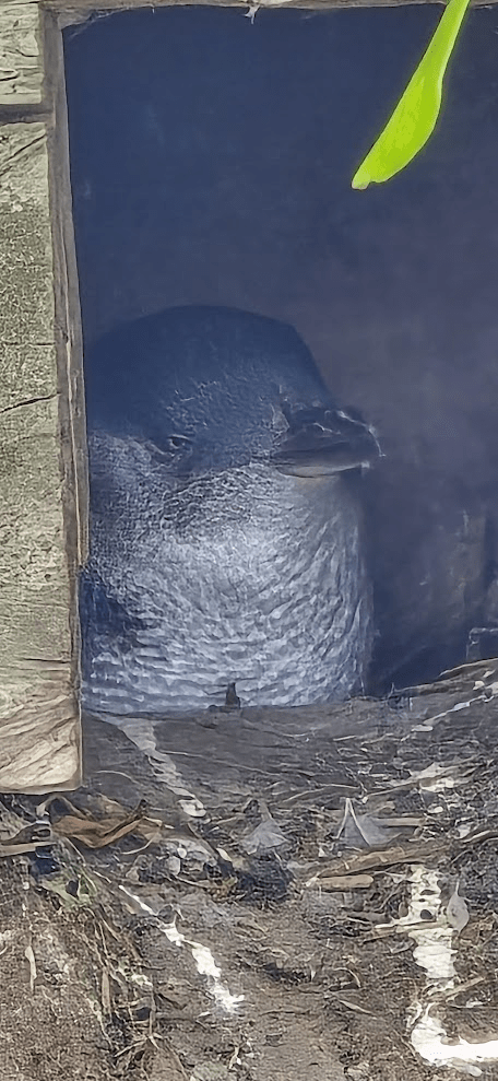
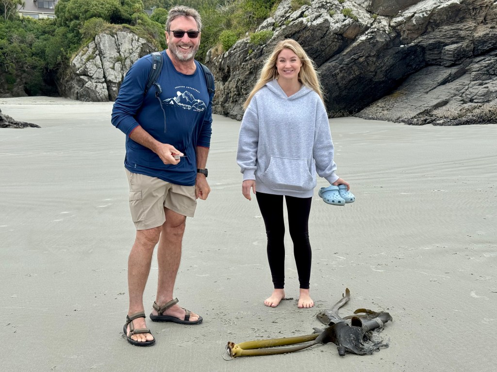
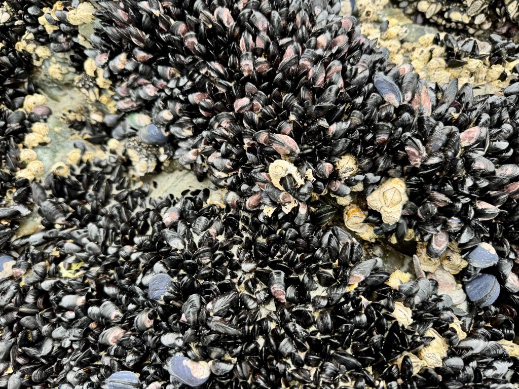
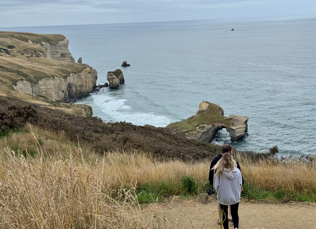
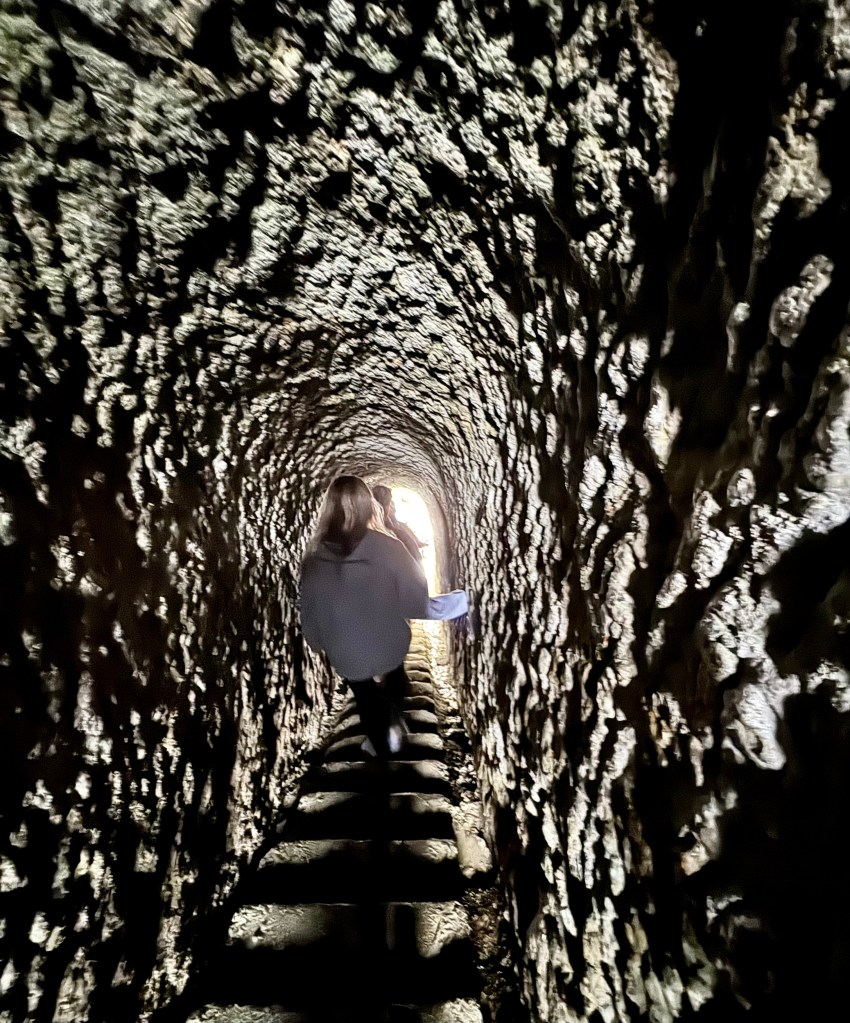
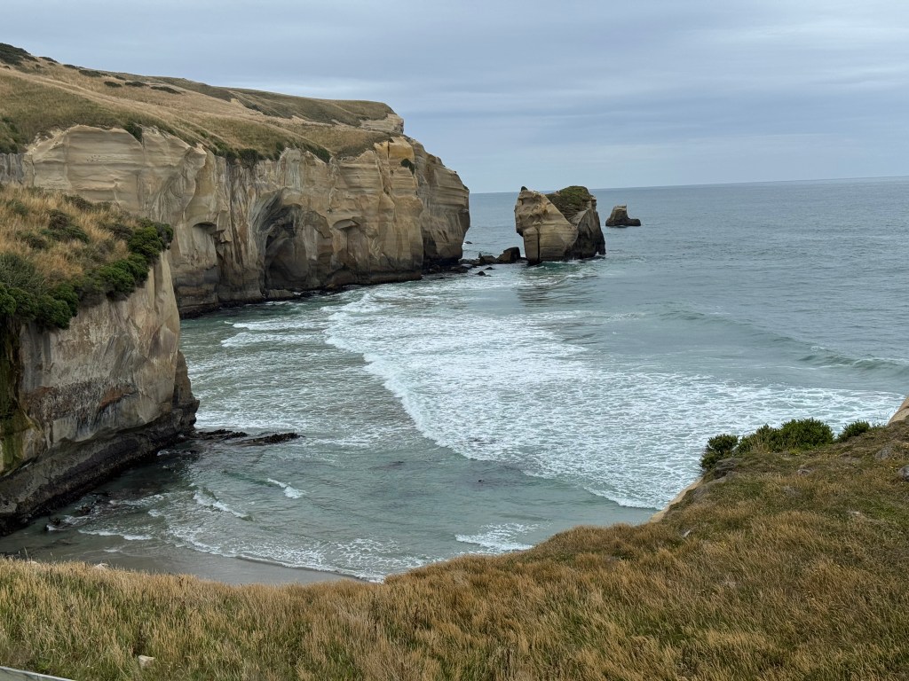

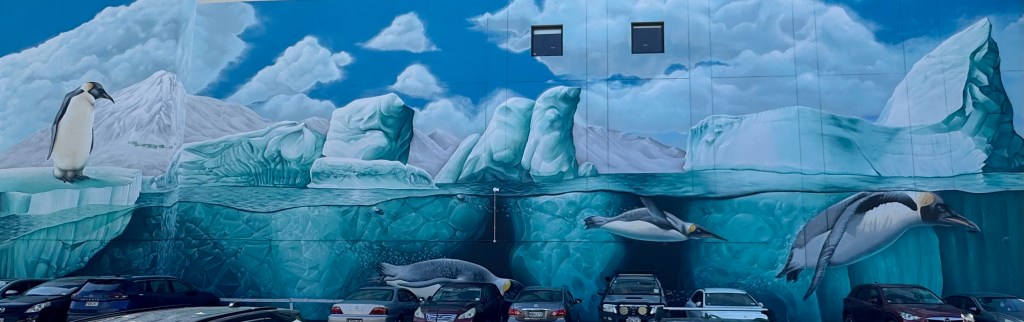
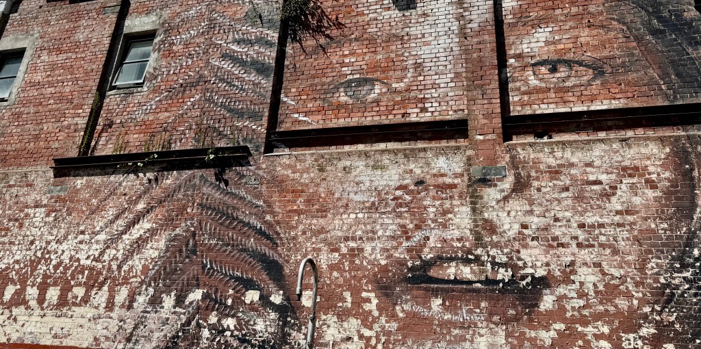
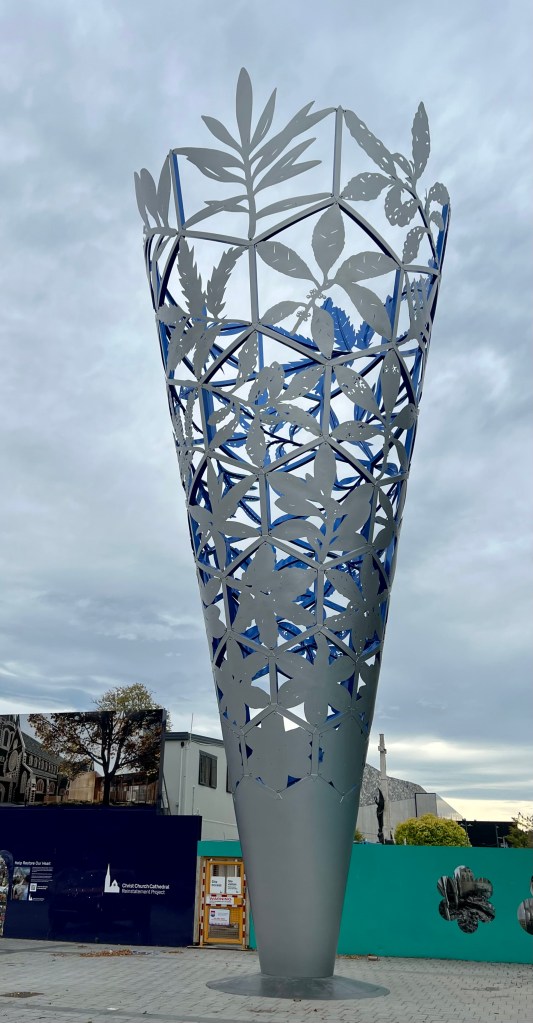
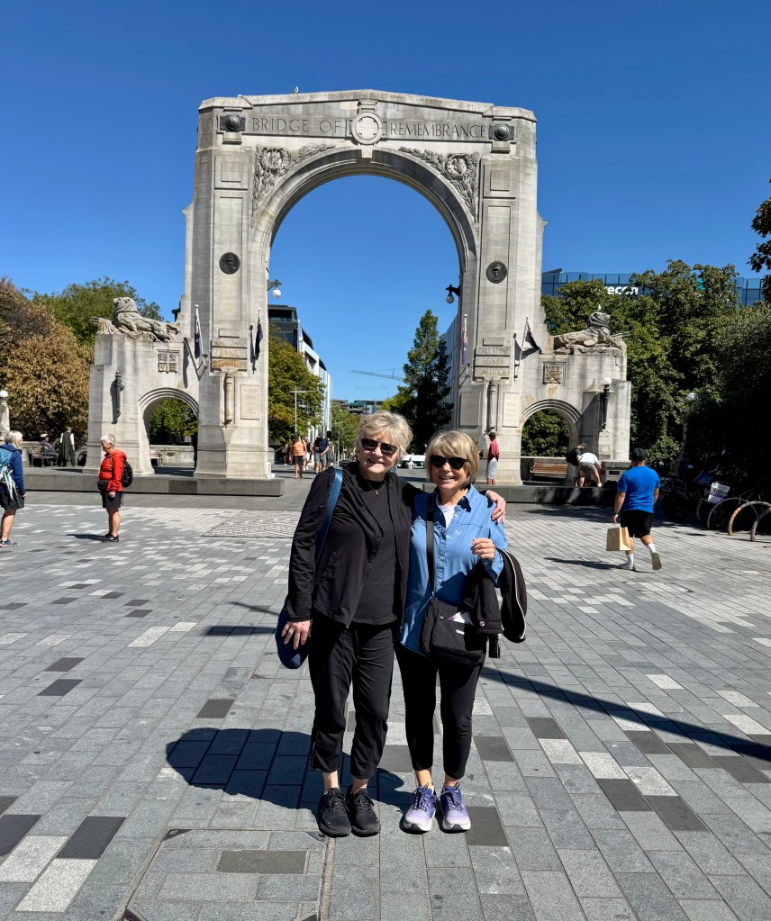
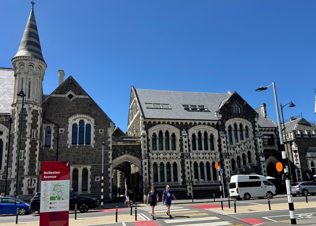
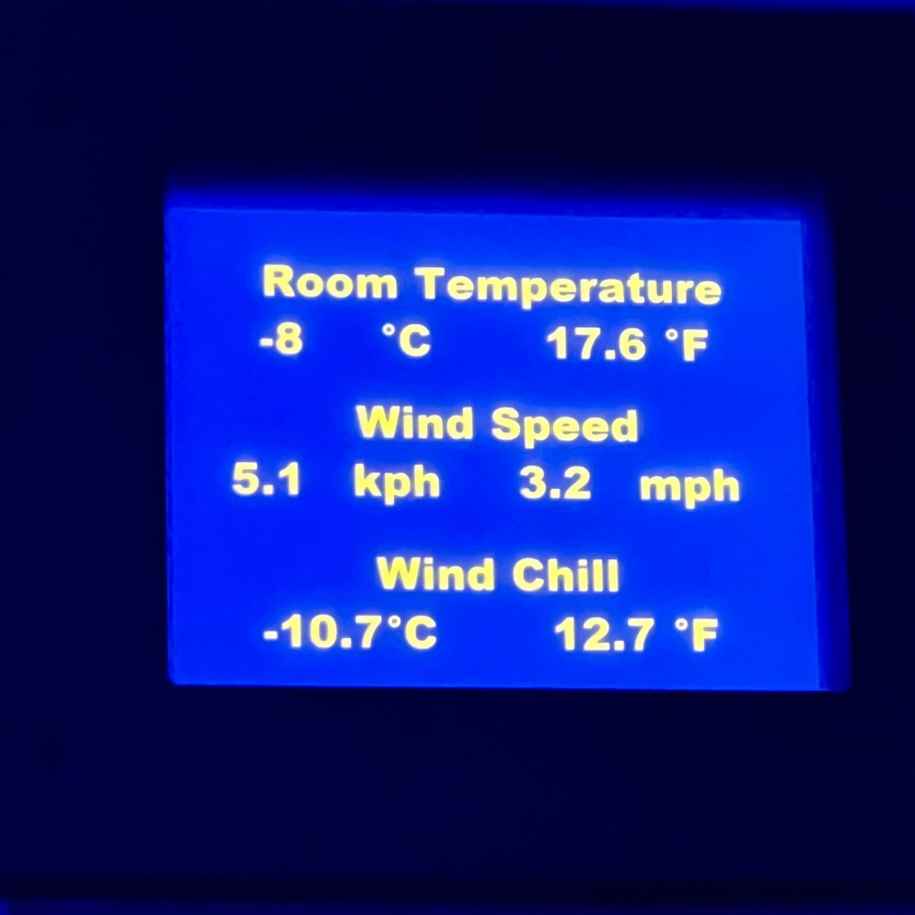
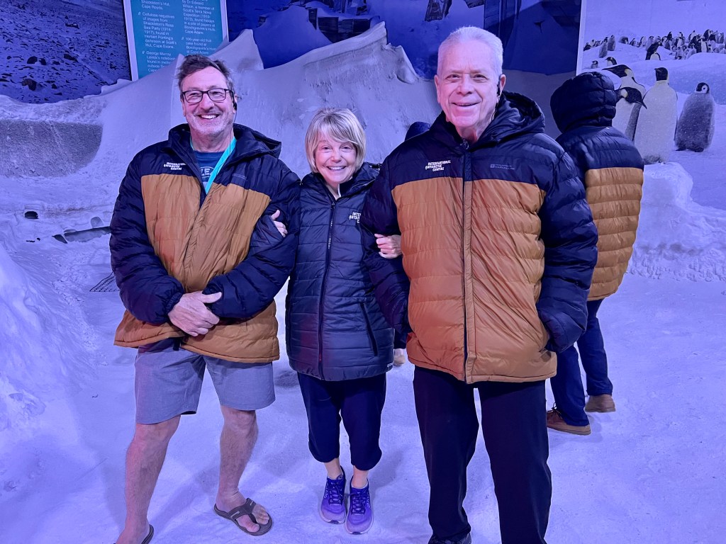
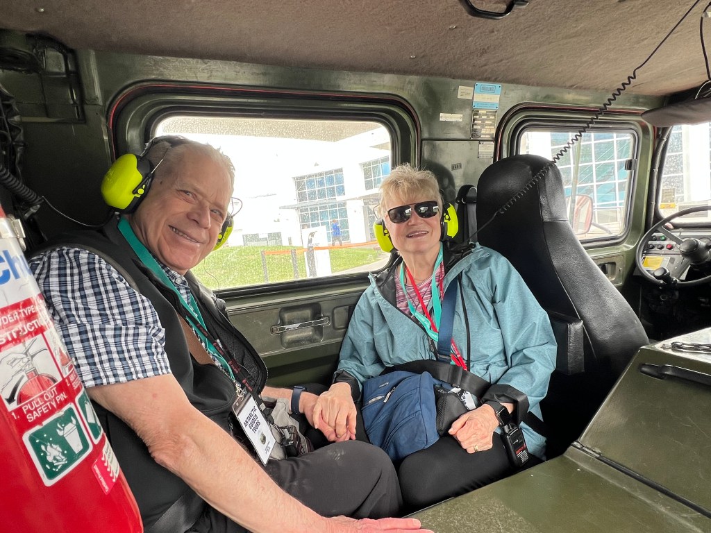
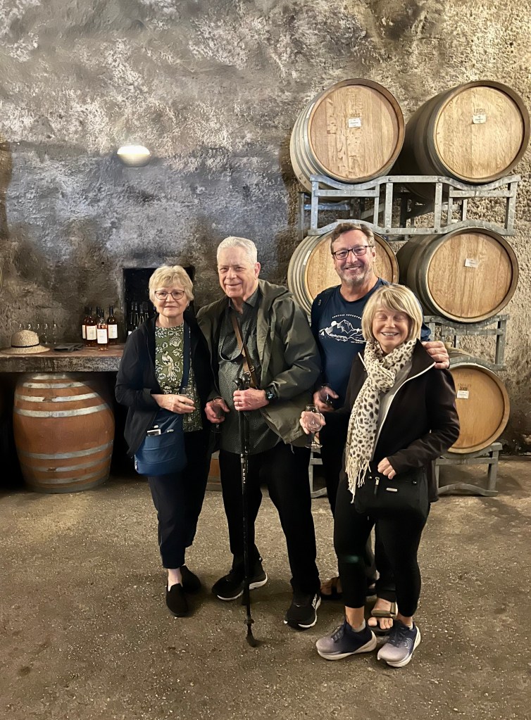
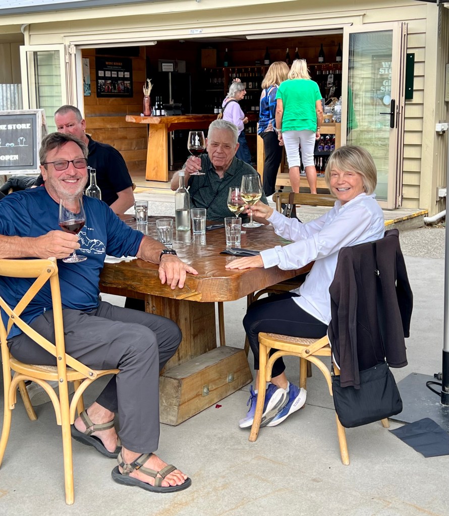
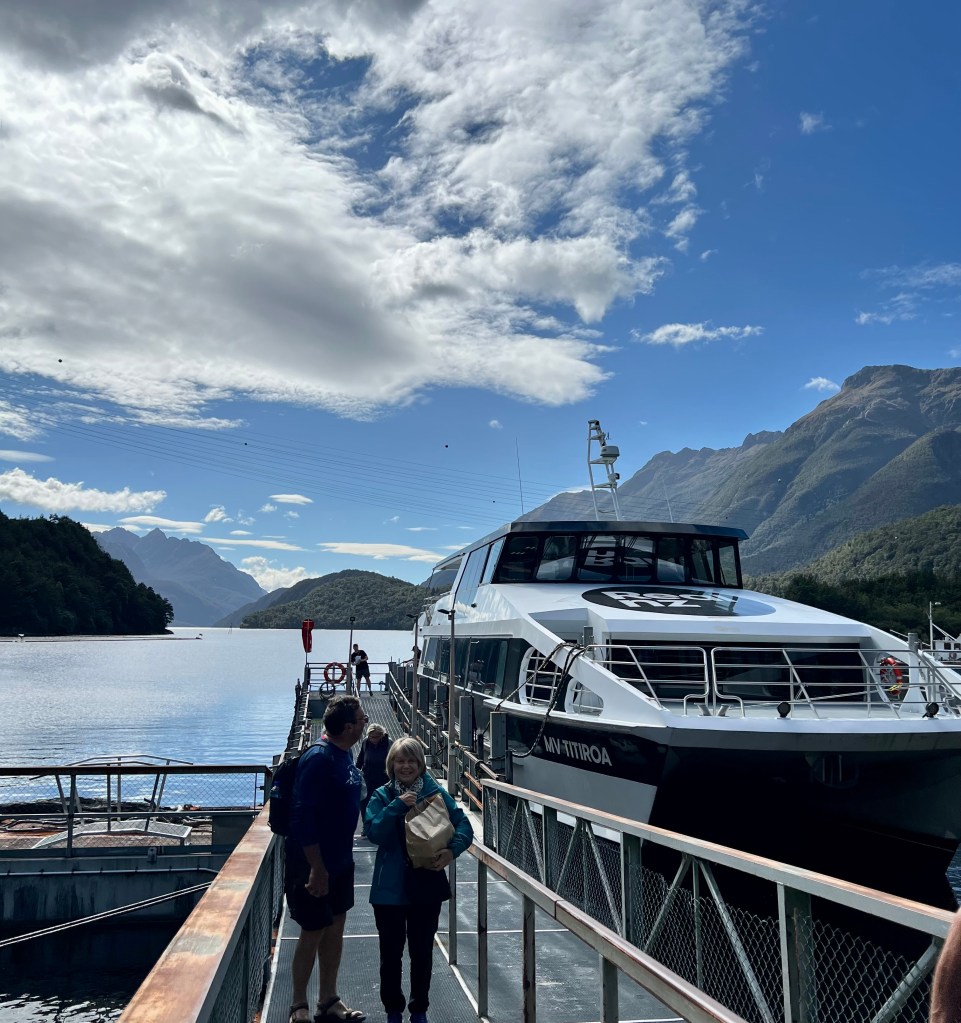
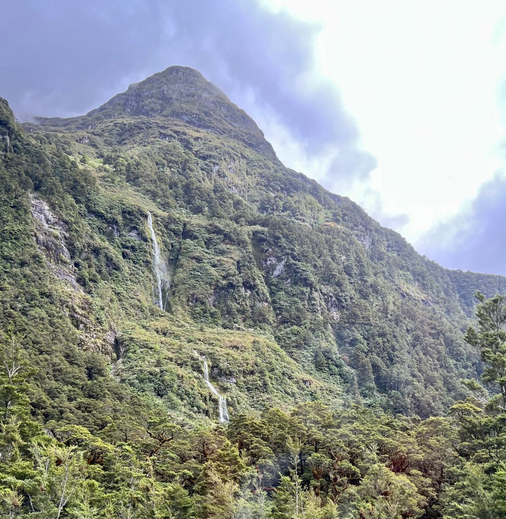
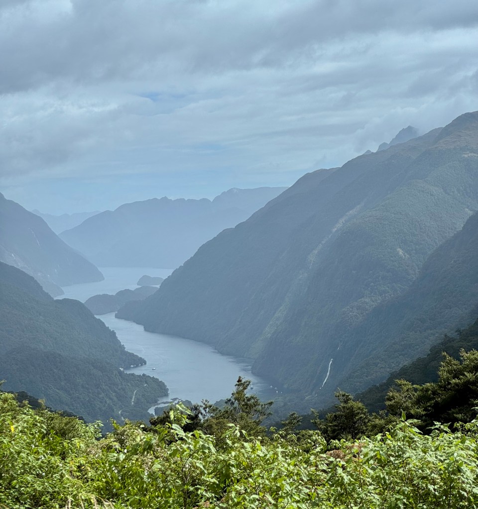
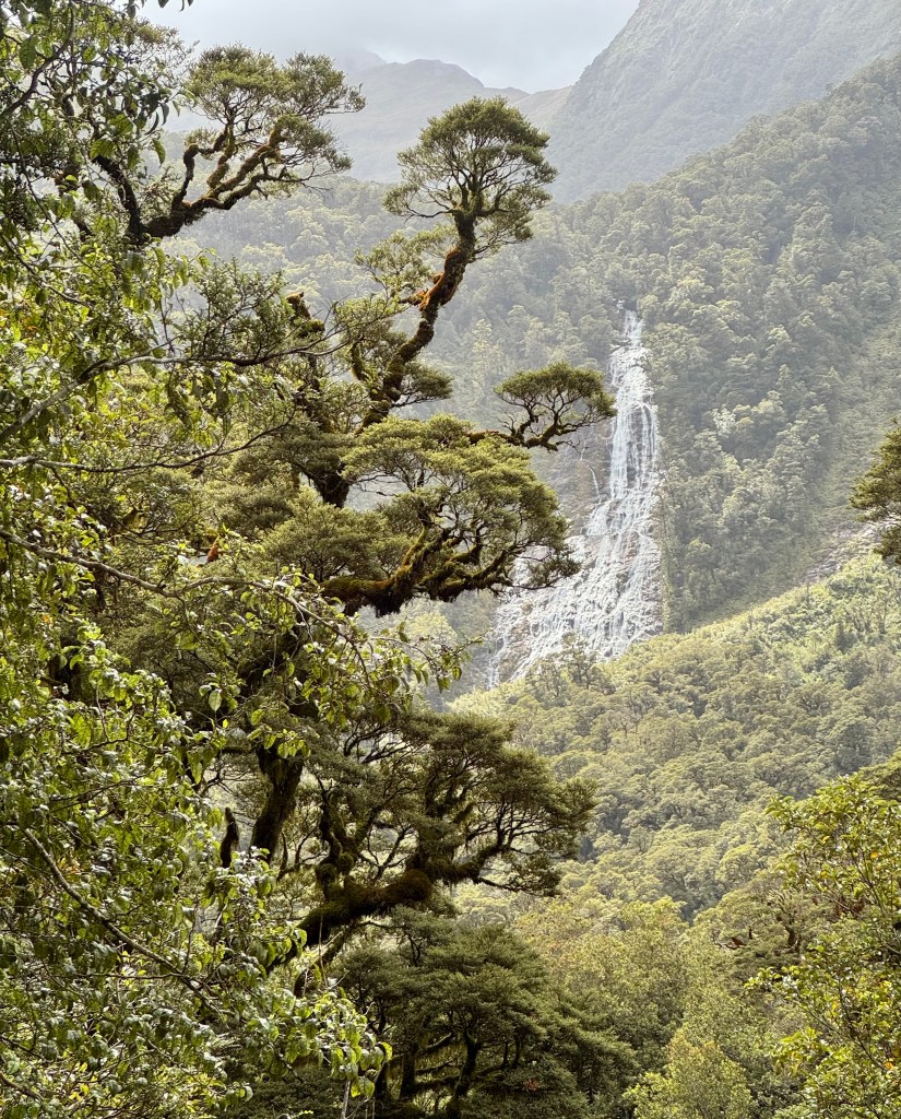
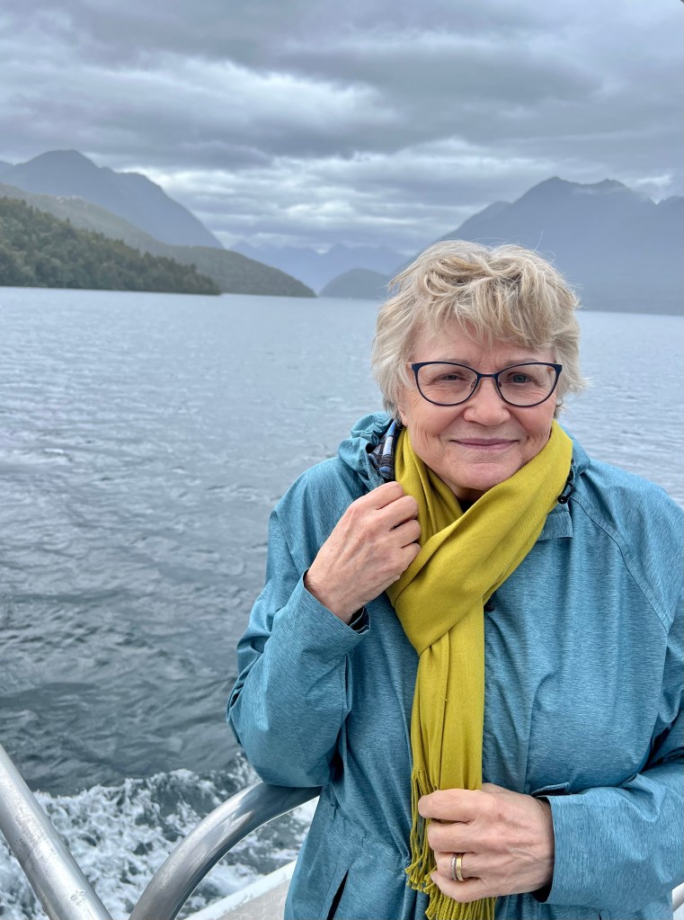
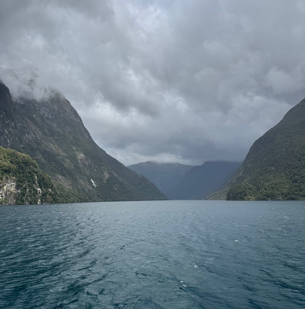
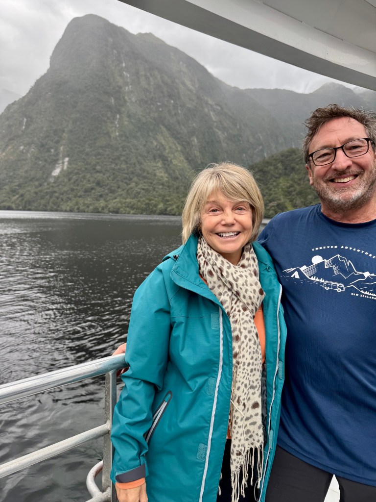
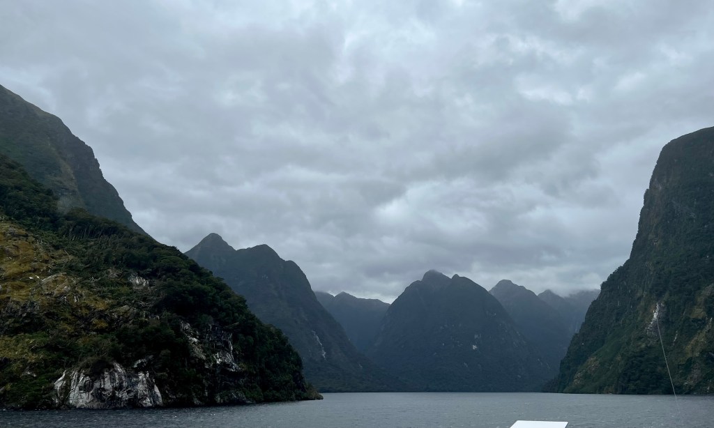
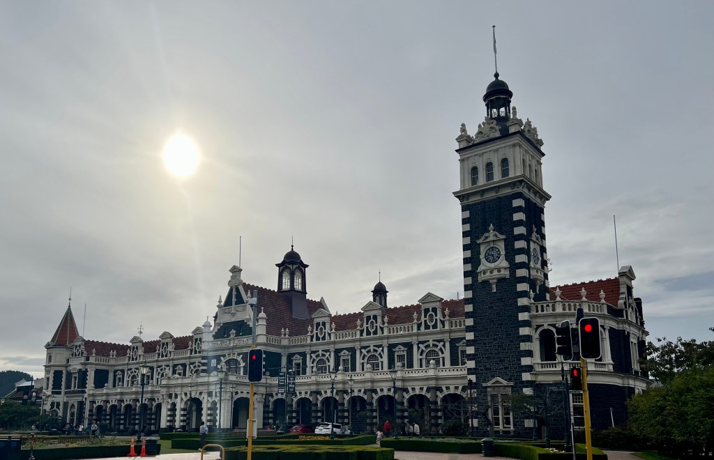
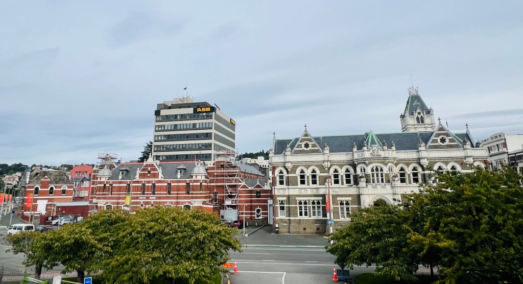
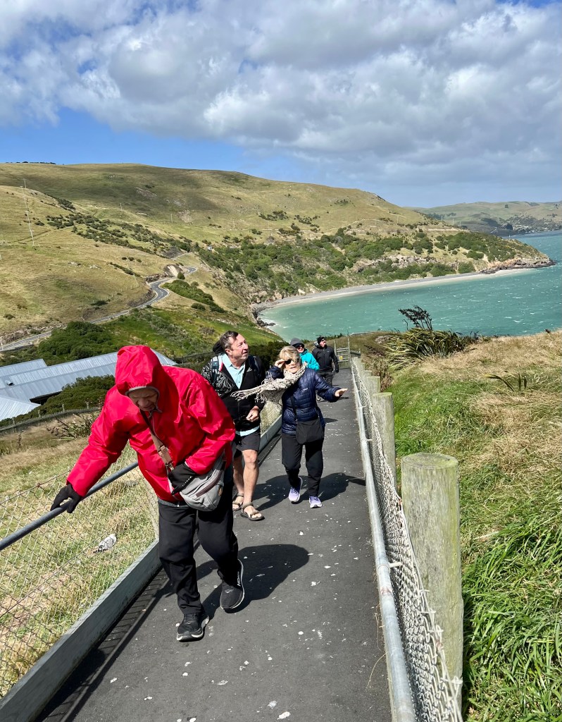
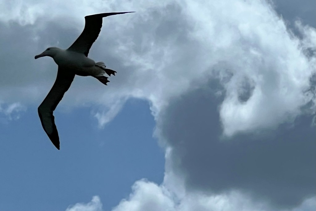
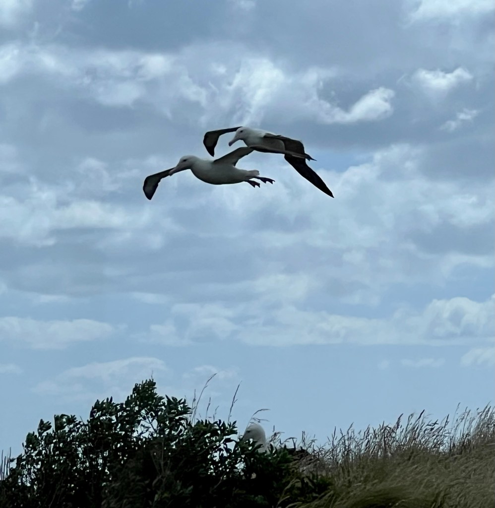
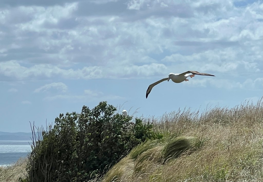
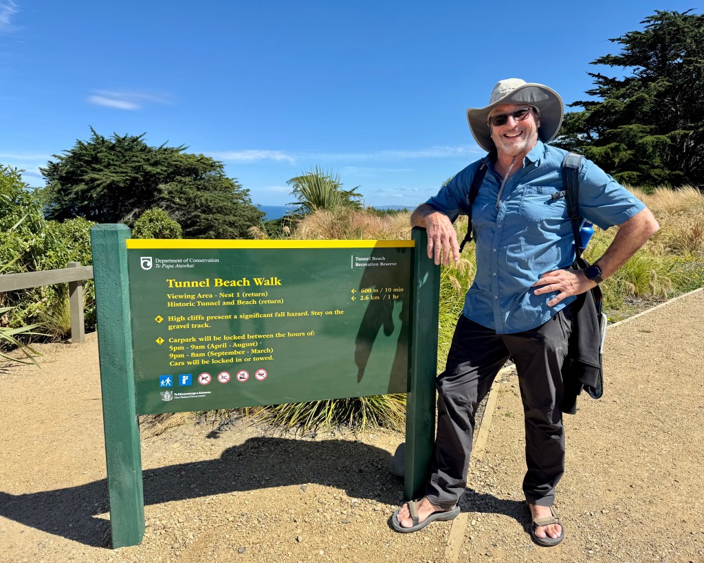
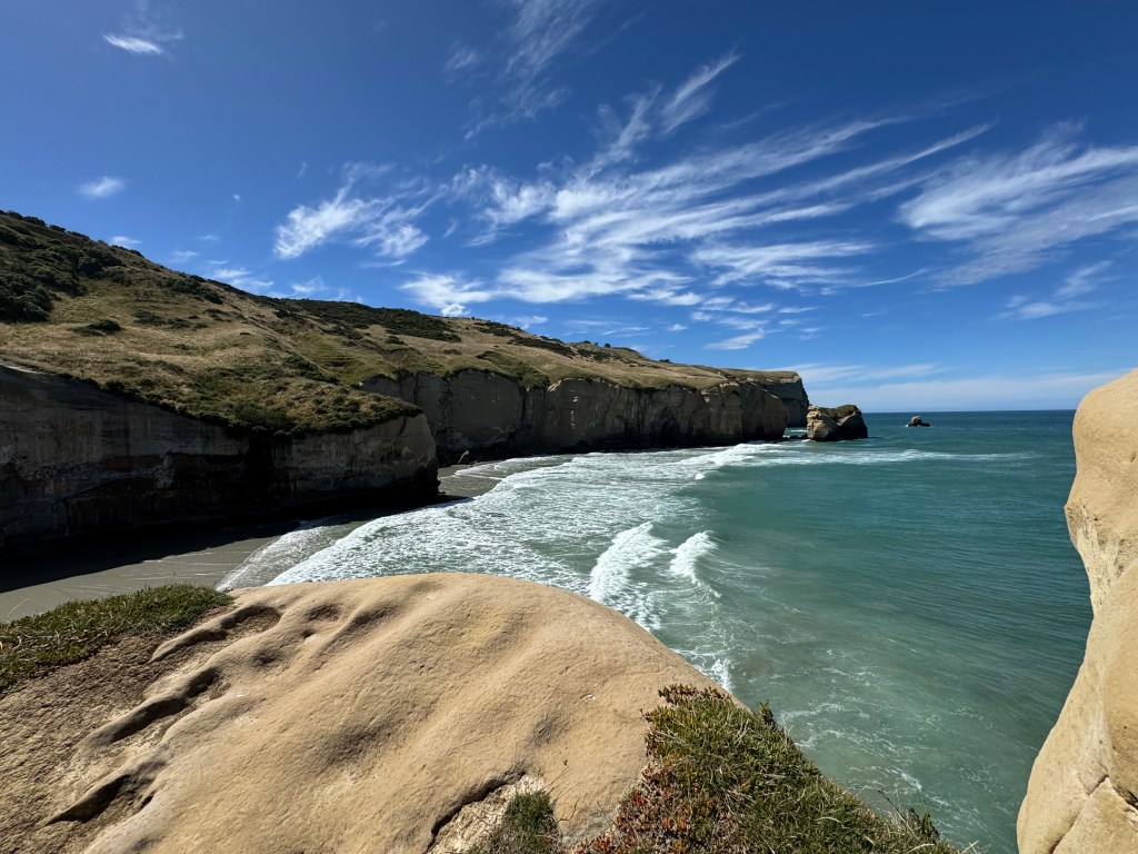
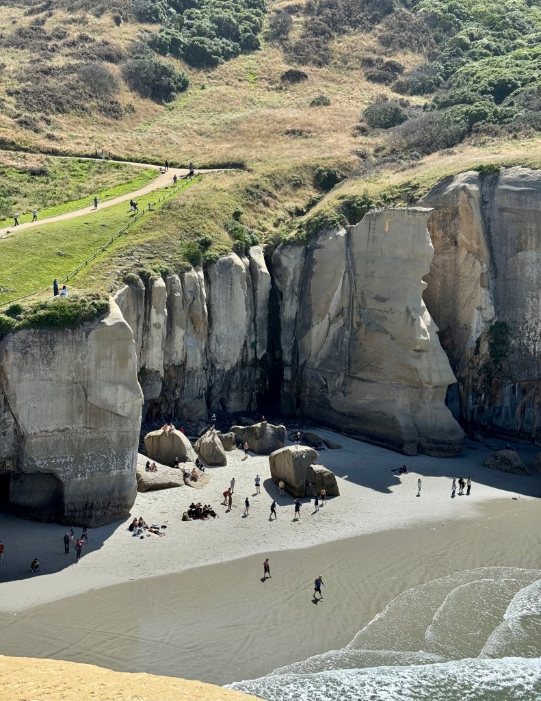
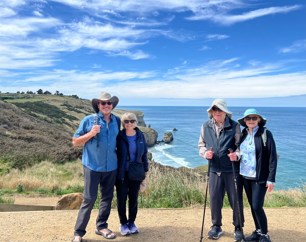
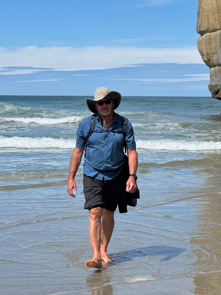
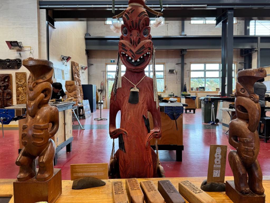
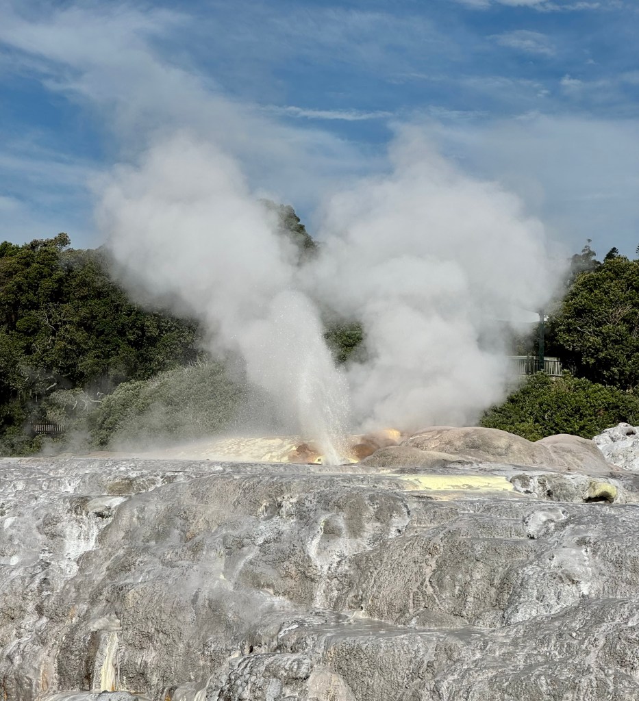

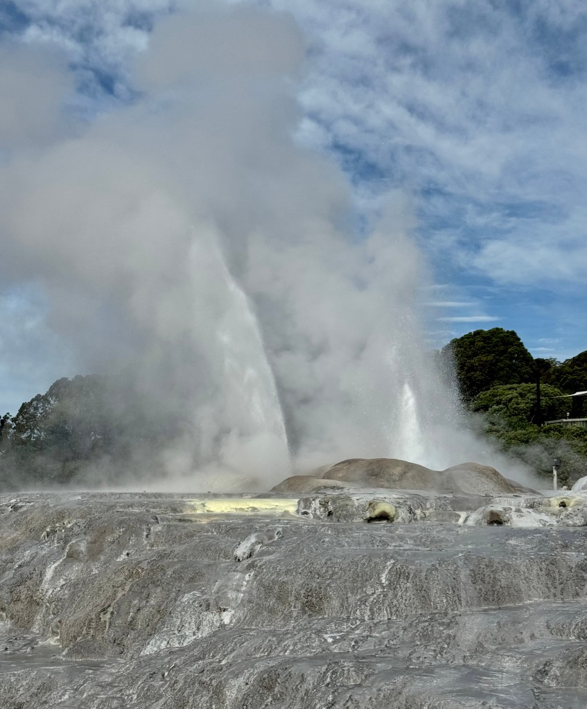
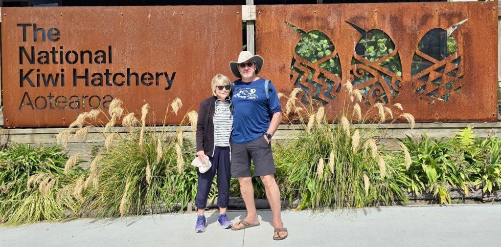
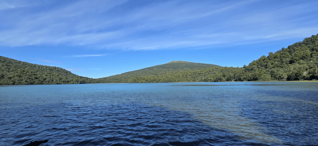
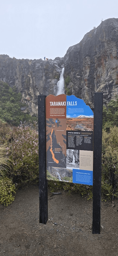
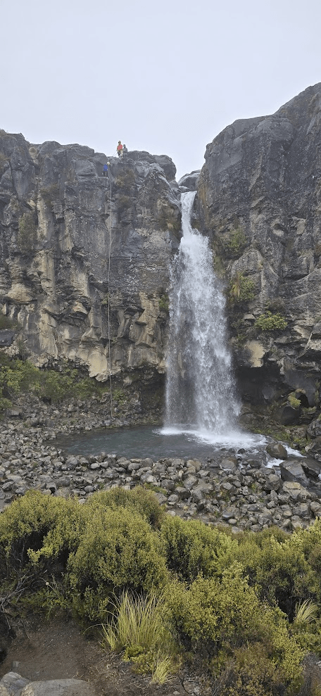
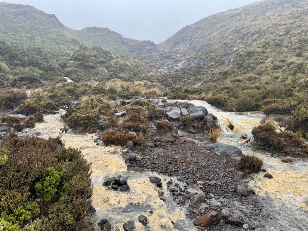
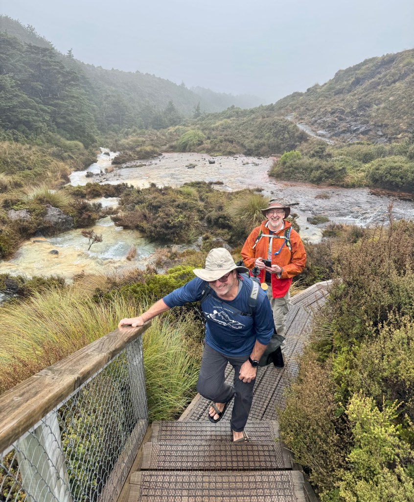
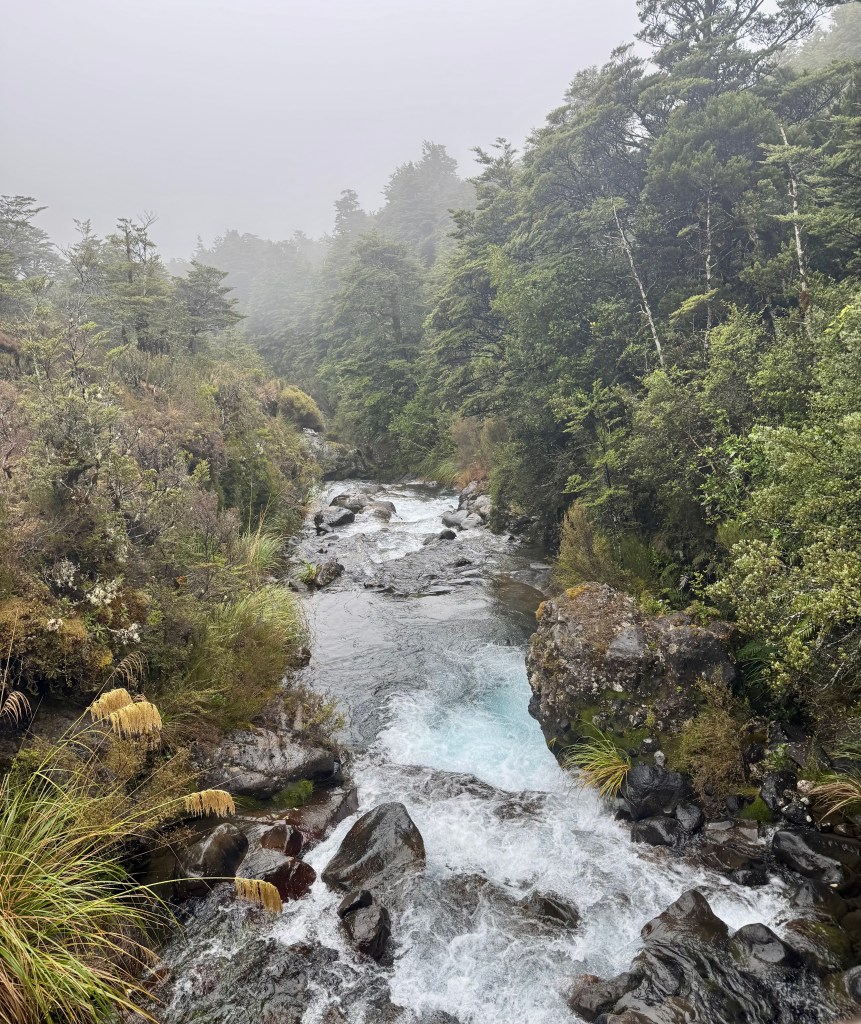
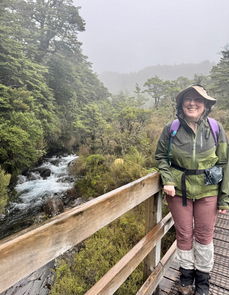
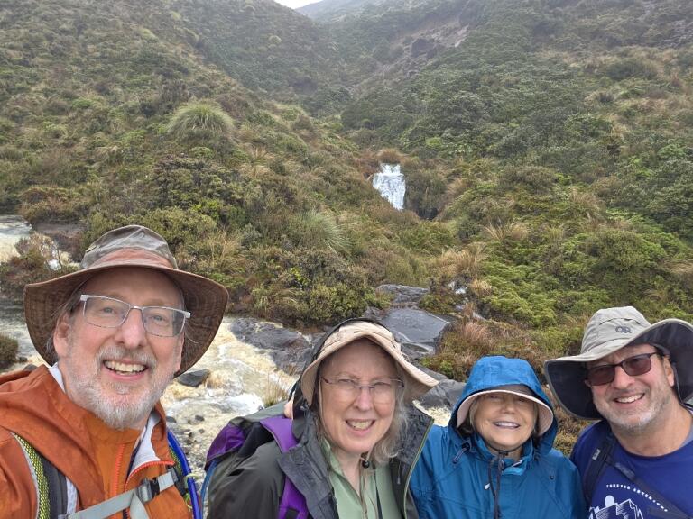
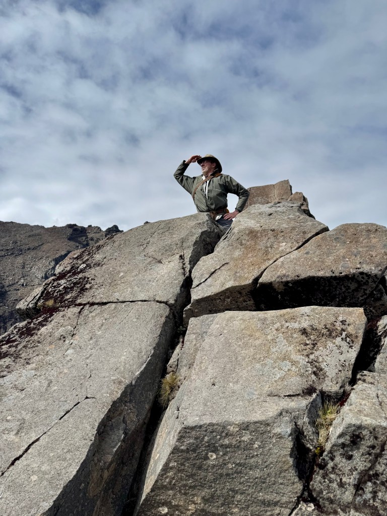
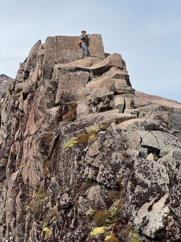
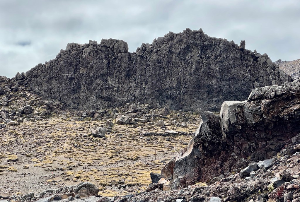
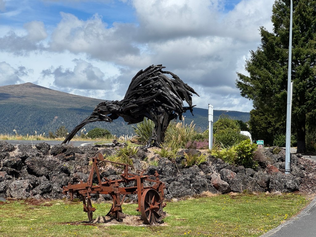
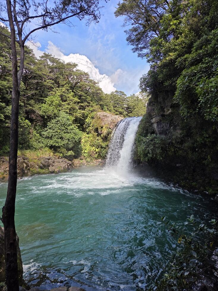
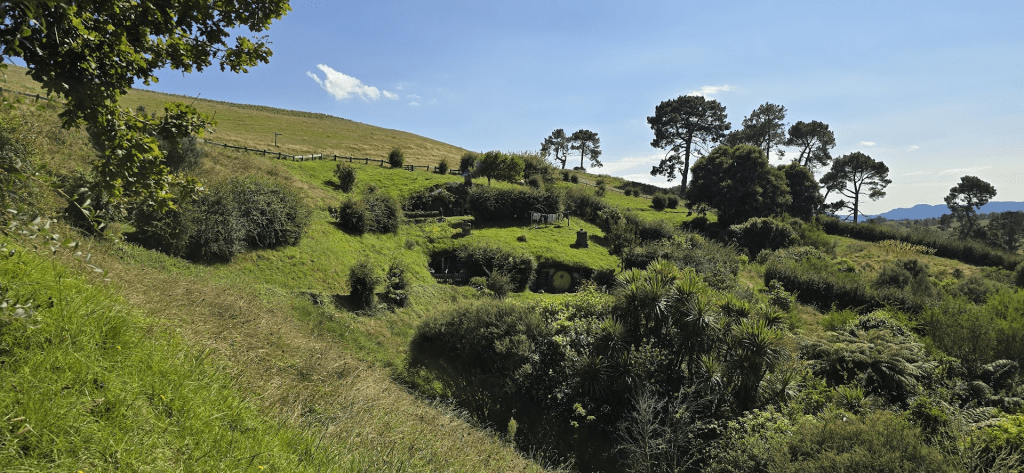
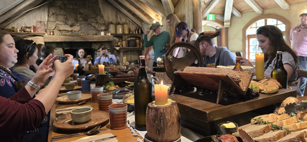
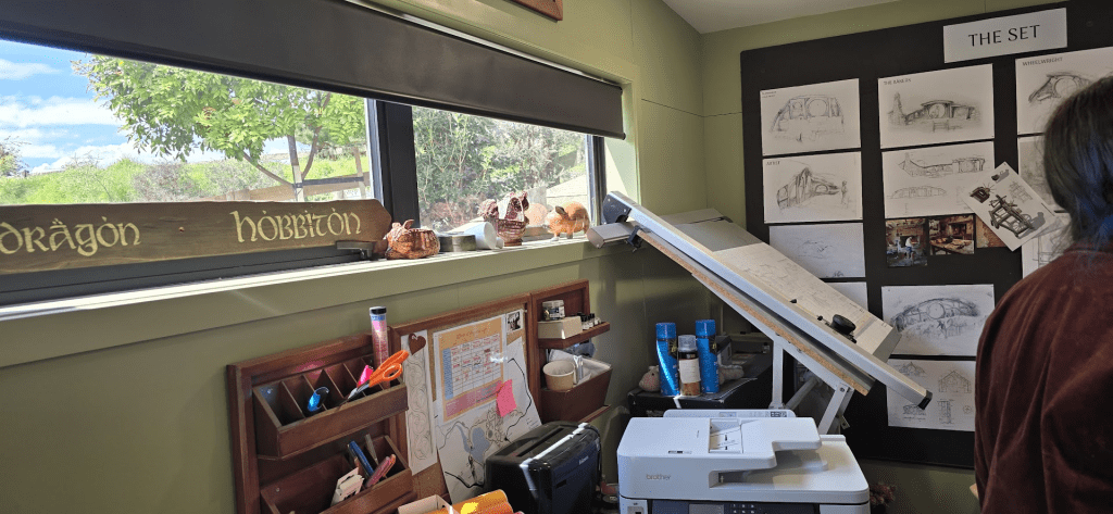
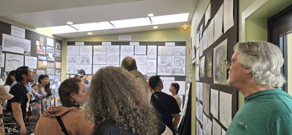
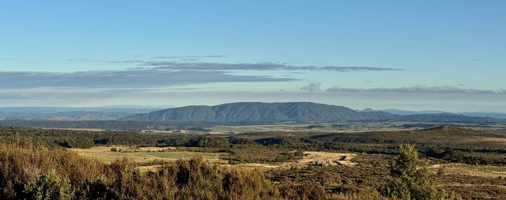
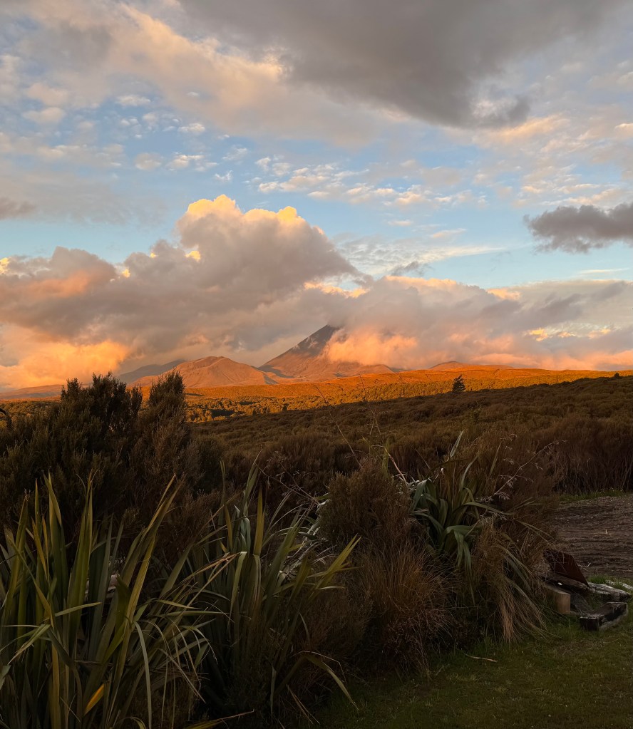
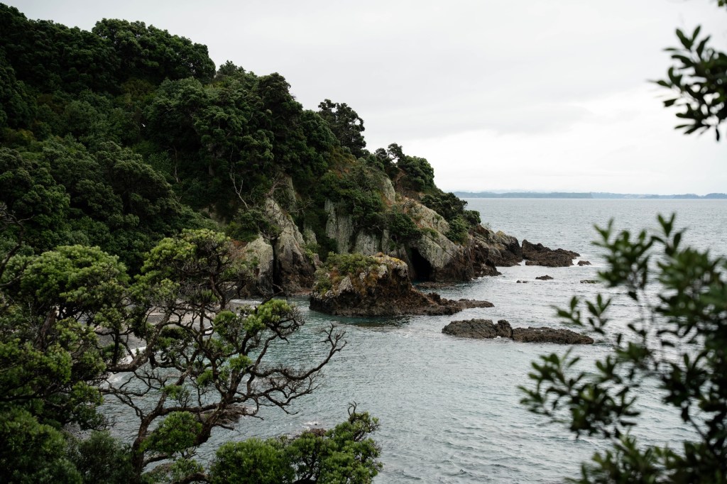
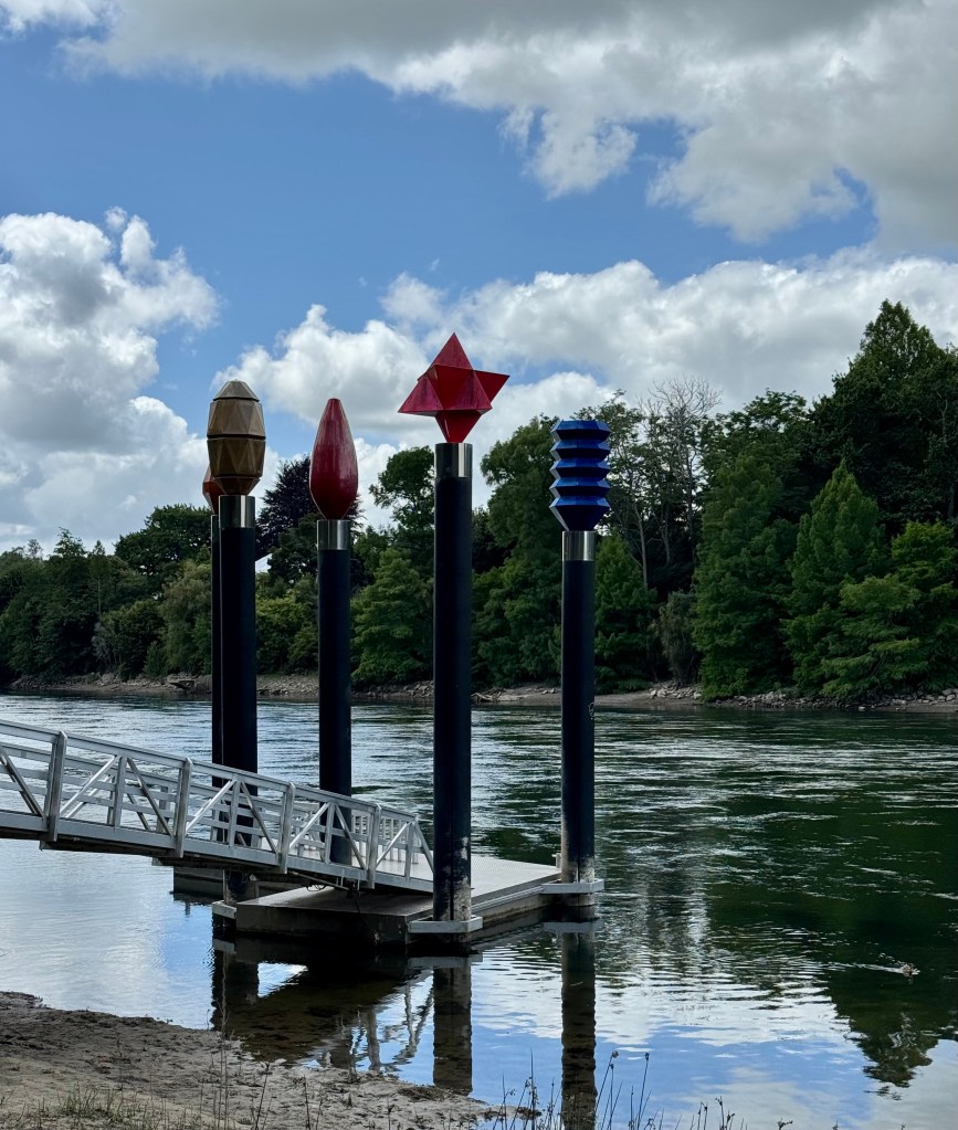
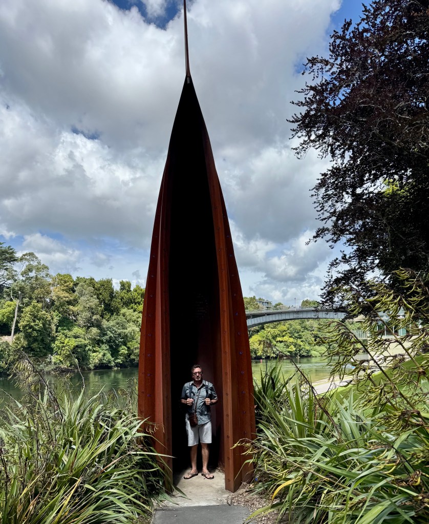
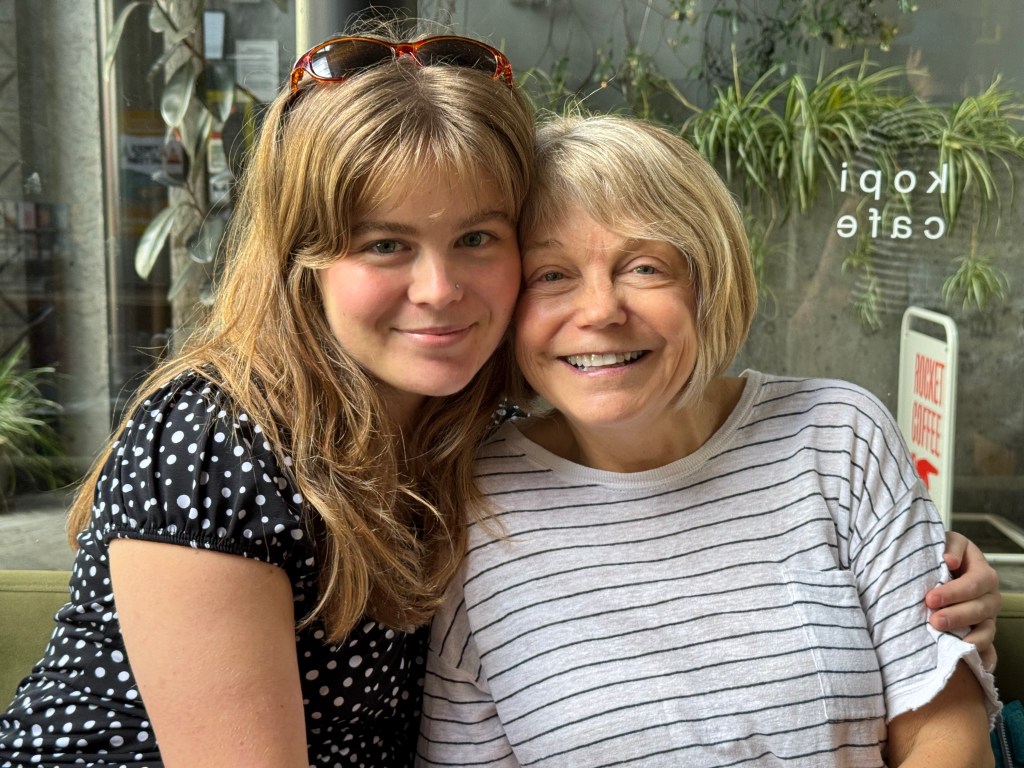
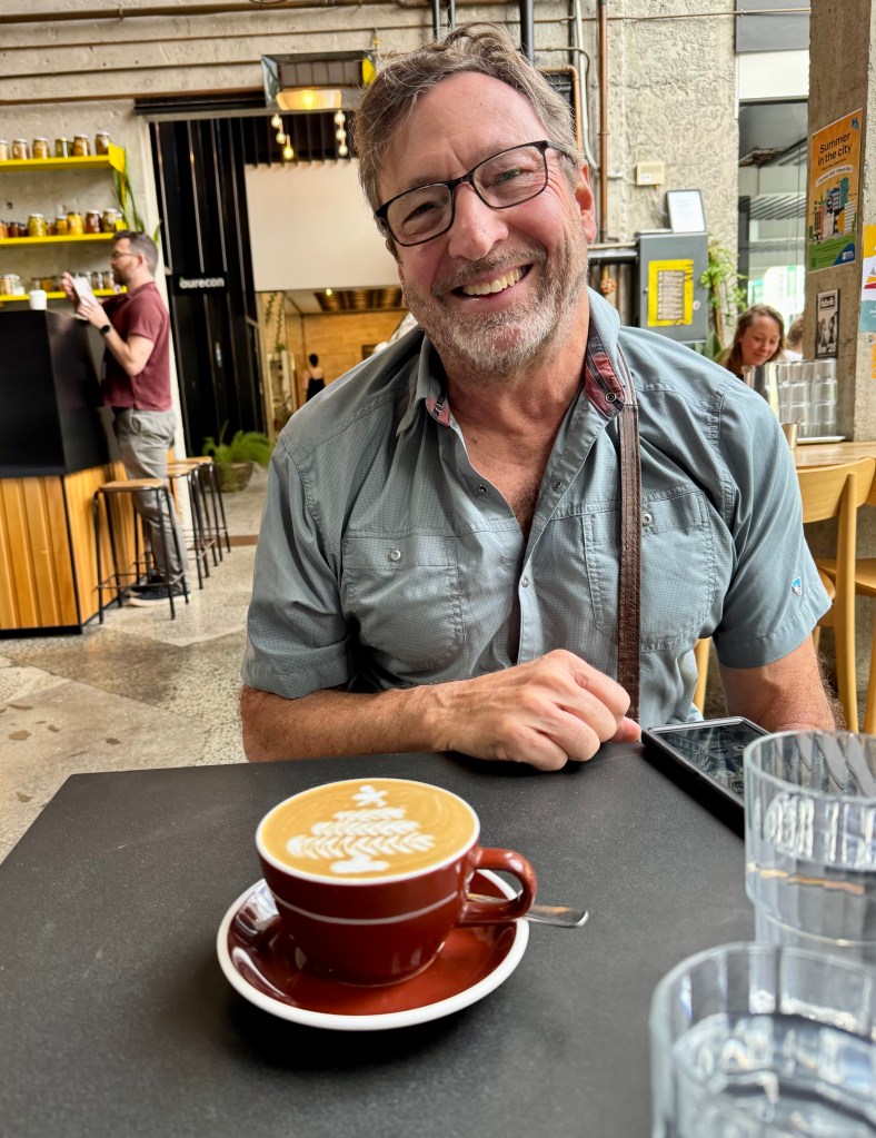
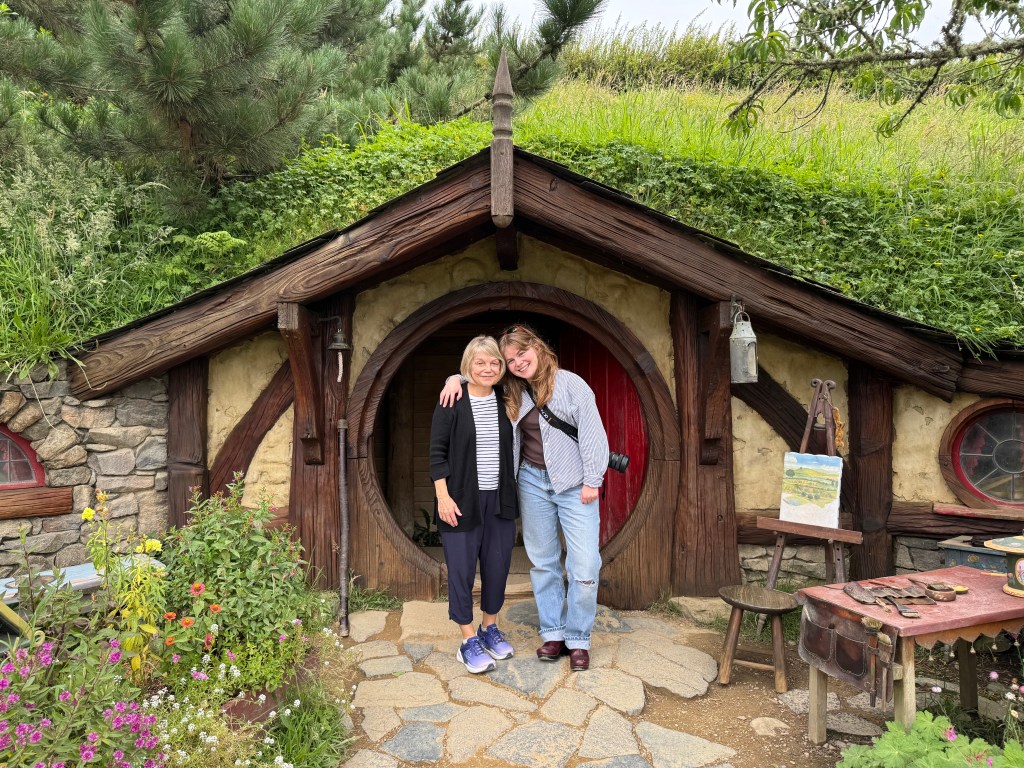
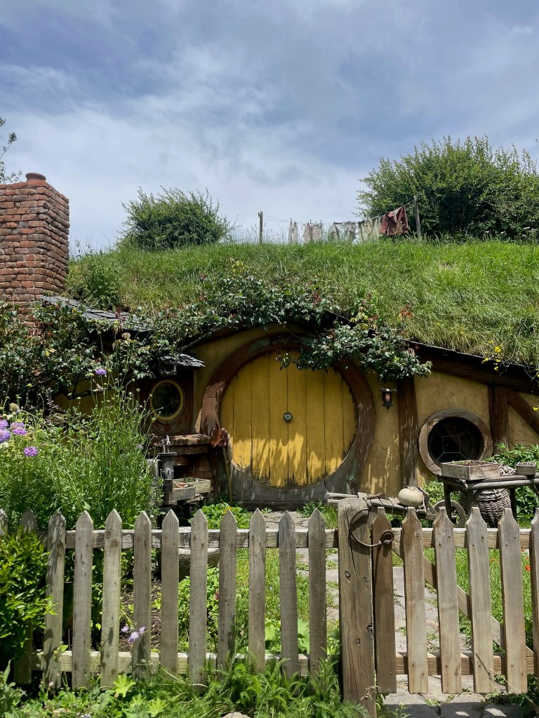
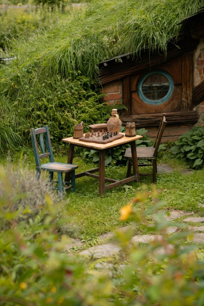
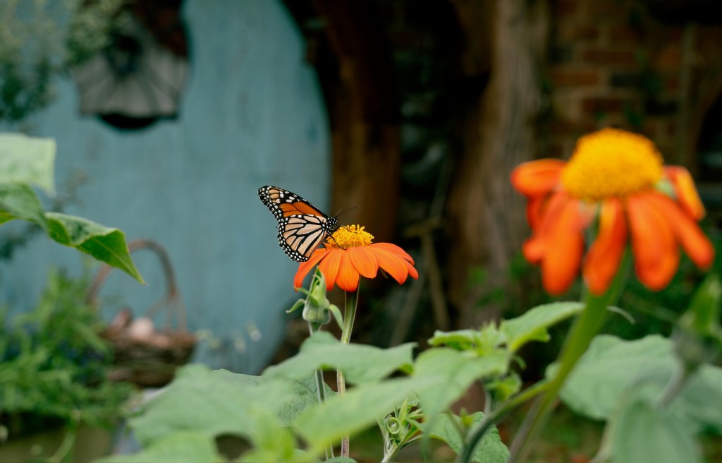
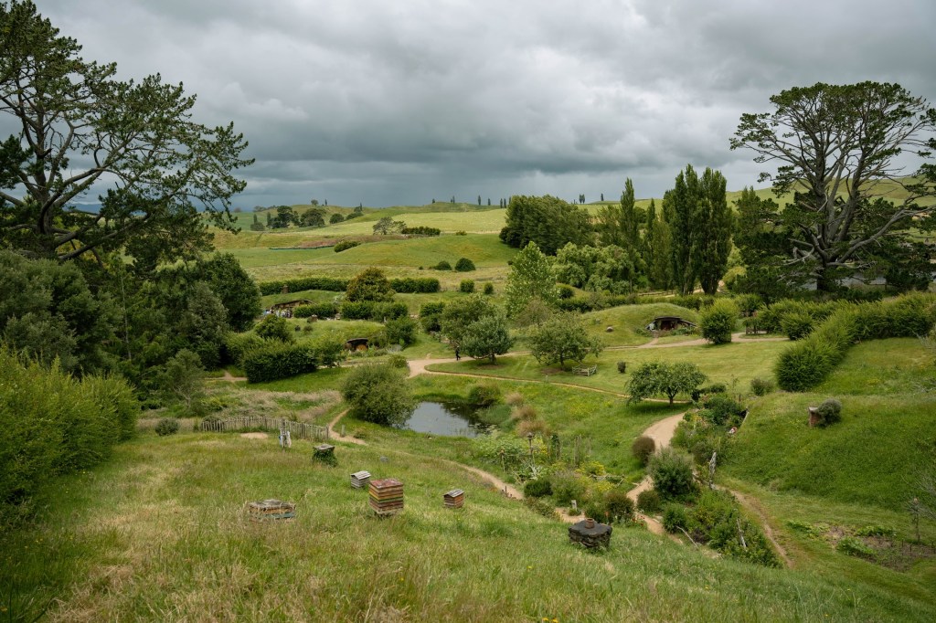
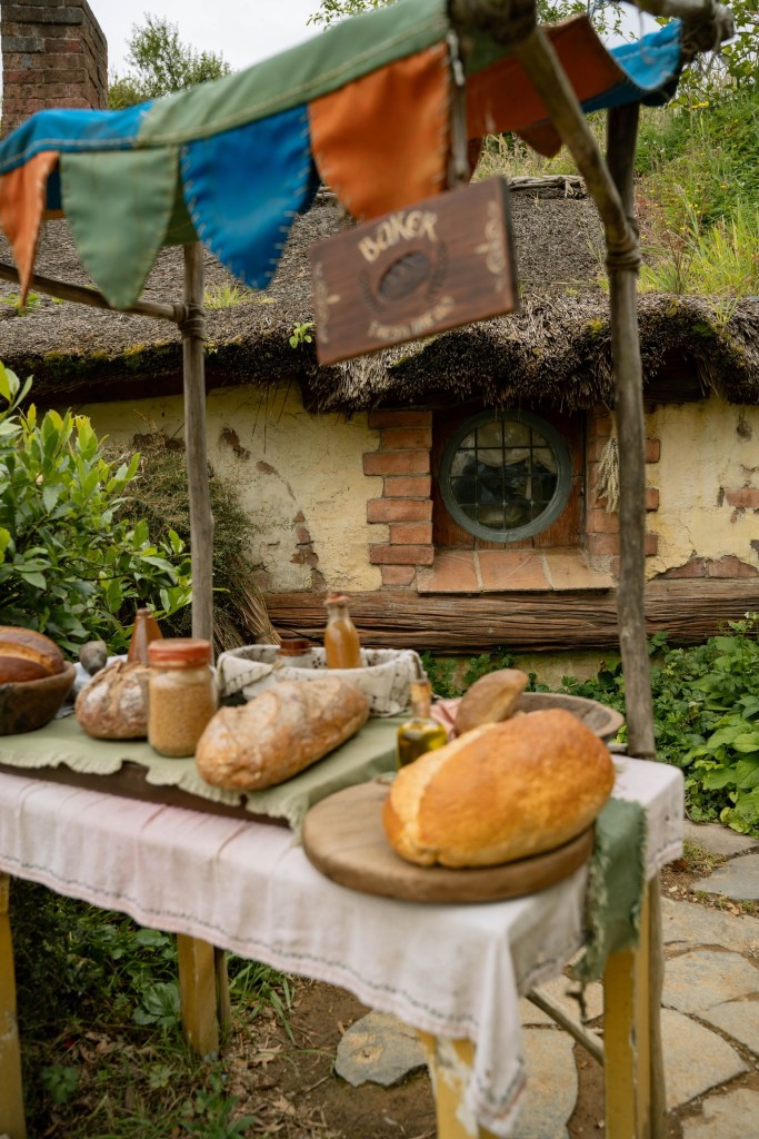
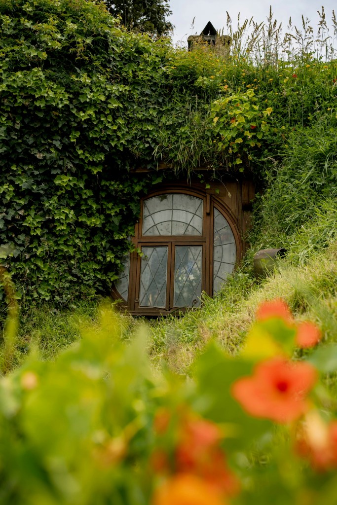
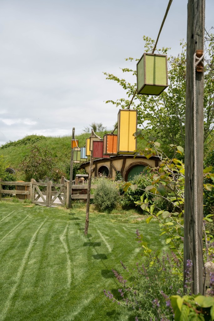
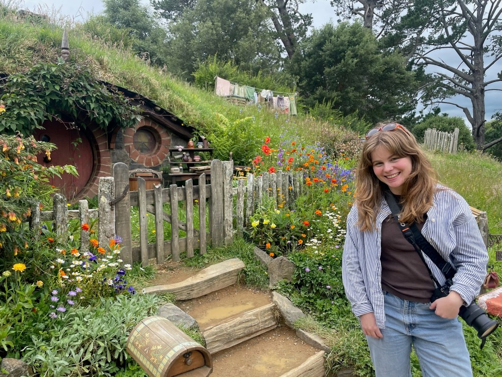
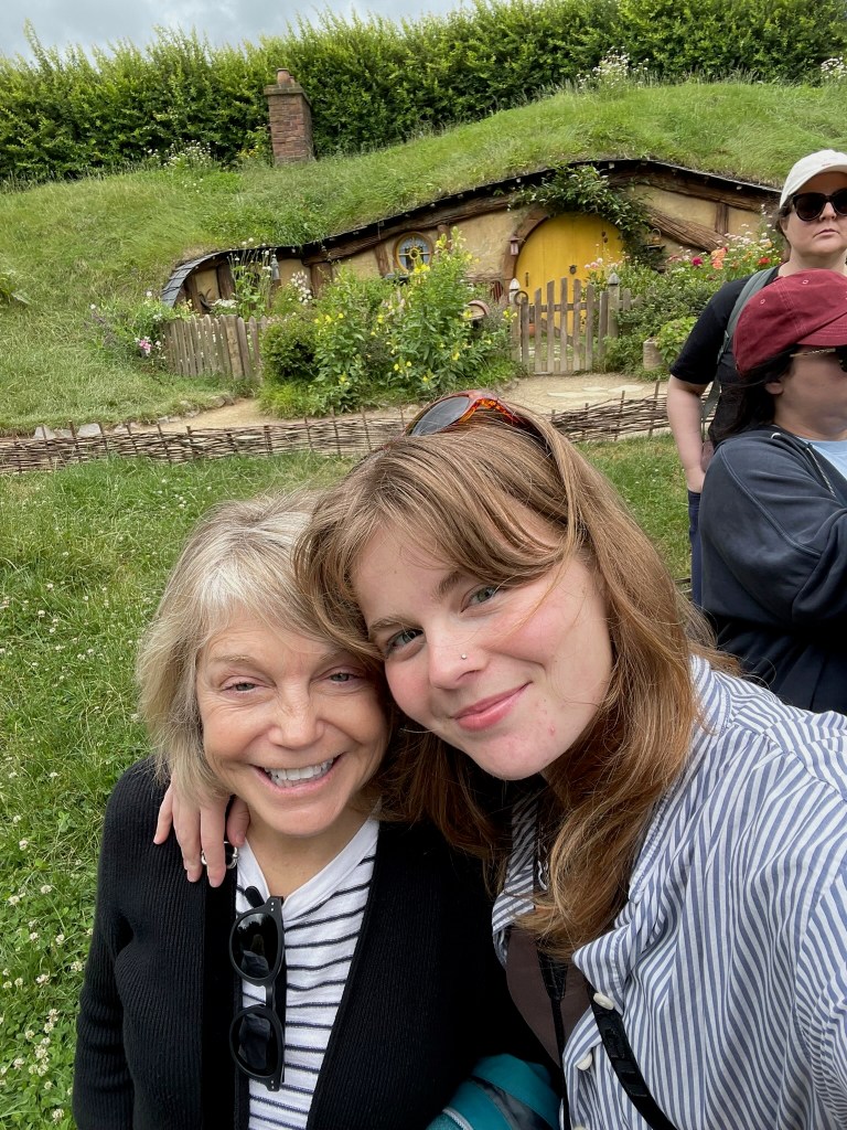
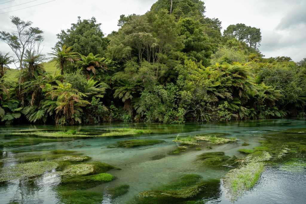
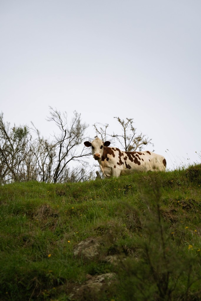
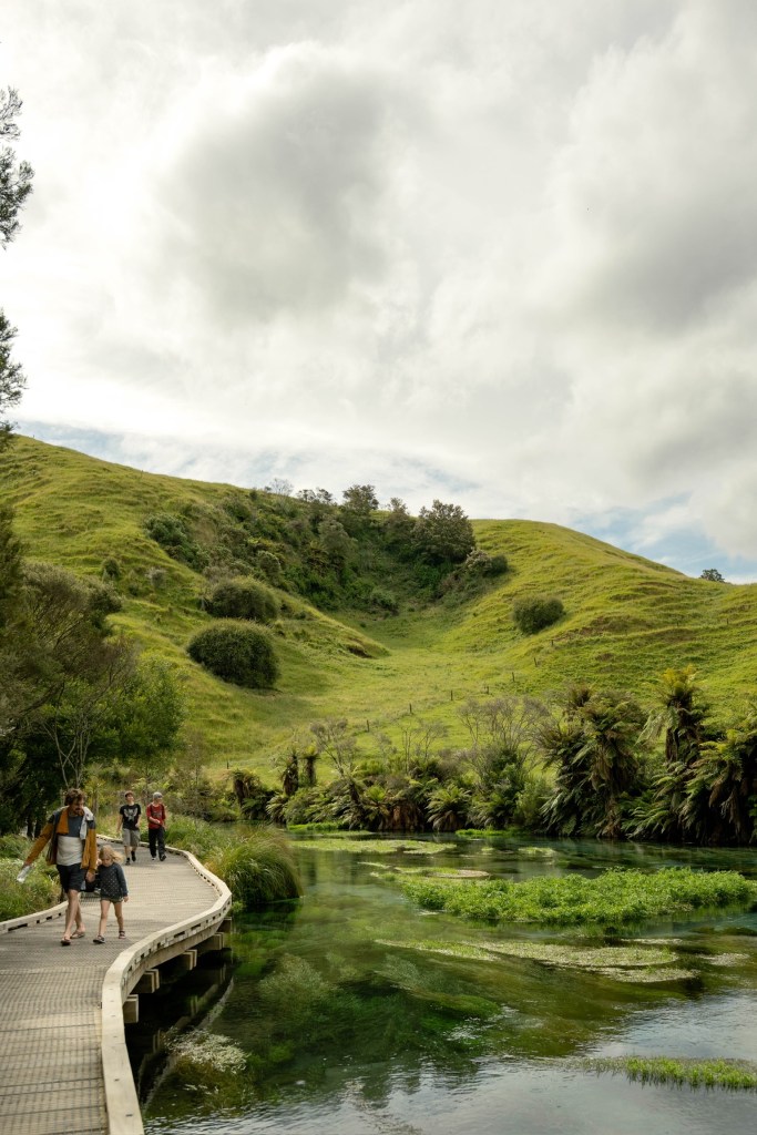
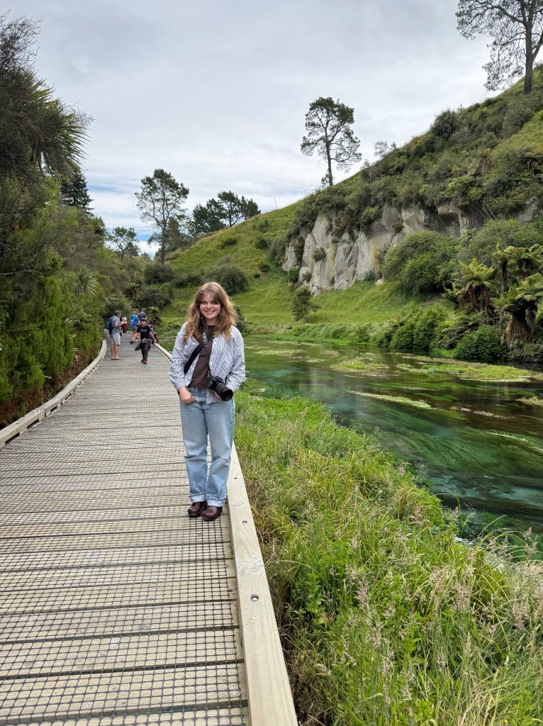
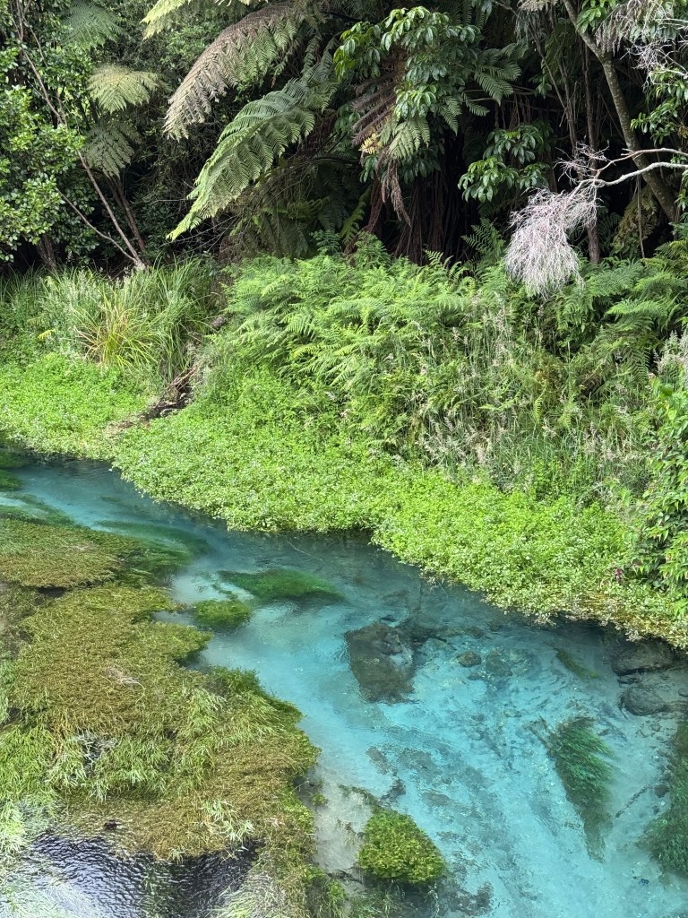
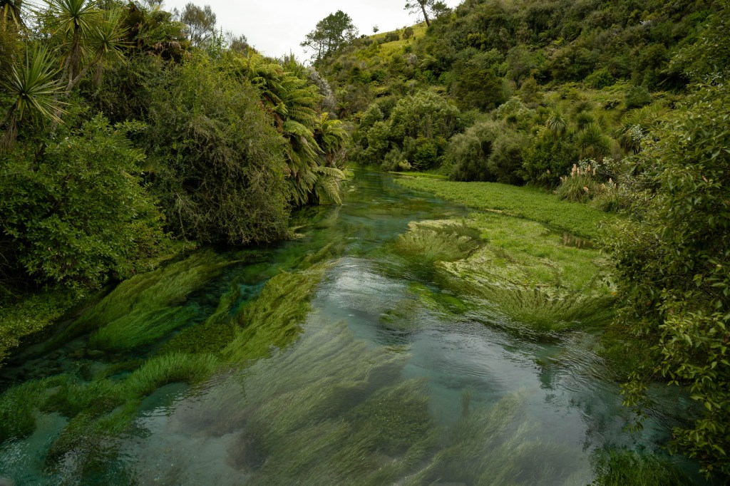
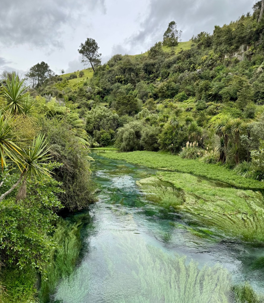
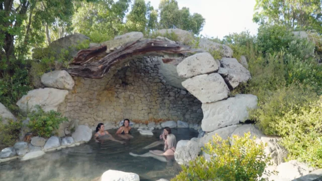
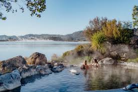
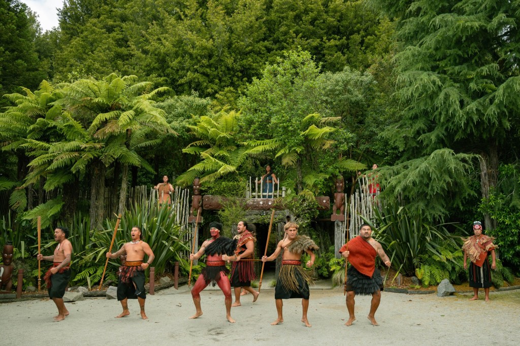
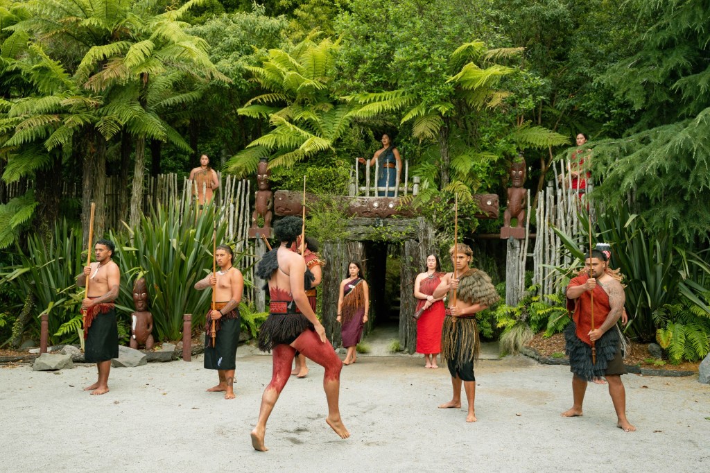
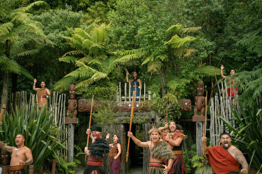
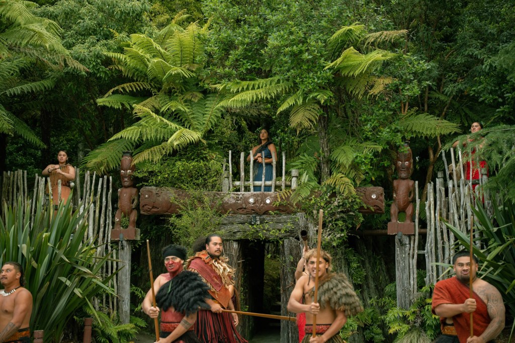
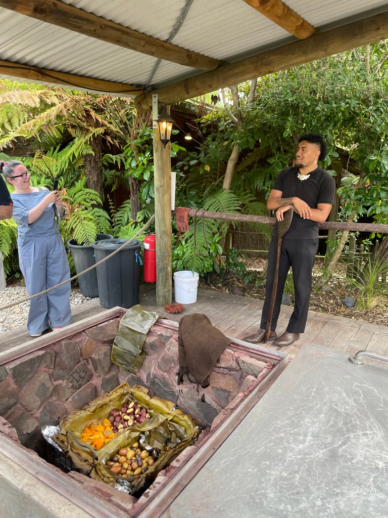
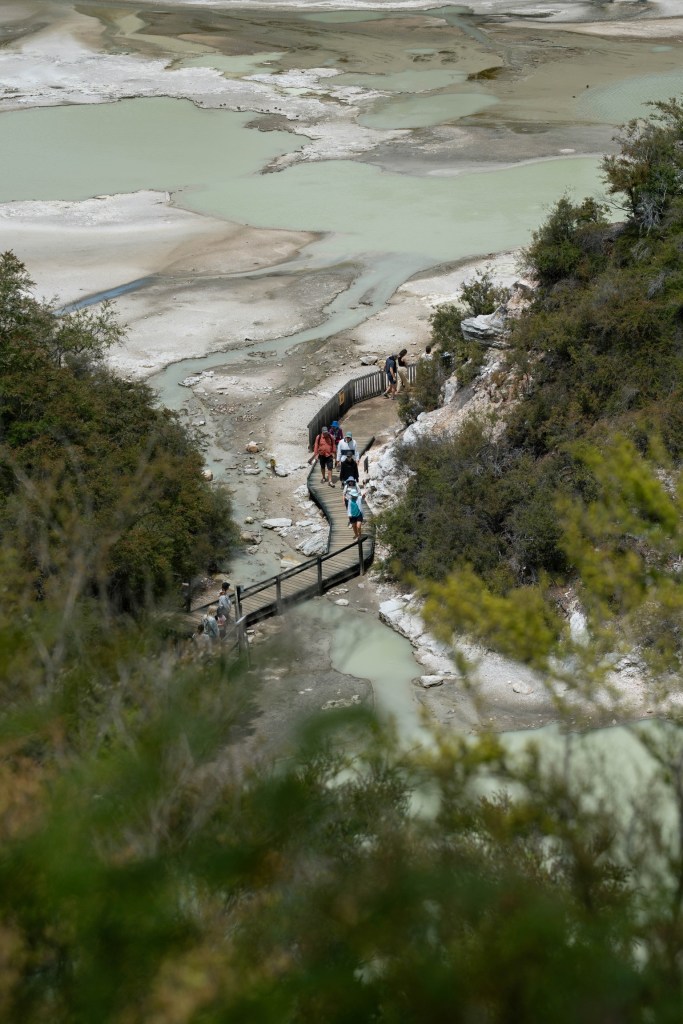
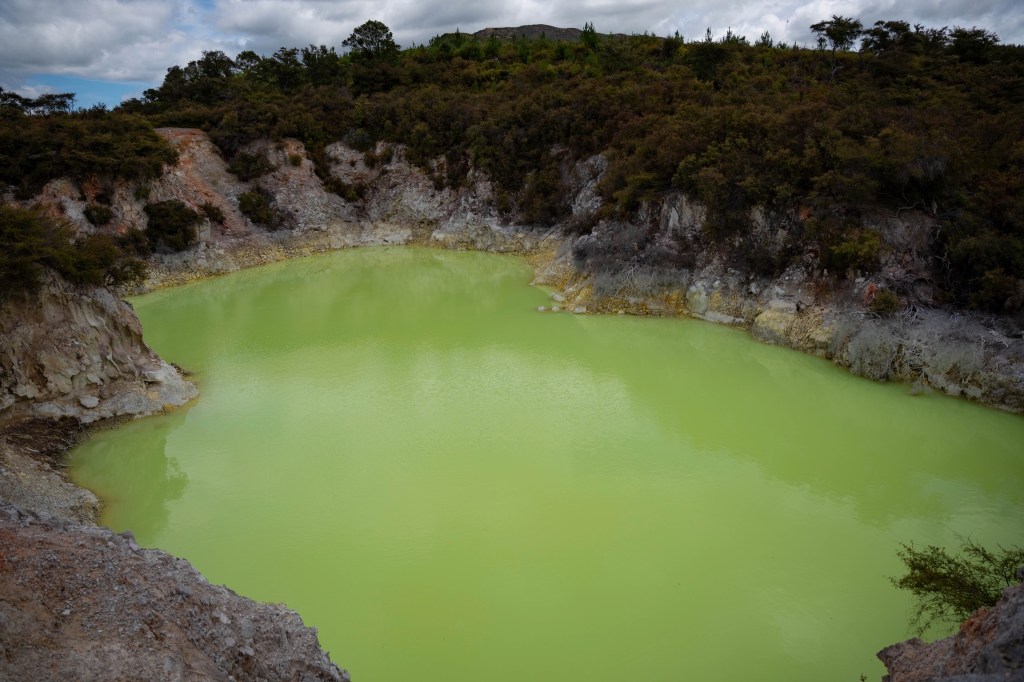
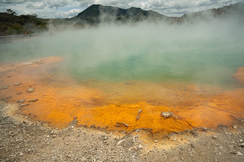
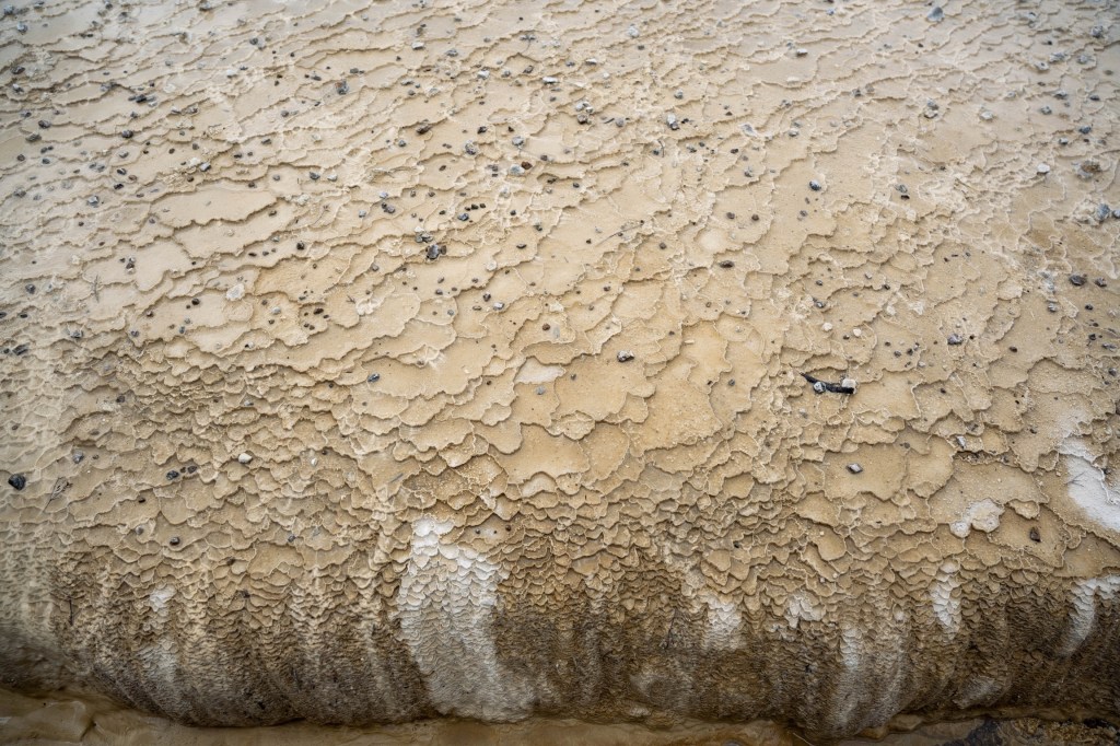
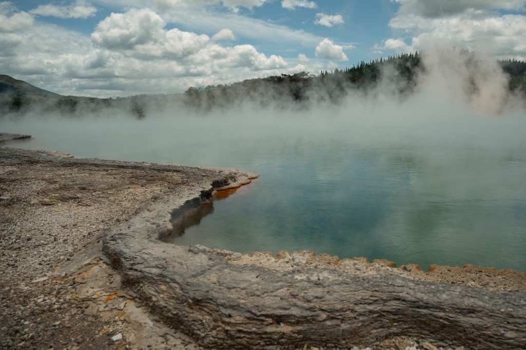
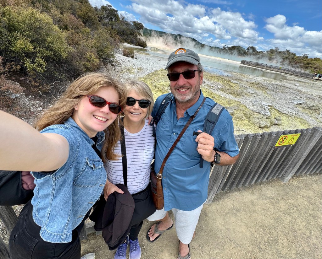
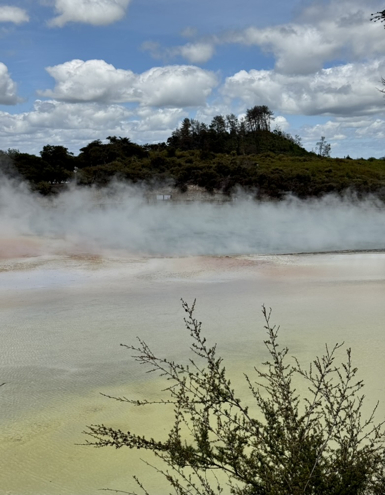
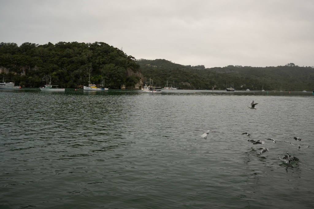
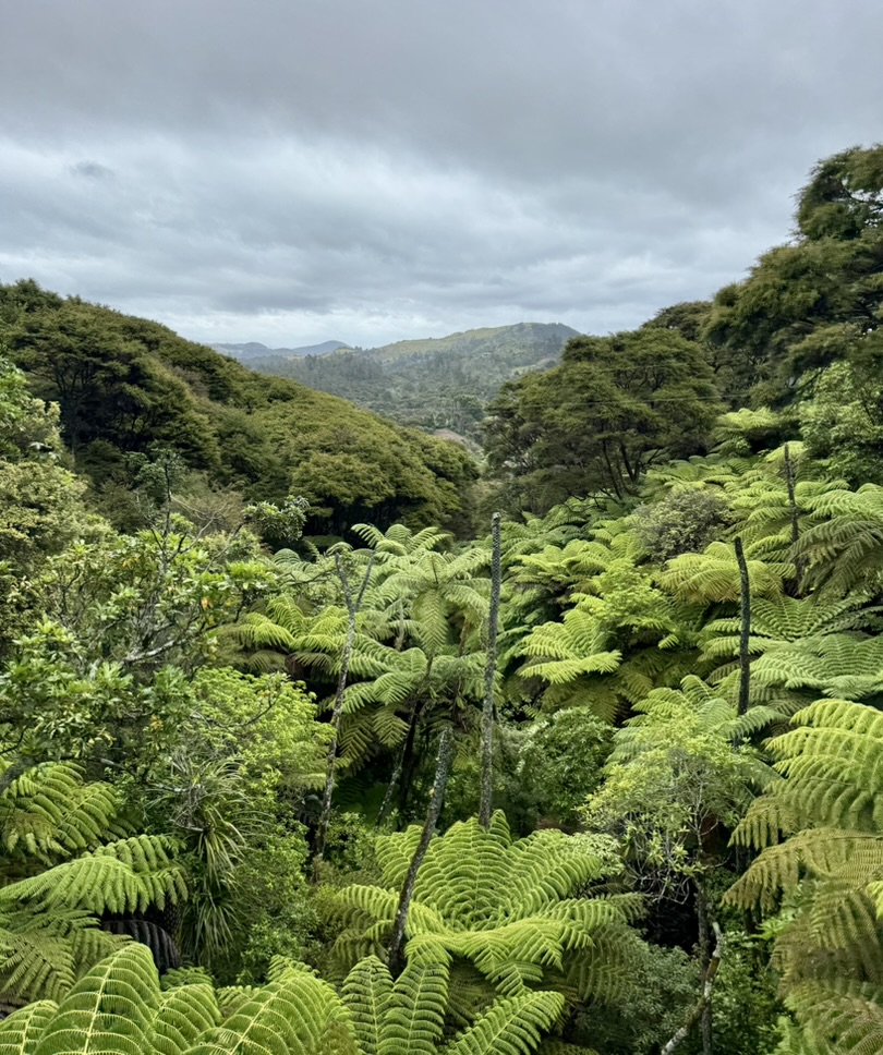
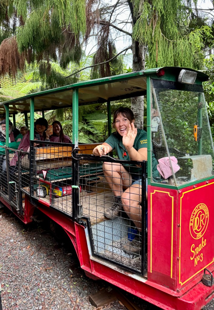
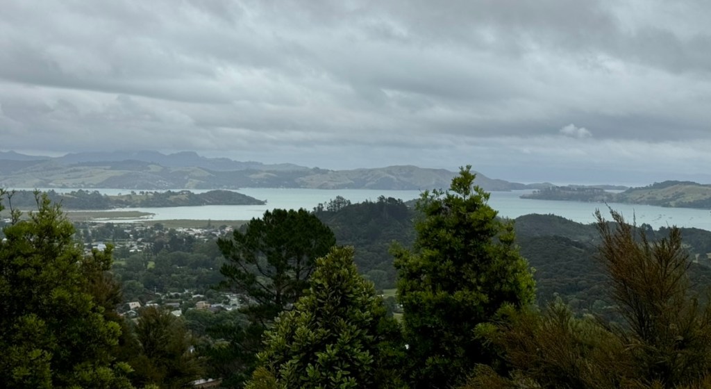
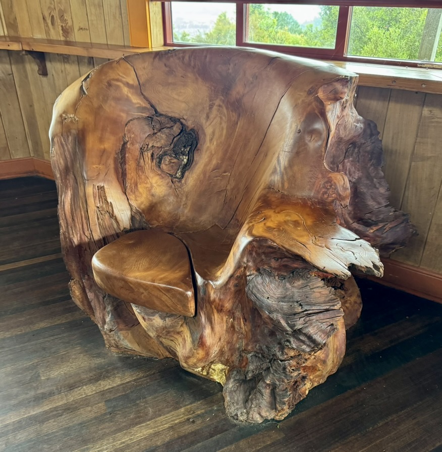
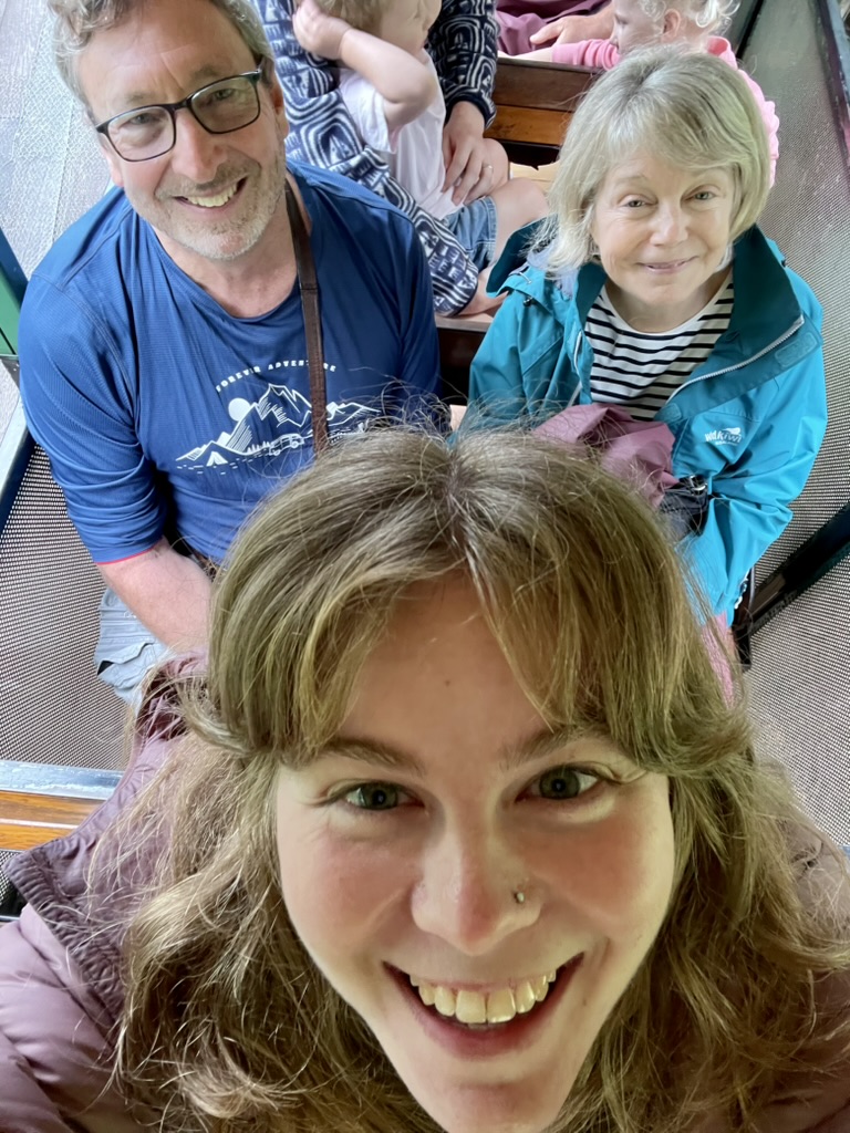
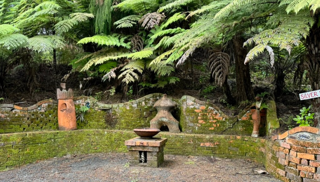
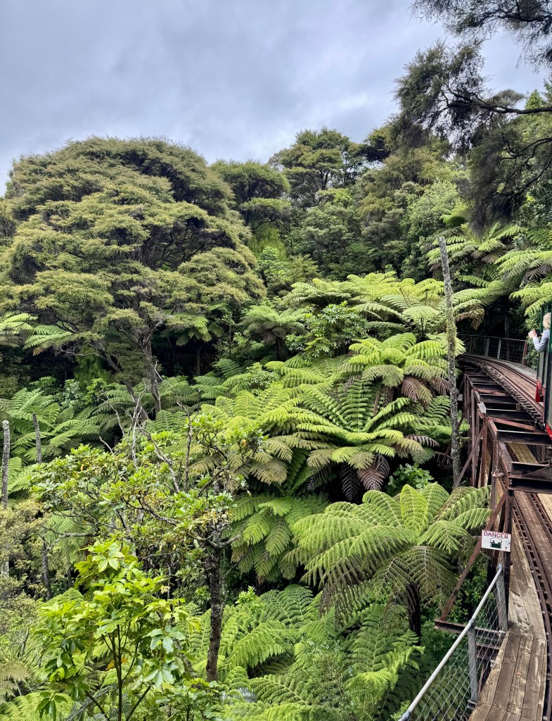
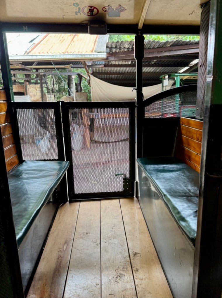
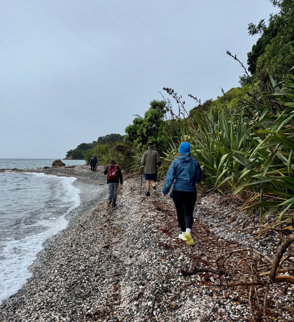
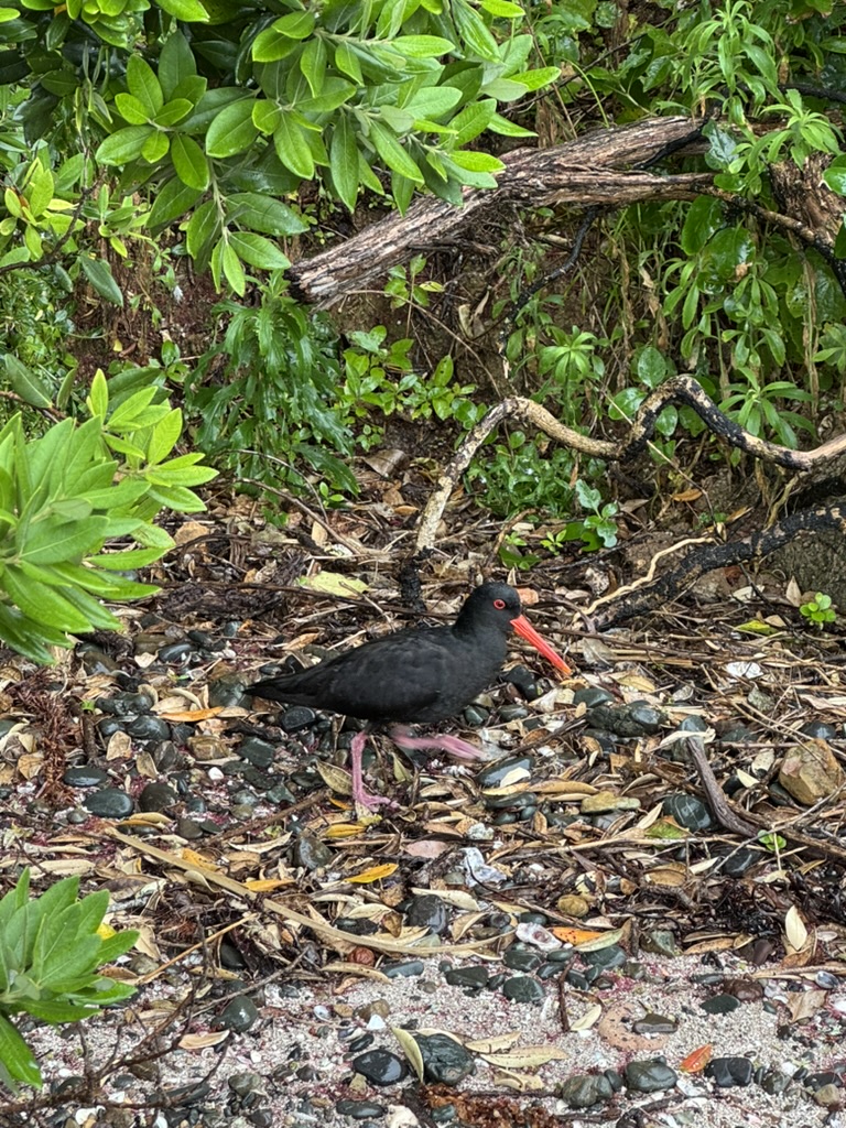
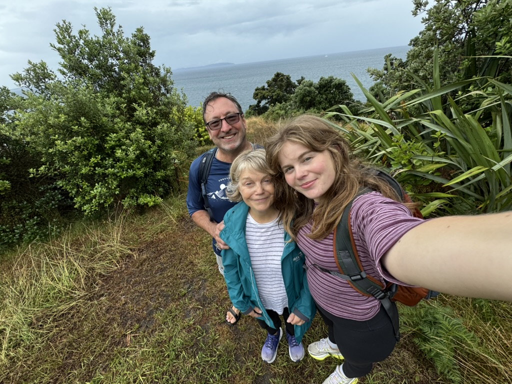
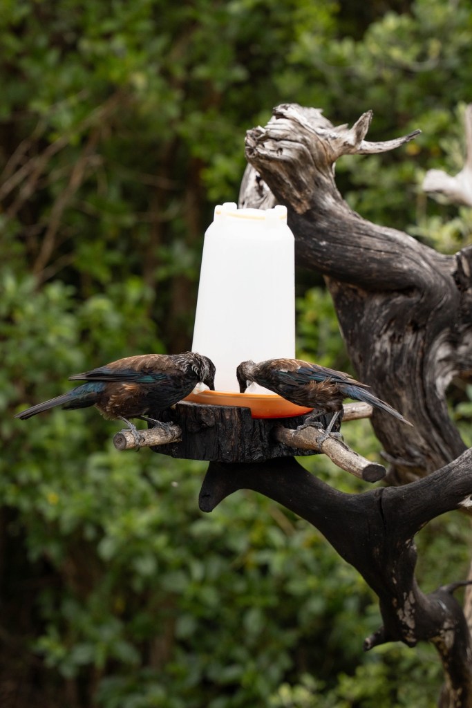
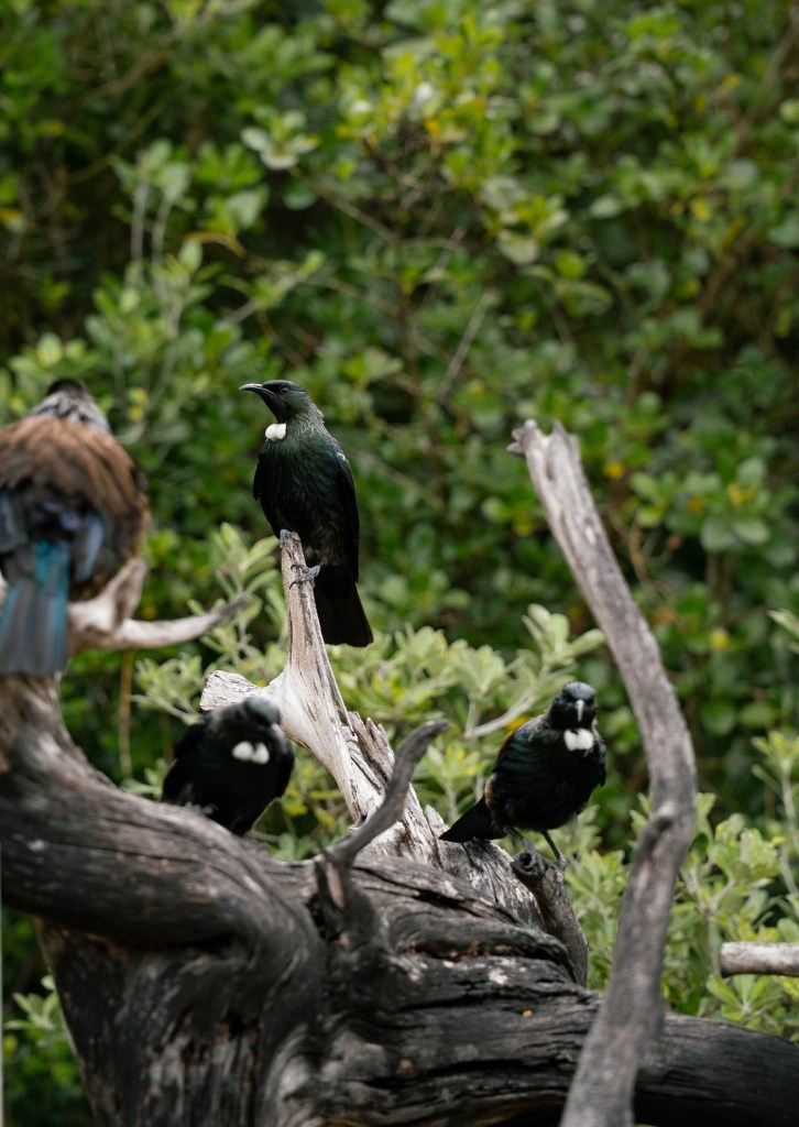
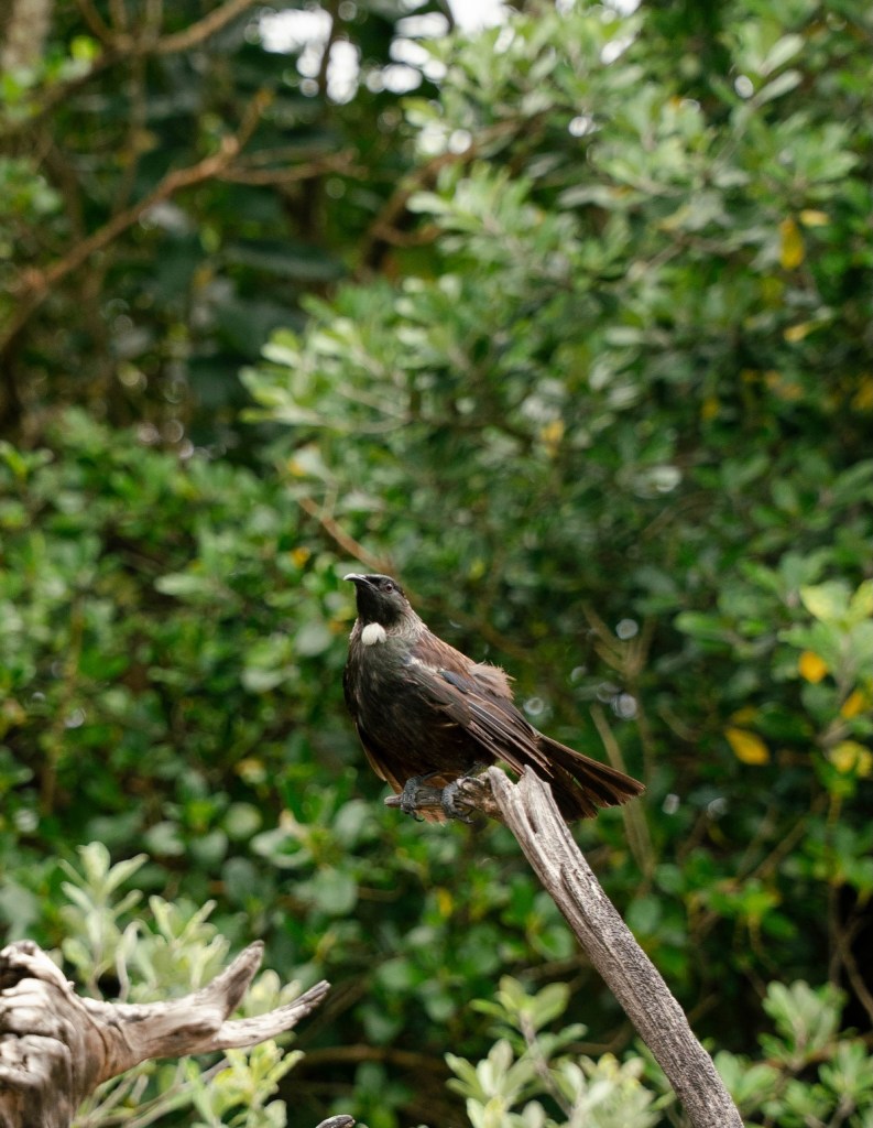
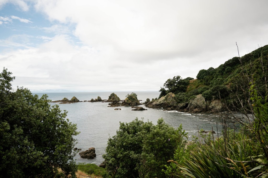
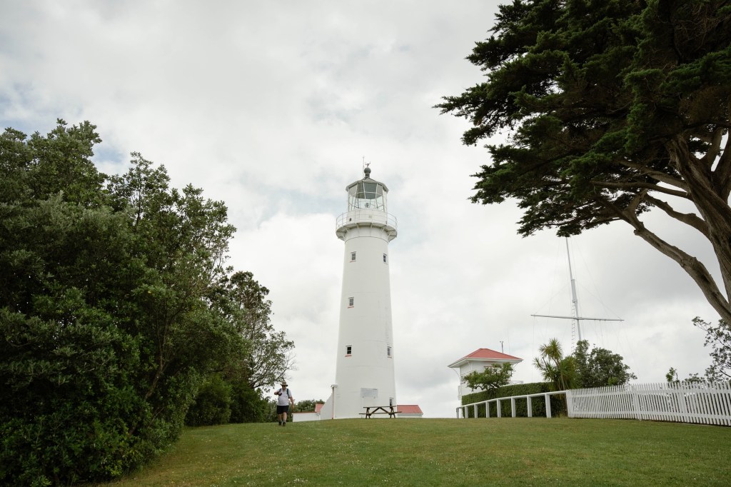
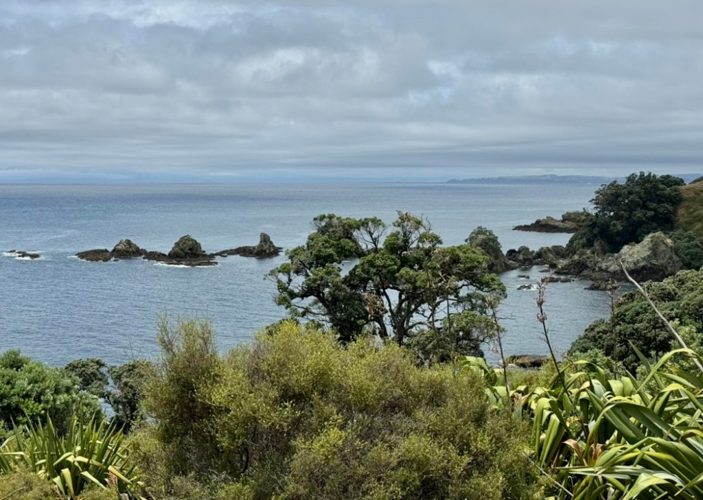
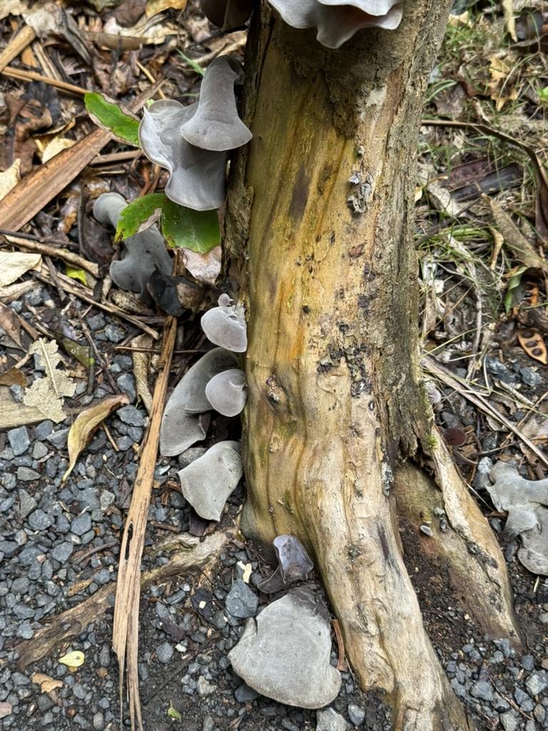
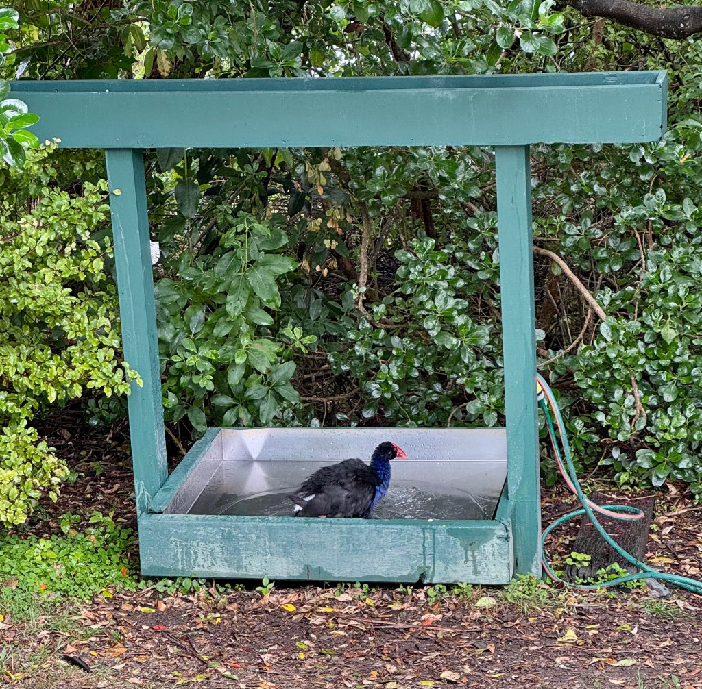
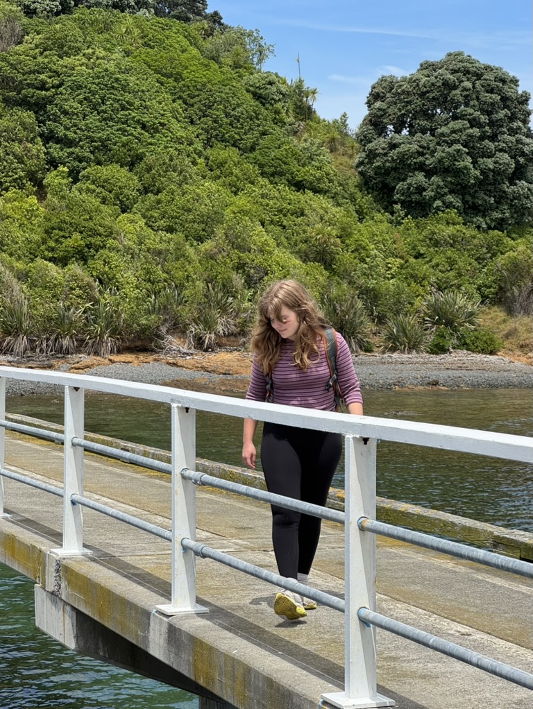
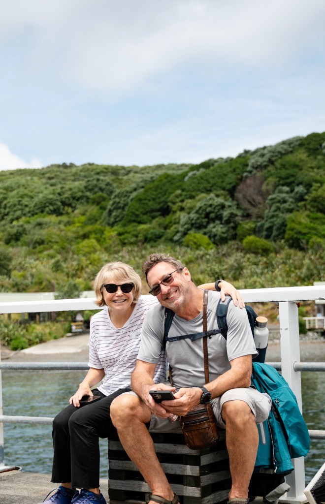
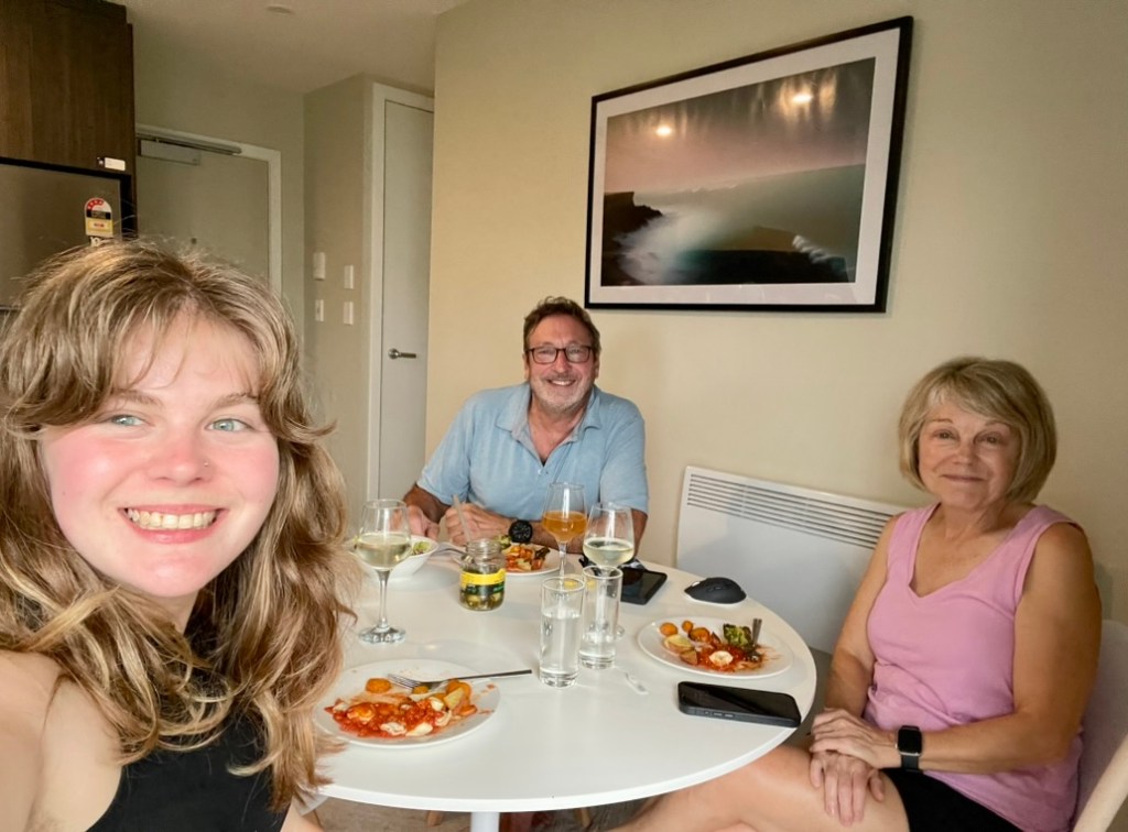
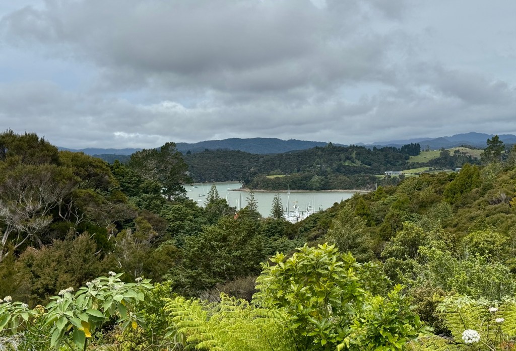
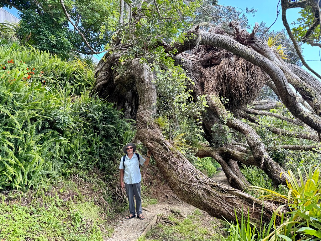
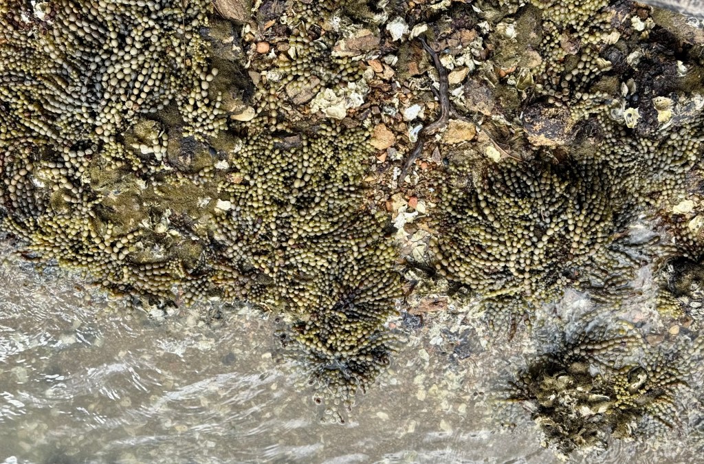
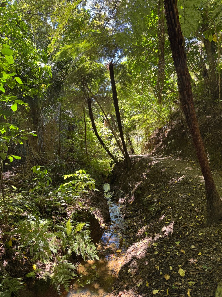
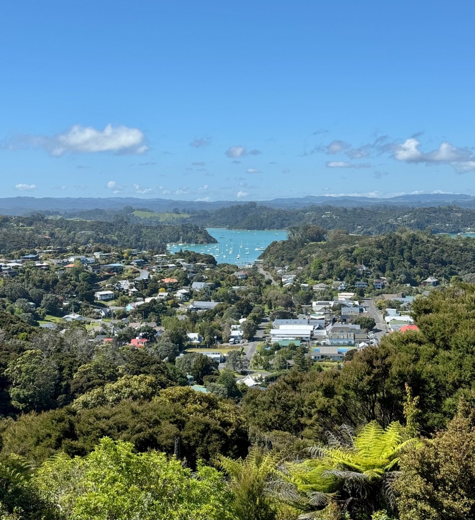

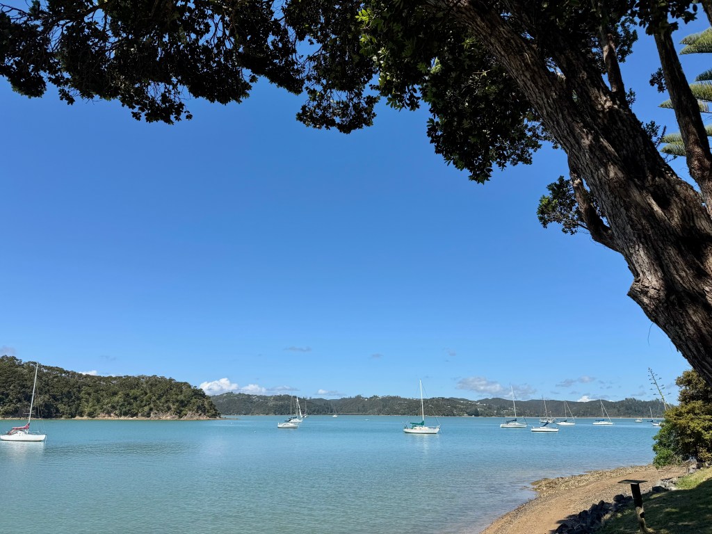
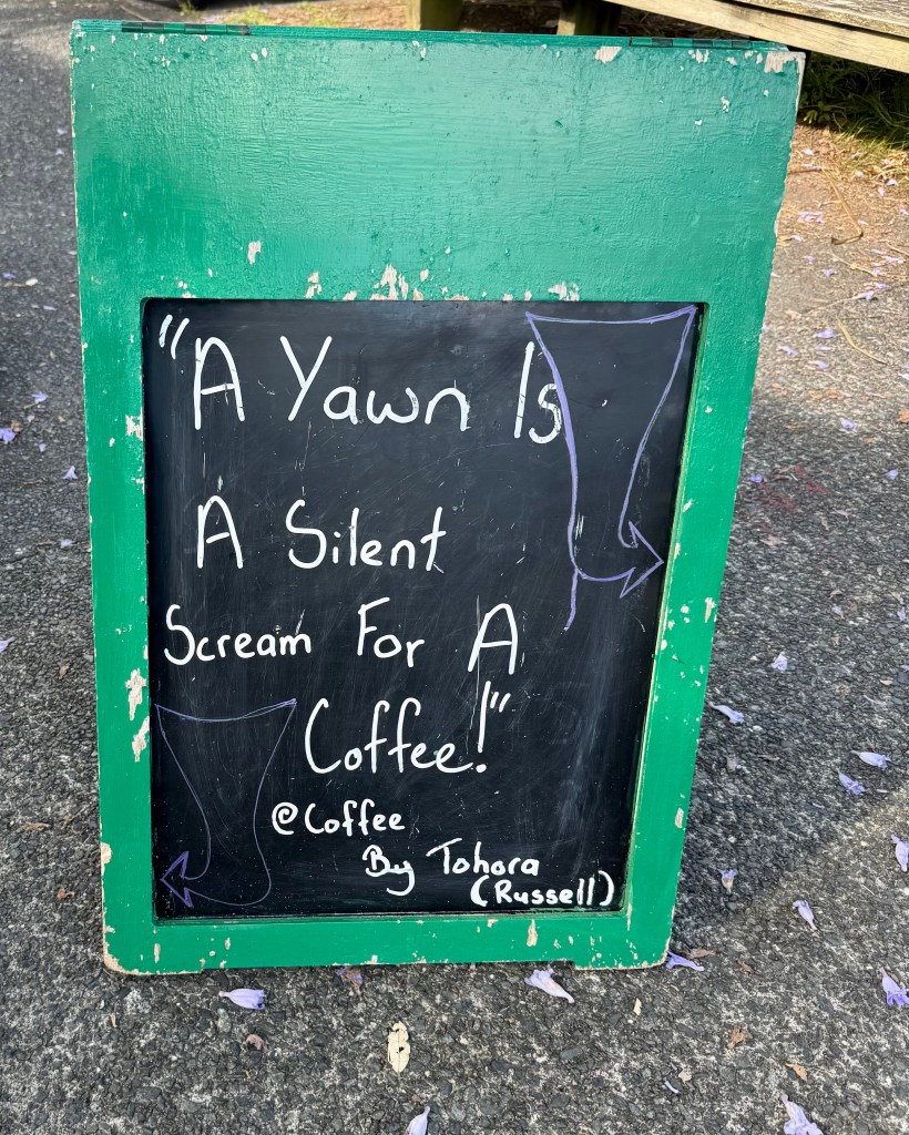
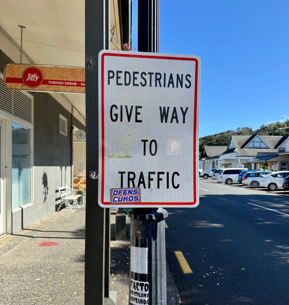
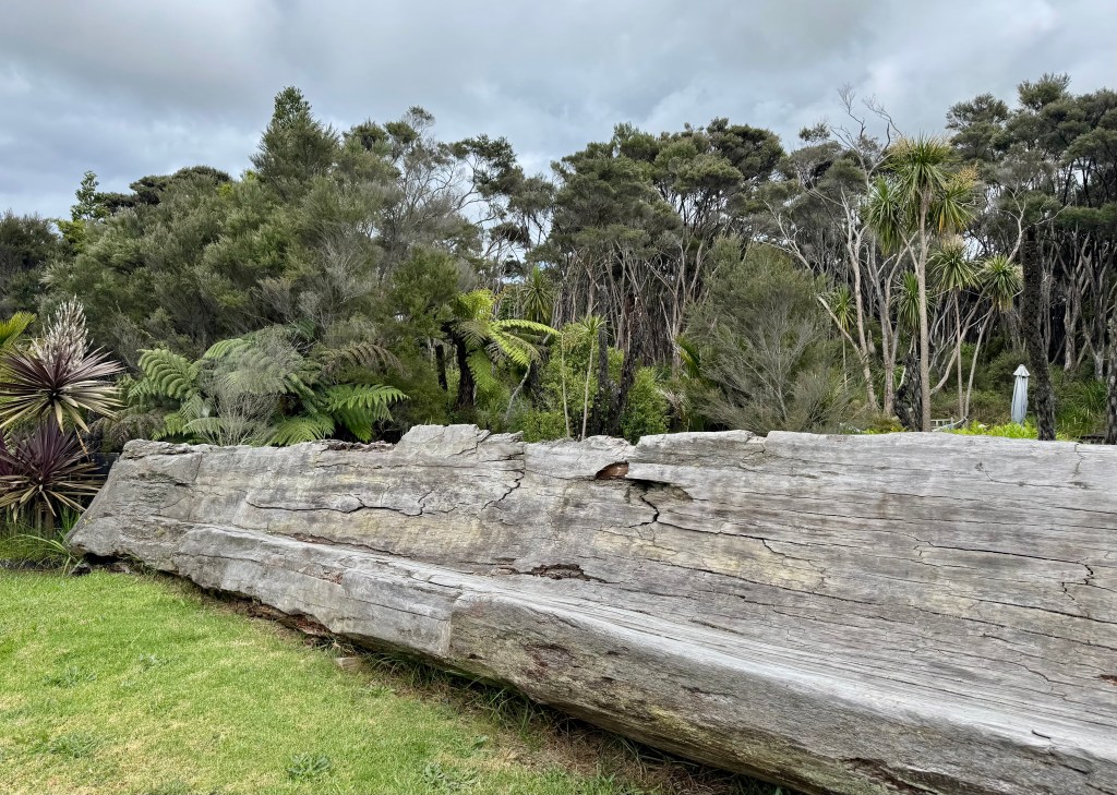
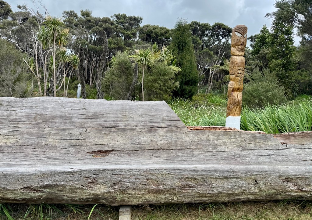
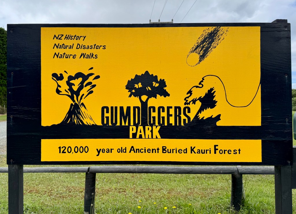
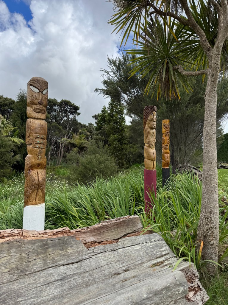
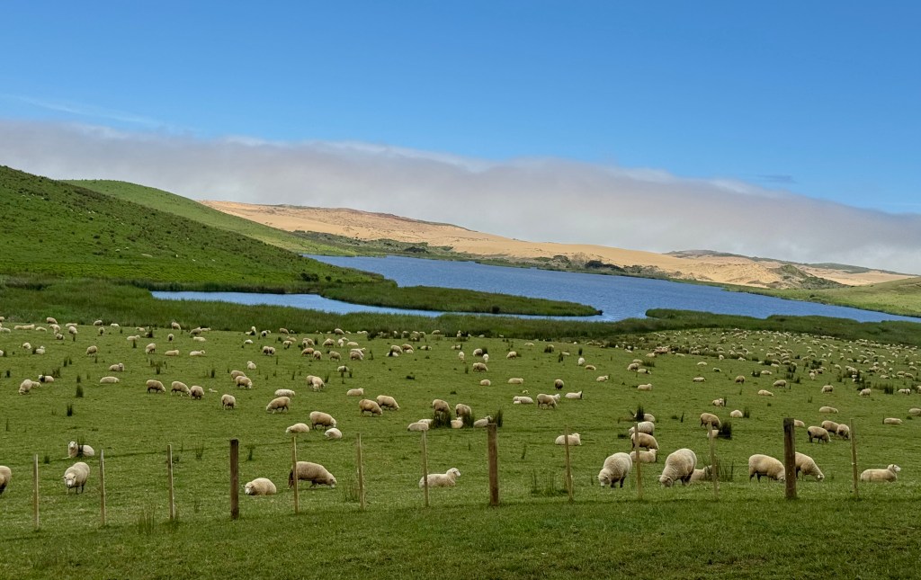

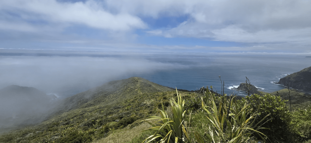
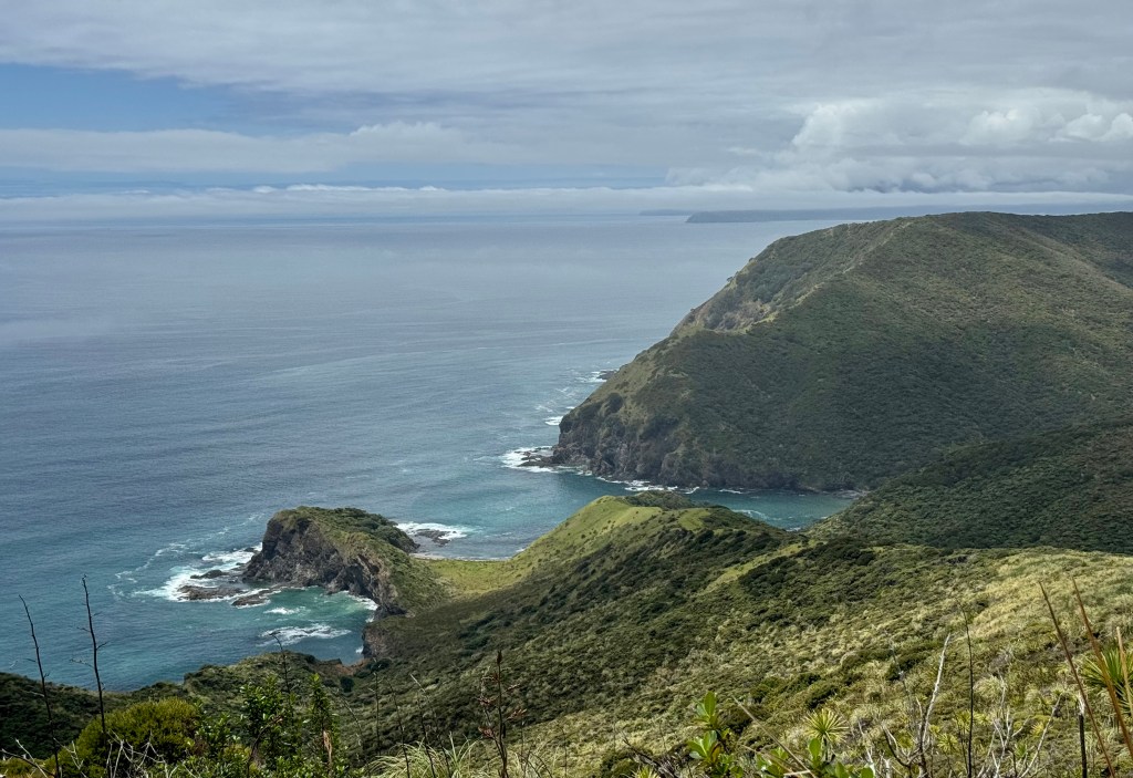
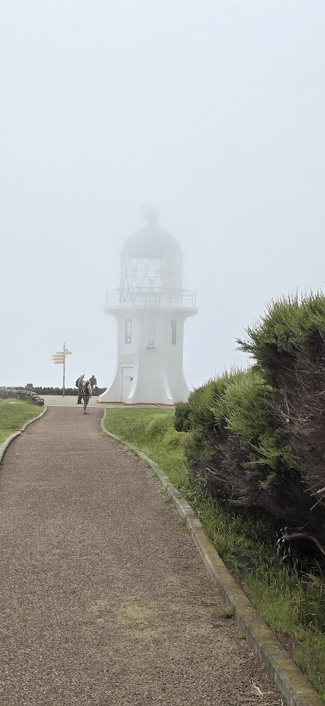
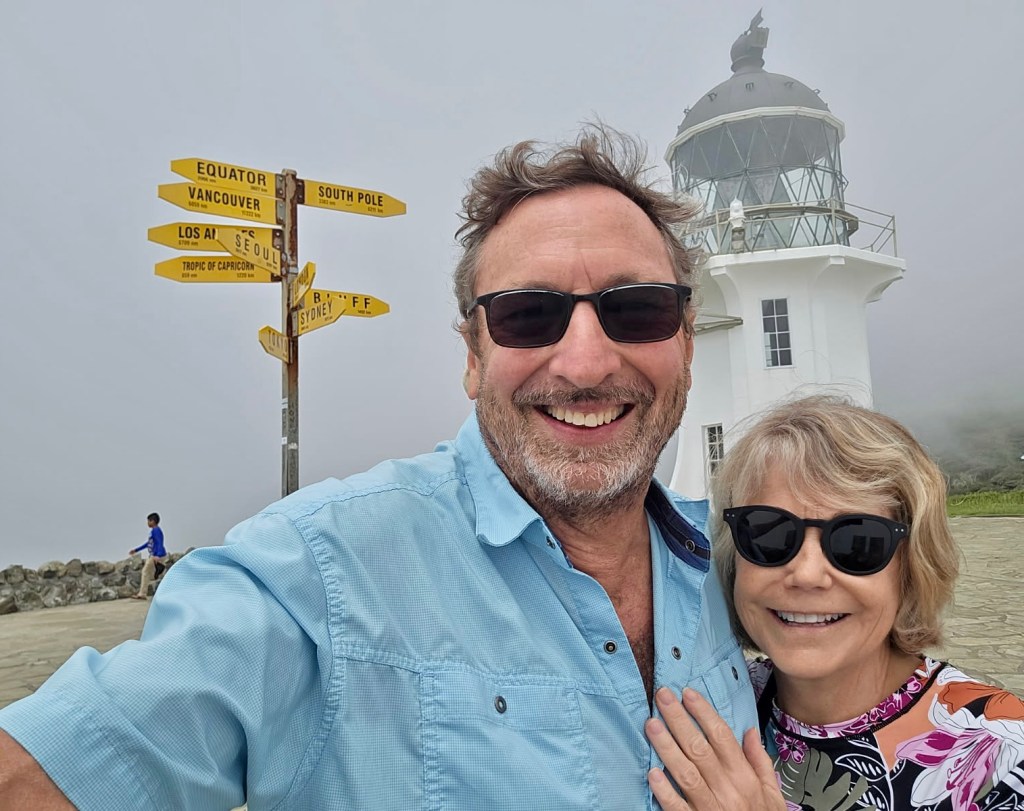
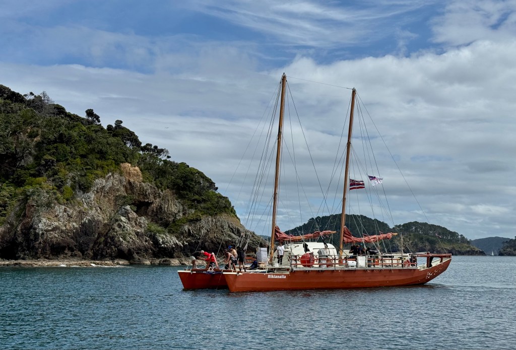
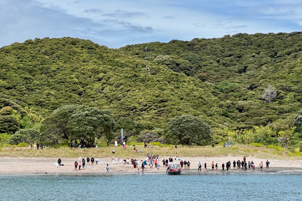
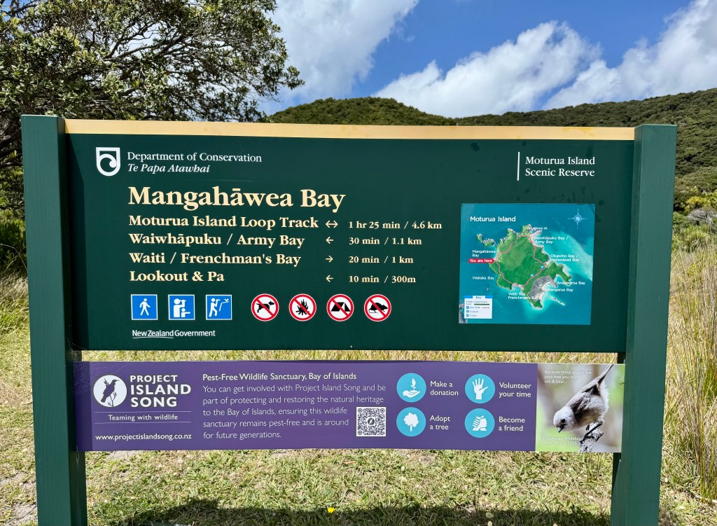
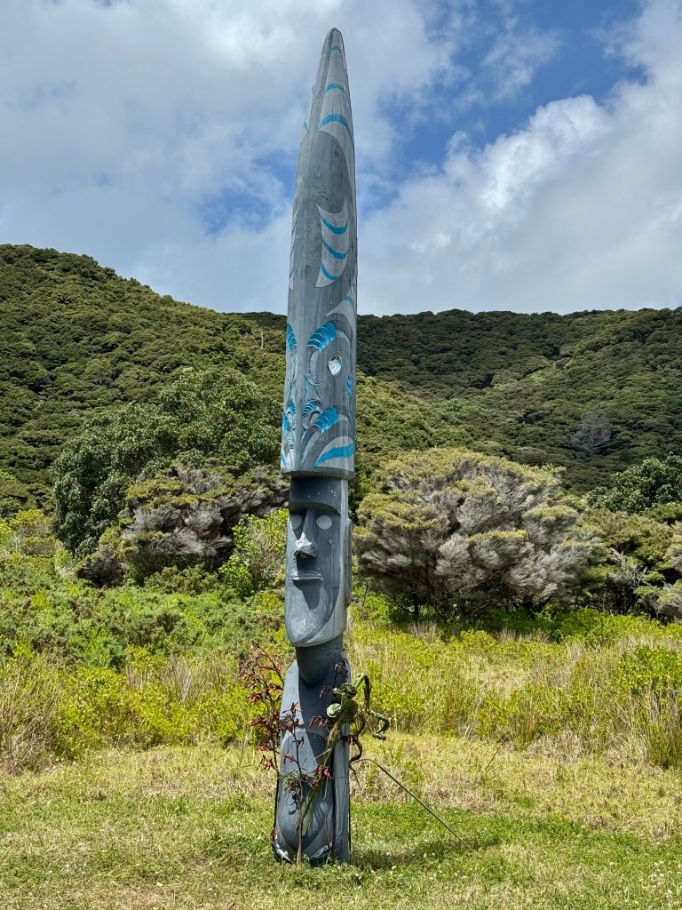
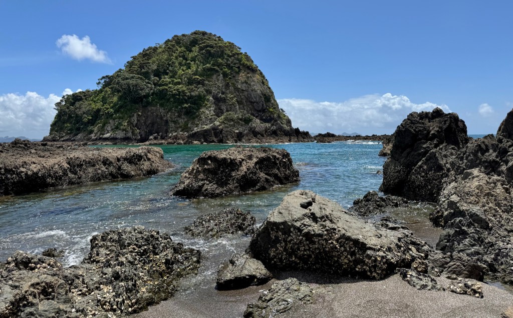
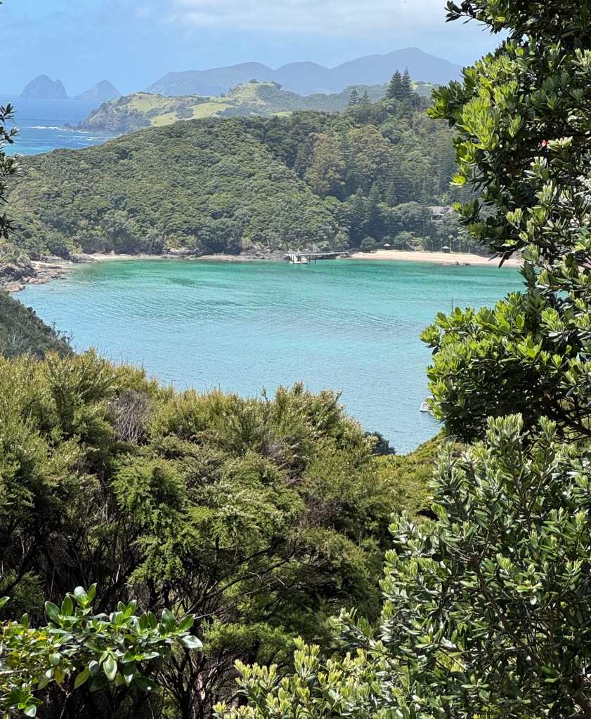
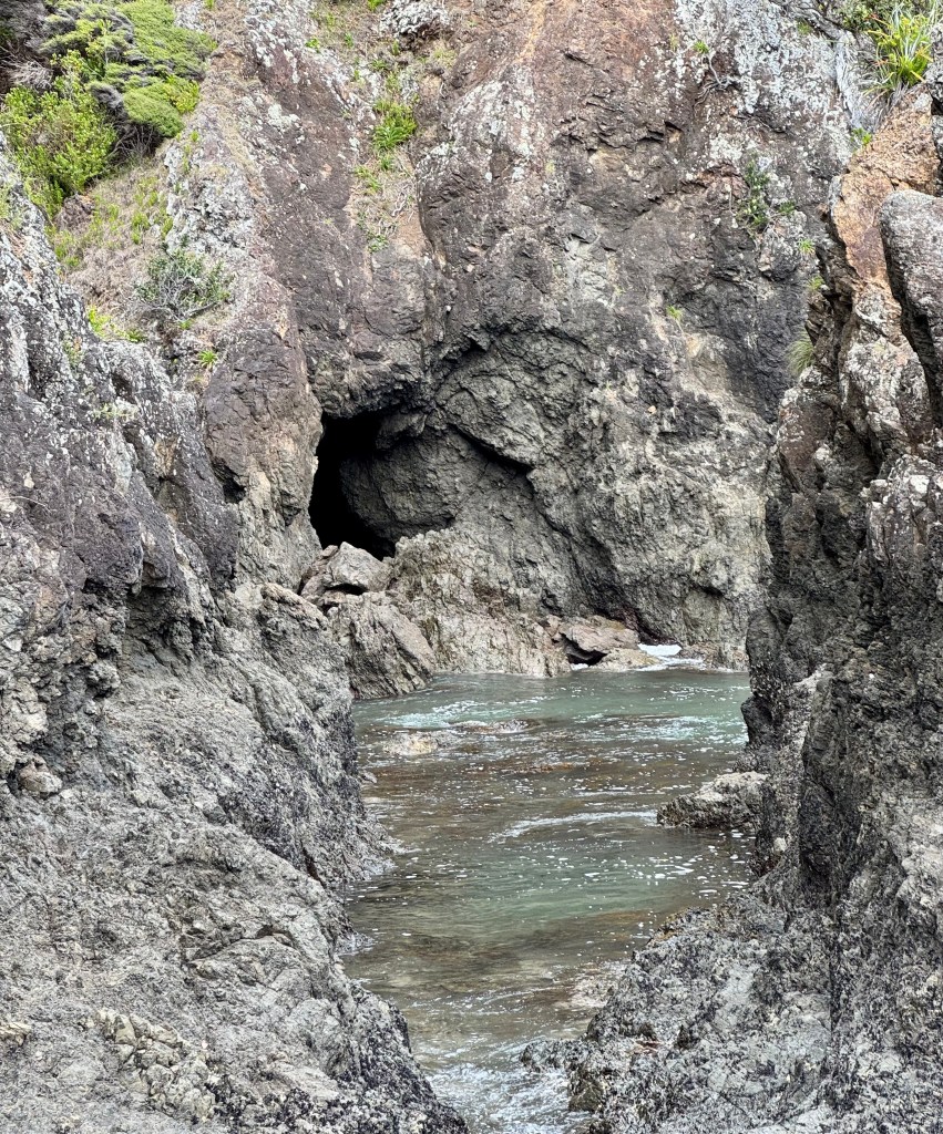
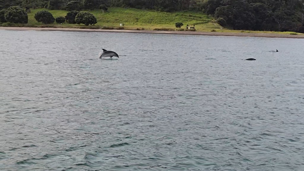
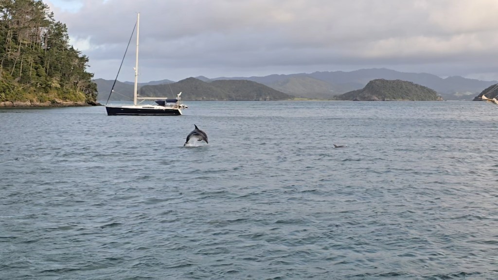
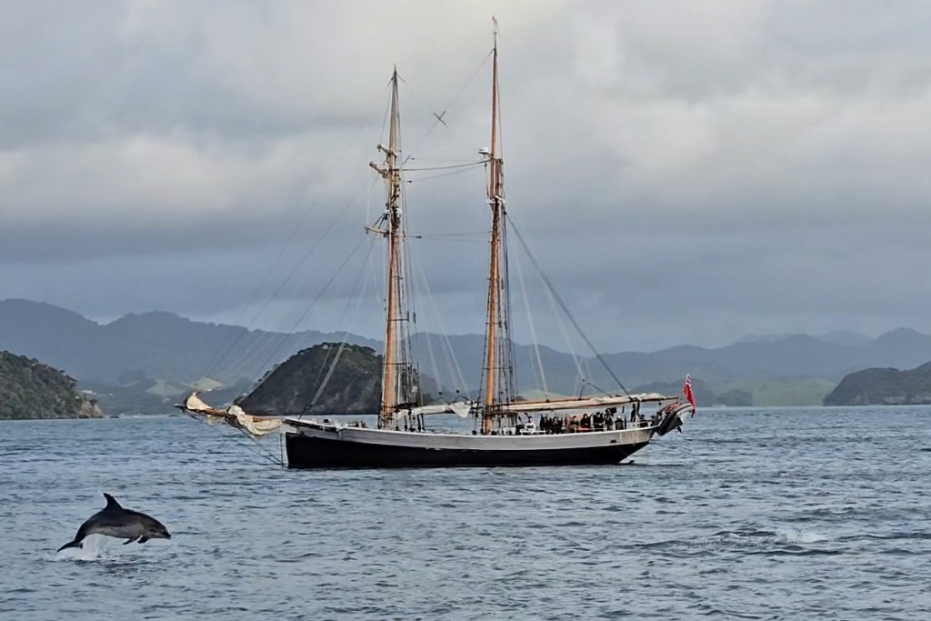
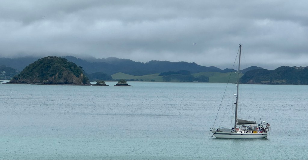
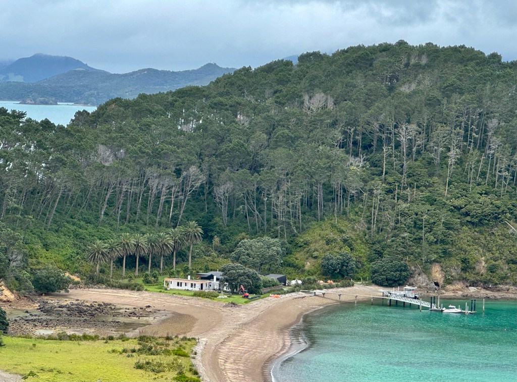
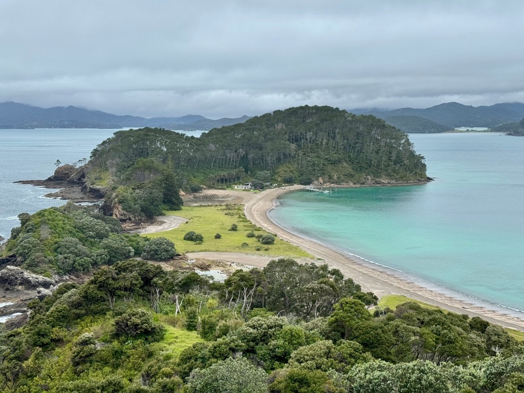
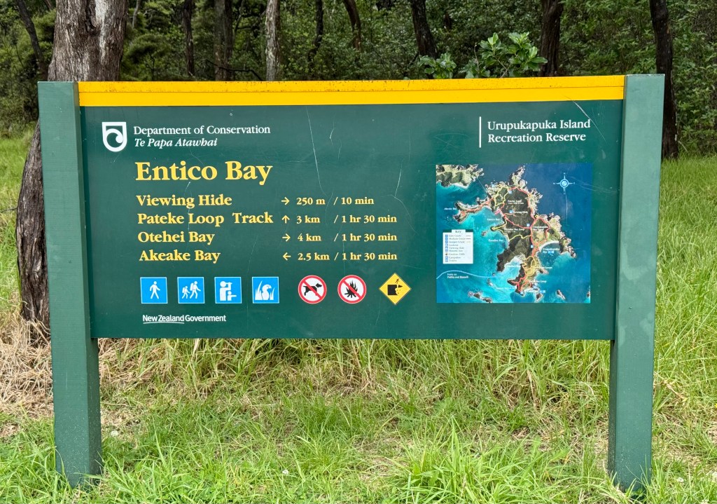
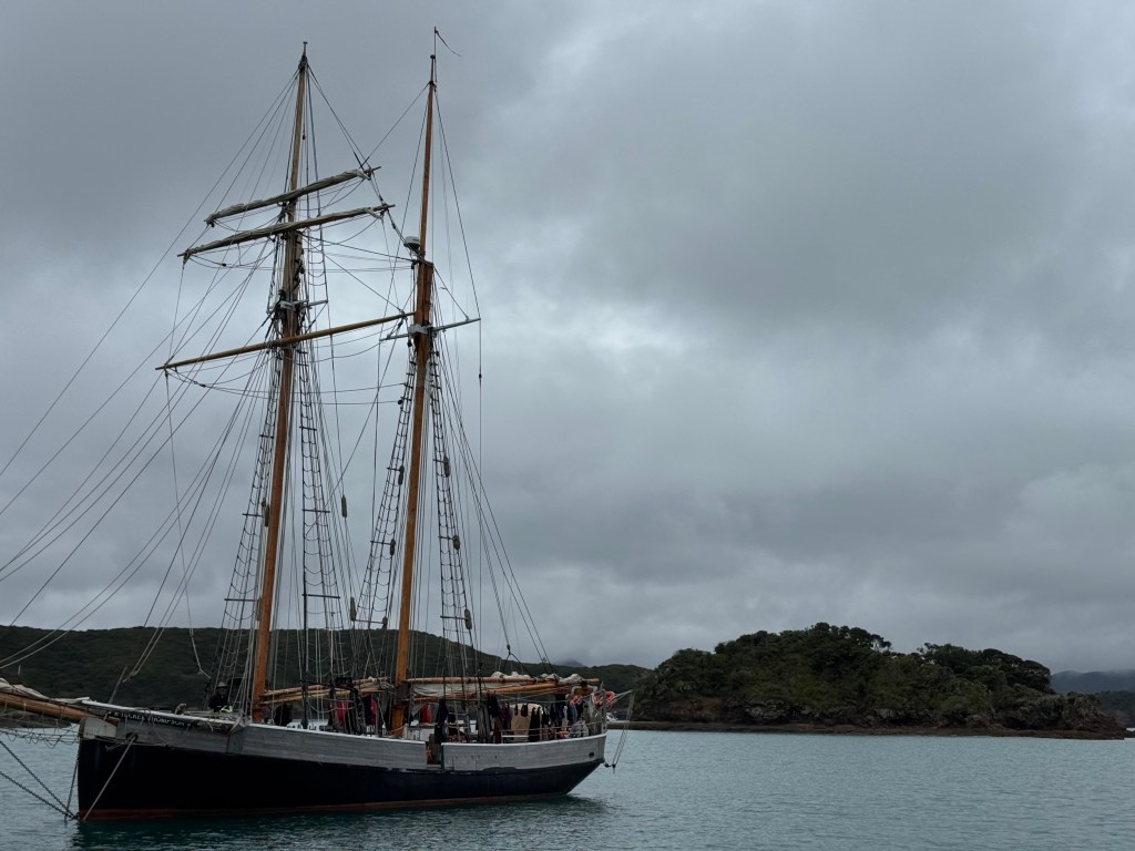
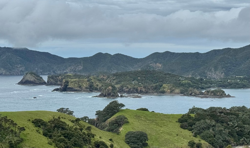
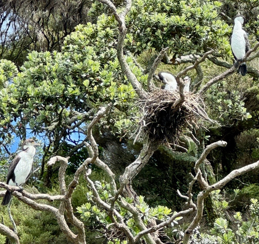
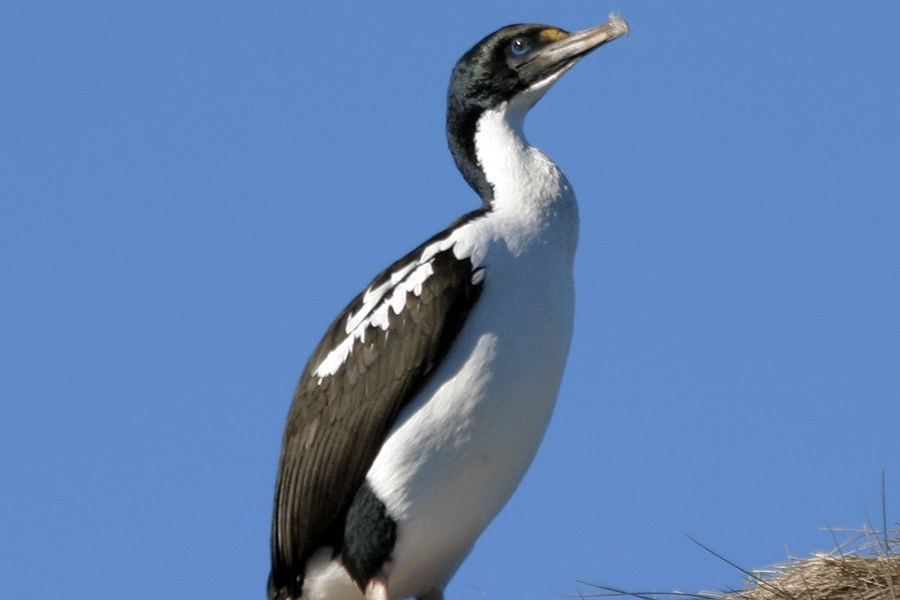
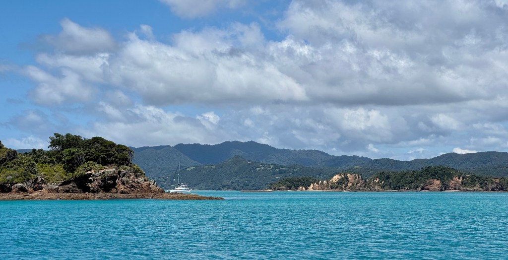
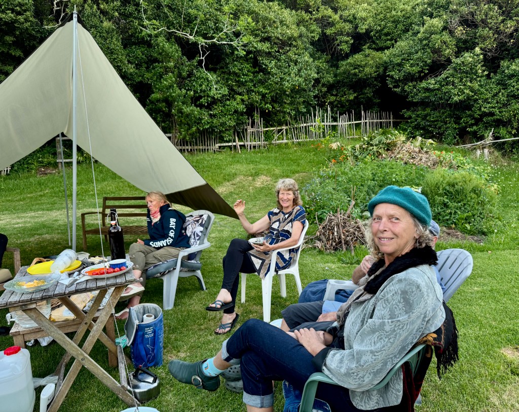
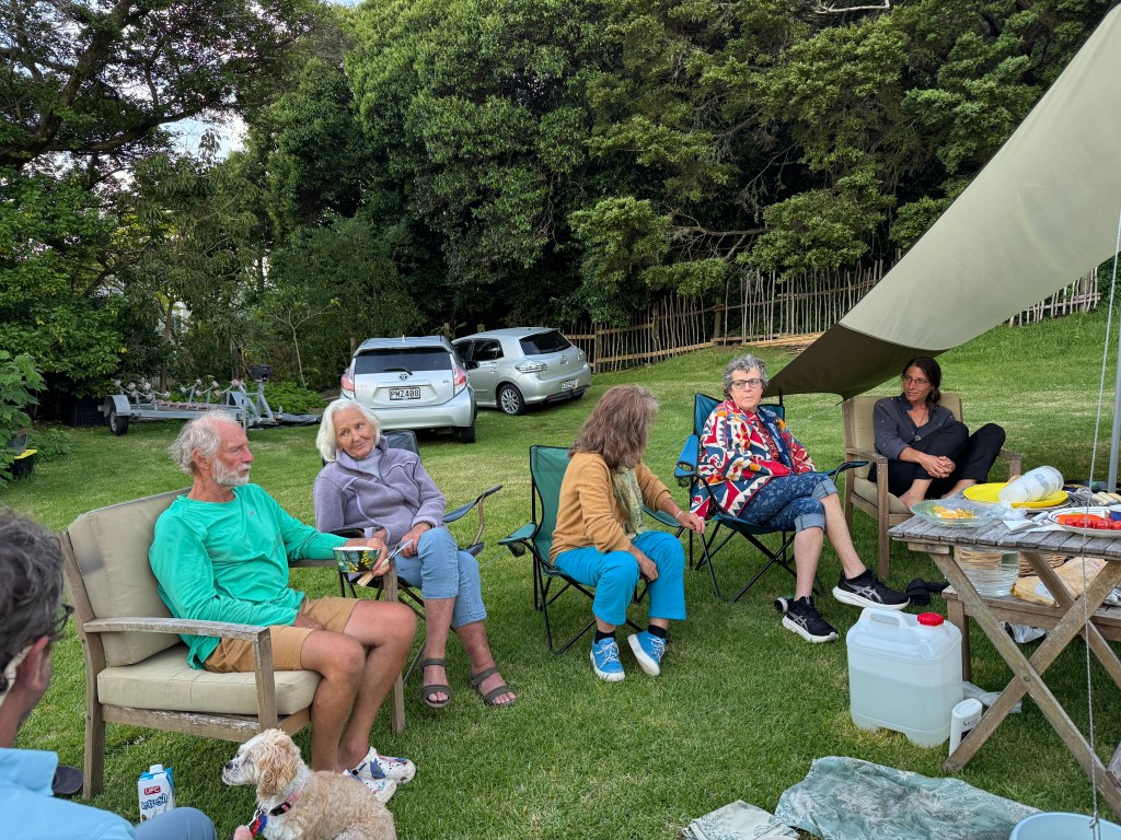
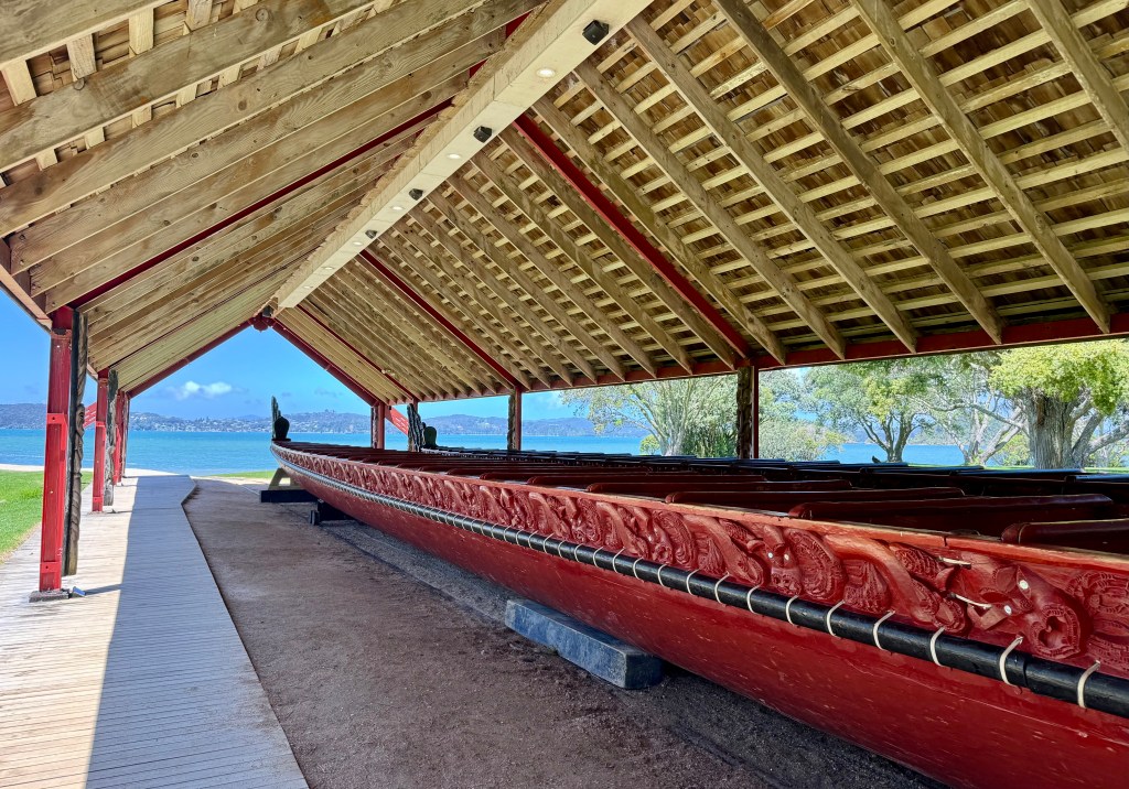
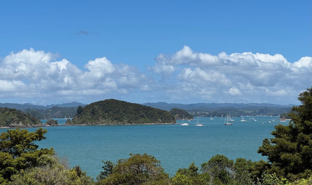
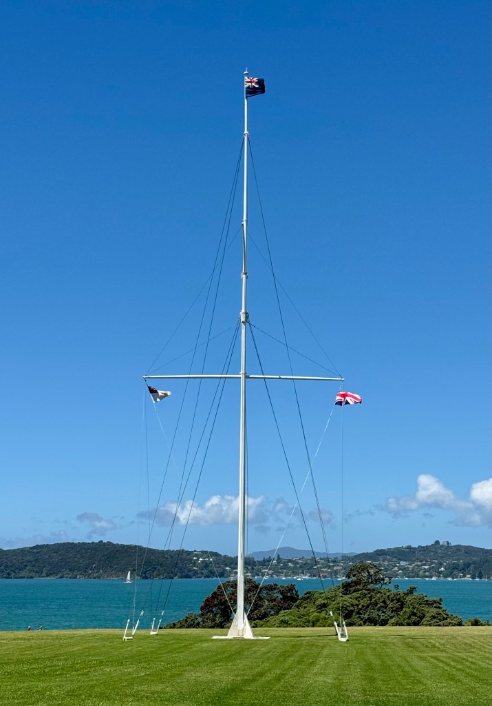
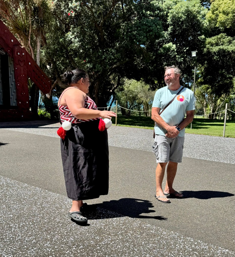
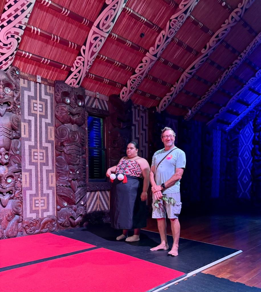
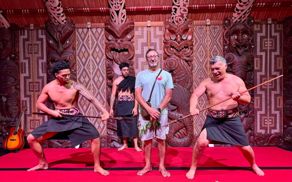
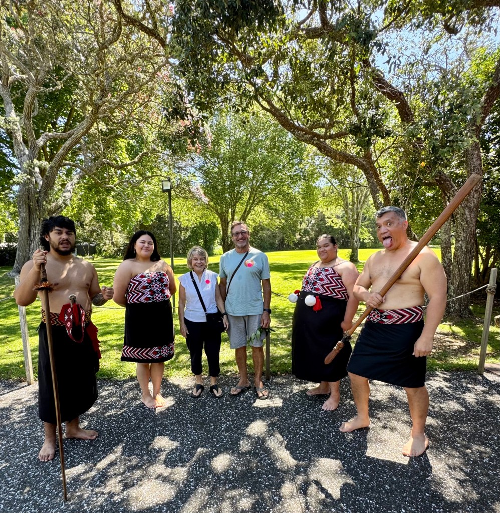
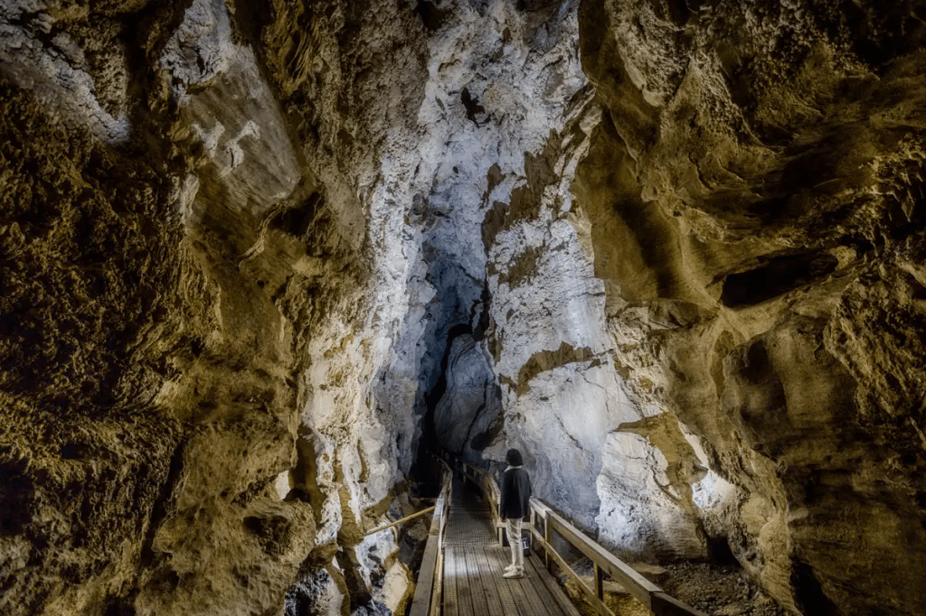
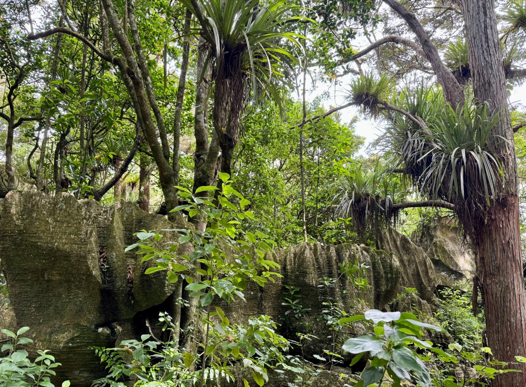
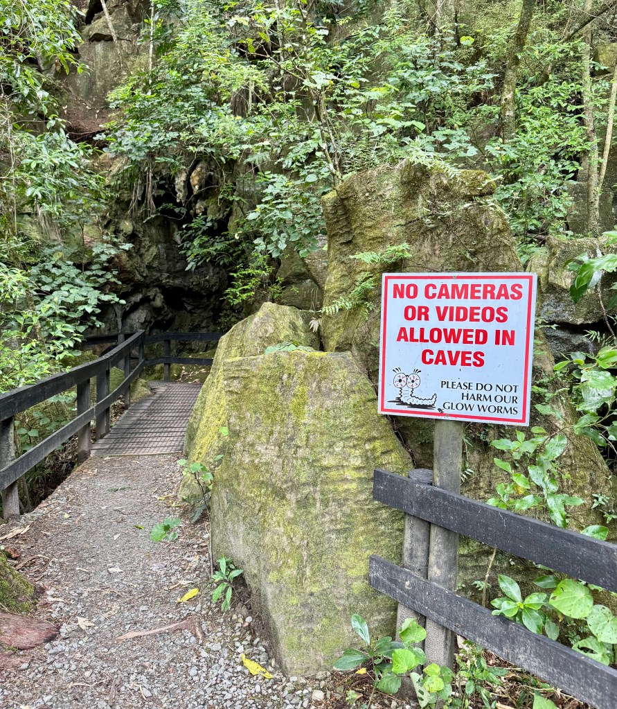
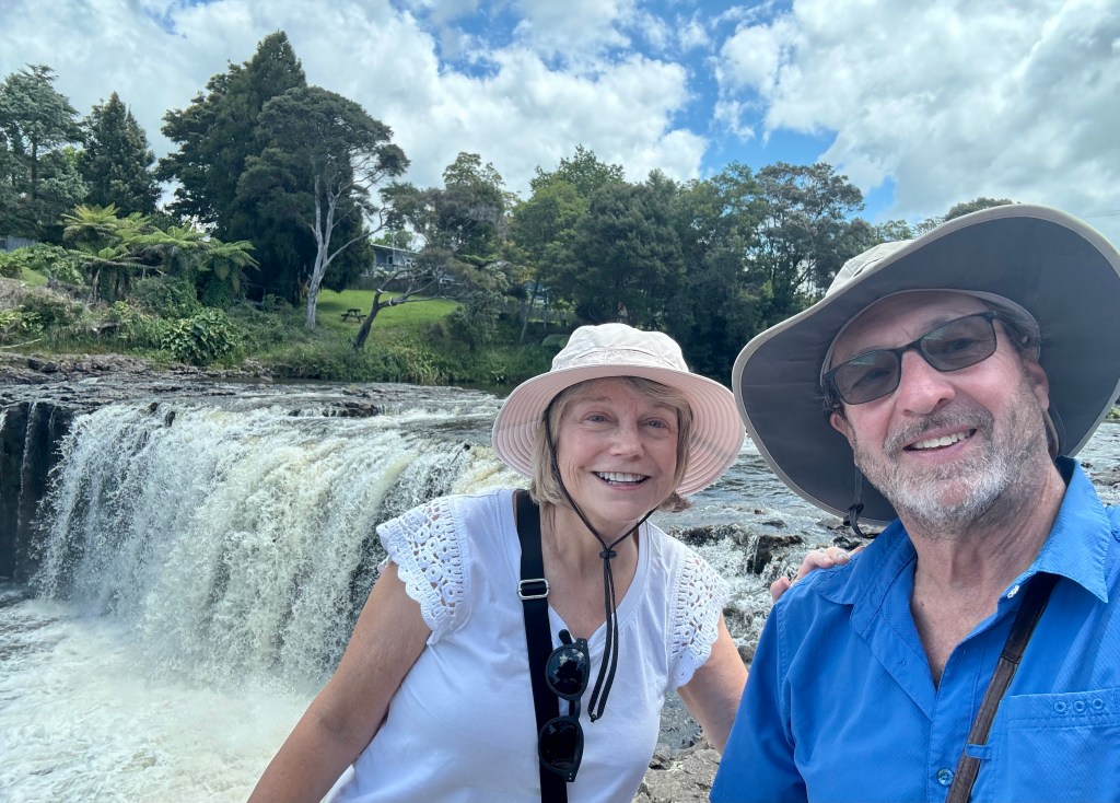
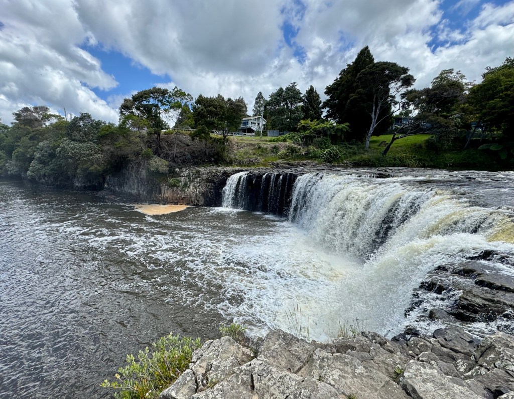
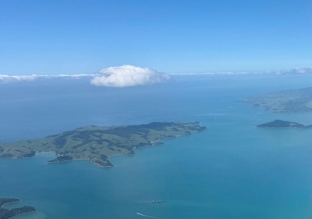
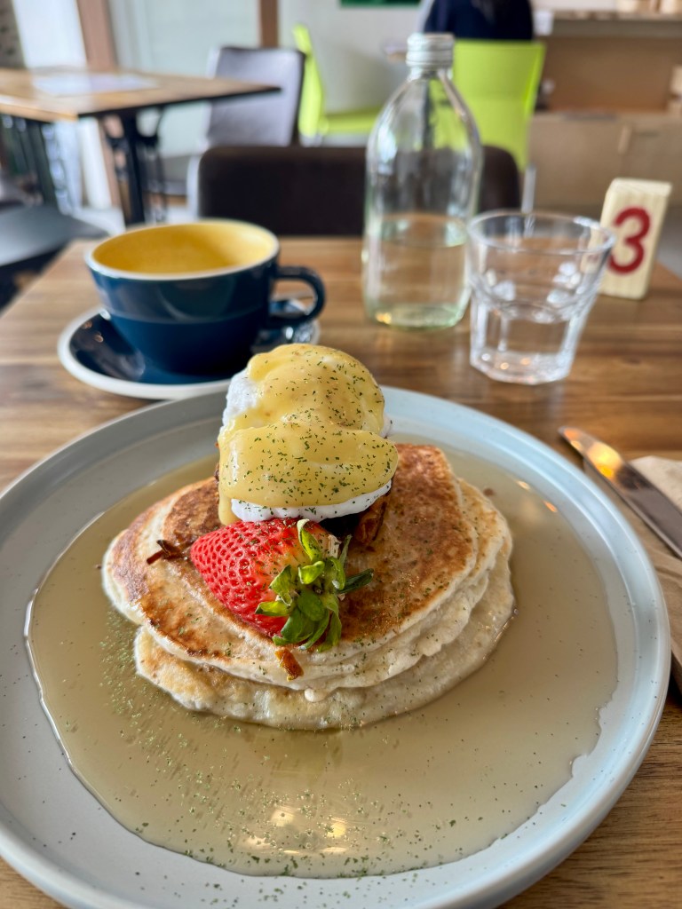
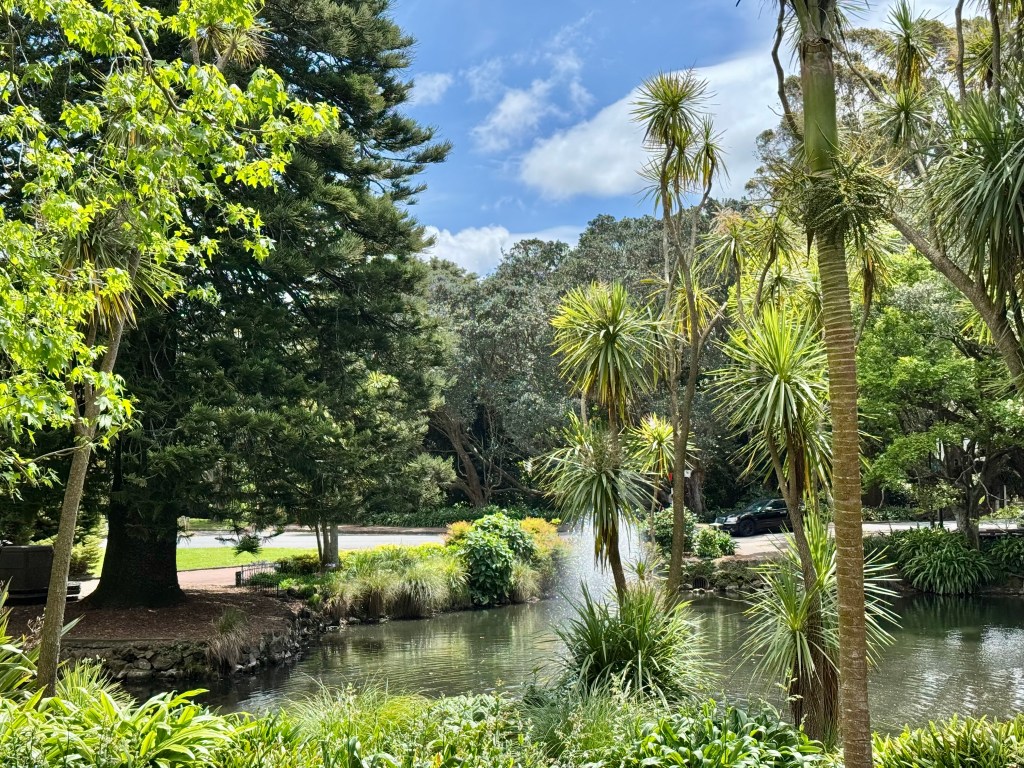
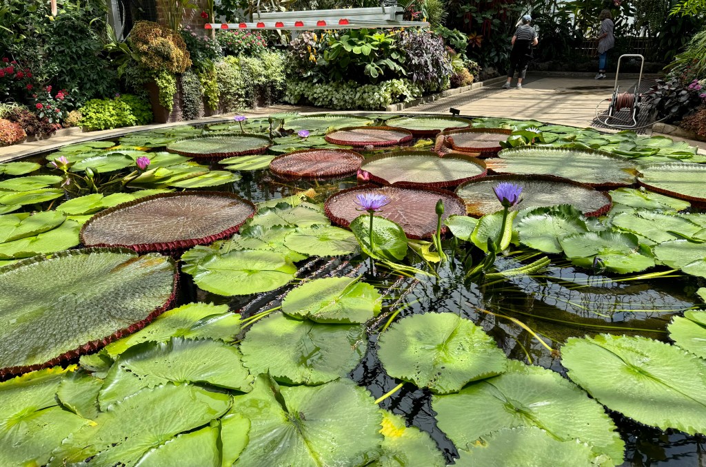
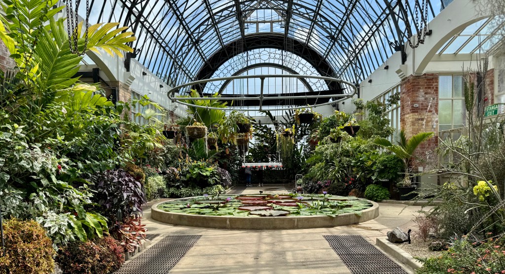
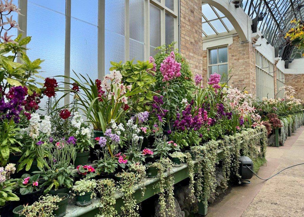
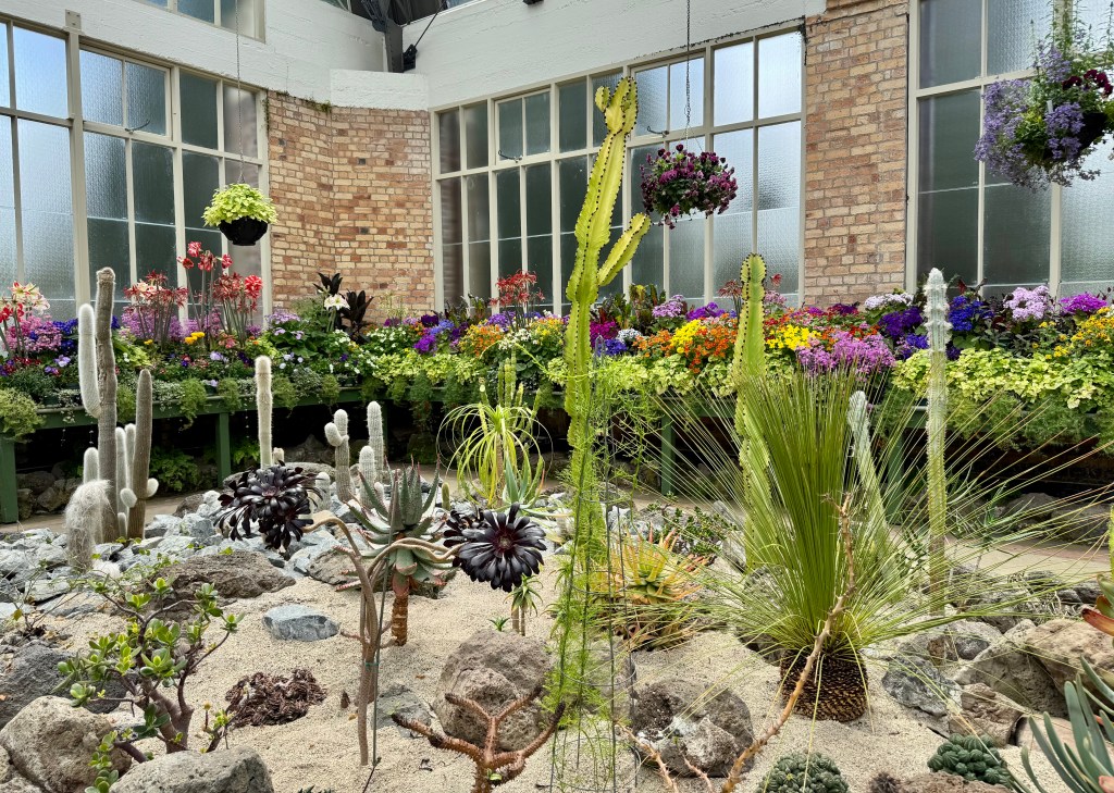
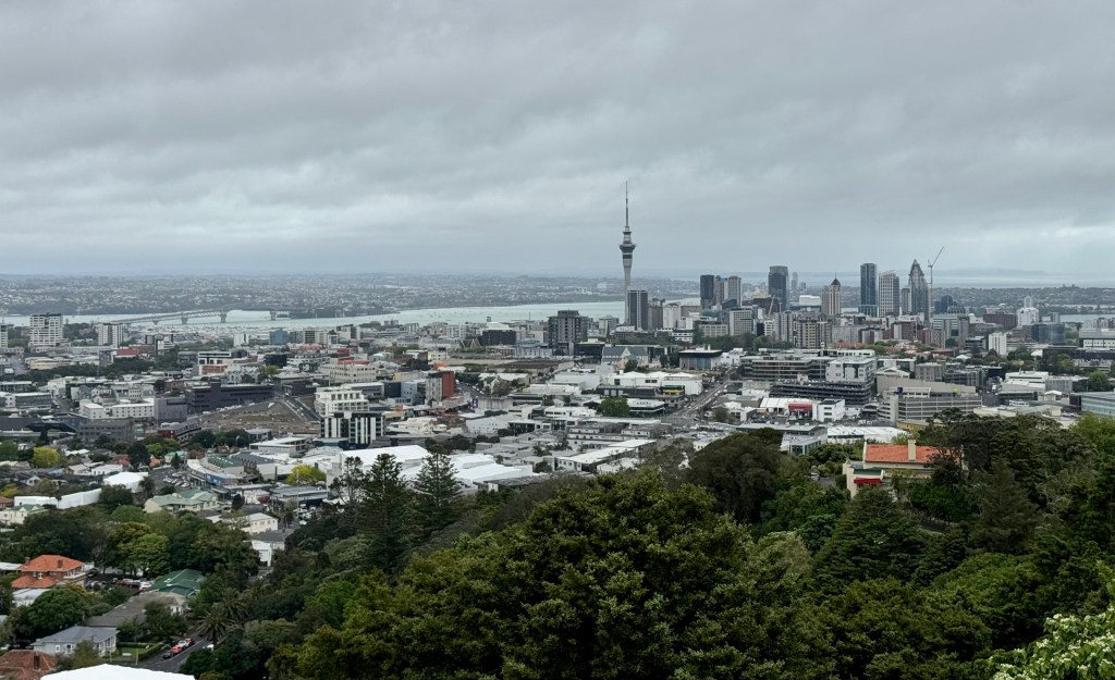
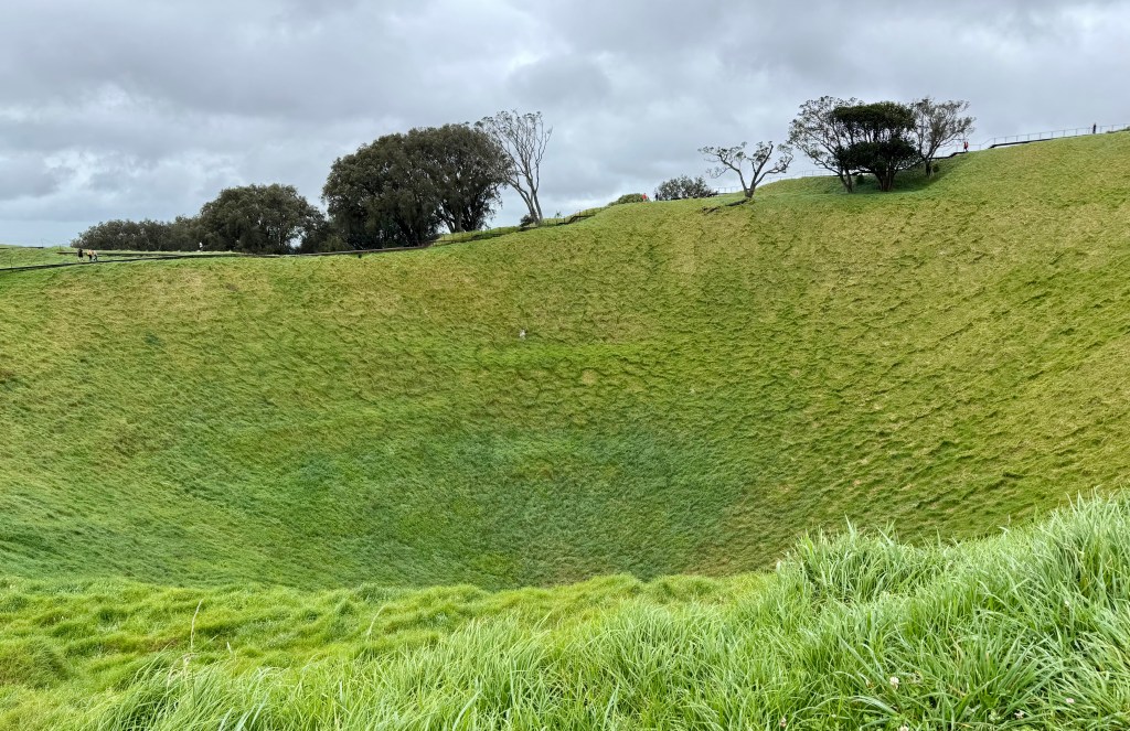
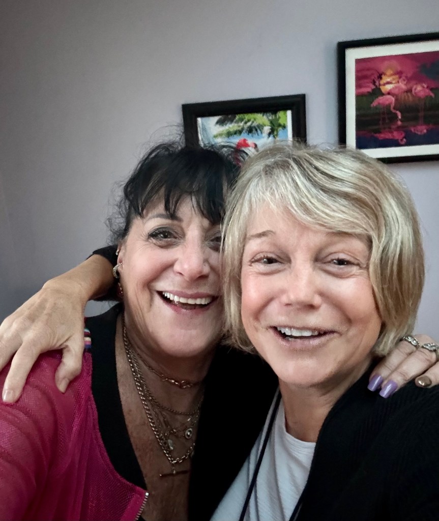
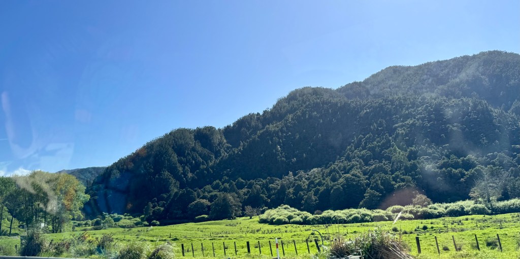
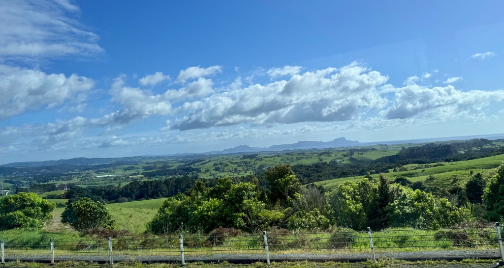
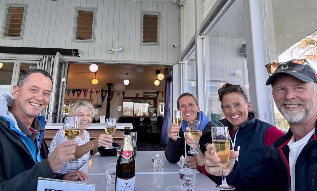
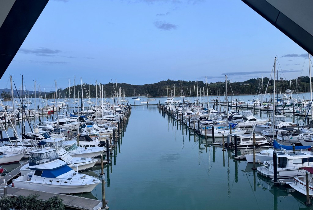
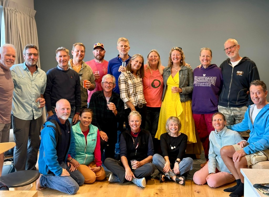
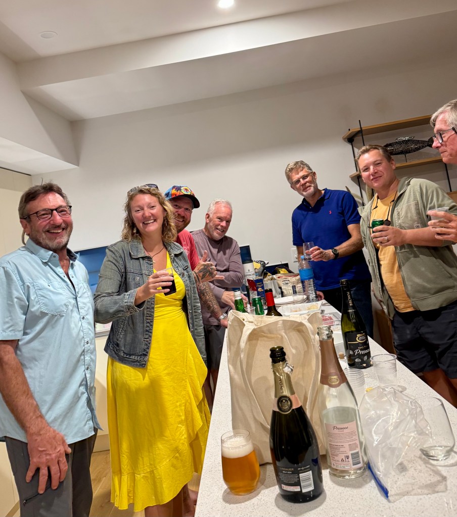
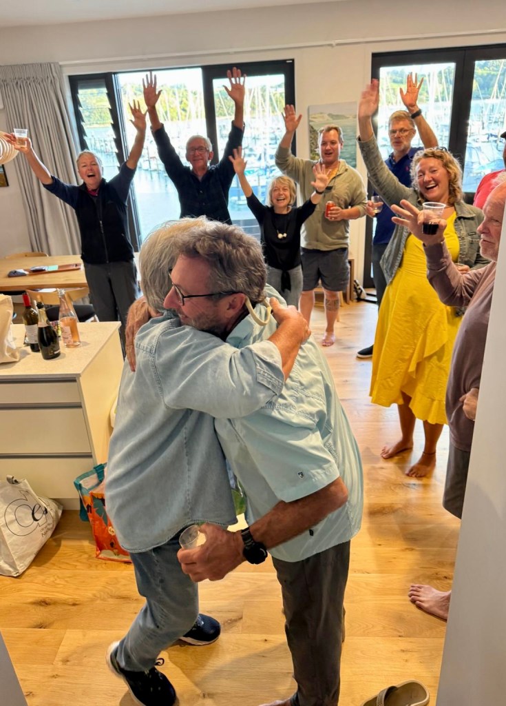
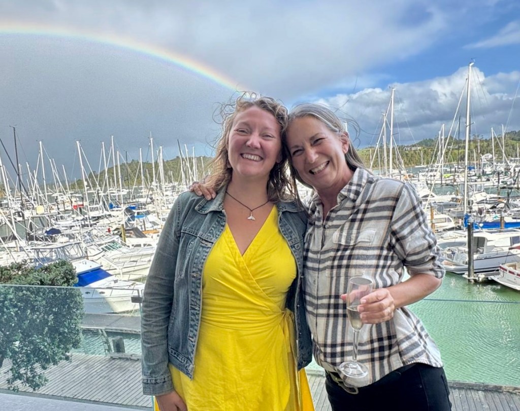
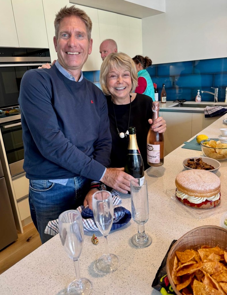
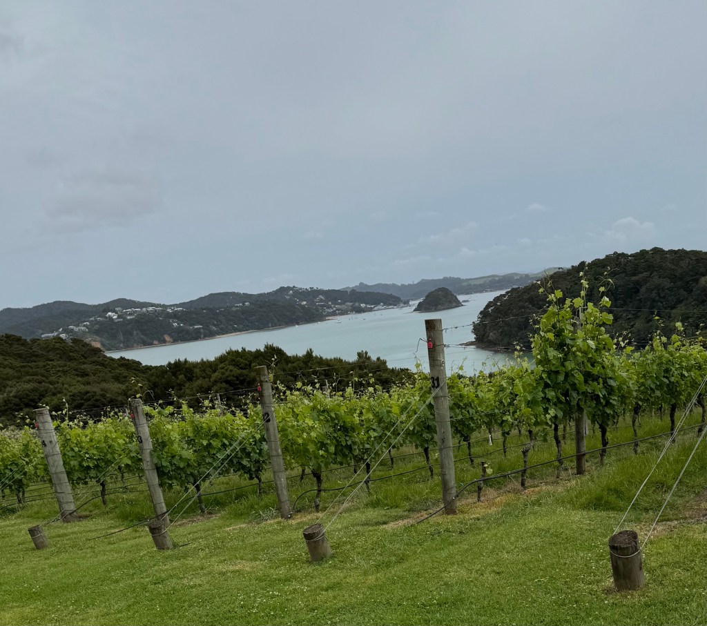
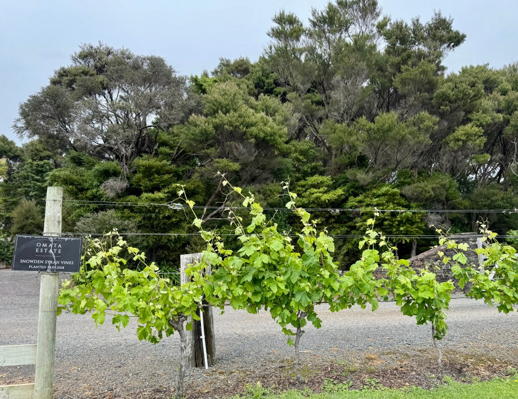
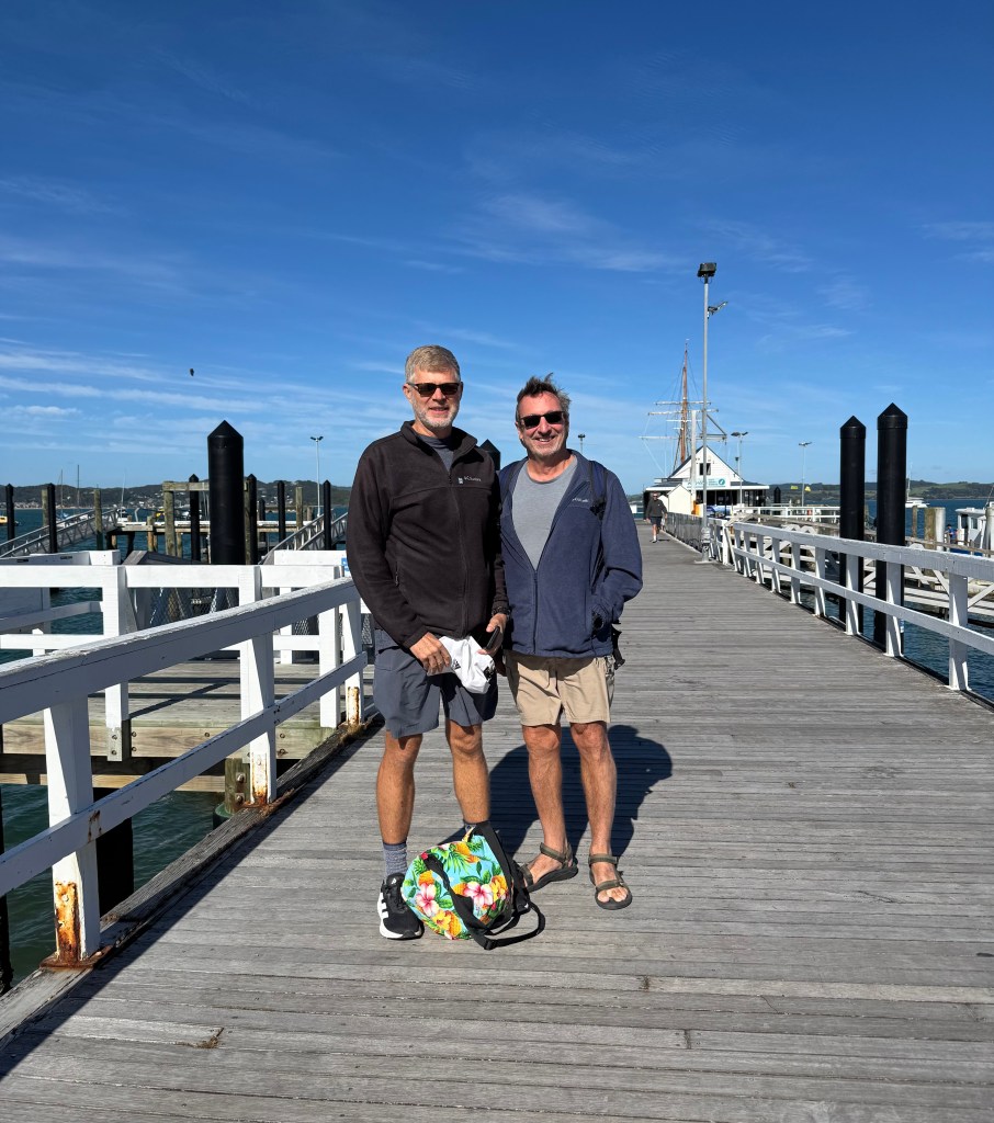
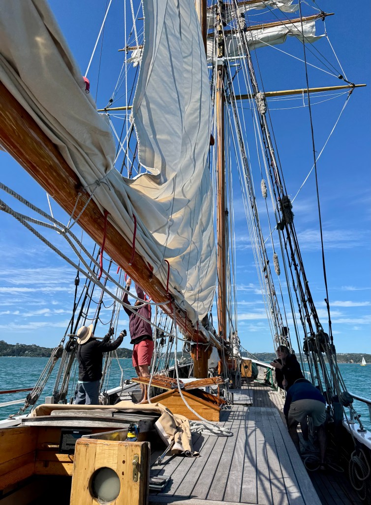
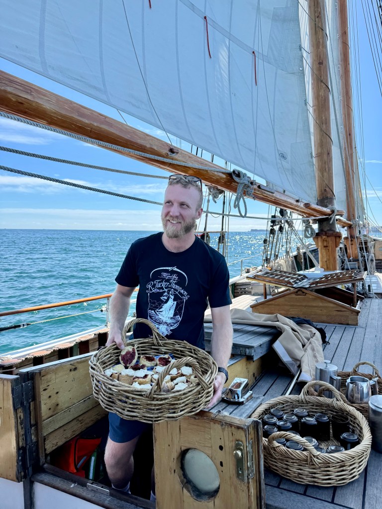
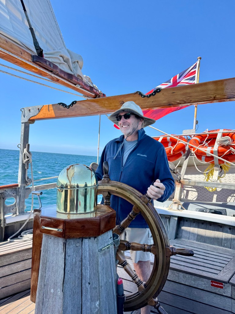
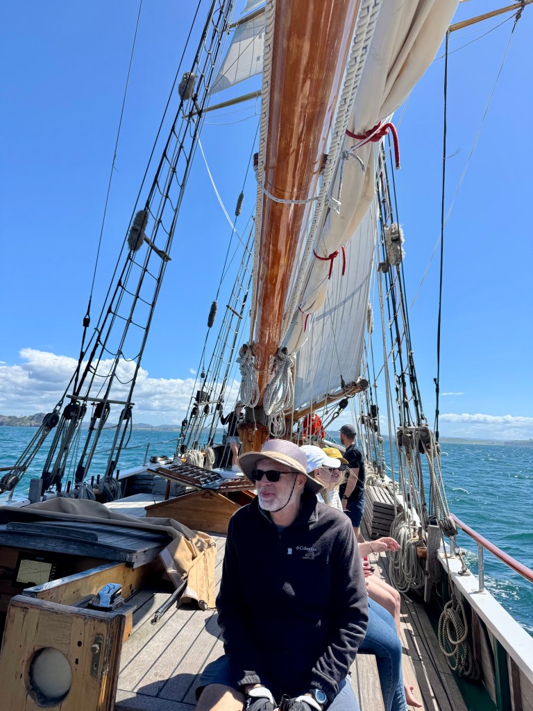
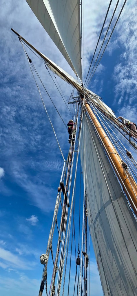
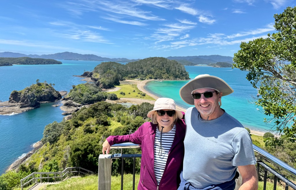
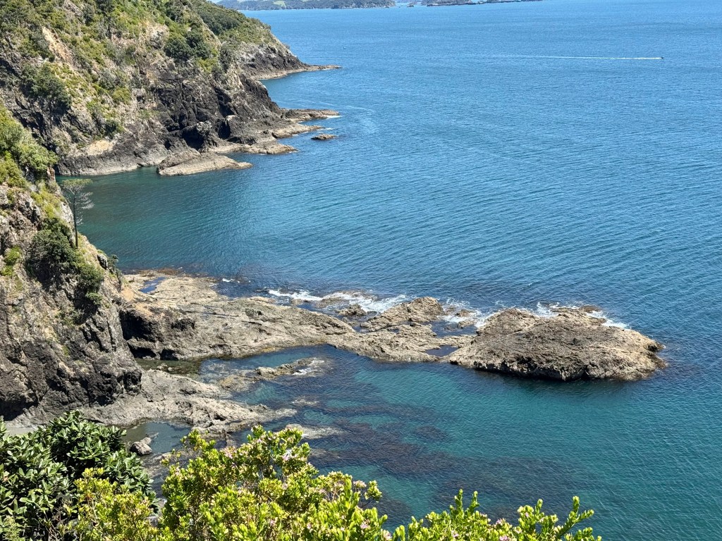
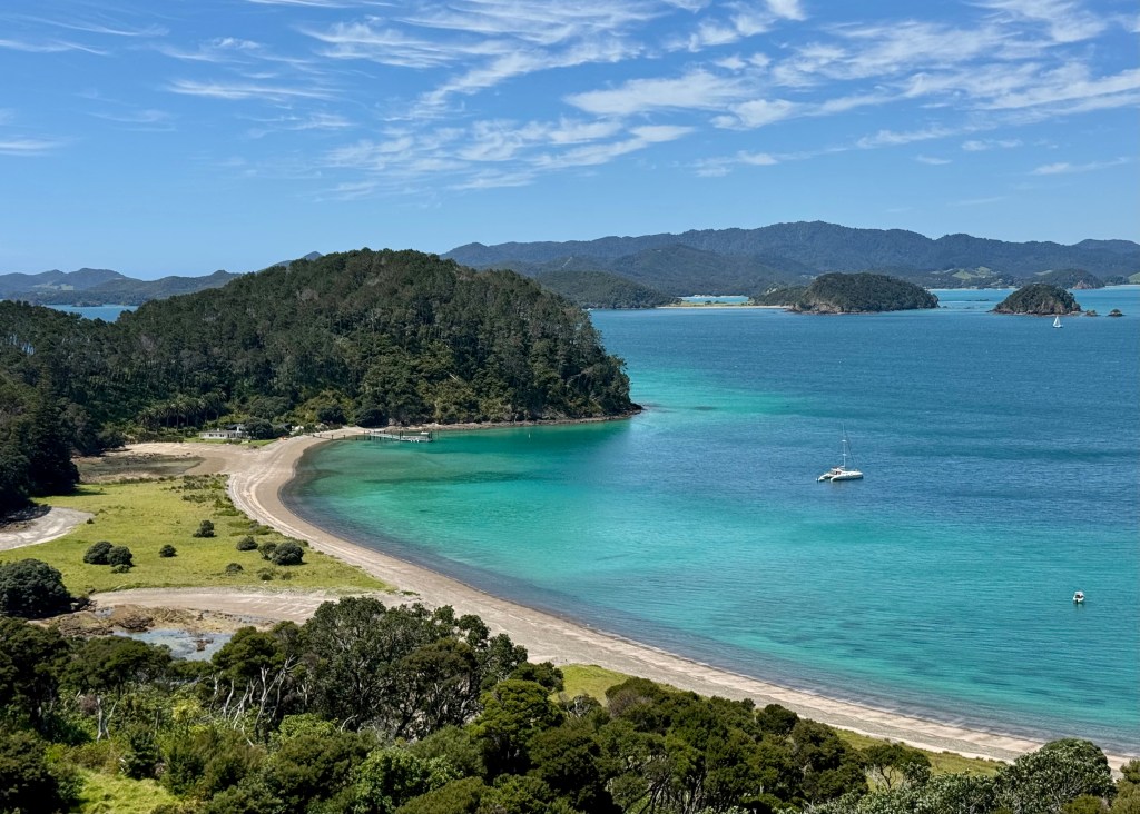
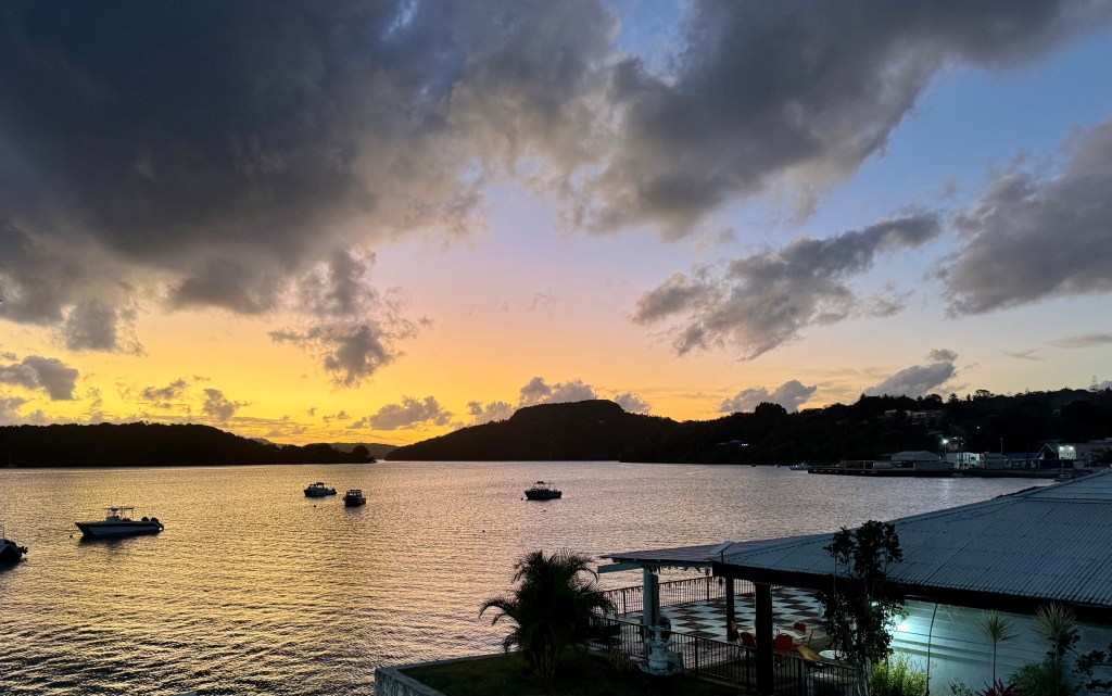
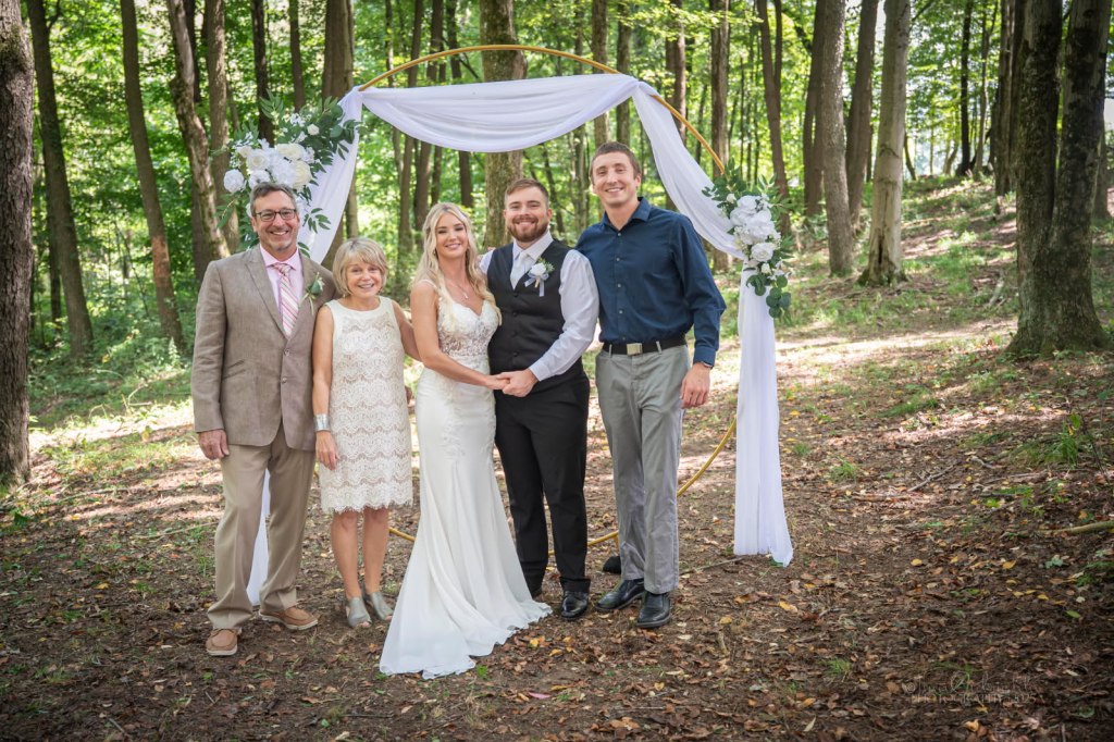


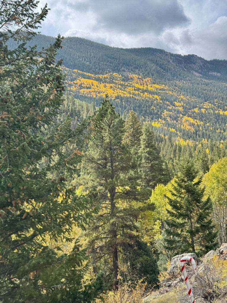
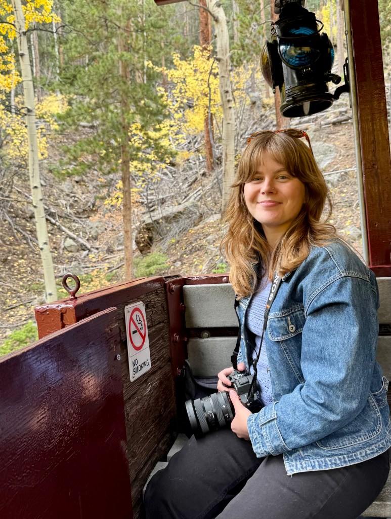
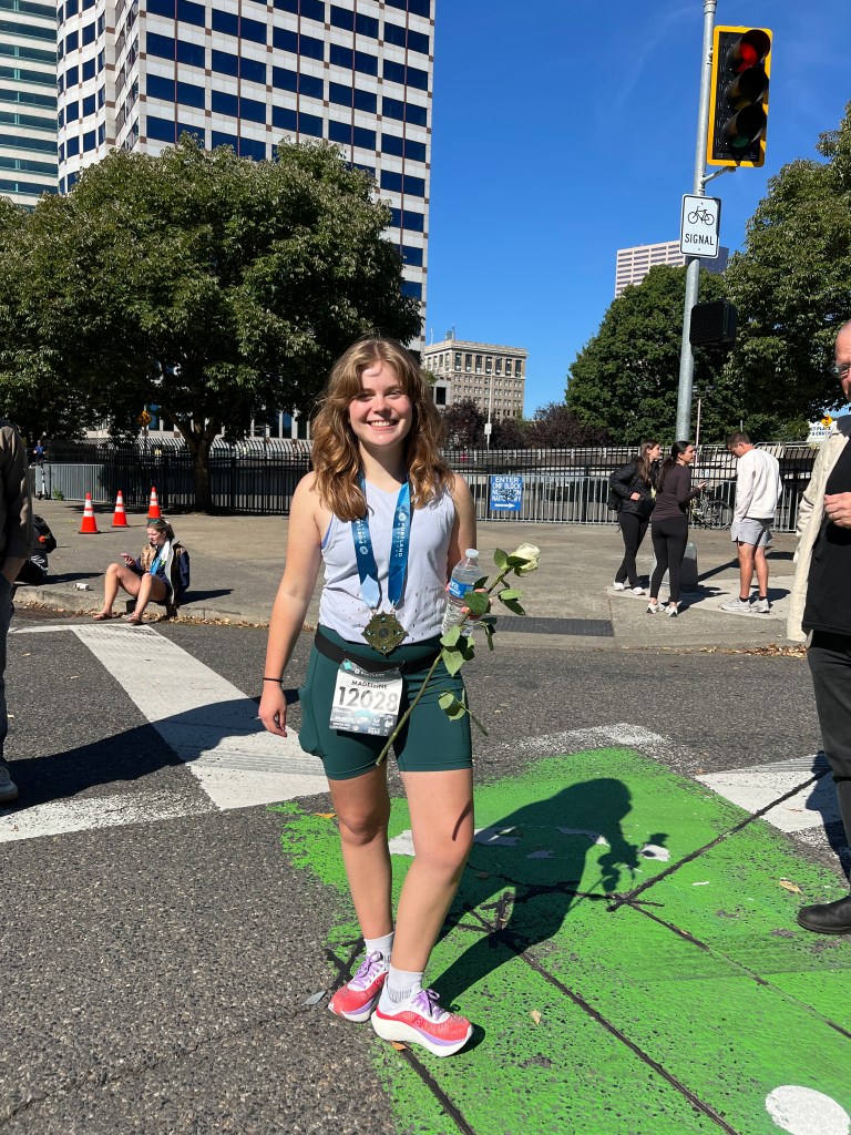
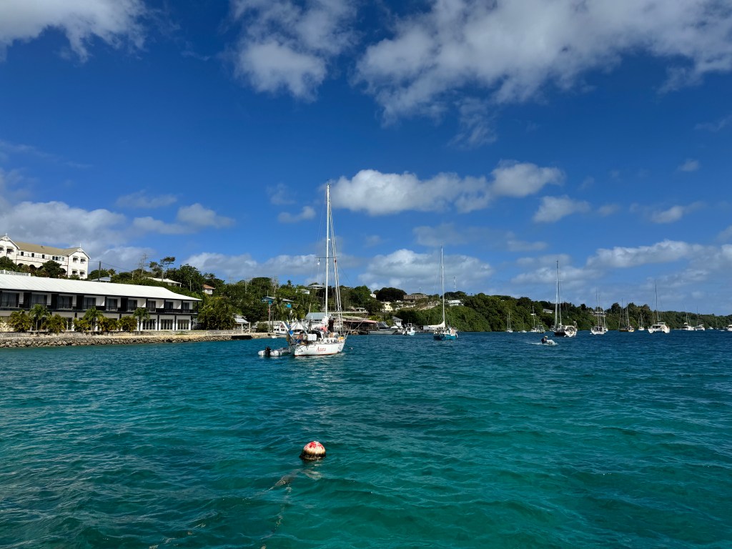
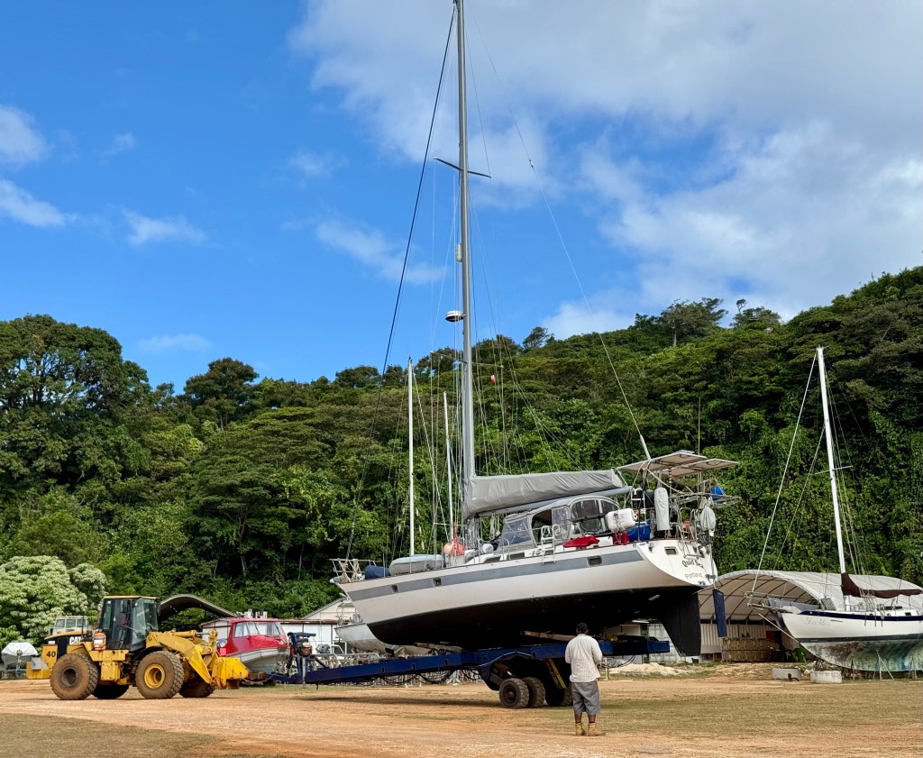
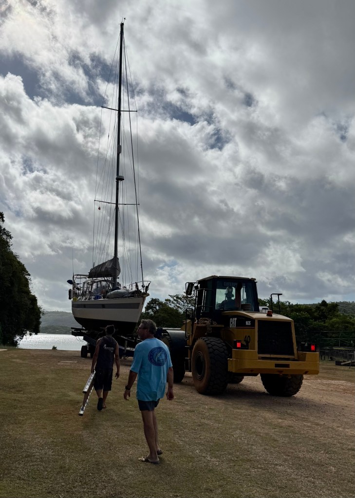

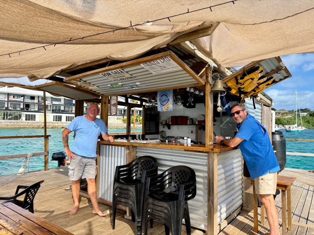

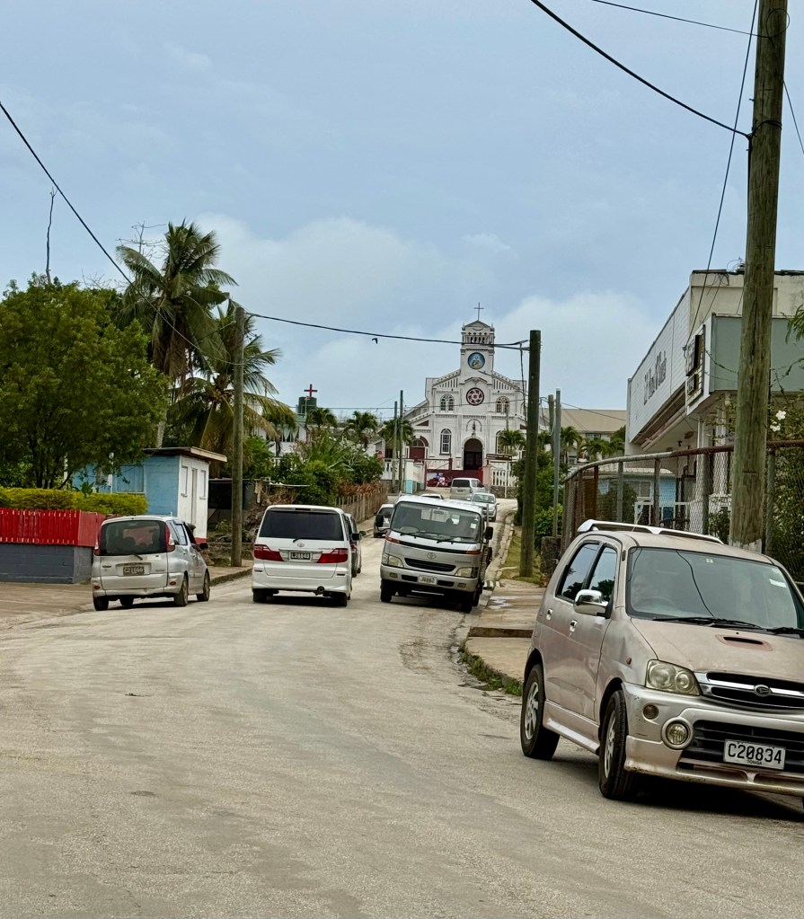
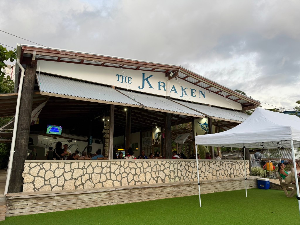
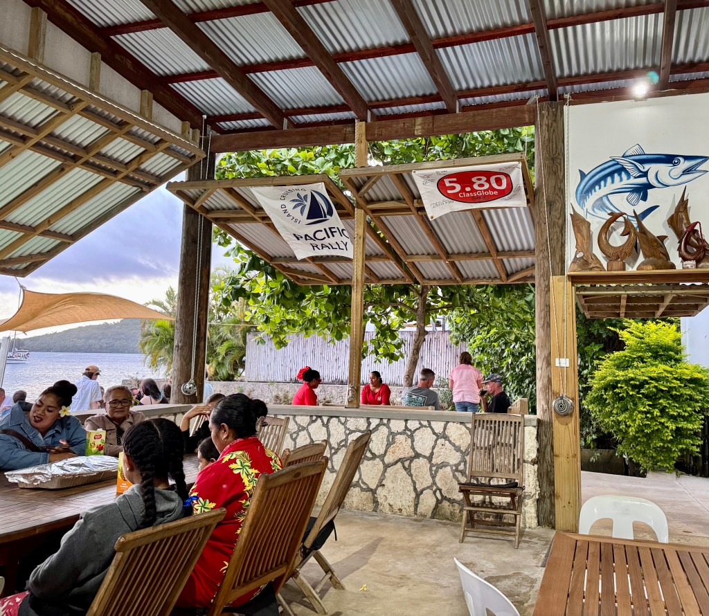
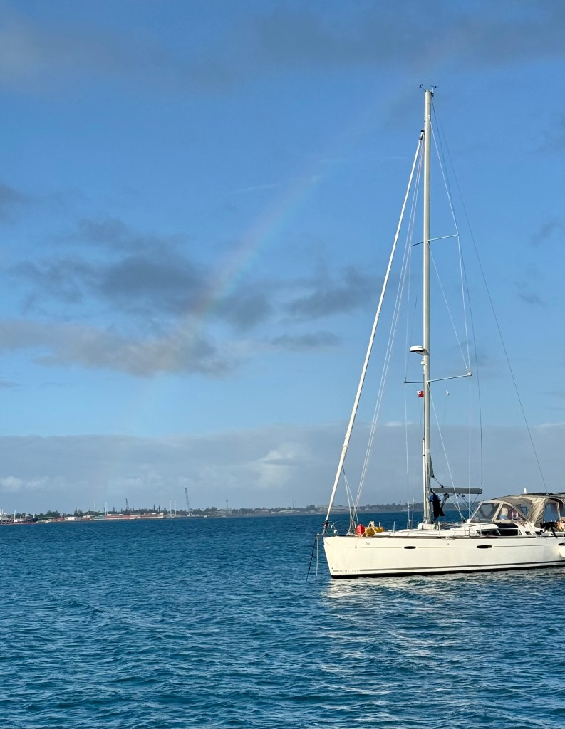
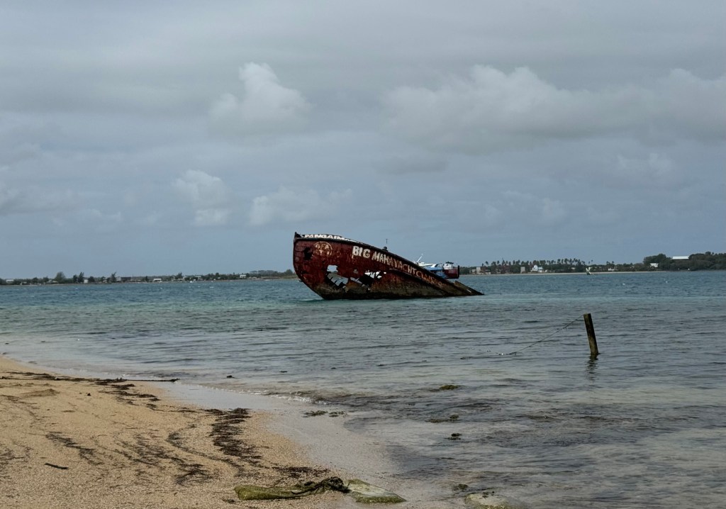
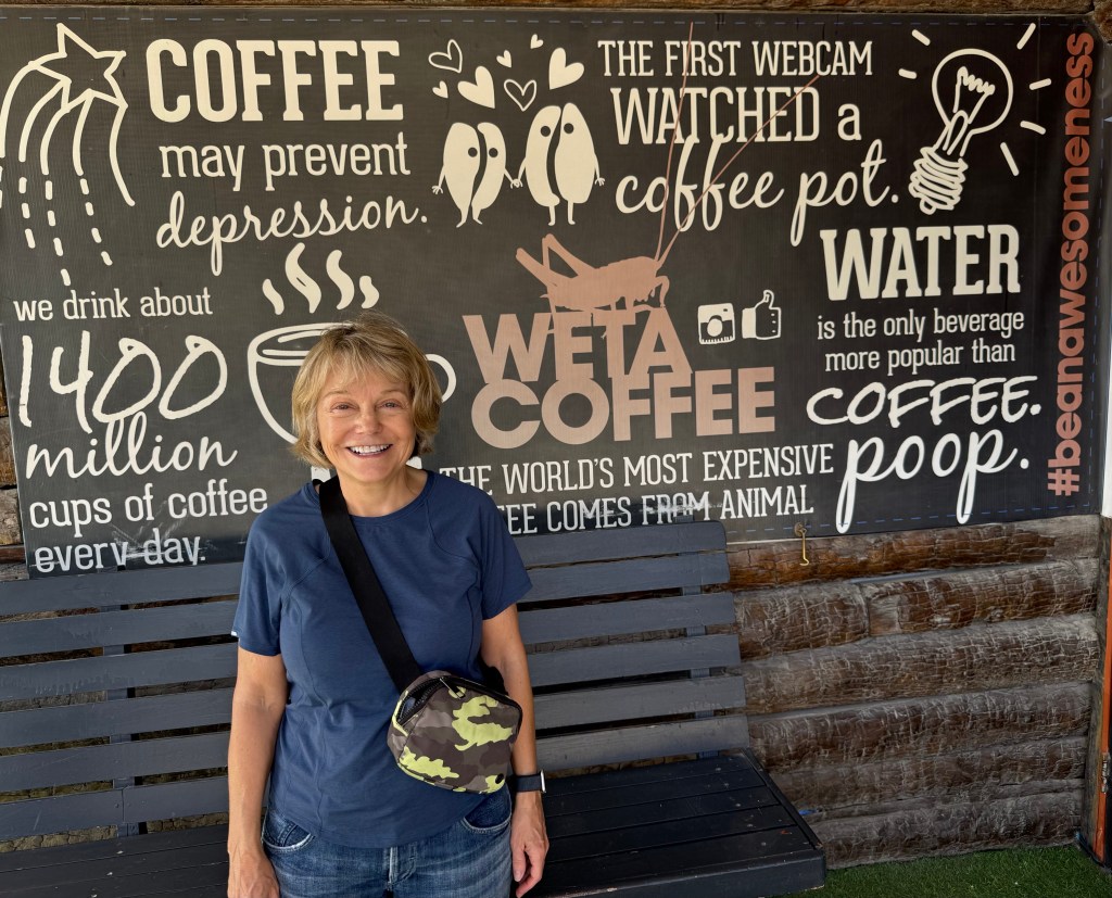
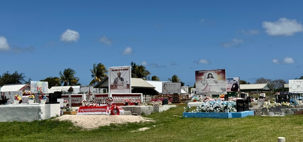
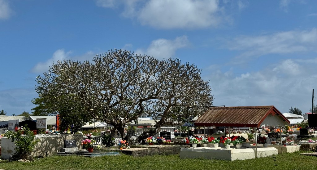
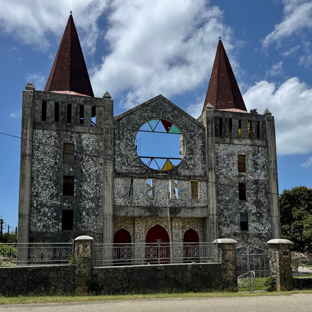
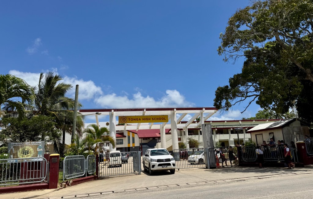
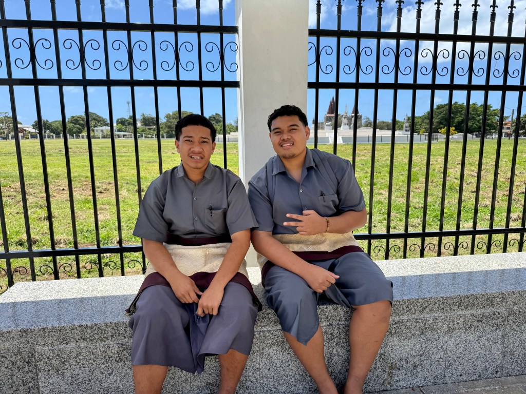

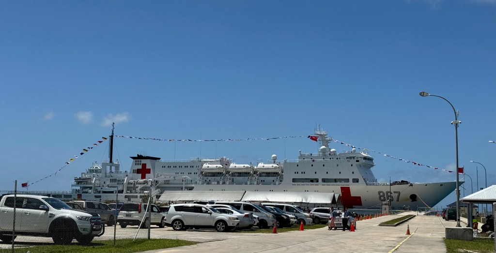
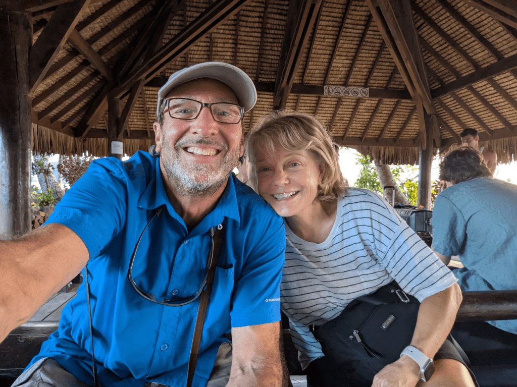
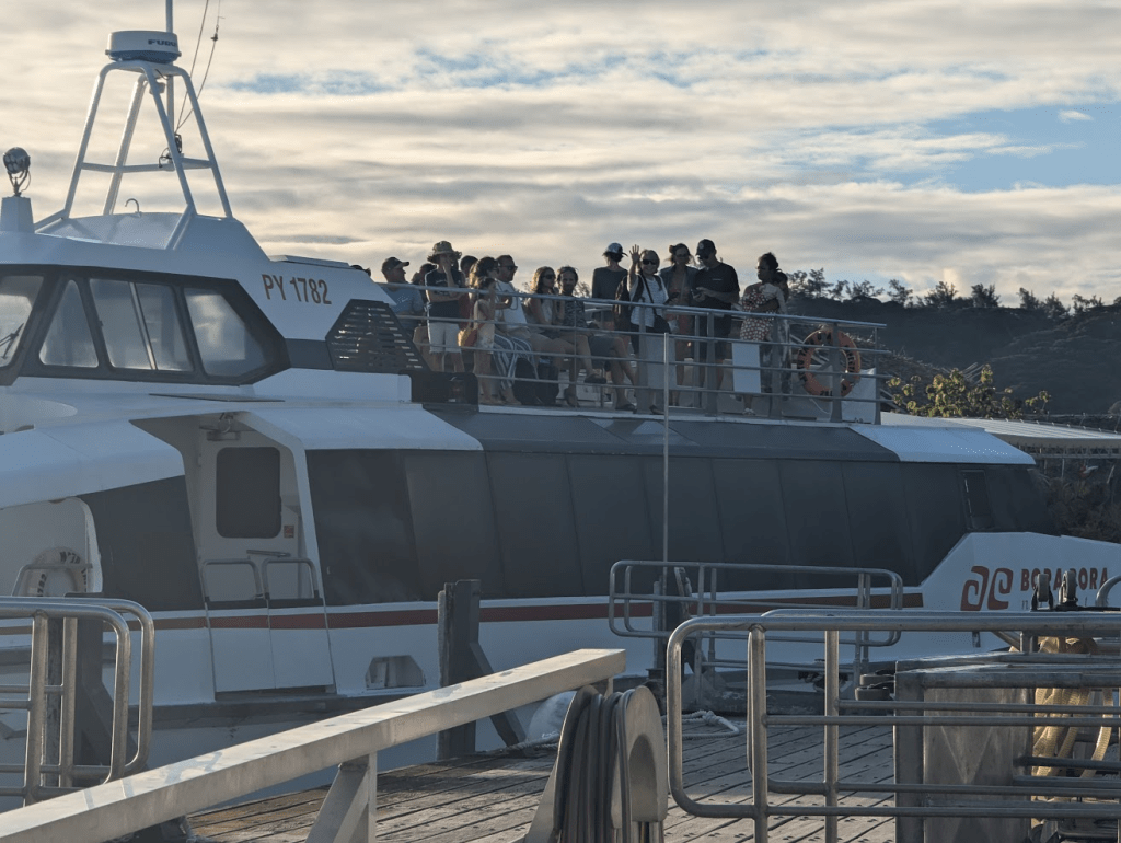
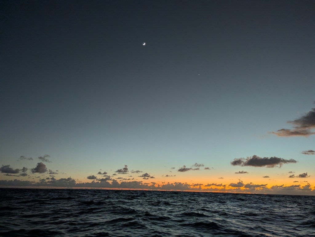
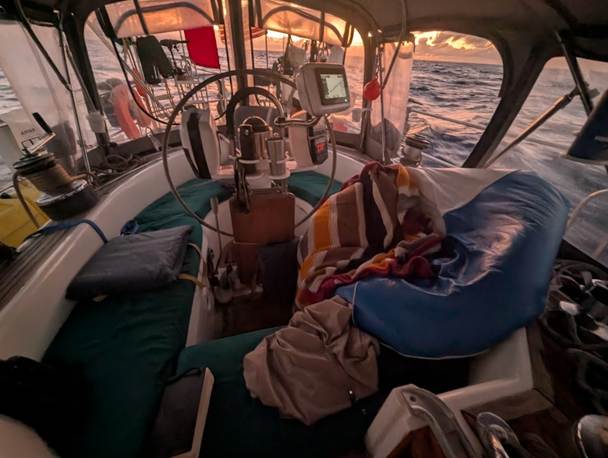
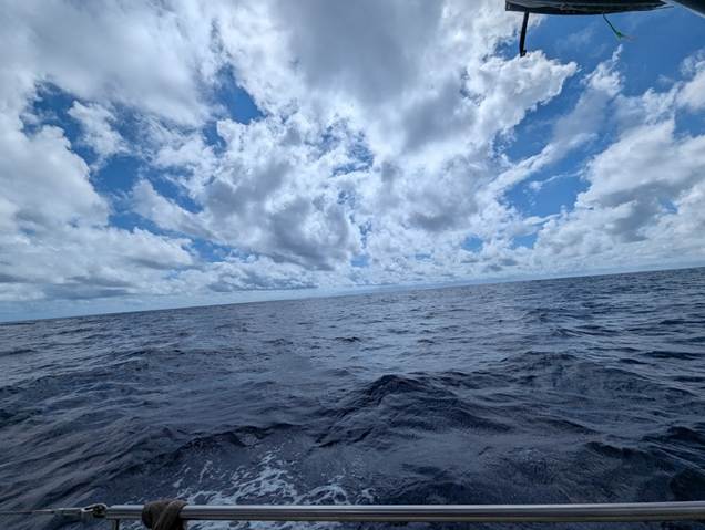
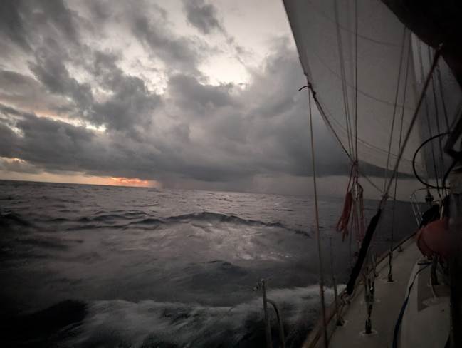

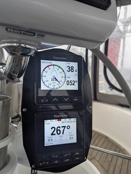
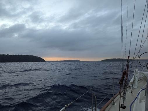
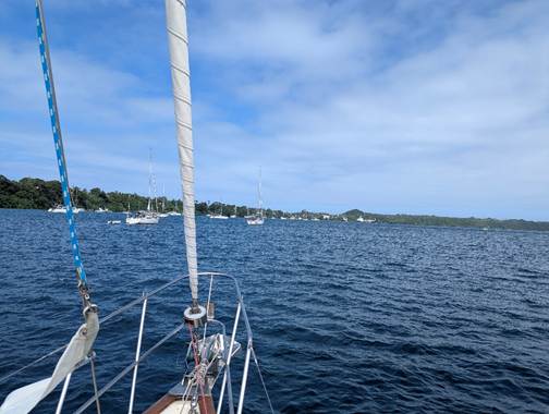

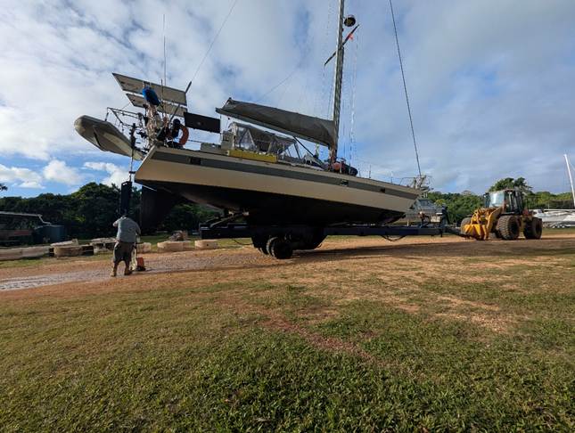
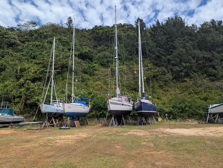
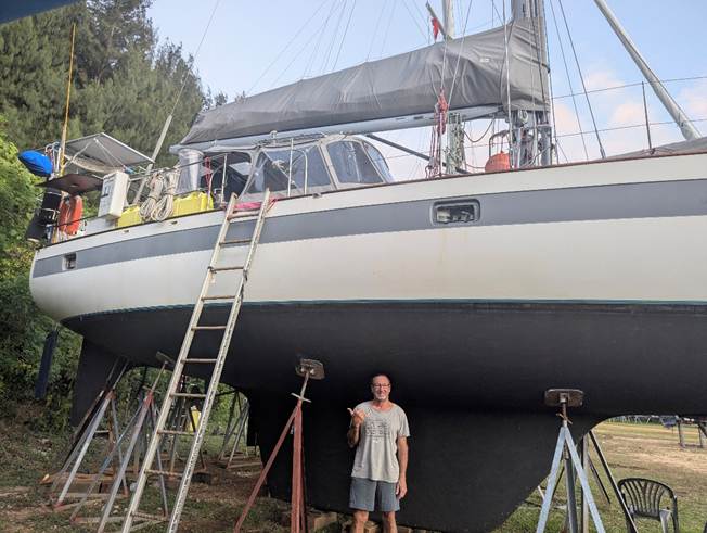

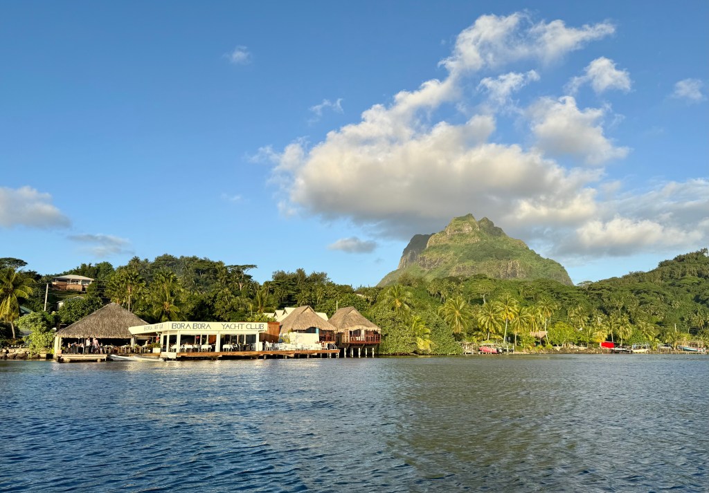
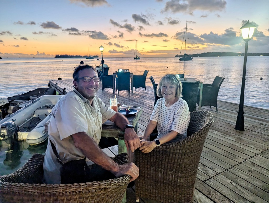
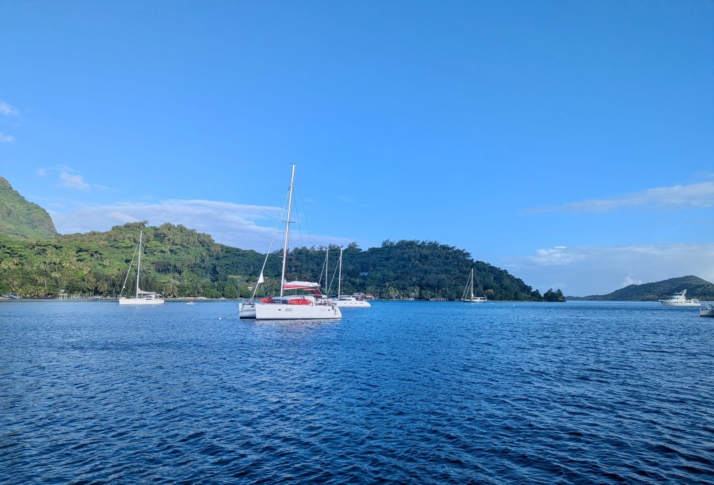
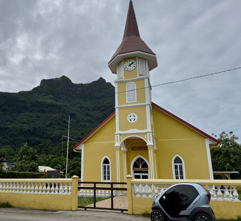
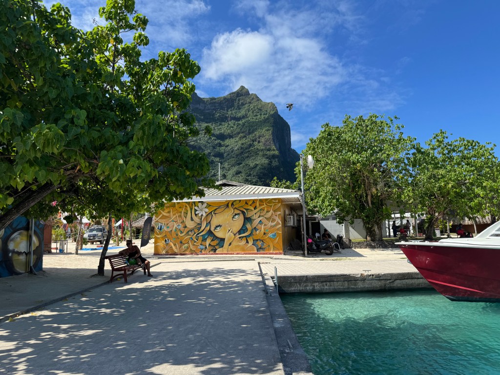
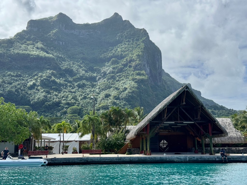
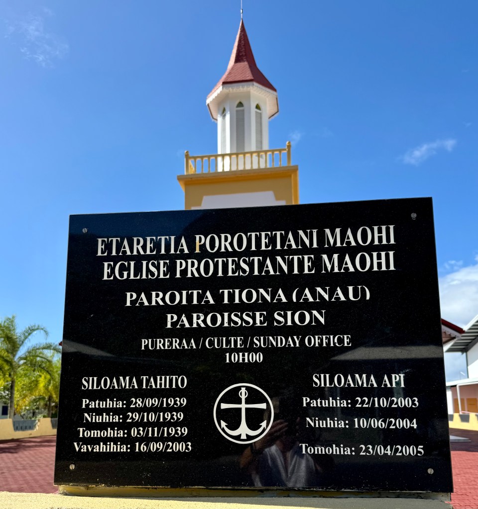
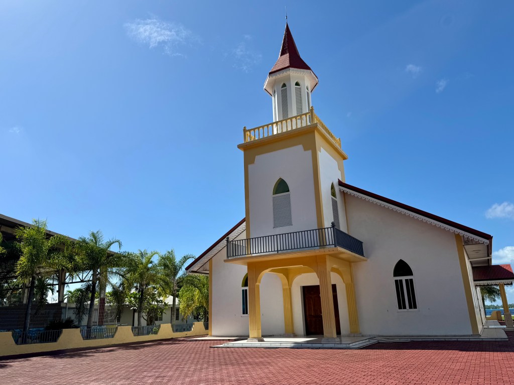


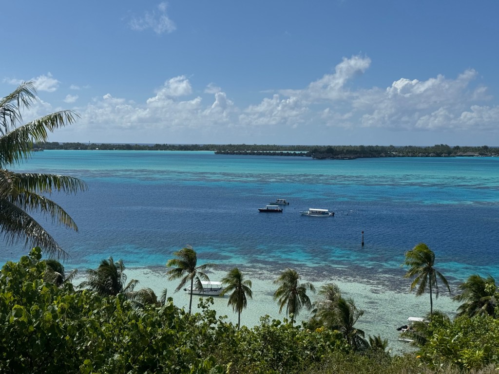
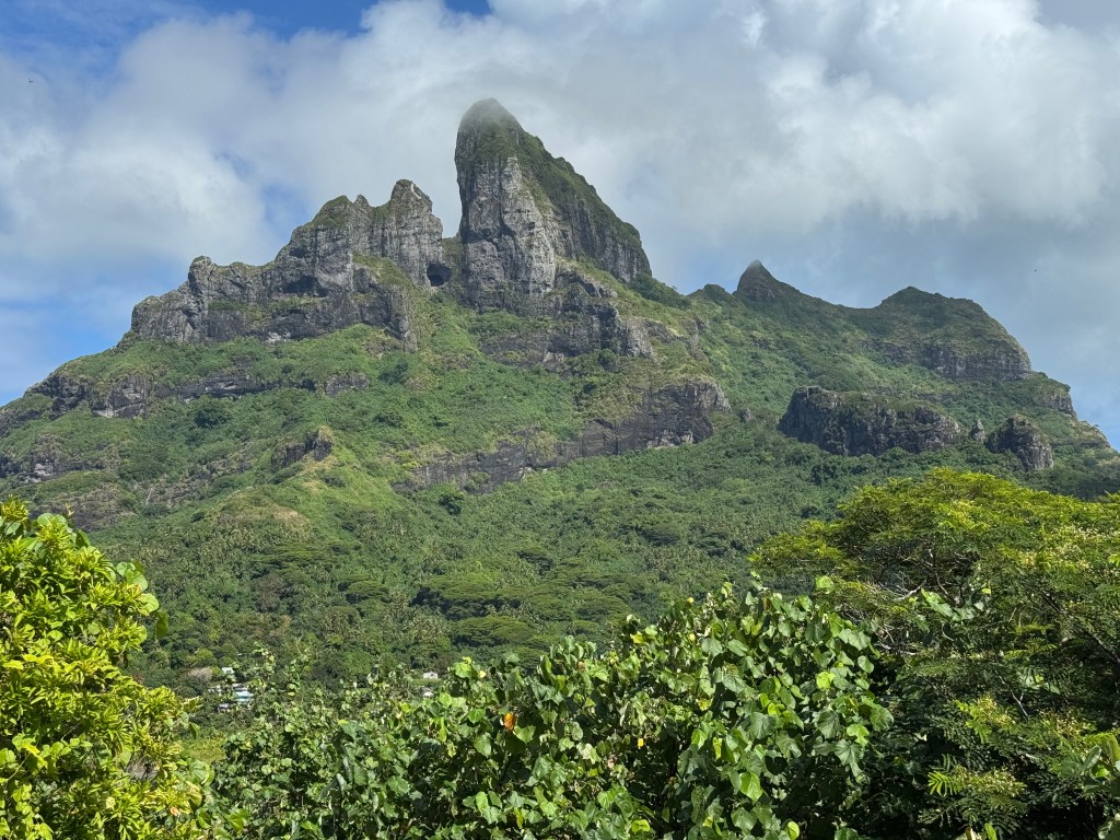
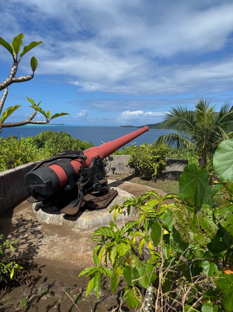
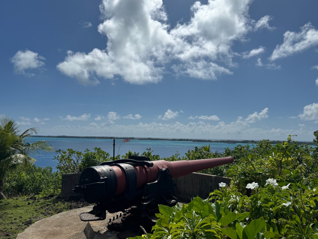
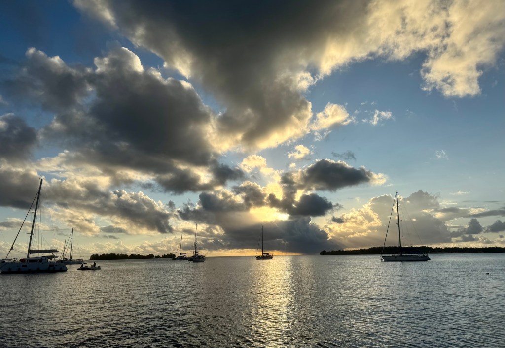
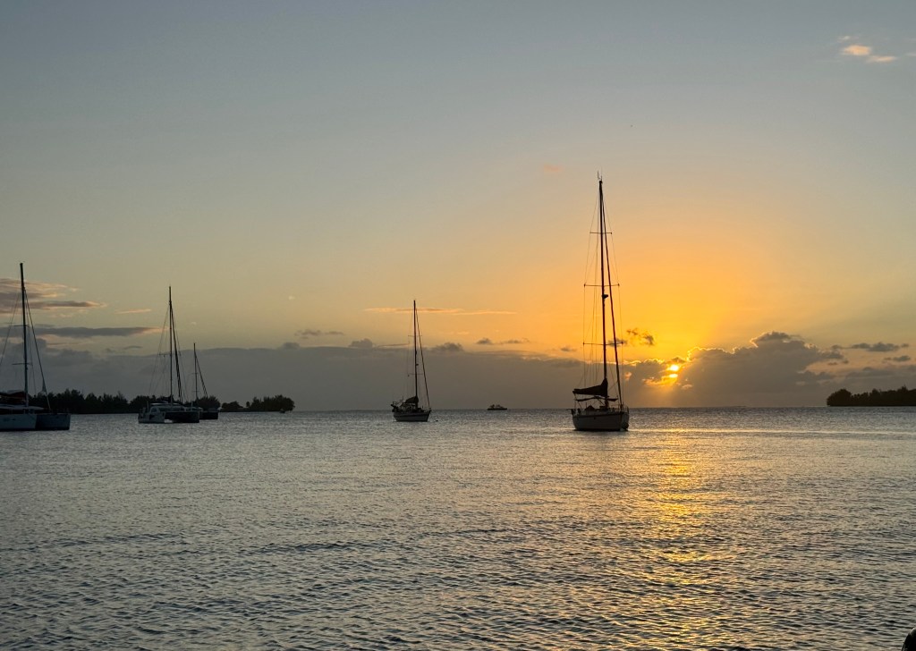
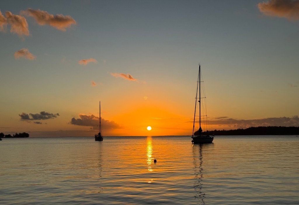
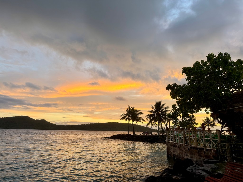
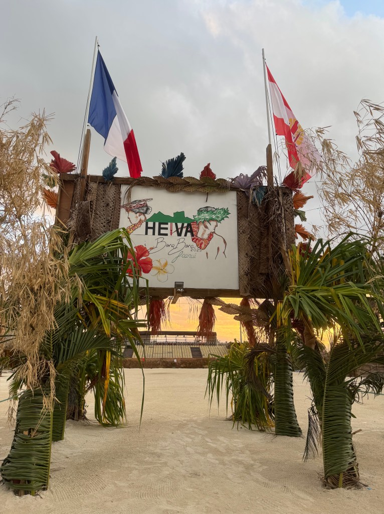
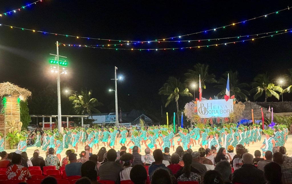
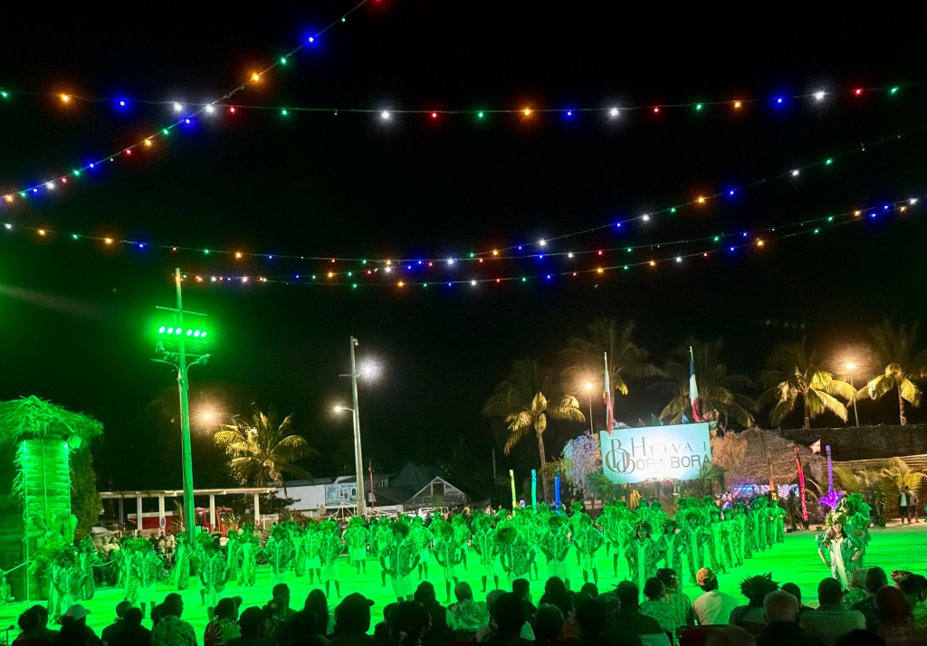
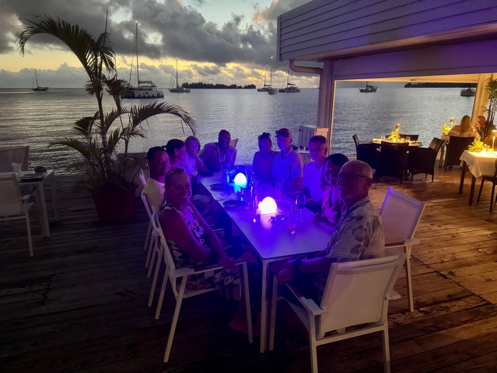
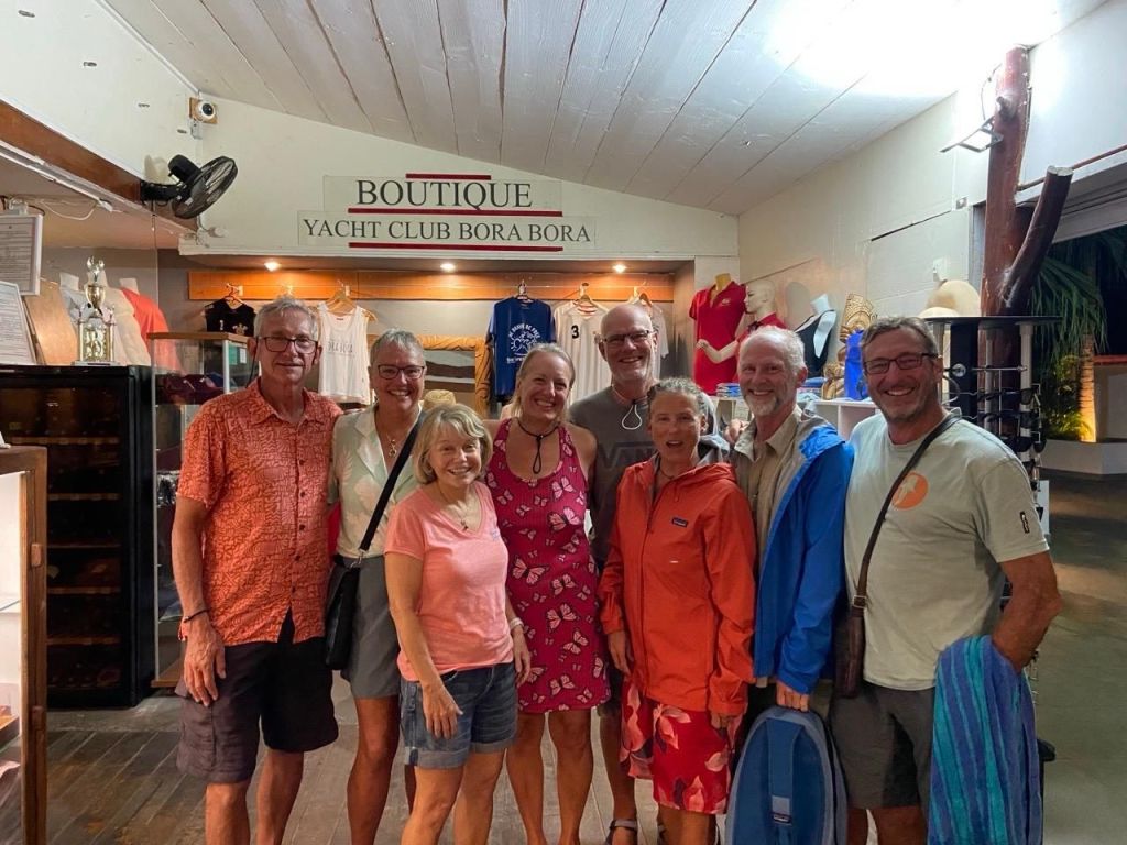
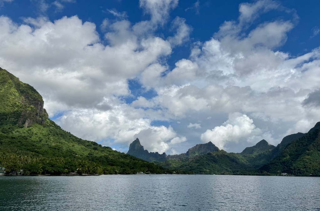
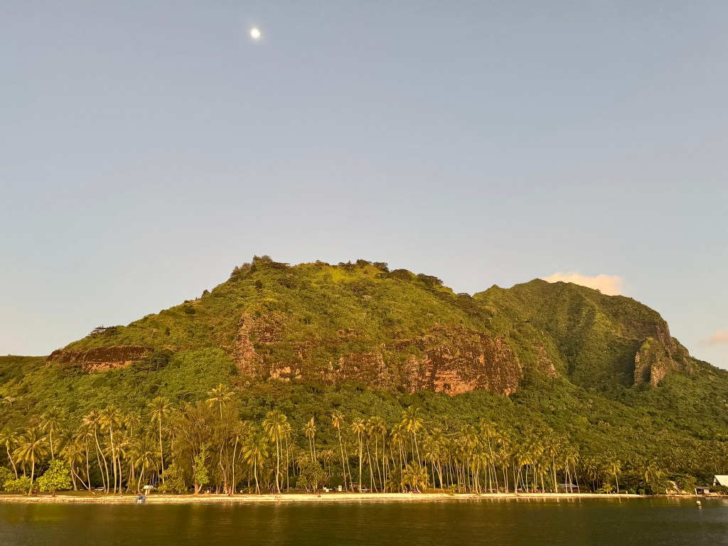
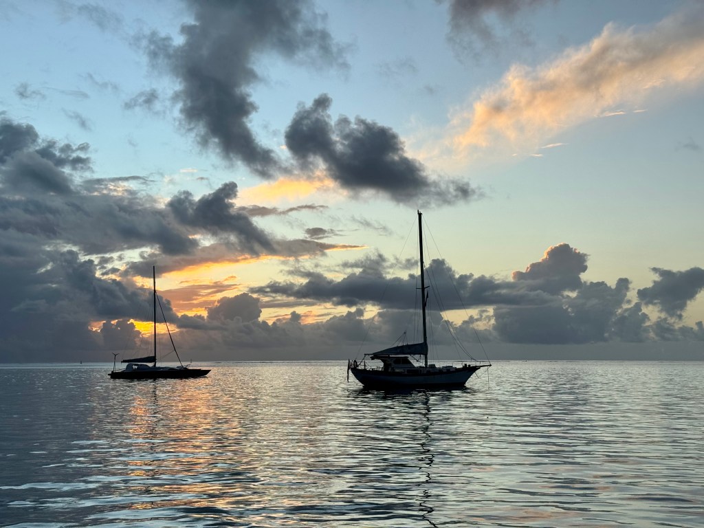
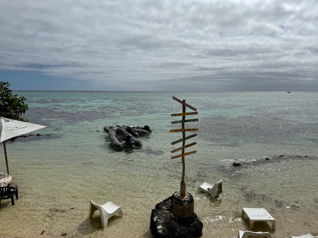
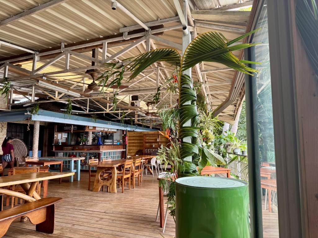
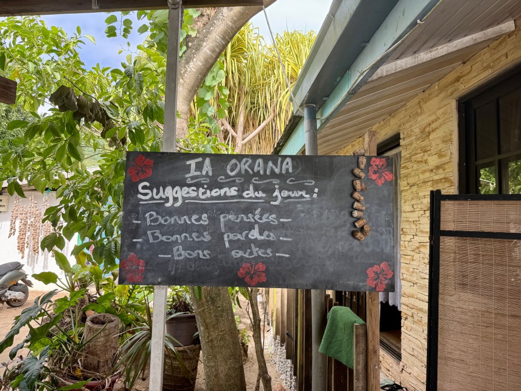
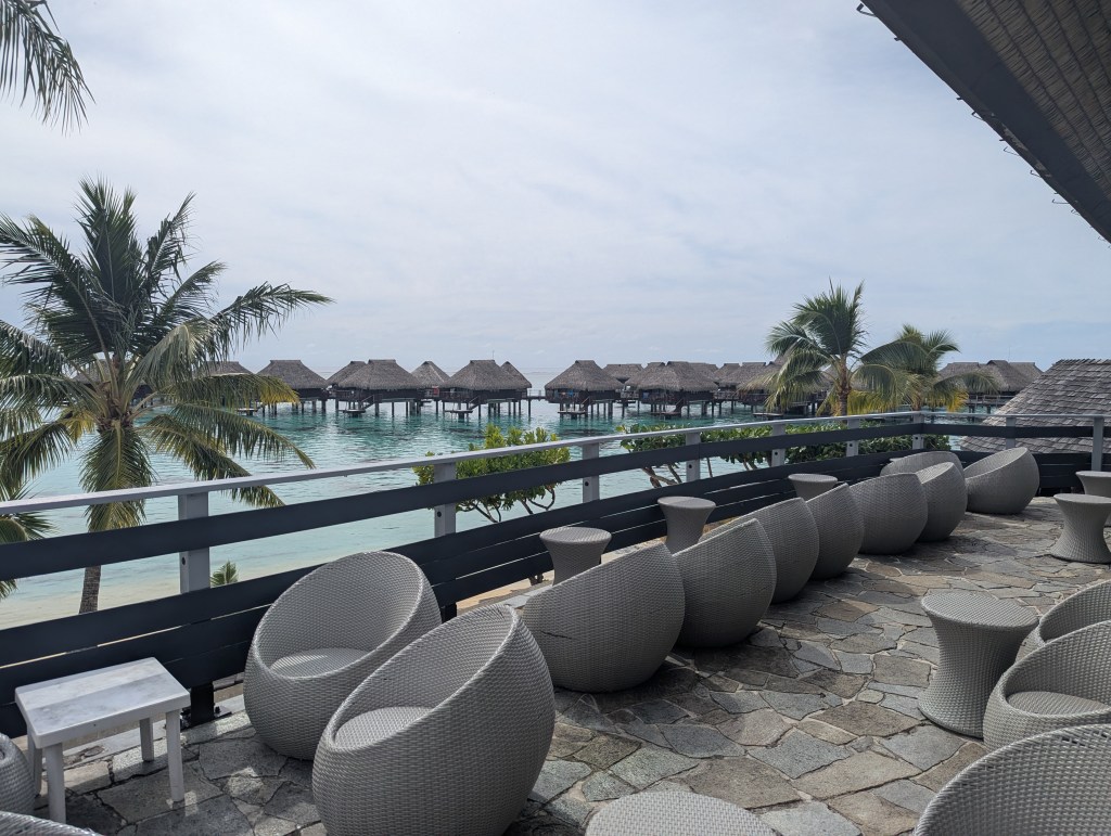
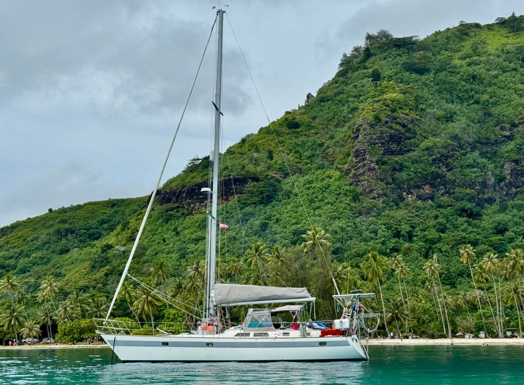
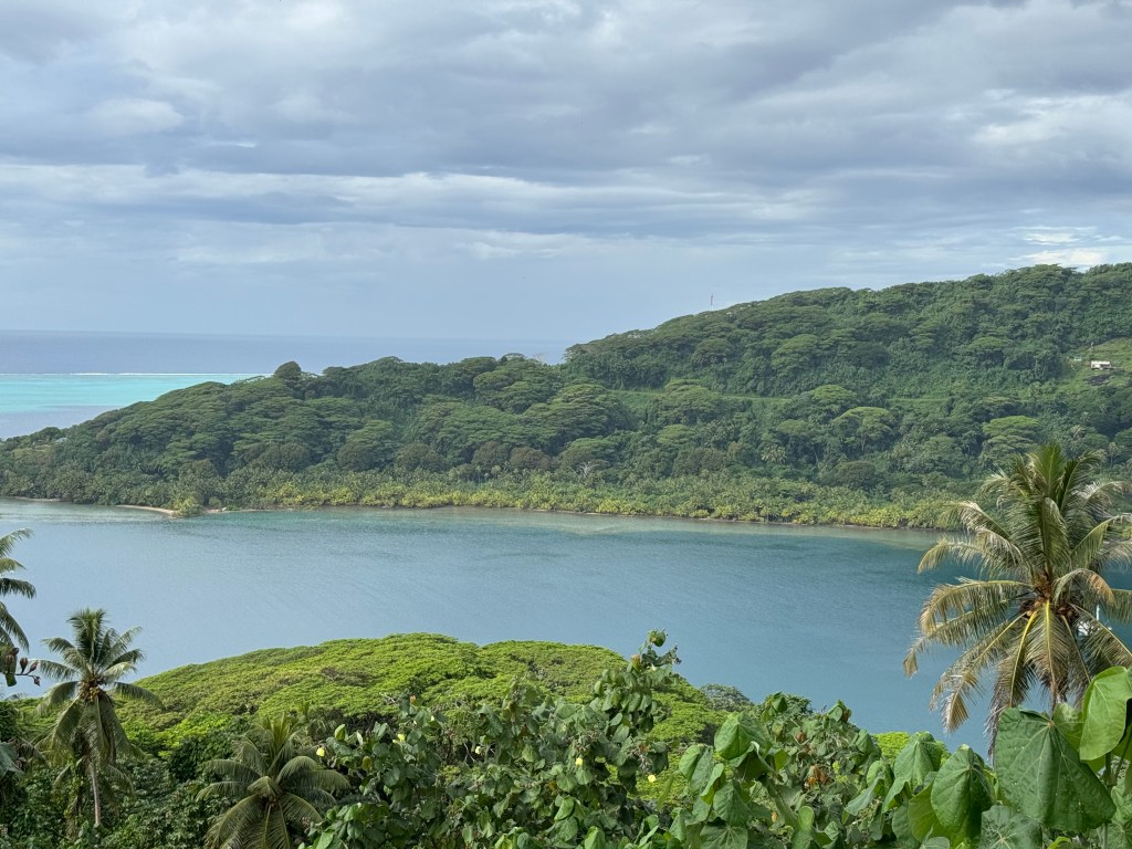
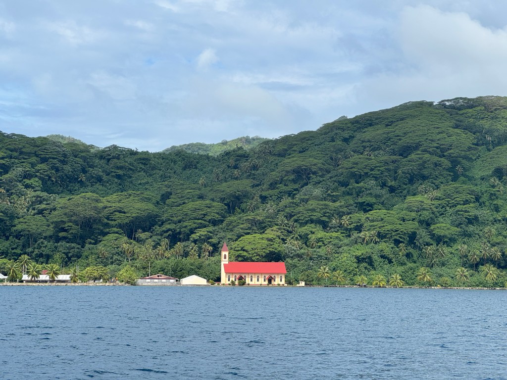
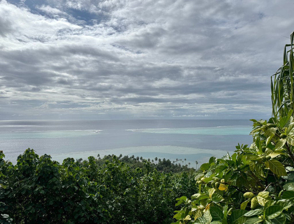
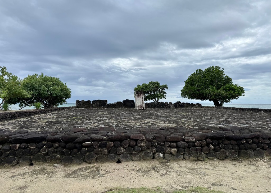
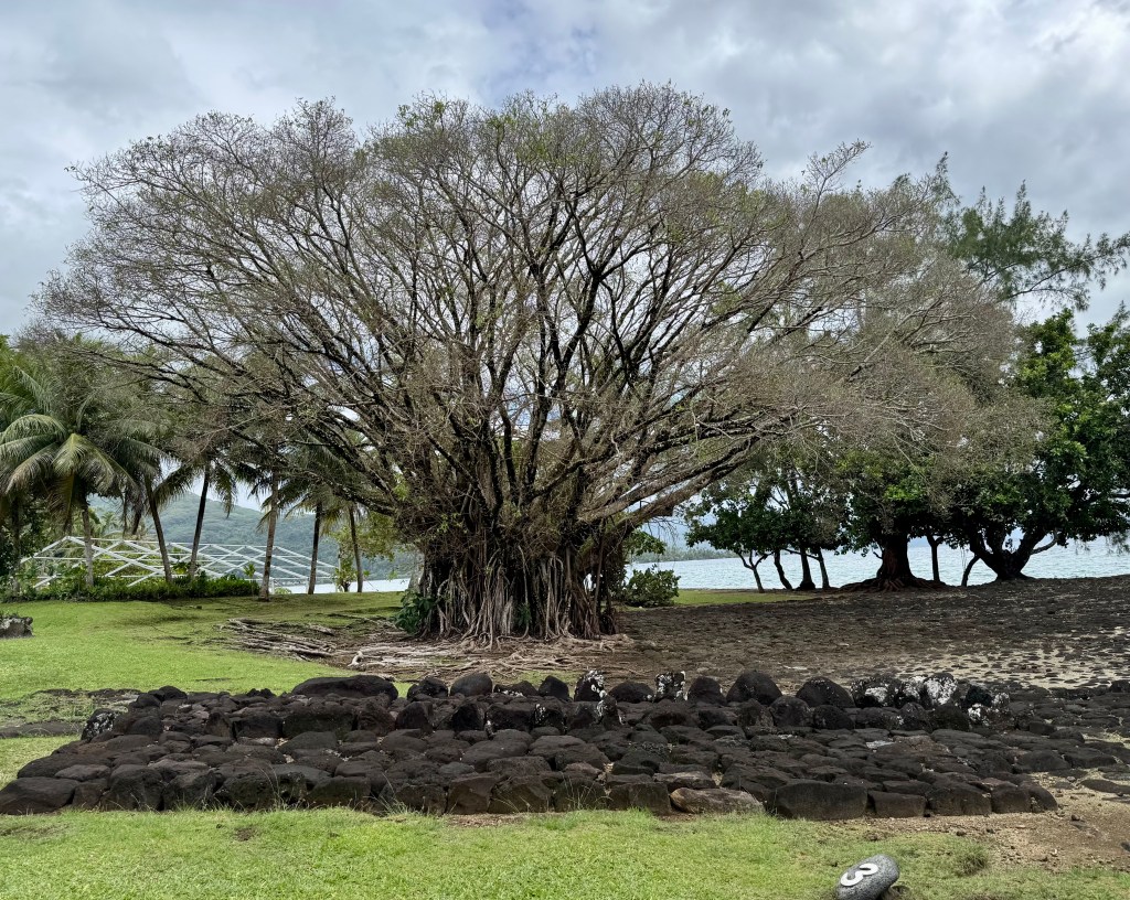
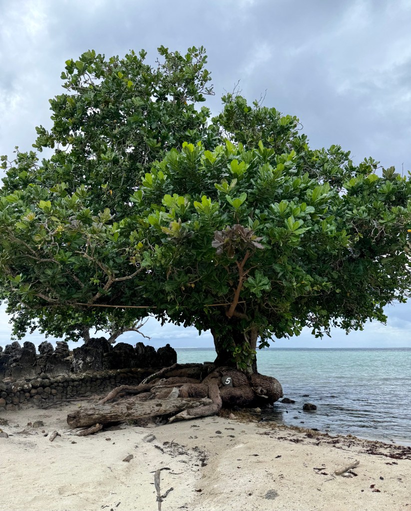
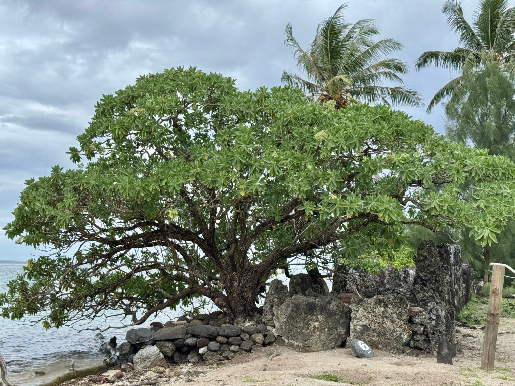
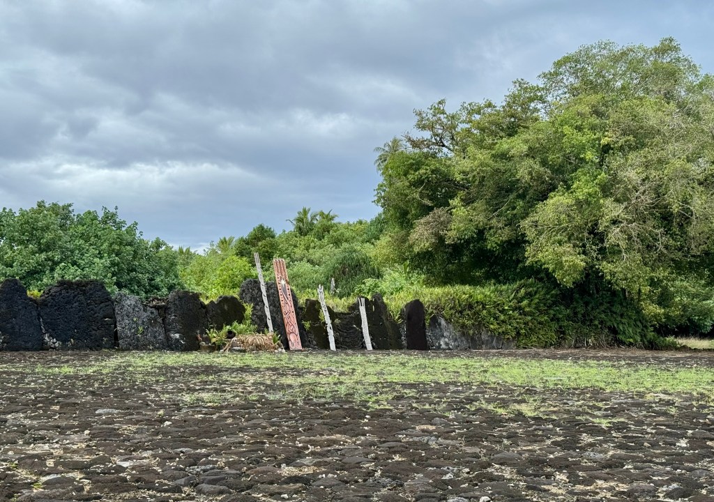
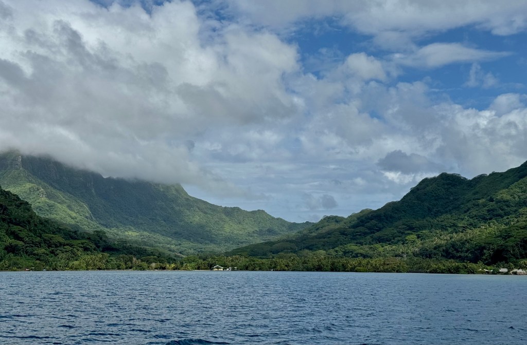
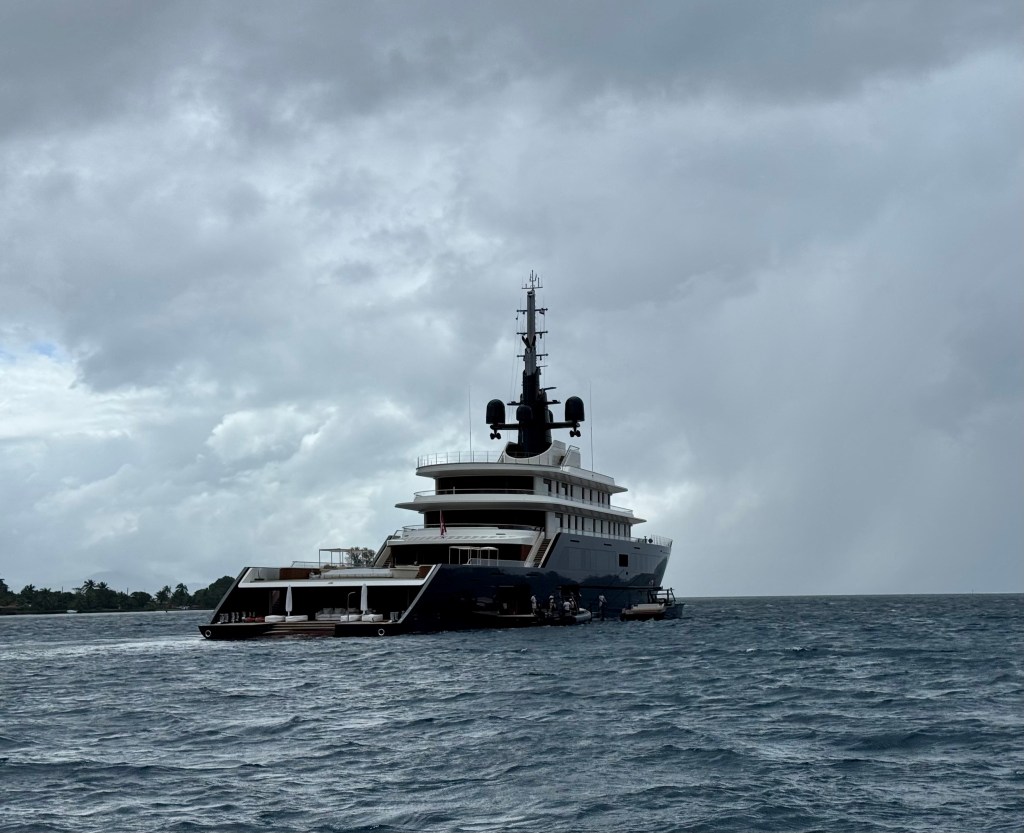
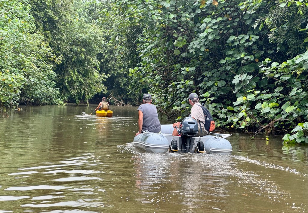
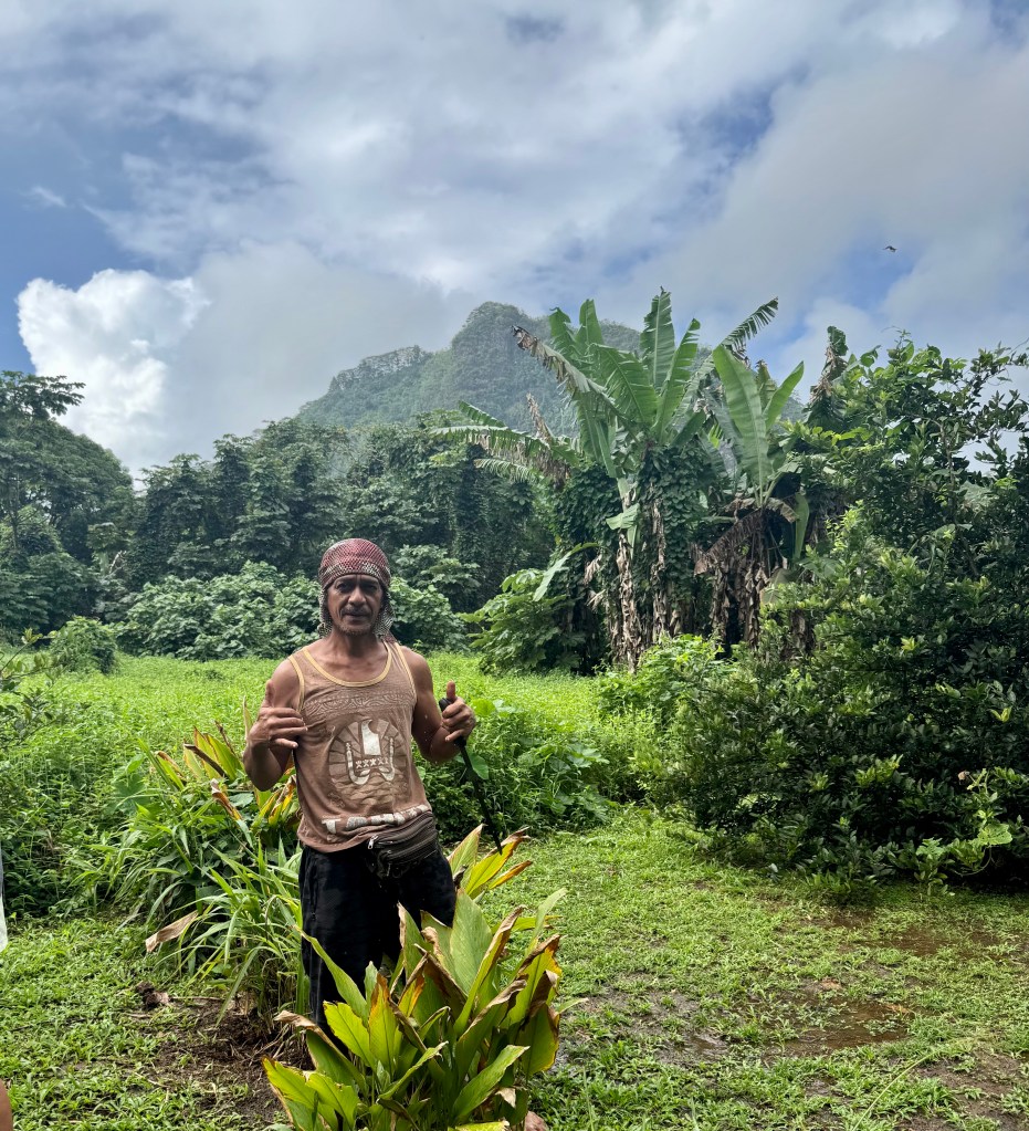
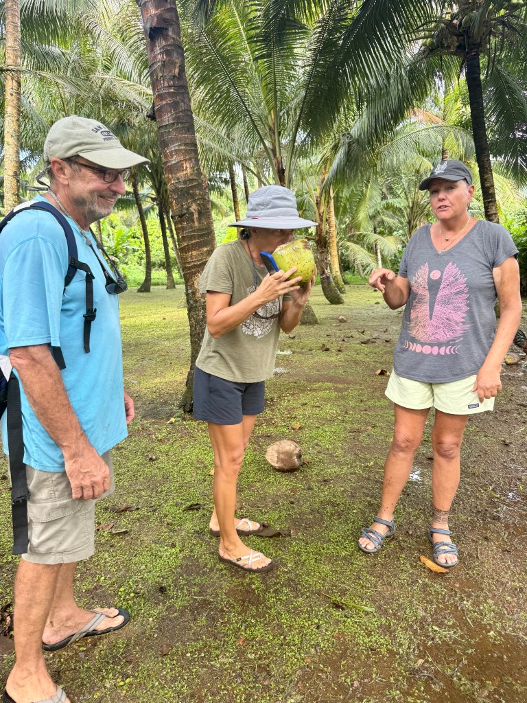
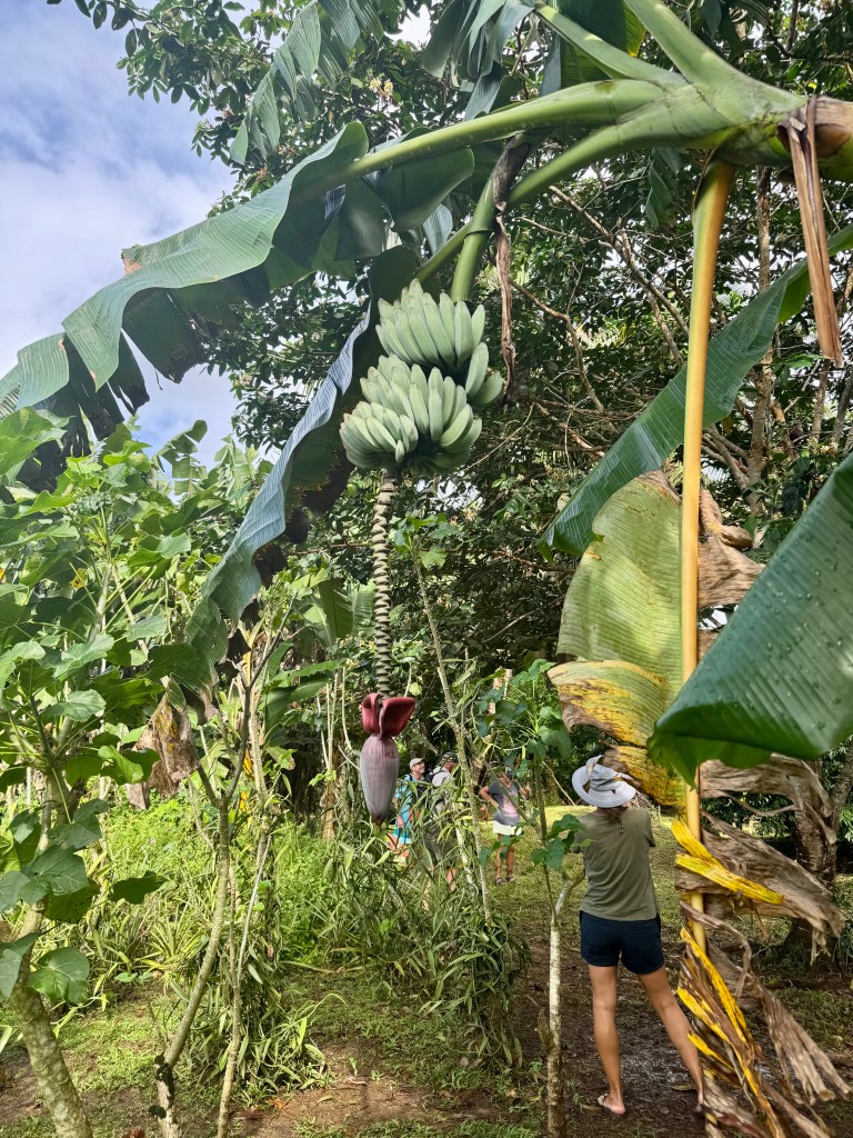

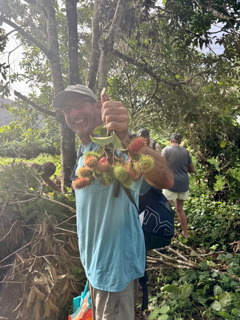
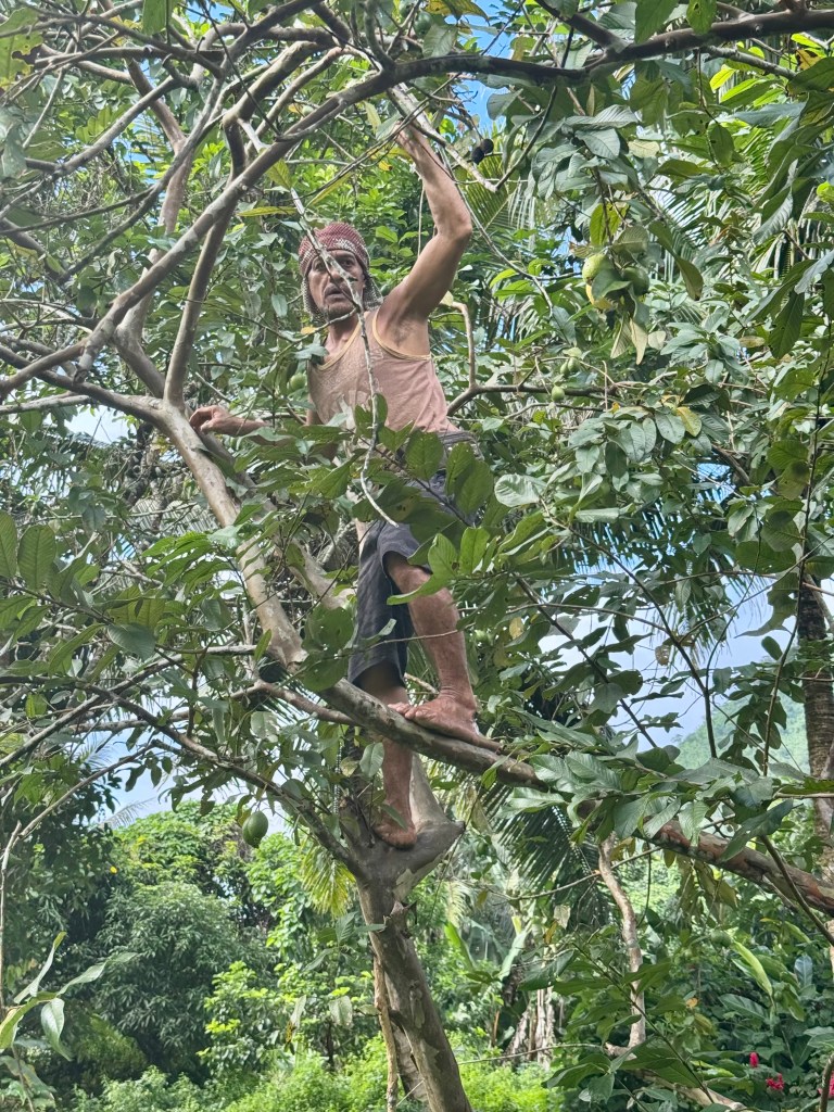
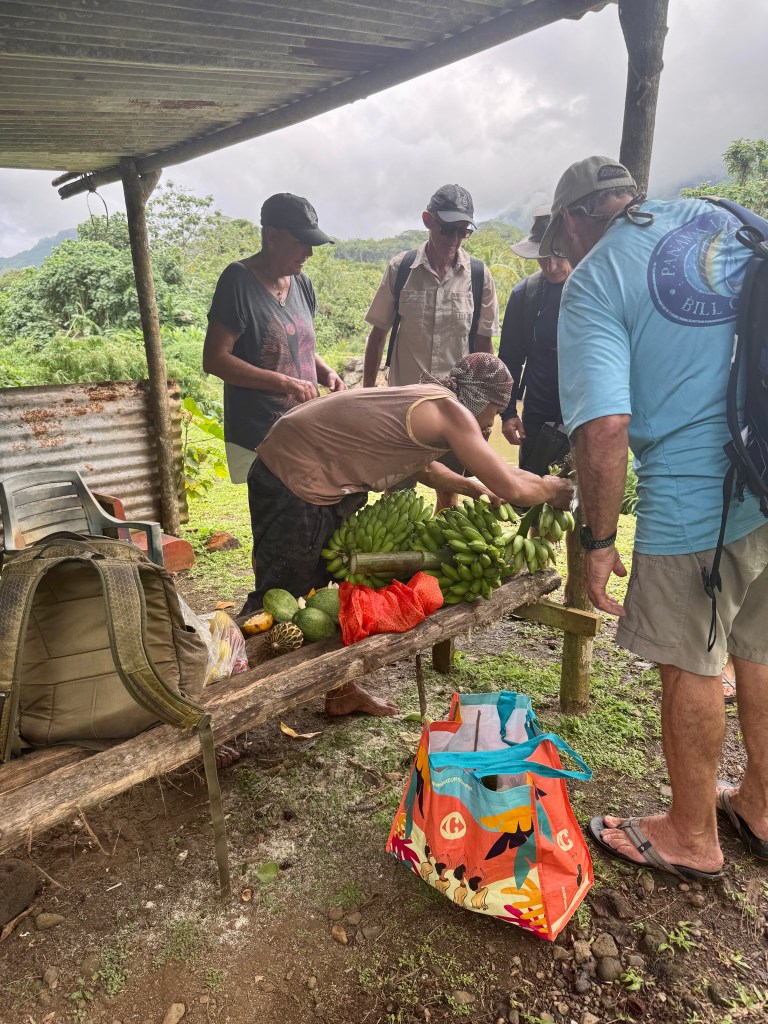
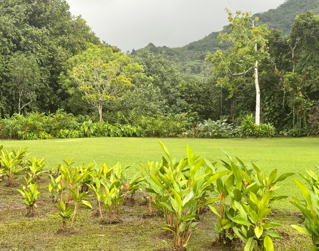
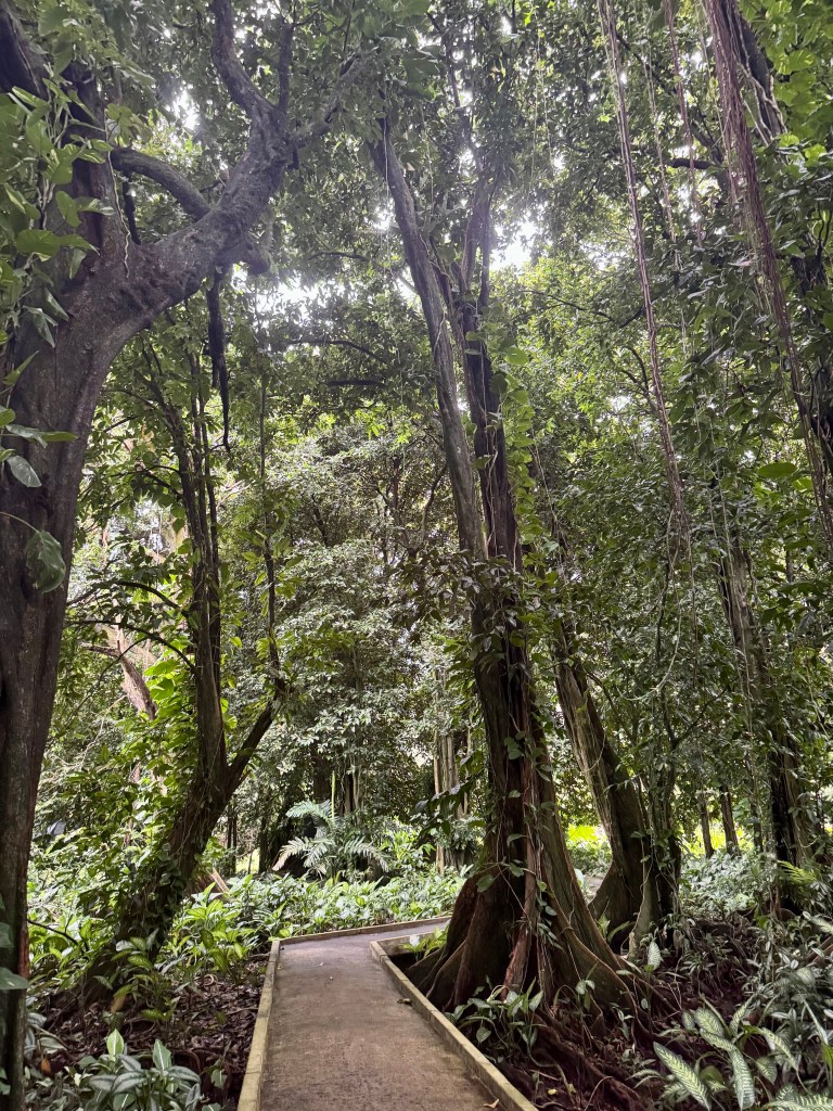
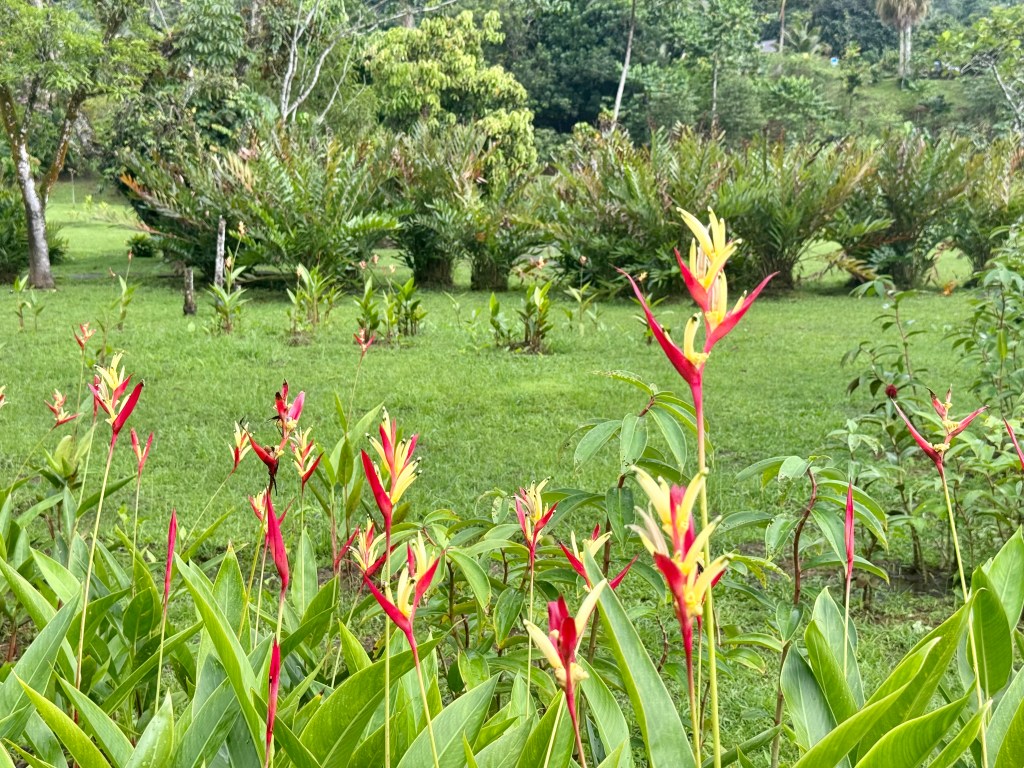
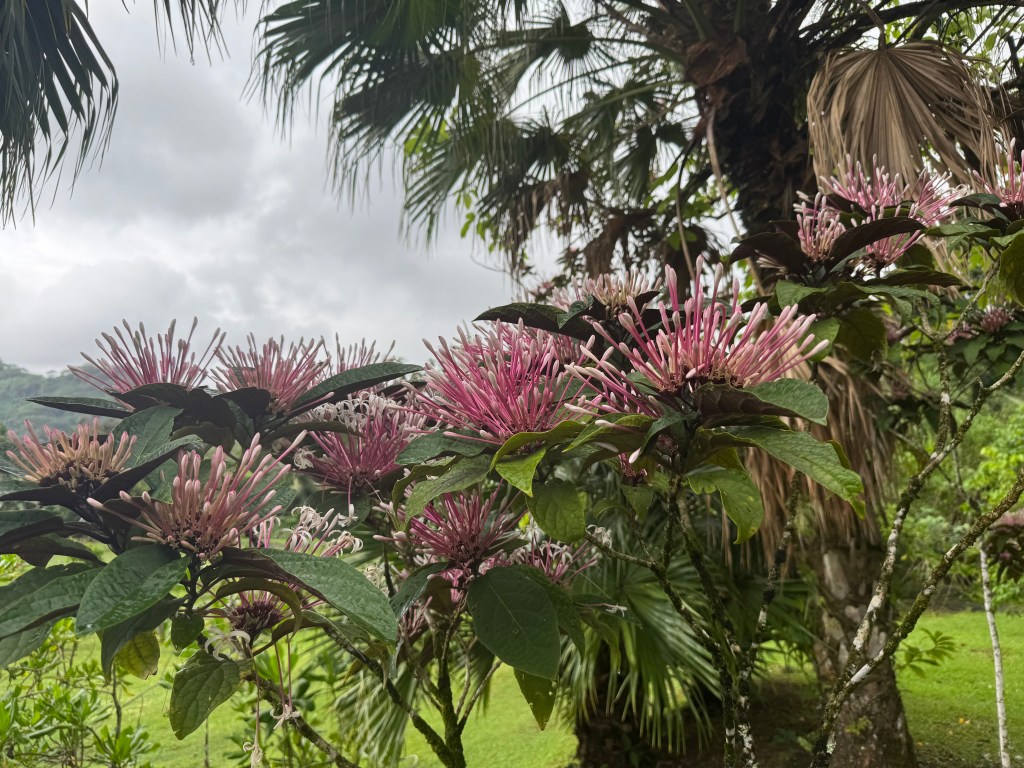
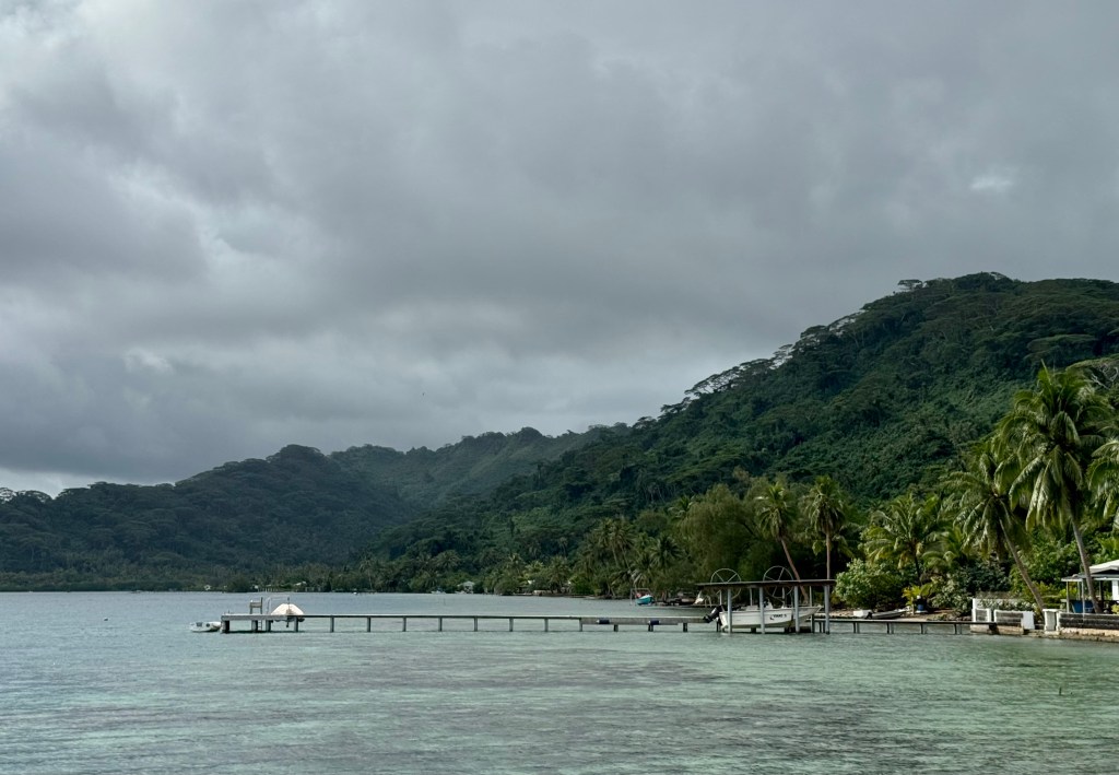
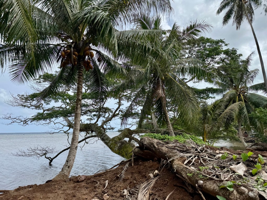
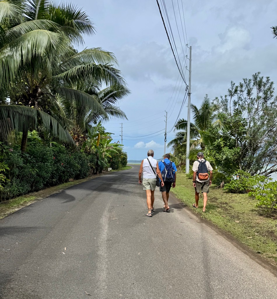
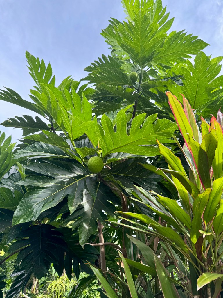
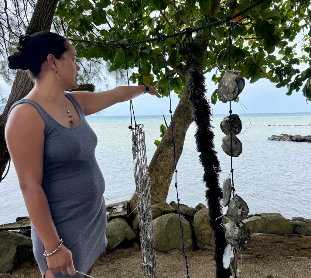
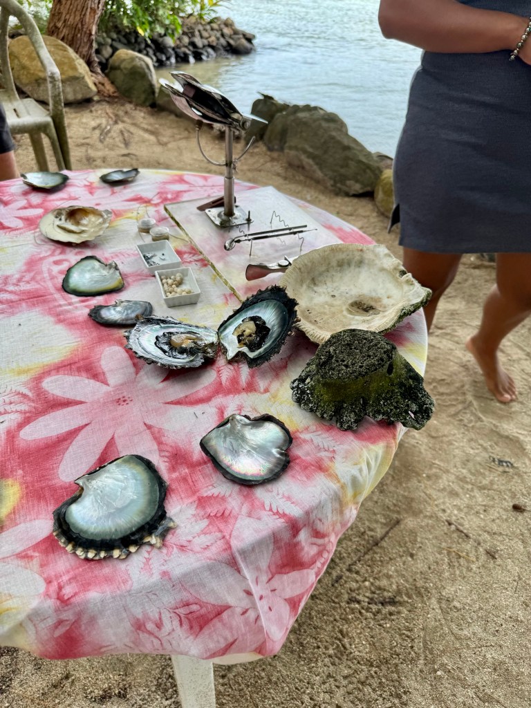
 SV Quid Sea - Sailing with Tracy and Cindy