Bora Bora

Our early view of Bora Bora as we were sailing towards the Island.

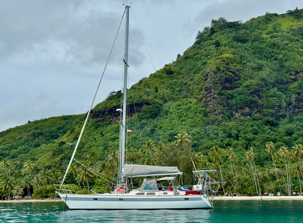
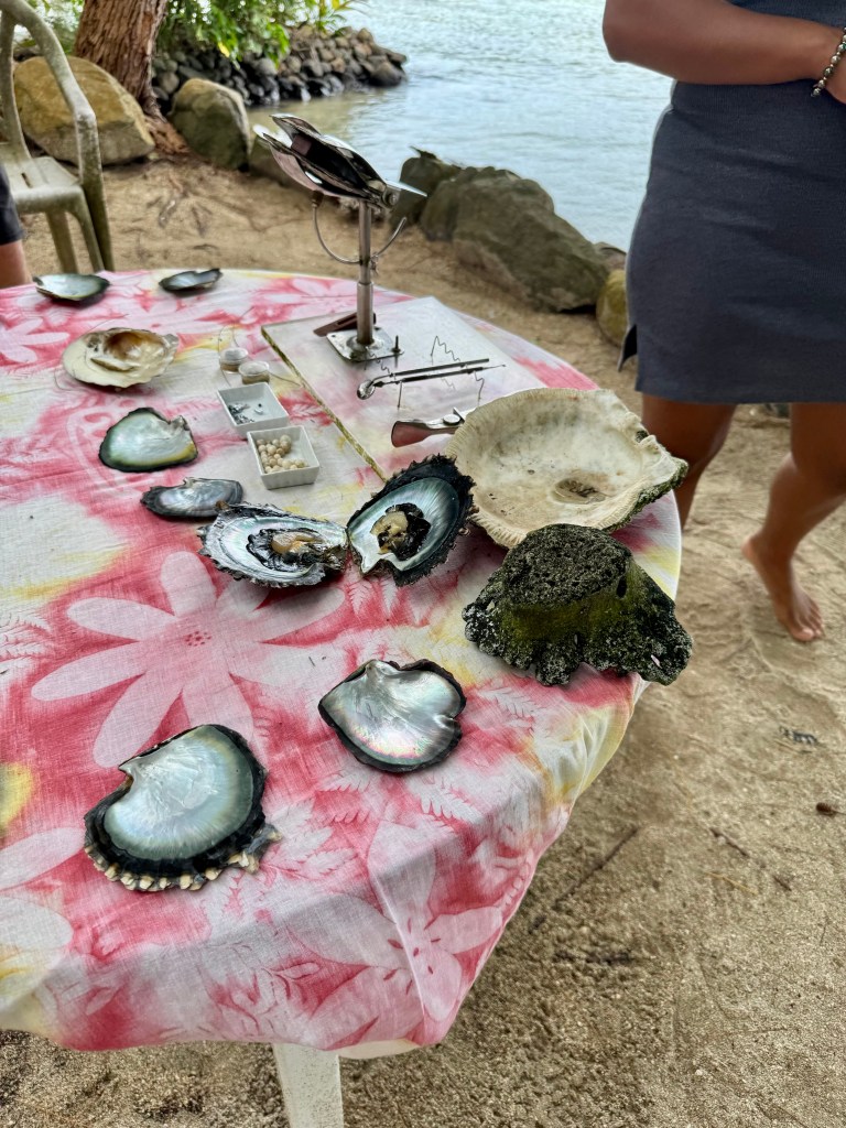
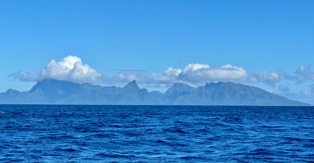
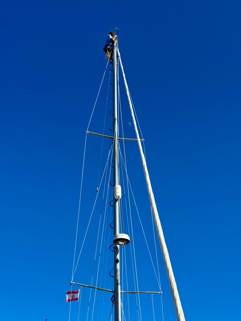
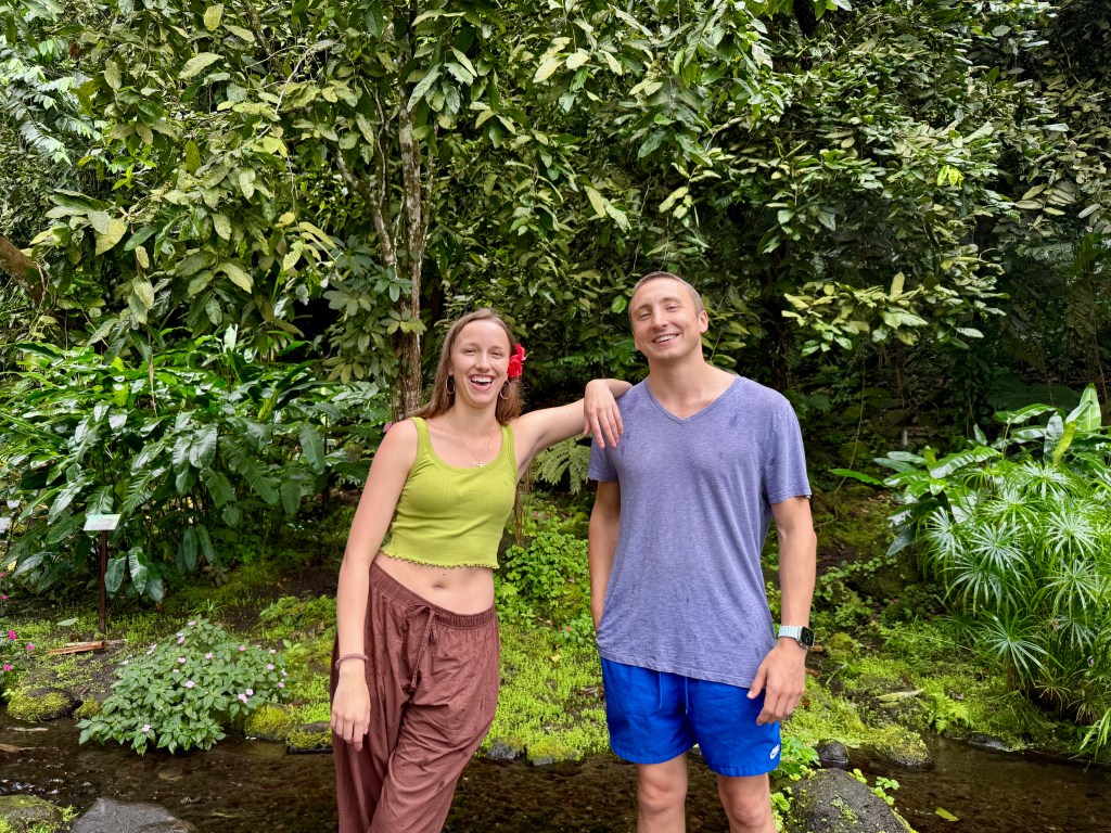
We arrived on July 12th and enjoyed a beautiful ‘short’ motor sail that took us about 5 hours.  We decided to run the engine while sailing to charge our batteries.  Tracy discovered earlier that the batteries were running at low voltage and needed to be re-calibrated.  The voltage was showing a lower rate of power than the percentage of charge for the batteries and they need to be in alignment.  

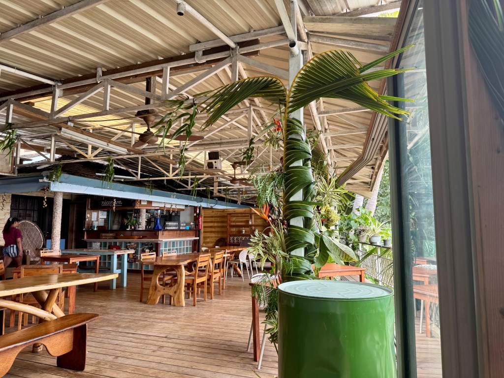
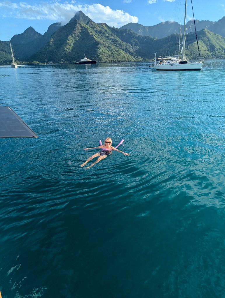
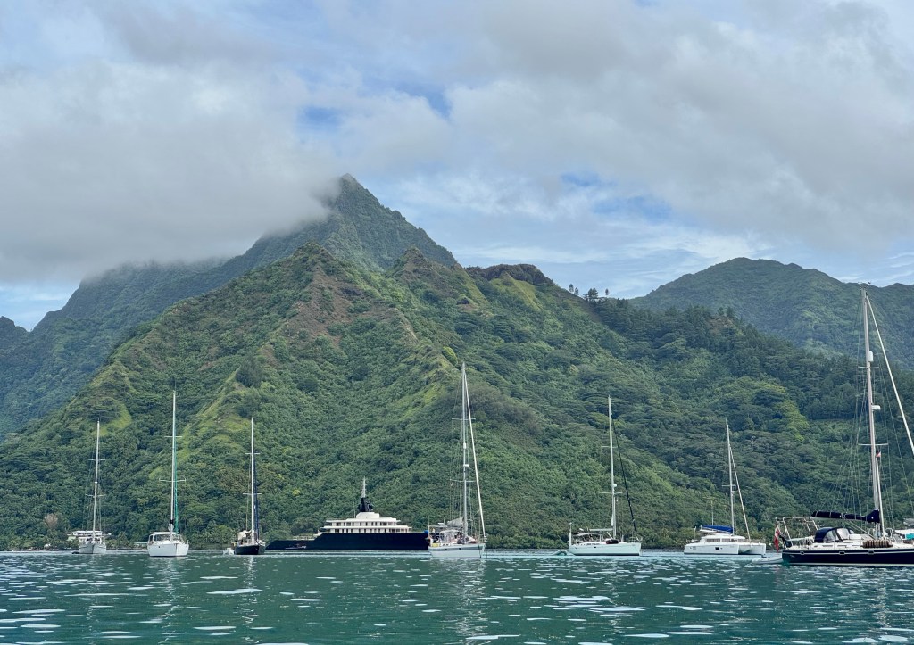
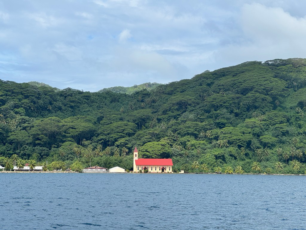
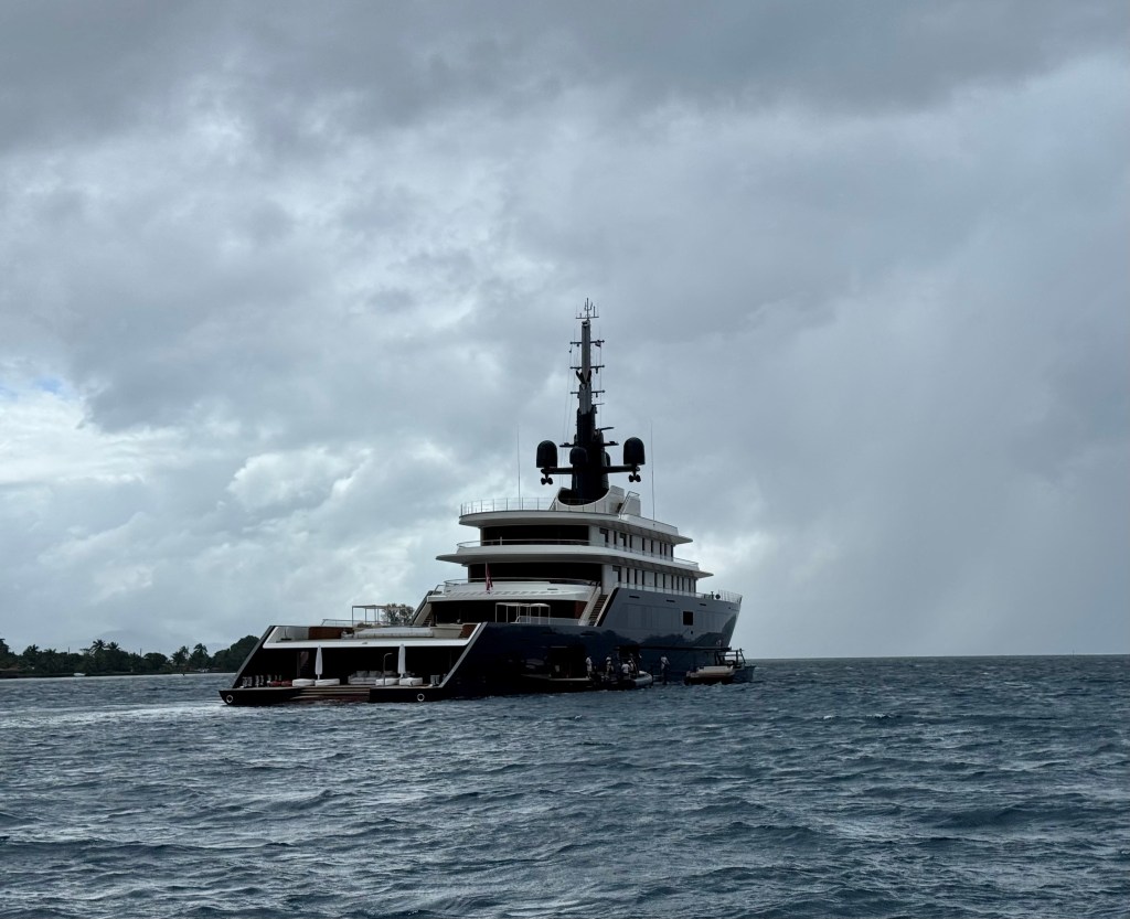
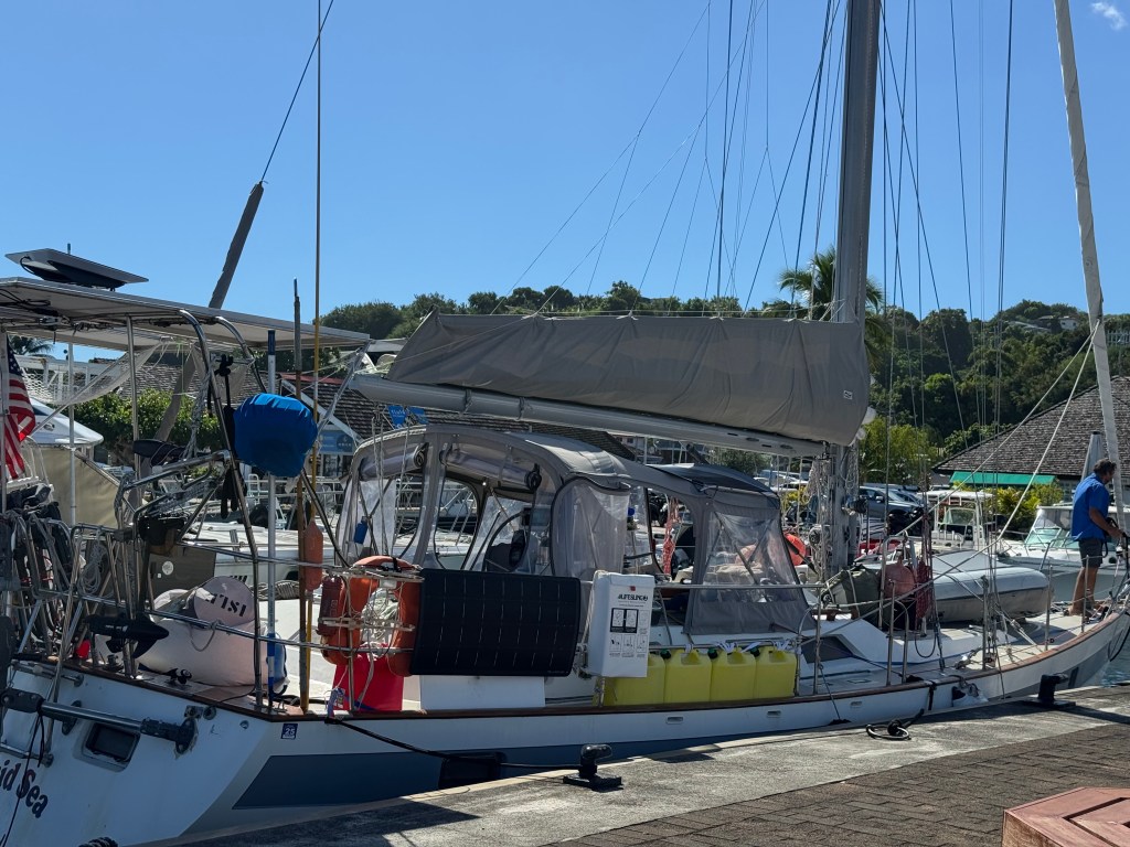
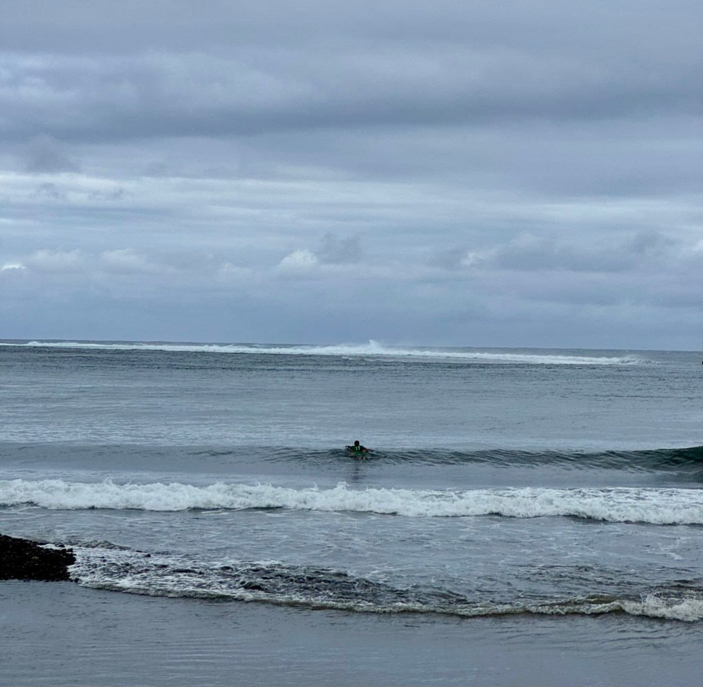
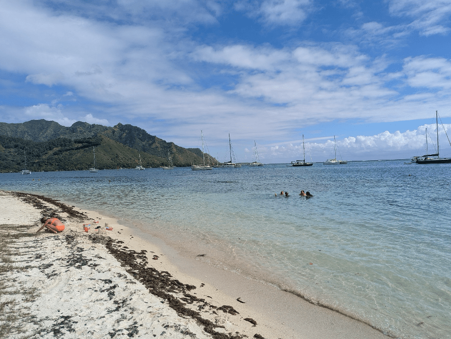
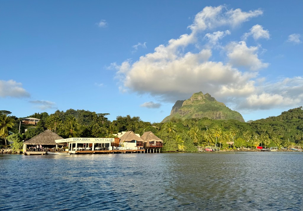
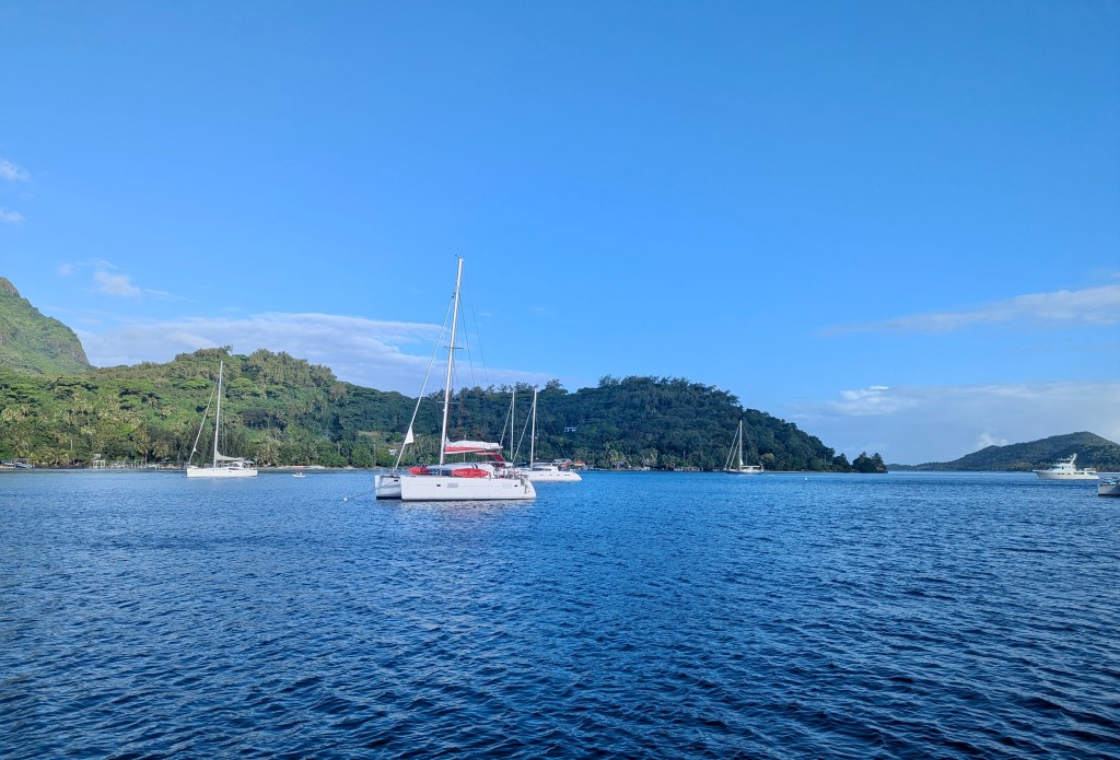
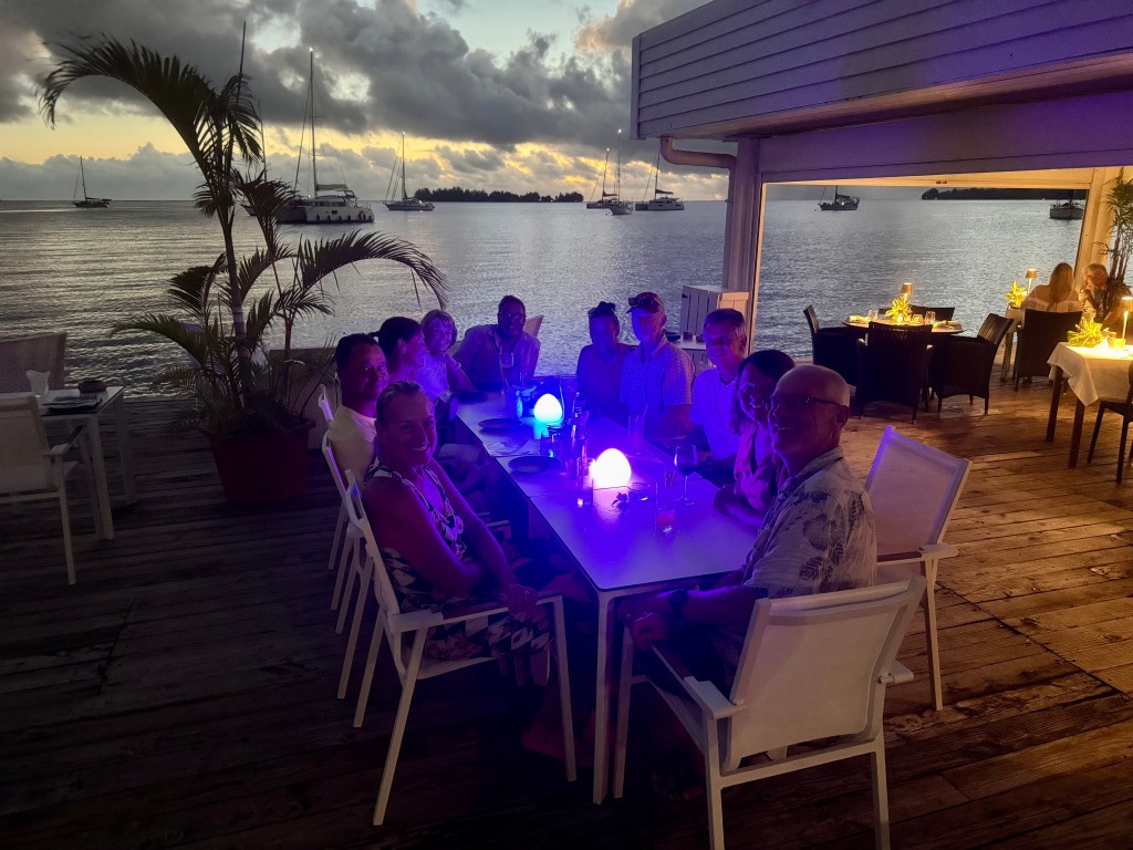
Bora Bora only allows boats to hook up to a mooring ball as opposed to anchoring. They charge $40 per day eliminating the free anchoring we’ve been enjoying over the rest of French Polynesia. We understand as this provides revenue for the island and will deter boats from overstaying their welcome.  It also helps protect the coral from damage by anchors.  Part of the fee includes a secure mooring ball and the collecting of our trash.   We are moored right in front of the Bora Bora Yacht club which is not really a yacht club but is a nice restaurant.   On our first day we took the dinghy in to explore the area and later went to dinner to at BBYC.

Our view of Bora Bora Yacht Club as we made our way to shore by dinghy.
Another beautiful sunset at BBYC.

Our anchorage

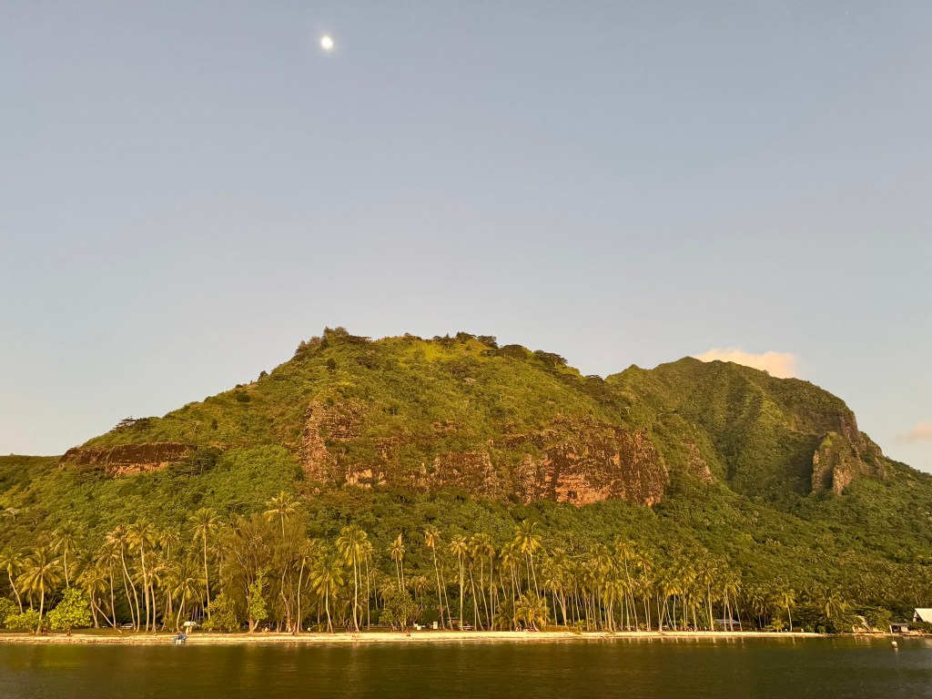
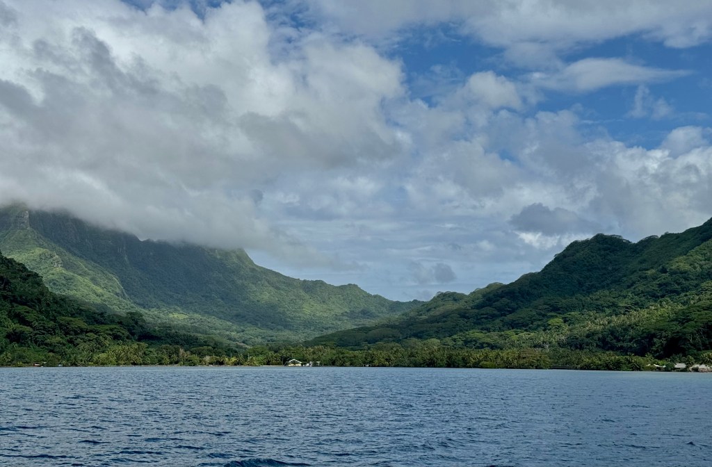
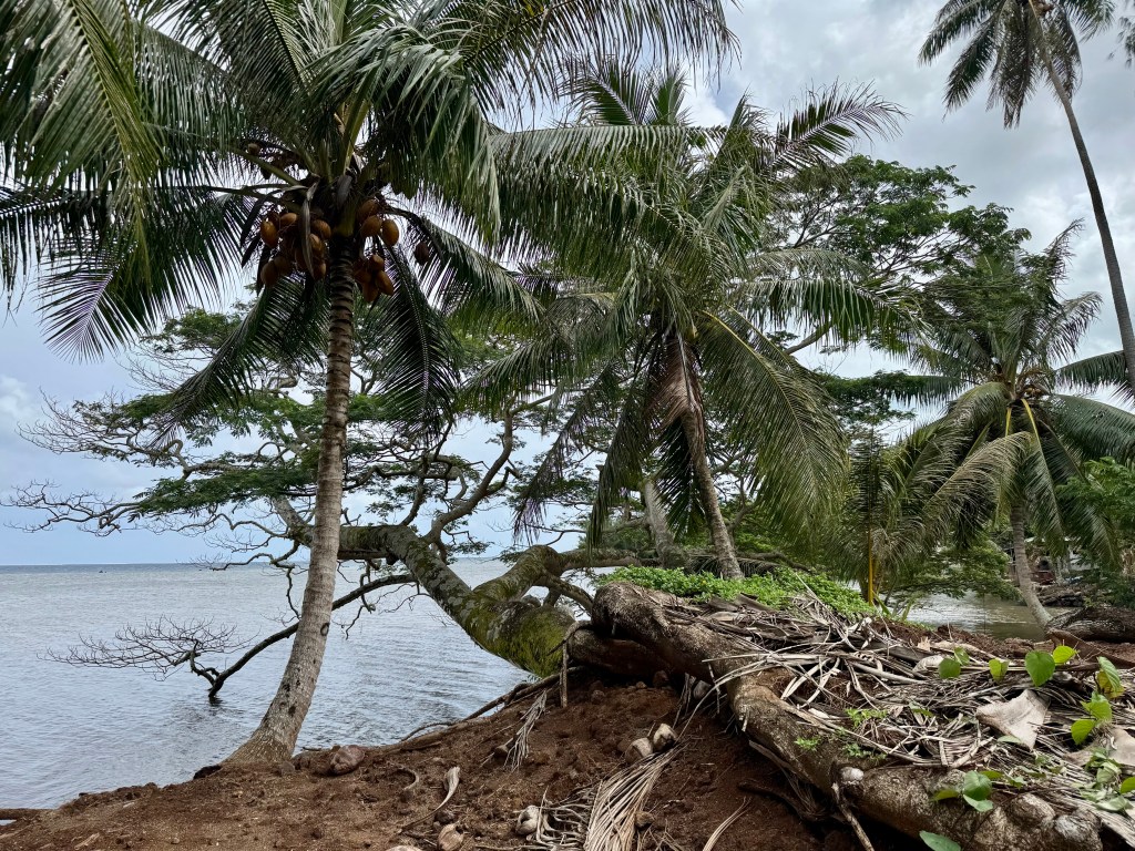
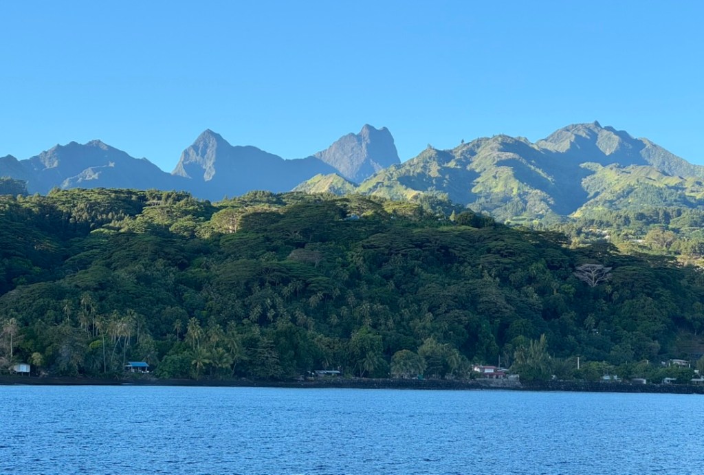
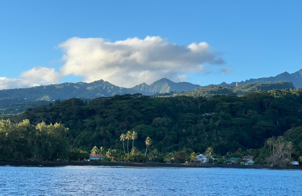
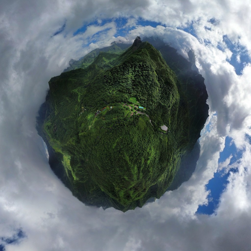
Bora Bora is a tropical island lying in the Society Islands of French Polynesia. A territory of France, French Polynesia has 118 islands lying in five island groups. They’re spread across an area the size of Europe.

Information about Bora Bora

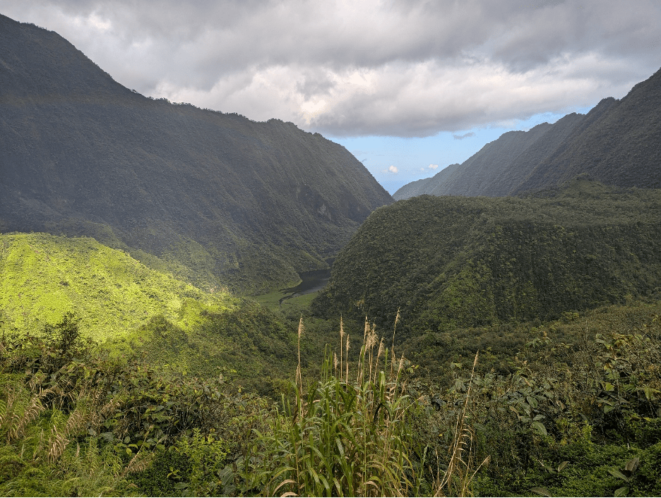
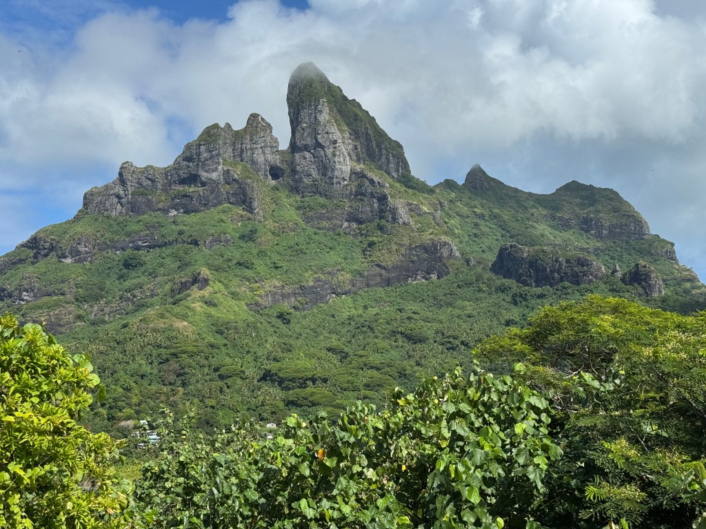
•    Bora Bora’s unique and sensational geographical formation is the remnants of an extinct volcano that is still above water.

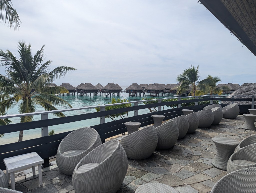
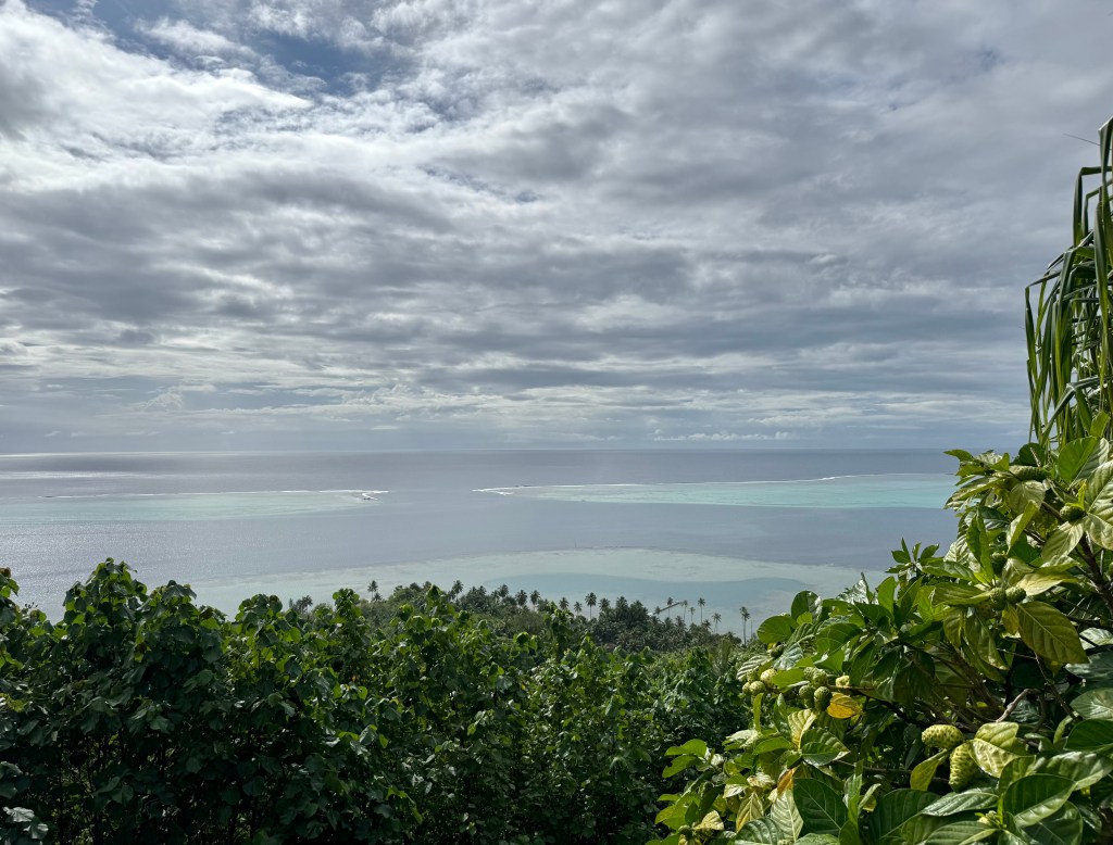
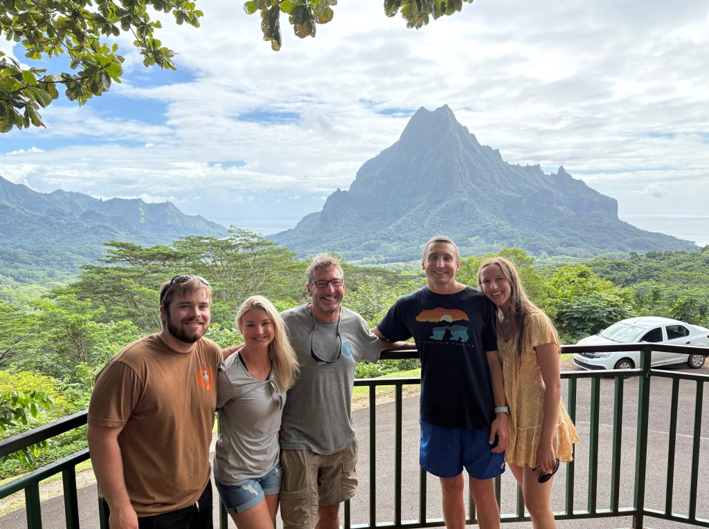
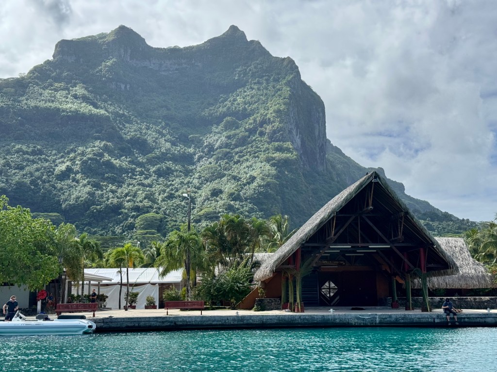
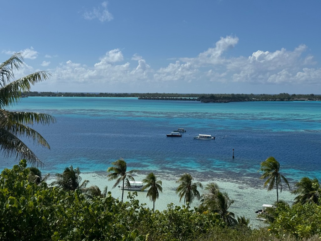
•    The main island of Bora Bora is surrounded by a ring of sandy, coral islets called motus. Luxury resorts are set on these motus, and most have incredible views across the blue lagoon to the black-rock peak of Mt. Otemanu which rises from the lush green slopes.

•    The main language spoken is French and the islanders speak Polynesian at home. You can always find someone speaking English in the places frequented by tourists.

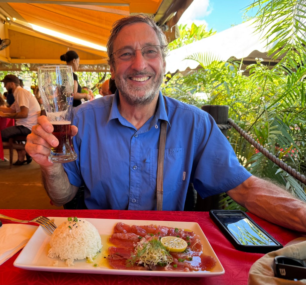
•    The French influence can be experienced in the cuisine and some chefs create exotic gourmet dishes combining island ingredients.

•    Bora Bora has several small villages. Vaitape, the main one, located on the western side of the main island, has a post office, banks, and a variety of small shops.

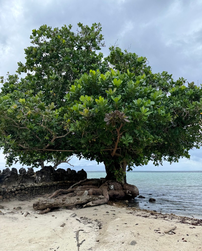
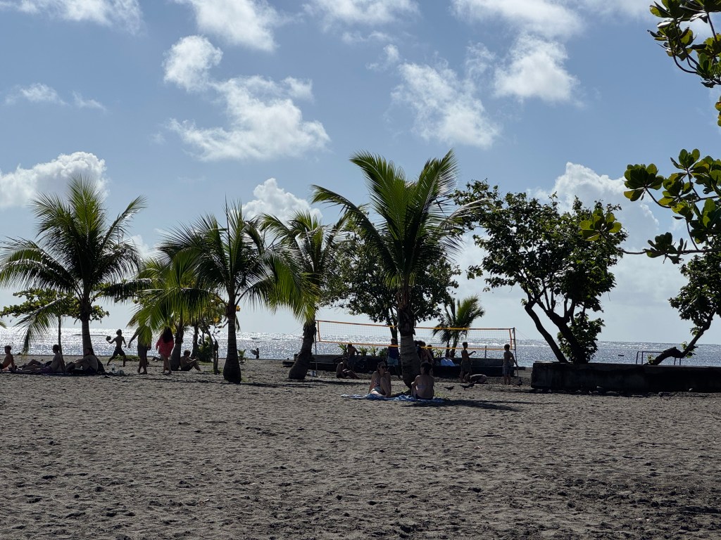
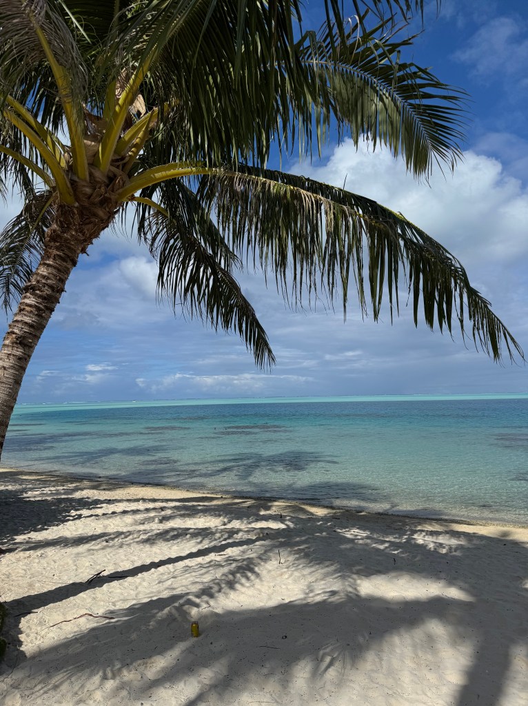
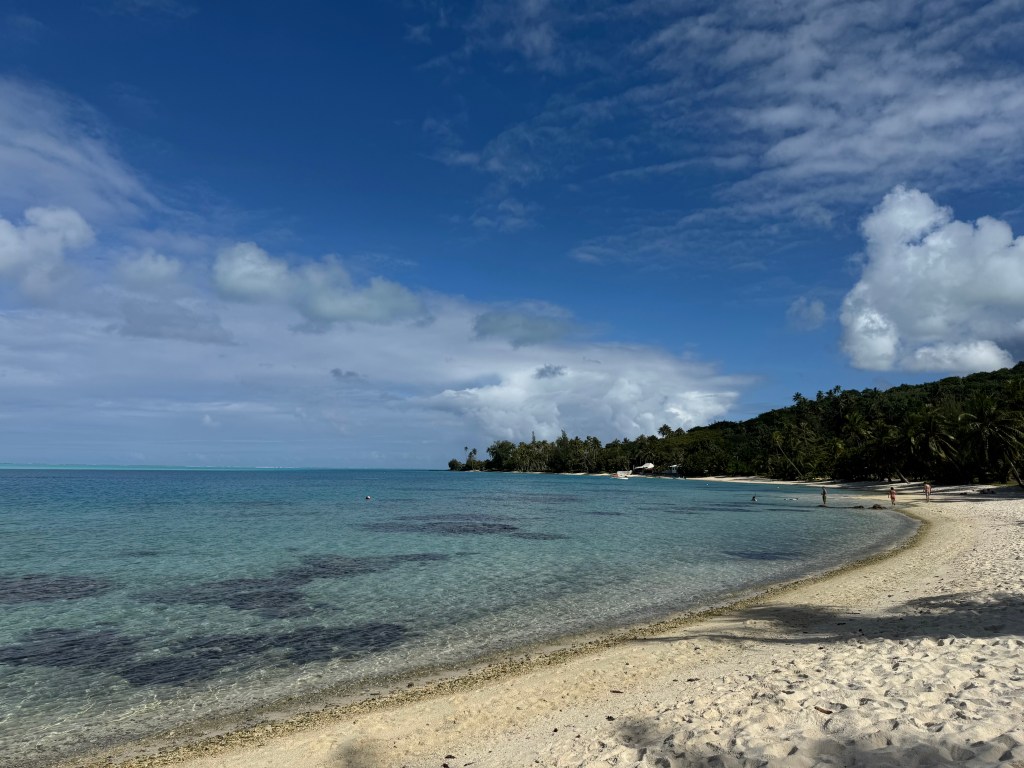
•    Bora Bora has extraordinary white sand beaches, edging the lagoon, including one award winning 2 mile stretch of public beach.

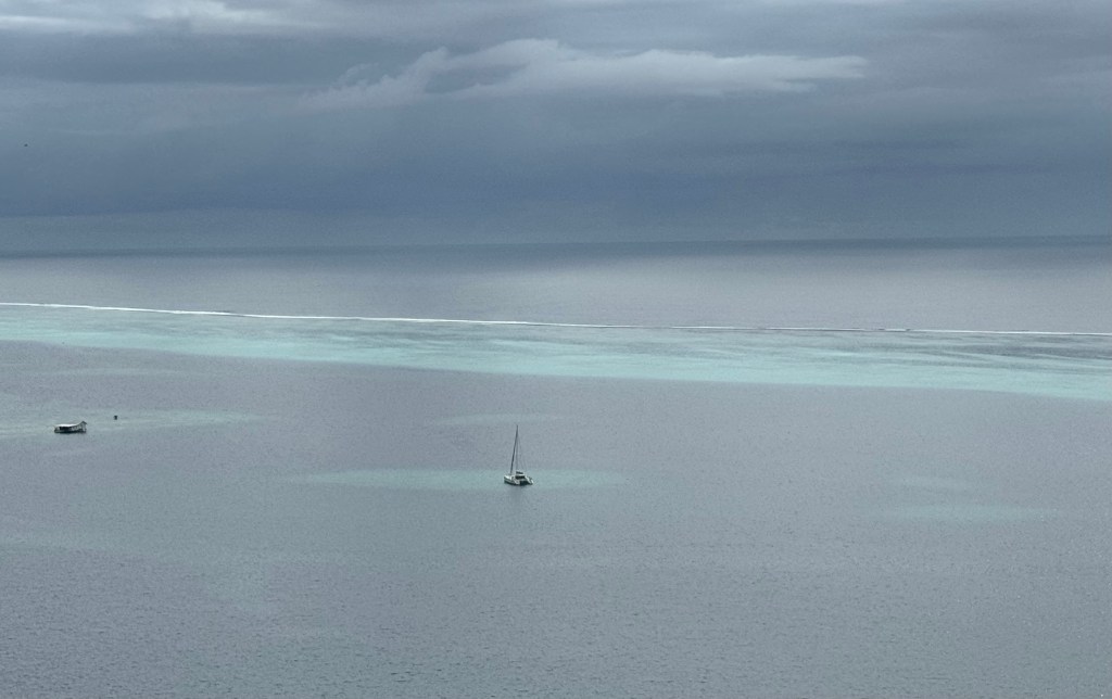
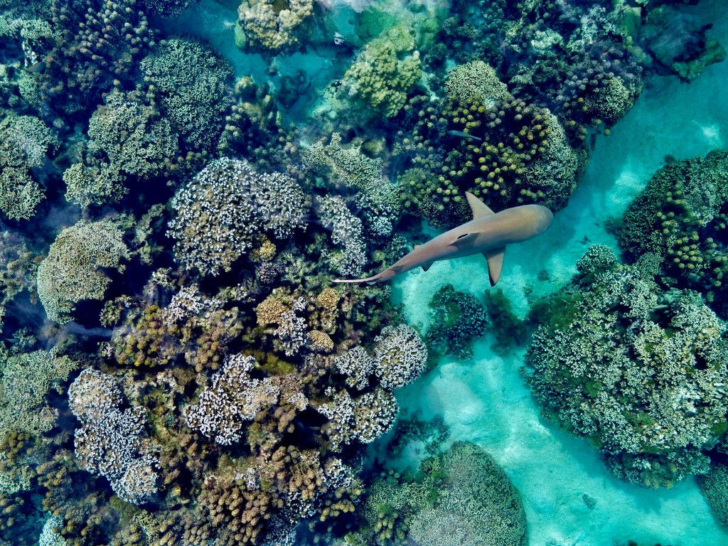
•    The Bora Bora lagoon only has only one pass opening to the ocean, which is what makes this lagoon such a warm, calm place to swim and snorkel. The water temperature averages 28 degrees Celsius.

• Bora Bora’s airport is on a small island! For safety reasons planes can only land in daylight. Unless you fly in by helicopter, everyone must take a boat to get to their hotel.

• Bora Bora’s main form of transport is boat.

Source:  Bora Bora Island Guide

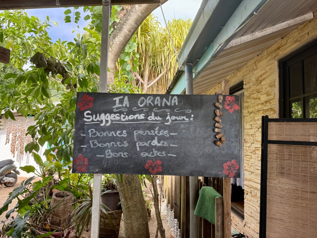
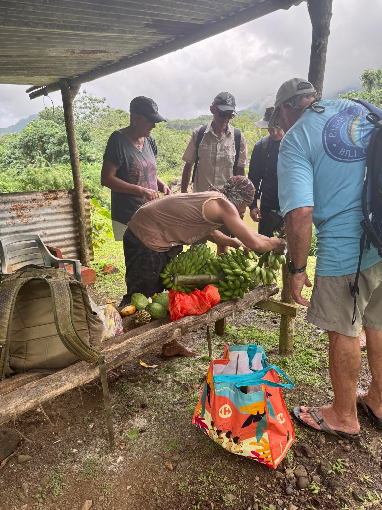
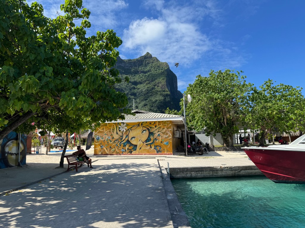
July 13th, we took the dinghy to town and located the ‘gendarmerie’ to begin our check out process from French Polynesia.  We also found a couple of grocery stores for provisions and a great place to have lunch.

Gendarmerie is a police force that is part of the armed forces in France and some other countries where French is spoken.  It has law enforcement duties among the civilian population.

Colorful church downtown in Vaitape
Cool mural in town of Vaitape
Mount Otemanu

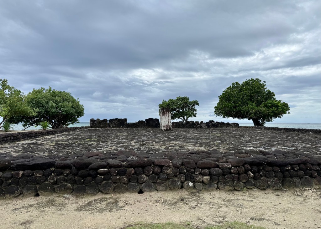
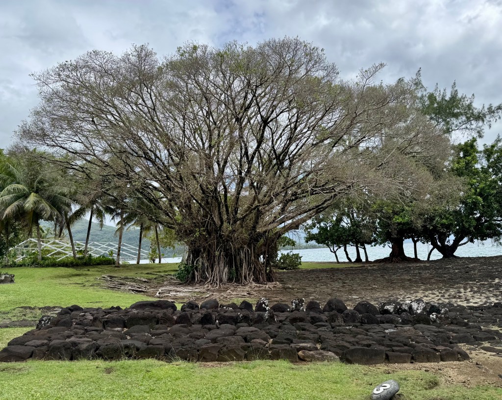
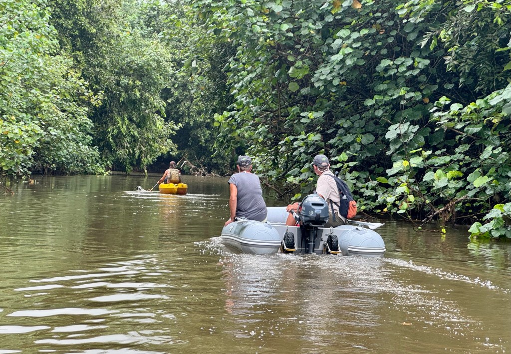
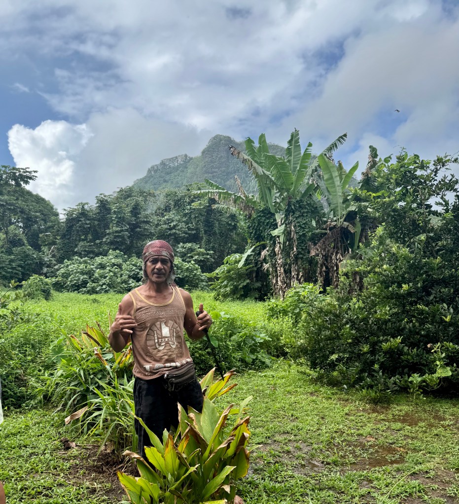
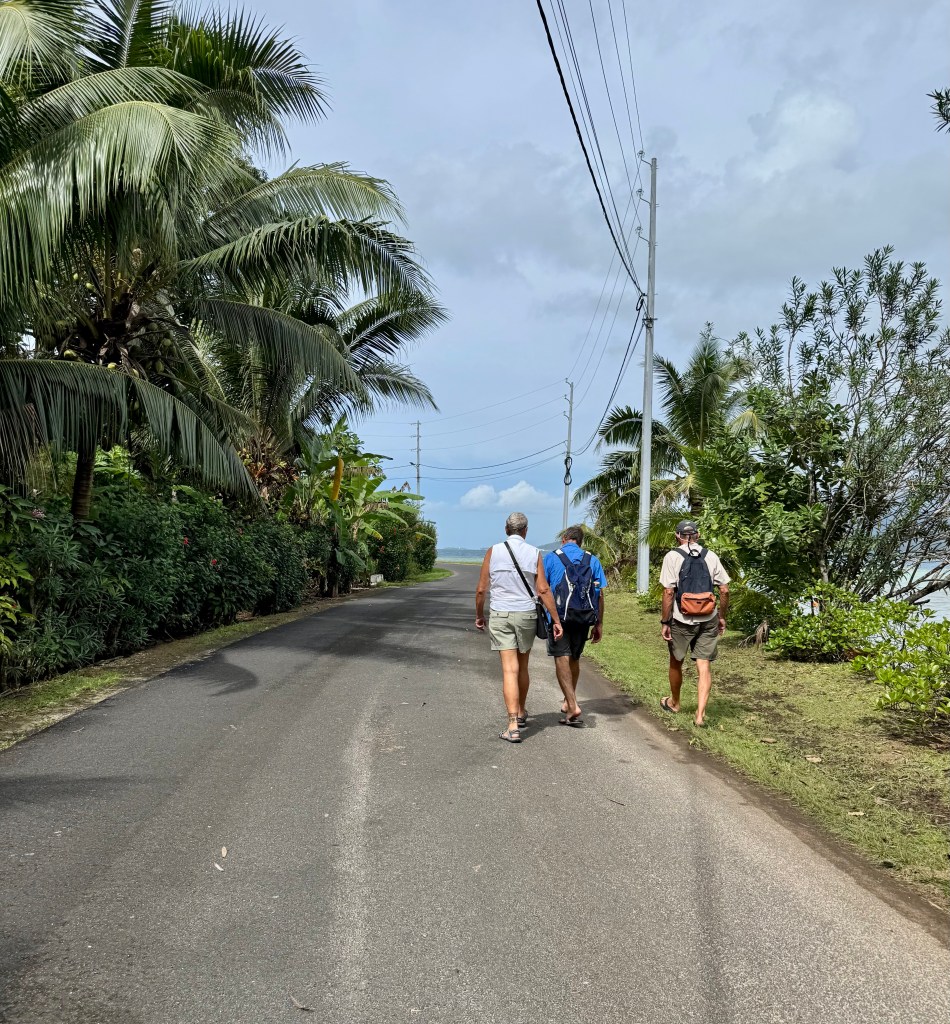
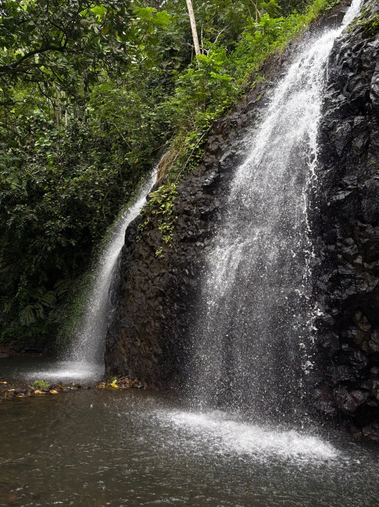
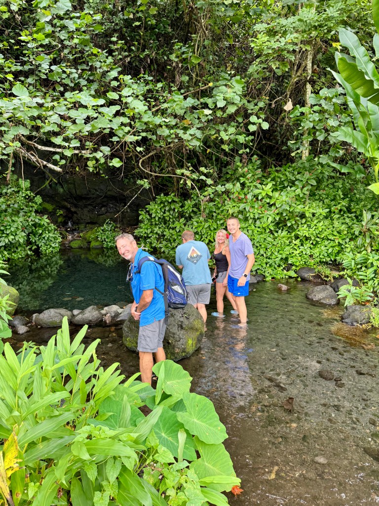
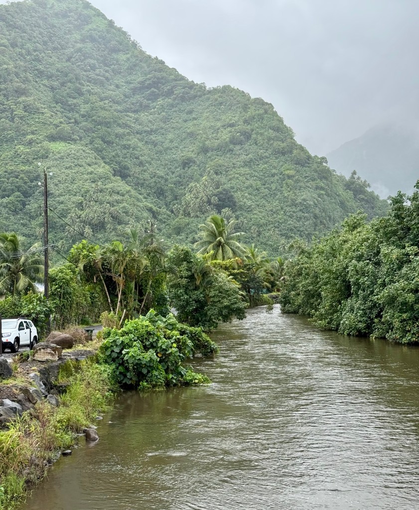
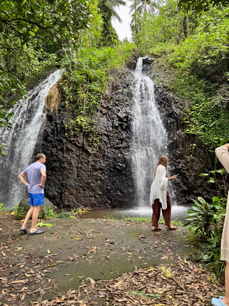
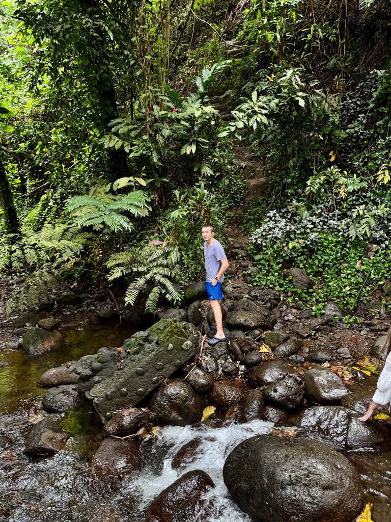
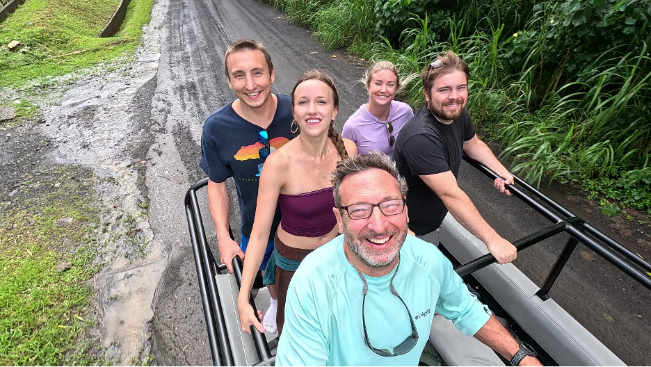
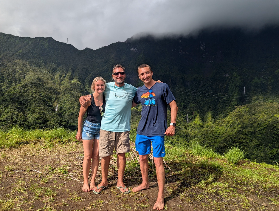
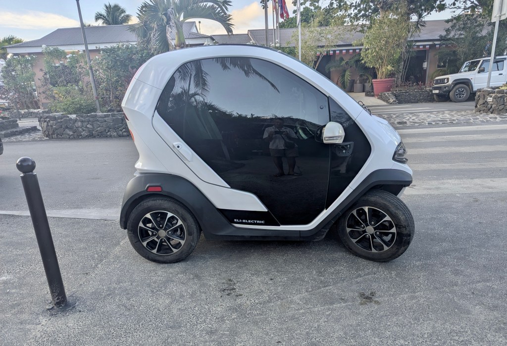
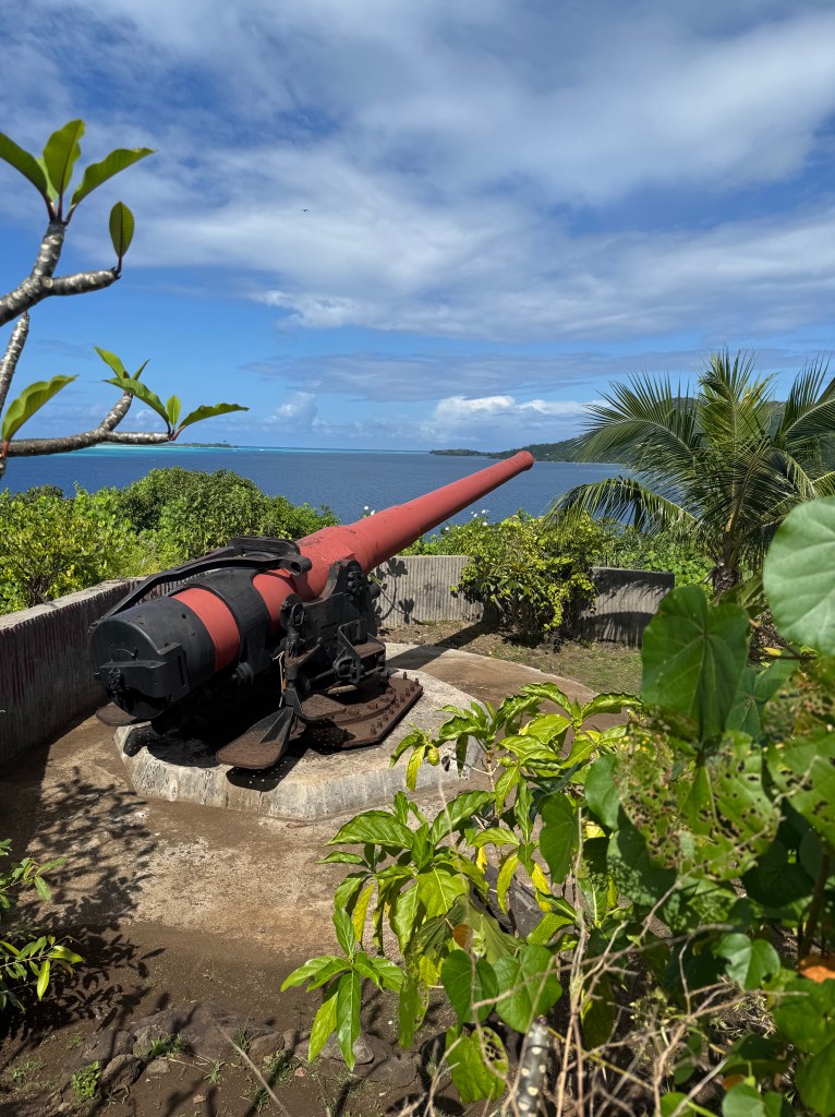
July 14th, we rented a car for the day and drove around the island.  We enjoyed finding a beautiful public beach but the most interesting site was hiking up to the cannons which were positioned to help the US during World War II.

Our car for the Island tour. We were encouraged to choose one of their small electric cars. It’s top speed was 45 km/h

Matira Public Beach
During our drive we discovered Matira Beach, the only a public beach on Bora Bora.

Translation: Maohi Protestant Church Tona (Anau) Parish
We discovered this church during our drive around the Island.

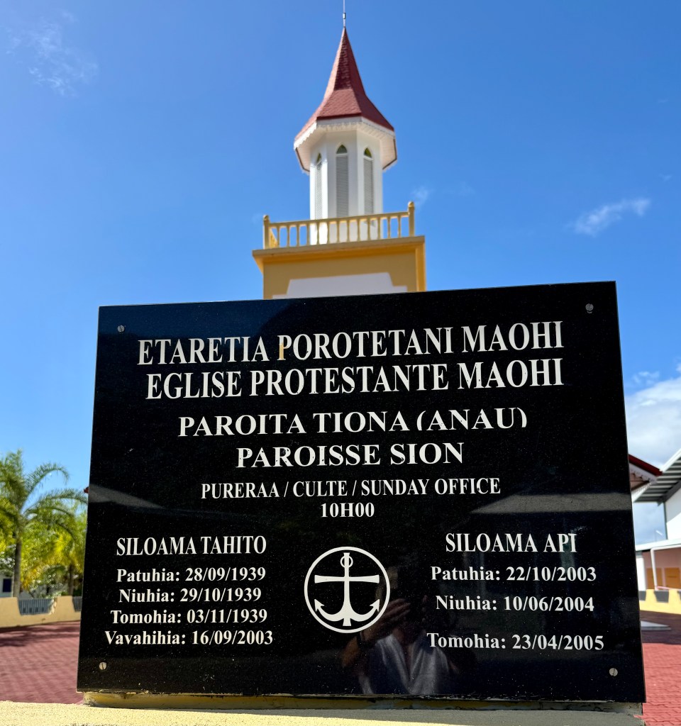
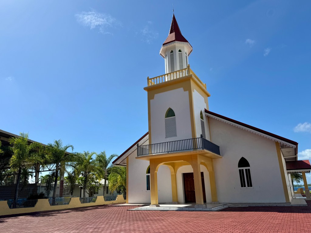
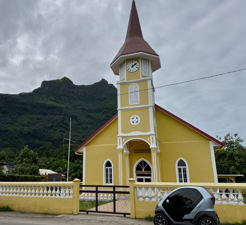
The first missionaries arrived in 1797. After 1815 the majority of the population identified themselves with Christianity, and formed this national Protestant church which spread from Tahiti to the four archipelagos. The official founding date of the church is 1815.

Source: Wikipedia

Another view of Mount Otemanu

Beautiful views along our drive

Historical cannons installed as part of Operation Bobcat during World War II.

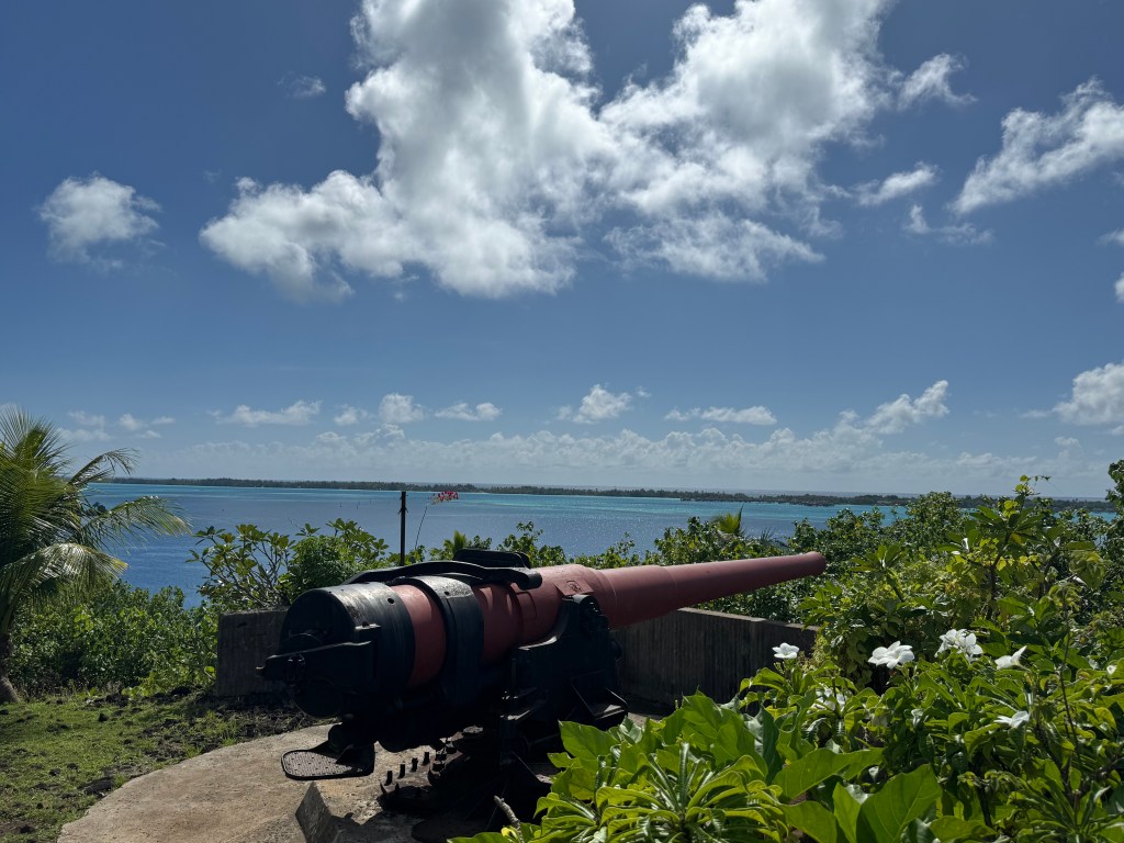
Bora Bora and World War II

On December 7th, 1941, the Japanese air force attacked the US Pacific Fleet at Pearl Harbor in Hawaii, and the United States entered the Second World War. The US Navy needed a refueling depot between Australia (the last bastion of resistance to the Japanese offensive), and the Panama Canal. The strategic position of Bora Bora, the deep-water bay at Faanui and the fact that it had only one easy to control pass, made it the ideal candidate. In 1942, the Americans launched Operation Bobcat, and 3,500 US military personnel arrived in Bora Bora.

Canons that can still be seen today were positioned at strategic points to defend the island from an eventual Japanese attack, and the enormous logistic task of installing the base began. Roads and a quay had to be built, a fuel depot installed, and an airstrip constructed on one of the motu. (The airstrip remained the only international airport in French Polynesia until 1963.) Bora Bora was a tranquil little South Sea Island of 1,200 souls at that time, and suddenly 3,500 military personnel arrived with Admiral Tuner’s fleet of destroyers, cruisers, cargo ships and transport vessels. The base remained in Bora Bora until June 1946. A total of 1,000 ships were refueled at the military base on the “Pearl of the Pacific.” Today, vestiges of the American presence, including the canons, can still be see at various sites around the island.

The American presence in Bora Bora inevitably had an enormous influence on the local population. The entire face of the island was changed, with impressive new infrastructures, including an airport and a quay. Fortunately, the anticipated Japanese attack never materialized, so the canons never had to be fired in anger. However, their incongruous presence on this beautiful South Sea paradise is a reminder that nowhere is completely safe from tyranny. Remember, when you go hiking in Bora Bora, as with everywhere in The Islands of Tahiti, set off early to avoid the hottest part of the day, wear some kind of headwear and take plenty of water with you.

Source: TahitiTourism.com

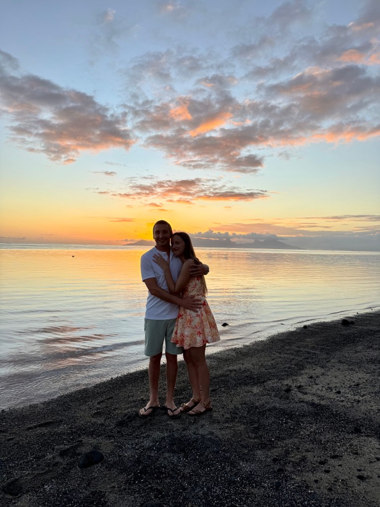
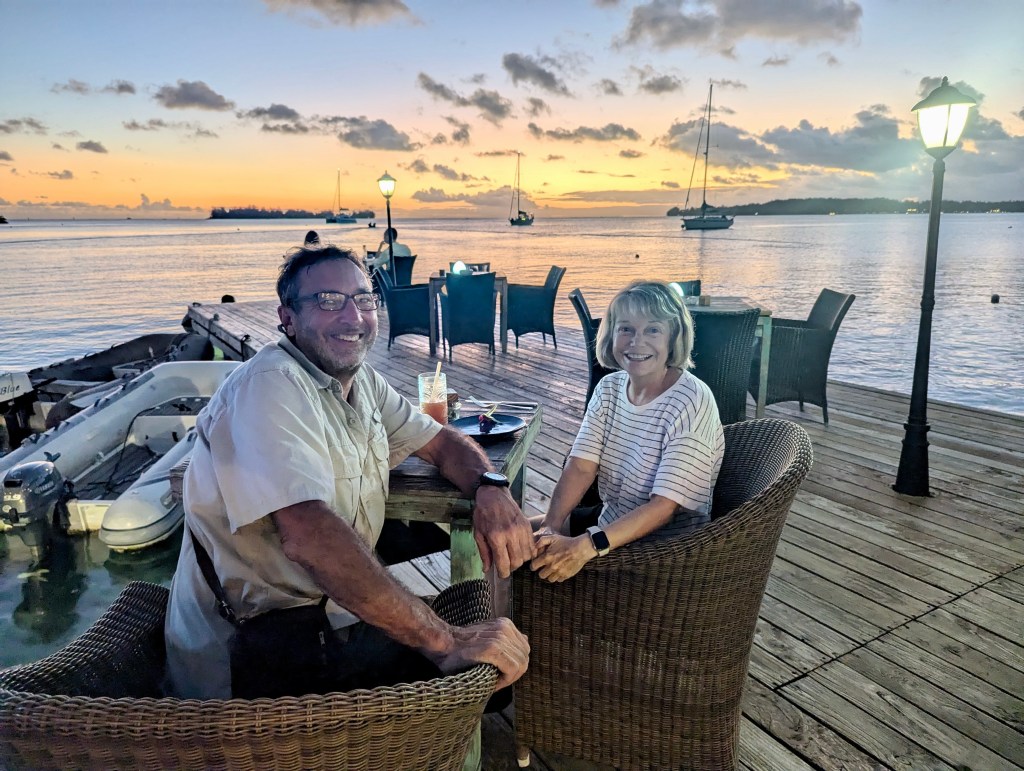
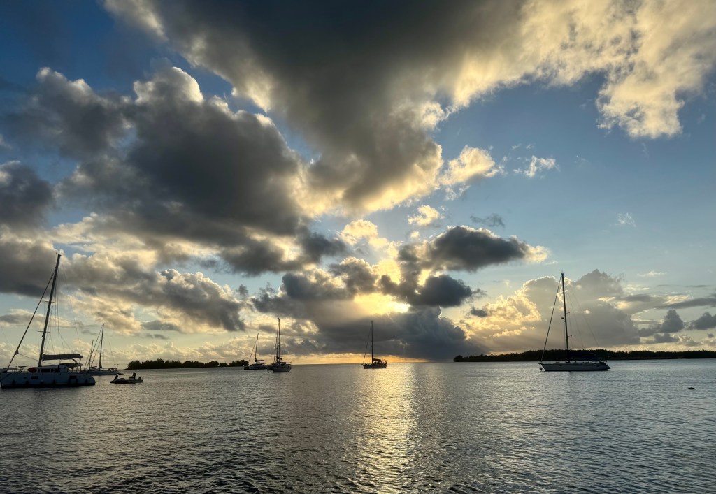
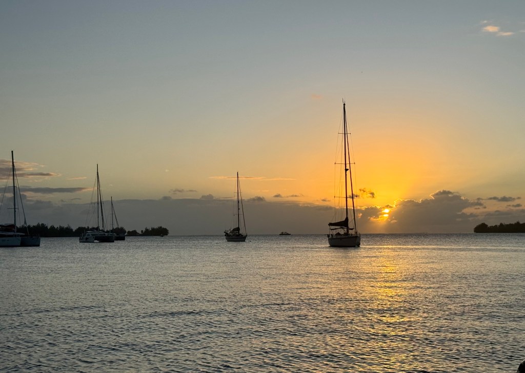
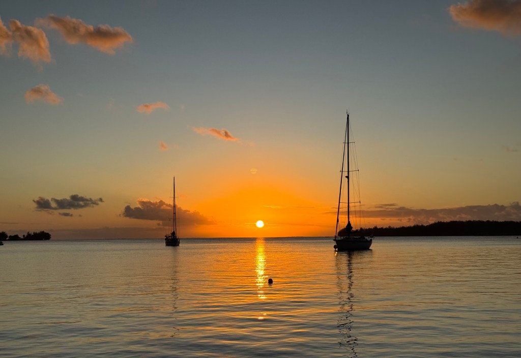
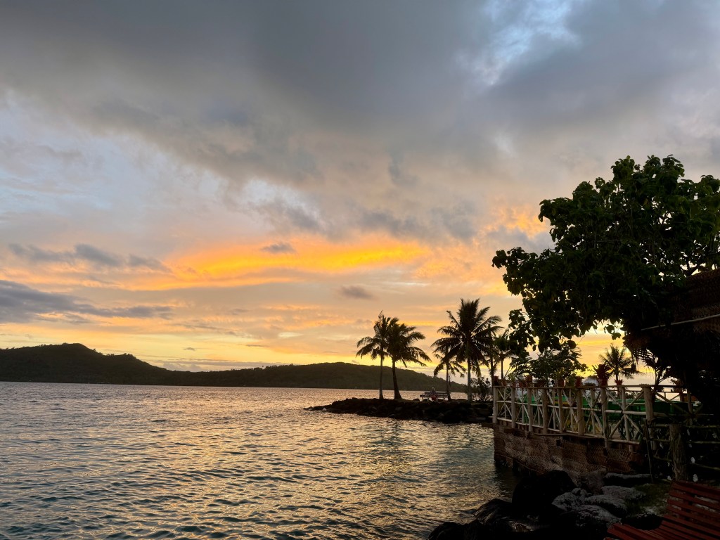
We enjoyed wonderful sunsets in Bora Bora most nights. It never gets old!

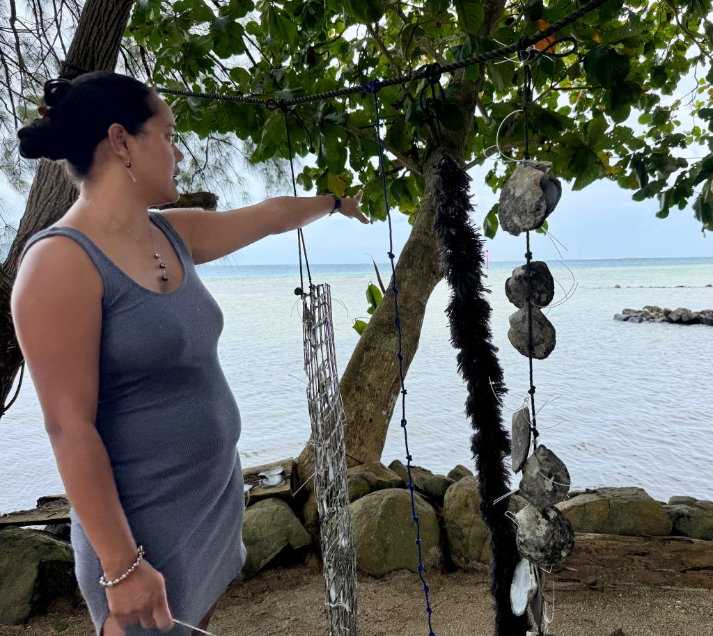
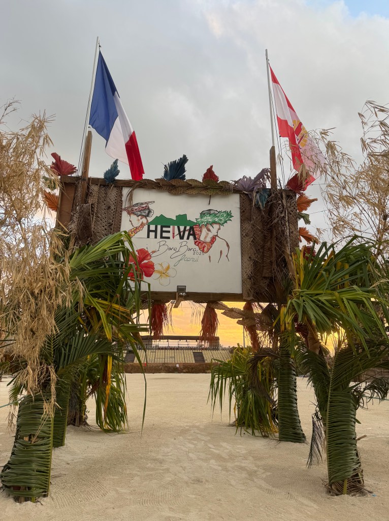
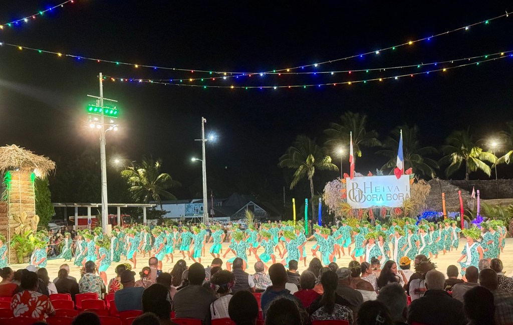
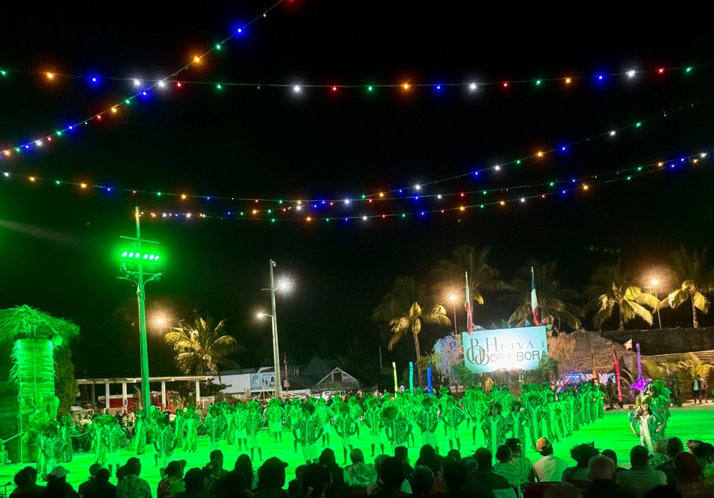
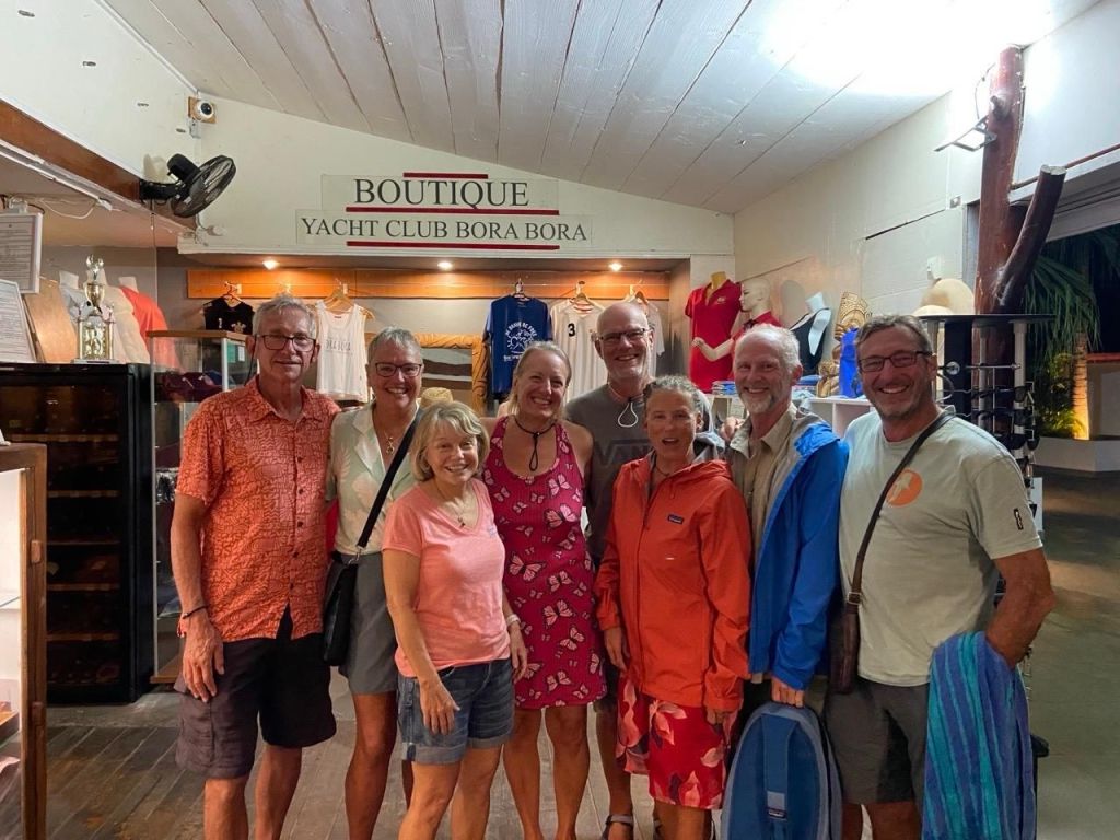
July 16th we did work on the boat during the day and went into town for a Heiva cultural event.  We met a few cruising friends and had dinner together before the event started.

What is Heiva i Bora Bora?

From June 27 to August 3, 2025, the island of Bora Bora is transformed into a living theater of dance, song, music and traditional sports. The Heiva i Bora Bora is an annual celebration that brings together the island’s six villages to share and preserve their cultural heritage.

The most colorful cultural experience in Bora Bora is surely Heiva i Bora Bora, the annual festival of song and dance. The Tahitian word Heiva (hei meaning to assemble, and va meaning community places) is also known as “The Celebration of Life.”

Taking place each year (mostly in July), Heiva occupies the square of Vaitape at Place Tu Vavau and is known for its soul-stirring music, dancing, singing and sporting events that highlight the beauty and culture of the Polynesian people of French Polynesia. The competitions of Heiva highlight ancestral traditions and legends, where participants are judged by a group of experts who specialize in dance, traditional percussions and musical compositions, singing and lyrics, all set to live music performances.

Entrance to the Heiva event
Two dance events.

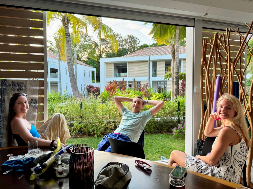
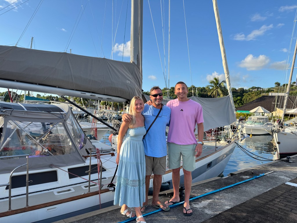
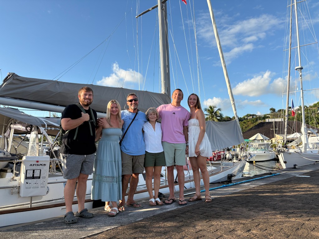
We continue to enjoy connecting with our cruising friends in Bora Bora.  We met a couple of new cruisers, both from Sweden. We all met up for dinner a couple of the nights during our stay in Bora Bora.  We also got to know one of the waiters, named Albun (sp?) who is from France but has been traveling and before Bora Bora, worked in Reunion Islands, and Argentina. France will pay their citizens a bit more to promote working in other French territories. He spoke great English and shared a few stories from his travels.  He said it is great to travel alone because it forces you to meet people, and you acclimate quicker.   He’s fallen in love with Bora Bora and plans to stay.

We loved Bora Bora and wished we could have stayed longer to explore other areas.  All the islands we visited in French Polynesia were wonderful and each one a unique experience.  Two of our favorites include Bora Bora and the Atoll, Fakarava.

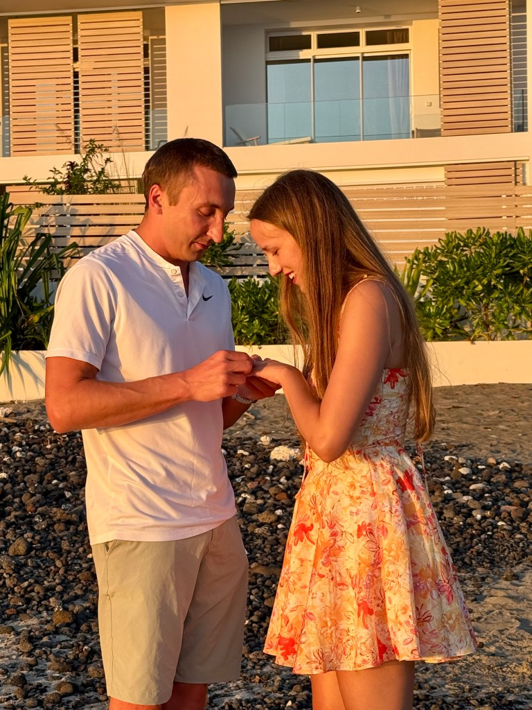
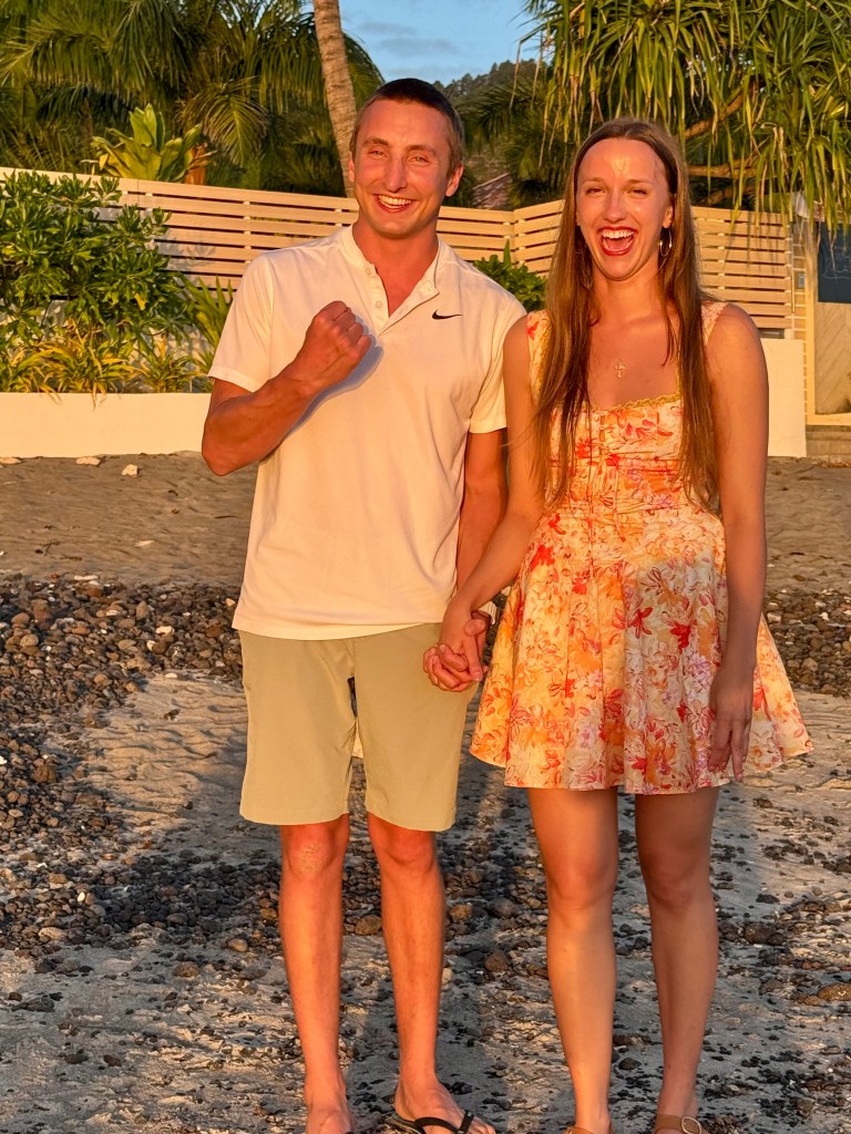
As I wrap up this post, I have an update.  We decided to take a pause and fly home for a few months.  I left on the 17th of July and Tracy is making his way to Tonga doing a solo sail.  While it’s worrisome that he is alone, it is something he has wanted to do for a while. He left Bora Bora on July 19th and should arrive in Tonga within 9-11 days, depending on weather.  Tracy’s flight home is booked to leave Tonga on August 7th. We plan to head back and join Quid Sea around the end of September and then on to New Zealand.

Tracy is documenting his passage and we will share in the next blog. Cheers!

Mo’orea

We left Tahiti and headed to Mo’orea on Thursday, July 3rd, the same day the kids left.  It was about 5 hours, and it was a bit rough but helped that it was a short trip. We are quickly facing the end of our time in French Polynesia and planning to experience a few more destinations before our check out in Bora Bora.  These will be briefer stays but hoping to prolong our adventure in FP by seeing as much as possible.

We arrived in the afternoon of 7/3 to lots of sunshine in a beautiful bay and anchored close to a public beach called Plage de Ta’ahiamanu.

Our views from Quid Sea in our anchorage

Mo’orea is tropical paradise not to be missed. Known as the sister island because of its proximity to Tahiti, Moorea, like Bora Bora, Raiatea and Huahine, is in the Society Islands. The distinguishing feature of the destination is its two large bays, Cook and Opunohu, which are separated by Mount Rotui and give the island its trident form. Formerly called “Aimeho” or “Eimeo”,

Moʻorea is an atoll whose main island consists mainly of igneous rocks. The island, like neighboring Tahiti, formed as part of the “Society Chain” from a hot spot on the Pacific Plate and is between 1.5 and 2 million years old.

The population for the commune of Mo’orea-Mai’ao, which includes Moorea and the smaller atoll of Mai’ao, had a population of 18,201 according to the 2022 census. Of this, 17,858 individuals resided on Moorea itself.

The main source of income is the tourism from the decade of 1960. An American company constructed in 1961 the Bali Shark Hotel, the first hotel of luxury of Moʻorea, in the north coast, near the town of Maharepa. Since then, the tourism has continuously increased, so that at the present time – according to affirm some guides of trips – Moʻorea has even more tourist hotels than Tahiti. The hotel complex are located mainly on the north and northwest coast. Most of the beaches on the northwest coast belong to hotels and are not open to the public. On the northeast coast, in Temaʻe, near the airfield, there is a public beach.

Until the end of the 20th century, coffee was still grown on Moʻorea. Due to falling coffee prices, this is no longer profitable and the cultivation of agricultural export crops has shifted to pineapple and Tahitian vanilla. Some small family farms continue to produce copra in the traditional way. Breadfruit, yams, taro, sweet potatoes, bananas, coconuts, and other tropical and subtropical fruits are grown for home consumption and hotel kitchens. Fishing continues to play an important, though declining, role in the island’s economy. Source: Wikipedia

We opted not to get a car in Mo’orea since Tracy and the kids had already explored some of the key areas of interest.  So we settled in, enjoying the scenery and contacted our cruiser friends from Polaire Bear and made plans to go to lunch the next day. Unfortunately, a front rolled in and kept us on the boat for a day and we had to postpone. On Saturday the weather improved and we left in our dinghy to find our lunch spot.  It was a unique place on the water where we could tie up and enter the restaurant from the beach.

We used a mooring ball to tie up our dinghy and walked to shore.
Lunch place called Fare Maheata

 Restaurants greeting sign: Hello! Suggestions of the day: Good thoughts, Good words and Good deeds.

The next day we went to shore on our own to explore and ended up at the Hilton resort for a drink and walked around the grounds.  It’s beautiful hotel and we found out they have bungalows over the water for only $1200 a night.  Yikes! 

The bungalows over the water at the Hilton Resort

We walked back toward the public beach and went to a local poke bowl and smoothie restaurant.  There was a long line, so we assumed it was good.  We both got tuna poke bowls to go and headed back to the boat.  After eating and relaxing we both went for a swim off the back of the boat. 

Quid Sea
Note the large yacht with the blue hull. They have been showing up in some of the same anchorages.

Raitaea

We left Mo’orea on July 7th,  and headed to Raiatea.  This was approximately a 16 hour passage and we left about 1:00 PM to ensure we don’t arrive in the dark.  It was again a rough crossing with confused seas and winds.  We didn’t sleep much but felt better as soon as found a place to drop anchor. We arrived about 10:00 AM on July 8th in Opoa Bay. We napped and took it easy our first day.

One of our views from Quid Sea.

Raiatea, meaning “faraway heaven” and “sky with soft light” is a volcanic island in French Polynesia. It’s the second largest island in the Society Islands and holds significant cultural and historical importance, being considered the center of religion and culture in French Polynesia for over a thousand years. It’s also known as the “Sacred Island” and the “Birthplace of Polynesia,” according to Tahiti.com. 

The island of Raiatea, part of French Polynesia, has a population of approximately 12,500 people.  It is the largest and most populated island in the Leeward Islands. Raiatea is the second-largest of the Society Islands. 

The next morning (July 9th) we went to shore to visit a UNESCO World Heritage site called Taputapuatea in Opoa Ra’iatea.  We did a hike up to the top and saw great views.  After the hike we walked around the various cultural sites.  

Taputapuātea is located at the centre of the “Polynesian Triangle”, a vast maritime area dotted with small remote islands between Hawai’i, Easter Island and New Zealand.  A large oceanic territory called Te-Moana-Nui-O-Hiva, inhabited by the ancient Ma’ohi civilization. It is believed to be the last region to have been settled by human soicieties about 1000 years ago. A religious, intellectual, cutltural and political crossroads bringing together all the archipelagos of the Polynesian Triangel and beyond, Taputapuatea was the center of expansion and convergence of networks of lineage and sovereignty extending on a considerable scale, for centuries.

The remains of the site “Tahua Marae Taputapuateai Opoa” form an ancient religious, cultural and political ensemble that played a vital role in the immemorial history of the Ma’ohi people; it stretches over 14.82 acres, located between land and sea, on the tip of the Matahiraitera’I peninsula.  Emblematic of the marae of the great chiefdoms who genealogies date the most ancient ones back to well before the 10th century, the history of this high place begins with the cosomongic myth and the creator god of the ma’ohi universe, Ta’aroa-Nui, and takes us to its last period with the god ‘Oro, whose cult was widely spread in Eastern Polynesia.  Many marae Taputapuatea were founded on important islands in this vast oceanic expansion network, from an original stone of Taputapuatea i Opoa.

Marae

Marae are sacred, ceremonial and political paces of worship, of which the first mythical one was built by the Great Creator Spirit of Ta’aroa-Nui.  The last marae constructions by the Ma’ohi people date between the 14th and 18th centuries. In the Society Islands, Marae generally have a quadrilateral paved courtyard, with a rectangular platform called ahu standing at one end.

Taputapuatea cultural landscape

The archaeological site “Tahua Marae Taputapuatea I Opoa” is at the heart of the Cultural Landscape inscribed on the World Heritage List.  The entire property is bounded by natural elements carrying symbolism, and extends from the Te-A’e-Tapu Summit to beyond the Te-Ava-Mo’a sacred pass, including the Toa-Hiva and Toa-Tapu bays, the Fa’a-o-Hiva, and Fa’a-o-Hotopu’u valleys and the famous Matahiraitera’I Peninsula which harbors the large marae on it tip.

The marae Hauviri was the investiture temple of the paramount chiefs of the Tamatoas’ great lineage that would rule the Leeward Isalnds until Christianization.

The marae of the Tau-‘aitu or Hititai was where ascetic priests consecrated the rites of the rahui watched over the image of the god (to’o) and fed the two guardian sharks of the sovereigns. Human sacrifices were perpetrated on the Ofa-i-tapu-ta’ata’ stone placed in front of the courtyard.

The Taura’-tapu Beach was where the large canoes of the allied or younger chiefdoms, invited to major inter-island gatherings or returning to their origins, besides their elders to renew alliances or share and acquire knowledge, drew up.

The Opu-teina’ marae was that of the younger lineages, who left for the great ocean during the expansion period, following the great maritime routes plotted out by the mythical octopus Tumu-Ra’i-Fenua.

The great marae Taputapuatea is the most emblematic and deified element of the site. Erected in primordial times as a founding marae by the creator god Ta’aroa, it would be dedicated to the god of peace and war.

Raiatea

Notice the same boat from Mo’orea. This is how the billionaires cruise. haha

We left for another anchorage soon after our UNESCO tour and headed to another spot on Raiatea called Faaroa Bay. It only took us an hour to get there. We met up with cruiser boats, Kallisti and Polaire Bear and took a tour of fruit farm hosted by Andre. He met us in Faaroa river traveling by Kayak and we were traveling by dinghy. 

The river is located on the eastern side of Raiatea, flowing into Faaroa Bay.  It is the only navigable river in French Polynesia.  The river winds through the lush interior of the island, offering a scenic route through dense tropical vegetation.

Andre was waiting for us and eager to help us ashore.  His farm boasted star apples, lychees, bananas, coconut, passion fruit, guava, green beans, vanilla beans, turmeric, breadfruit, Polynesia papaya’s seedless variety. . pampelmousse, rambutan (Lychee’s fuzzy cousin), abiu which looks like a lemon,  He provided samples and he climbed the trees to harvest the fruit as needed.  We ended up with several bags of fresh fruit which we split among the 3 boats. After touring the fruit farm we went across to the other side of the river and walked through a lovely botanical garden.

Later on, we all met on SV Polaire Bear to divy up our fruit and enjoy happy hour.

Robin and Simon following Andre to the farm

Our host Andre.

Drinking coconut water from a freshly cut coconut.

We all want bananas and we typically get them green so they last longer on the boat.

Andre cutting off some green beans for the group. Notice the length.

Lychees!
Andre harvesting fruit, I’m not sure what kind.

Andre showing us the best way to cut off a bunch of bananas.

Four pictures above from our walk through the botanical garden.

Taha’a

We left July 11th and headed to Point Toamaro on the Island of Taha’a.  We enjoyed a beautiful sail that took us approximately 2 hours. We are only here for one night and glad we were able to make it even if our stay is short.

Taha’a is also known as the Vanilla Island. Its fertile land and climate produce what chefs and gourmets around the world think is the tastiest, most fragrant vanilla on earth. Tahitian pearls are also produced in Taha’a.

The island offers a more laid-back and authentic Polynesian experience compared to some of its busier neighbors.Visitors can enjoy breathtaking views of Bora Bora on the horizon, especially during sunset.Taha’a is surrounded by a coral reef, creating a calm lagoon perfect for water activities such as snorkeling and kayaking. 

Taha’a, formerly named Uporu, has a rich cultural heritage, with ancient Polynesian marae (temples) and traditions still present on the island. An ancient tradition called “rock fishing” (tautai-taora in the local language) was once popular on Taha’a and is still practiced during the October festival.

The local economy is based on fishing, vanilla and pearl farming, and tourism,

This tree had split an fallen but continues to grow out towards the sea.

Taking a stroll around part of Point of Toamaro.

The green fruit is breadfruit.

We signed up for a Champon Pearl Farm tour in the afternoon.

Champon Pearl Farm is a family-run pearl farm that has been in operation for over 20 years.Originally founded by Bernard and Monique Champon, the farm is now gradually being taken over by their children, Aymeric and Maeva. Aymeric, who has managed the production side of things for over 15 years, has now acquired a certain expertise and still maintains the same goal of prioritizing quality over quantity. Maeva, after a master’s degree in environment, is in charge of various projects in partnership with research institutes such as IFREMER (  French Research Institute for the Exploitation of the Sea),  CRIOBE(Island Research Center and Environmental Observatory) or the  DRM (Directorate of Marine Resources of French Polynesia) for the improvement of production techniques.This is to make our farm more ecological and sustainable by improving the quality of the pearls.Our farm is a small structure with a young, local and dynamic team focused on improving the quality of pearls with a view to sustainability.

Attention paid to the environment

We want to have the least possible impact on the environment and that is why we have chosen to develop more sustainable production methods. 

In particular, we are moving towards natural oyster cleaning rather than manual cleaning, which can be harmful to the environment and is still commonly used. Indeed, we have encouraged the establishment of a colony of small fish that “gently” eliminate the parasites that disrupt the growth of mother-of-pearl. 

We also limit the number of oysters we farm so as not to disrupt the lagoon’s natural ecosystem. We work with the seasons to optimize:

  1. the pearl oyster grafting operation 
  2. to avoid stressing them as much as possible
  3. to ensure a better retention rate
  4. better quality pearls.

Finally, a water harvesting and solar energy production project is also under development. Our goal is to achieve a production method that is in symbiosis with the rich environment that surrounds us. Source: Champon Pearl Website

Our guide talked about their unique process of harvesting pearls. It was an interesting tour and we were all impressed by her knowledge and passion. The pearls were exquisite.

The next morning, July 12th, we left for Bora Bora.

Tahiti

We arrived in Tahiti on June 14th around 9:30 PM and anchored at Point Venus in the dark.   Fortunately, it went smoothly, and it helped that we were the only boat in the bay.  In preparing for this trip, we talked to other cruisers and were told Point Venus has a sandy bottom without any bommies.  That’s good news because they would be hard to see in the dark. 

A little history on Point Venus:  It’s located on the northern coast.  On June 3rd, 1769, Captain James Cook, naturalist Joseph Banks and naturalist Daniel Solander recorded the transit of Venus from the island of Tahiti during Cook’s first voyage around the world.  Transits of Venus occur in a pattern that repeats itself every 243 years, with two transits that are eight years apart, separated by breaks of 121.5 and 105.5 years. These men along with a crew of scientists, were commissioned by the Royal Society of London for the primary purpose of viewing the transit of Venus.  Not only would their findings help expand scientific knowledge, but it would also help with navigation by accurately calculating the observer’s longitude.  At this time, longitude was difficult to determine and not always precise.   

Source: Wikipedia

Our views from our anchorage in Point Venus.

We woke to a beautiful bay and sunshine.   We headed over to Marina Taina where we had a slip reservation for 18 days!  We decided to motor through the scenic pass going by the airport, resorts and other sites.   It was a bit harrowing experience docking as Tracy had to back up down the fairway to get to our reserved dock.  It was narrow and then we had to back into our ‘slip’ which was really on a quay where we tied up on one side.  We also had a boat in front of us, another one alongside and the dock behind us.  We made it without hitting anything and we both felt proud of that accomplishment.  Tracy did the heavy lifting in the steering the boat.  My job was to fend off other boats, or dock when we got to close.   We settled in for a bit and then went to a late lunch to celebrate Father’s Day, June 15th, 2025. 

Happy Father’s Day! Our first meal out in Tahiti.

The marina is great and reminds us of how easy it is to just step from your boat onto land.  Taina Marina is one of 2 marinas in Tahiti, and it is the bigger of the two. 

Details about Taina Marina: 

Since 2012, the Taina marina has been awarded the “Blue Flag” ecolabel, which recognizes the efforts of municipalities and marinas to promote a quality environment. The marina can accommodate approximately 550 boats or pleasure craft at the quay, on the quay or in the dry port. It is equipped with a quay dedicated to large yachts, a fuel station, a pump for black water, a laundry, a harbour master’s office, sanitary facilities, three restaurants, technical workshops and access to the beach, WI FI Internet coverage and nearby shops.

Definition of quay:  A concrete, stone, or metal platform lying alongside or projecting into water for loadings and unloading ships.

Quid Sea tied up next to the Quay. Our home for the next 18 days!
Marina Taina

We spent the first week taking care of the boat, doing laundry and stocking up on groceries.  We took down the mainsail for repairs which was a big project for the 2 of us.  The main sail measures about 408 square feet.  Tracy removed it and then we both laid it out on the quay to fold up, so it fit in a sail bag.  The sail repair service (Tristan) will come pick it up and take to the sail loft where they will make repairs as needed.   We later decided to have the head sail services as well.  The head sail is about 720 square feet.    We may not have another chance to have this work done before New Zealand and the sails have been well used and it’s worth getting this done for safety reasons. Tracy serviced the genoa cars which control the sheeting angle of the genoa so the sail has a more efficient shape. He also purchased new sheets (lines) for the genoa. The existing sheets were a bit frayed in spots. We’re working to make sure everything is in good working order as we make our way to New Zealand.  Last, he went up the mast to make sure everything is order.  The top of the mast is 58 and 1/2 feet off the water and he uses his ‘mast mate’ canvas steps to climb up to the very top. Not an easy job!

Tracy going up the mast-he looks pretty small at the very top. Notice the ‘mast mate’ steps.
A picture of one of the genoa cars (there are two) and new head sail lines.

We met up with cruising friends again and our happy hours continued.   Kallisti, (New Zealand), Terrapin, (North Carolina) and Polaire Bear from Canada. We also met some new cruisers (Nimue) from the UK.

We enjoyed a shopping center called Carrefour that was within walking distance from the Marina.  It reminded us of a Fred Meyer back home where they not only sell food, but also, electronics, tools, kitchen supplies, towels, etc.  It felt a bit overwhelming at first because we had become used to the small magasin’s within French Polynesia.  Within the shopping center, we  were able to get our hair cut and pick up some basic needs from the pharmacy.

Pictures from the American aisle at Carrefour.

Interesting Facts about Tahiti

  • Tahiti is made up of 118 islands and atolls spread out over five archipelagos. The whole archipelago spans 4.000.000 square km, which is the equivalent size of Europe.
    • The Tahitian alphabet is made up of 13 letters; the vowels a, e, i, o, u and the consonants f, h, m, n, p, r, t and v. Noticed that there is no b? That’s why Bora Bora is actually pronounced “Pora Pora”. It means “first-born”, but early visitors heard it as Bora Bora.
    • A typical Las Vegas hotel has more rooms than on all 118 islands of French Polynesia.
    • The shopping and retail on the island is monopolized by the Chinese population. When you hear Tahitians talk about going shopping, they say they are going to “la Chine” or to the Chinese.
  • In ancient Tahiti, archery was considered to be a sacred sport, and only people of high rank could participate. And while they were expert marksmen, bows and arrows were never used as weapons of war.
  • There are no poisonous snakes or insects in French Polynesia.Tahitians are considered to be the most genuinely friendly people in the world.
  • The official languages of the islands are Tahitian and French, however, English is widely spoken on most of the islands.
  • The word tattoo originated in French Polynesia.  Tattoos have long been considered signs of beauty in Polynesian culture, and in ancient times were ceremoniously applied to the body when reaching adolescence. The English word ‘tattoo’ comes from the Tahitian word ‘tatau’.
  • Hawaii receives more tourists in a day than Tahiti does in a year.  Tahiti is therefore one of the most exclusive destinations in the world.
  • Tahiti” or “The Islands of Tahiti” is technically an ‘Overseas Country of France’, though it has it’s own government which makes all international decisions on behalf of French Polynesia.More than half of the population of Tahiti is under the age of 20 years old.
    • The overwater bungalow was invented in Tahiti in the 1960’s on the island of Moorea.
  • If you were new to the island, you would think the boxes outside the homes of Tahitian residents were for mail. They are actually for French bread delivery. Residents get a fresh loaf dropped off twice a day.
  • The Tiare flower is the national symbol of Tahiti. Both men and women wear these flower, either as a necklace, crown or behind the ear. You wear a Tiare flower on your left ear if you’re taken, on your right ear to indicate you’re available.

Our pace picked up when Tracy’s kids (Lucas & Marina) and their significant others (Annika & Dakota) arrived.  Their visit started on Monday, June 23rd and they booked an Airbnb about a 12-minute drive from us.   We rented a car for most of their stay so we could get back and forth easily.

Marina and Dakota were the first to arrive and landed about 5:30 AM.  They picked up their rental car and came right to the boat since they couldn’t check into their Airbnb.   We went to the Tahiti Market which is a bustling marketplace where locals and tourists alike can find items like hand-woven hats, bags, jewelry, wood carvings, Tahitian pearls, and local textiles. You can also find fresh flowers, fruits, vegetables, and ingredients for traditional Tahitian dishes like raw fish in coconut milk. 

We found a place to have lunch and then drove to Point Venus to check out our first anchorage from land.  It’s a nice park, with black sand beach and is a great area for swimming, sunbathing and walking around. Point Venus lighthouse marks the north of the island and marks the bay of  Matavai. It was the first lighthouse in the South Pacific, and remains the only lighthouse in Tahiti.

Marina and Dakota enjoying the beach.
Point Venus Lighthouse
Pictures at Point Venus from the shore.

We decided to explore Tahiti by car and drive around the Island.  Unfortunately the forecast is rain for most of the day.  There is one main road, and the entire loop is approximately 72 miles.  Our first stop was Grotte De Mara’s where the site is composed of three natural caves hollowed out of the rock. The permanent trickle has formed pools of cool clear water and the ceilings of the caves are covered with ferns and moss. An optical illusion gives the impression that its arched ceiling stoops down at the edges making it seem much smaller than it is. 

Pictures from Grotte de Mara.

Next, we stopped at Vaiphai Water Gardens, a little haven of peace and beauty with waterfalls and pools that make it a refreshing break.  The gardens are built on the site of an ancient marae. Marae are portals between Po, the world of the gods and darkness, and the Ao, the everyday world of people and light, so that people could communicate with their ancestors.

Torch Ginger Flower- photo by Lucas
Blue Lotus Flower – photo by Lucas
Annika and Lucas touring the water garden.
Vaiphai Water Garden photos.

We found a nice place to have lunch inside (still raining) but with view of the bay.  We enjoyed great seafood dishes and drinks before heading out to the Peninsula west coast of Tahiti, referred to as Tahiti Iti.  The peninsula is known worldwide because of the legendary wave at Teahupoo.   It is one of the best and heaviest left-breaking waves in the world and is only suitable for the very best surfers.  Each year it is home to an international surfing competition.

Surfing at the 2024 Summer Olympics took place 27 July – 5 August 2024 in Teahupo’o reef pass, breaking the record for the farthest away a medal competition has been staged from the host city. A total of 48 surfers (24 for the men’s and women’s competitions each) competed in the shortboard events, eight more than in Tokyo 2020. Source: Wickipedia

Trying to capture the waves out on the reef.
Fauoro River near Teahupoo. 

Dakota found a waterfall off the beaten path, and we headed their next.  It felt like we were miles into the jungle but it was 10 minutes off the main highway with a parking lot for visitors.  Below are some photos:

We spent several days hanging out at the Airbnb with the kids, snorkeling, swimming, playing games and catching up. Dakota purchased a spear gun at Carrefour and he speared a parrot fish, squirrel fish and a white banded goat fish.  He cleaned them and prepared them for us so we could try a bite.  They were small and didn’t provide a meal for all of us but tasted pretty good.

Dakota’s drone shot of the snorkeling area off the Airbnb!
beautiful pool and right off the pool is the beach!
Annika, Lucas and Marina hanging out on the patio in the Airbnb.
Dakota cooking!
Nice dinner out at a restaurant right on the beach that we walked to from the Airbnb.

Tracy is writing the next 2 posts because I missed the trip to Moorea and the 4X4 tour of the Island. I wasn’t feeling well. Bummer!

June 29th we took the ferry from Tahiti to Moorea to explore Moorea. Moorea is a small island just NW of Tahiti, about a 45 minute ferry ride. Our plan in Moorea was to circumnavigate the island, do some snorkeling, and check out Belvédère Lookout. We walked of the ferry and rented a car directly across from the ferry landing. Then we were off! Our first stop on our trip was a public beach called Plage de Ta’ahiamanu  It was a lovely beach with quite a few sailboats anchored just off the beach. We thought that maybe we would come back later to swim.

Our next stop was Belvédère Lookout. Belvédère Lookout is at about 240M elevation and overlooks Mount Rotui, Cook Bay and Opunohu Bay.

After Belvédère Lookout, we went to find a beach or snorkeling spot. We talked to some locals and looked on No Foreign Land and decided to head for Plage de Tiahura to snorkel and grab lunch. Apparently, there are an abundance of sea anemones at this plage (beach). We had a nice lunch at Restaurant le Sunset and then Lucas, Annika, Marina, and Dakota went snorkeling. As I had decided not to bring my snorkeling gear, I hung out at Restaurant le Sunset and had a beer while they snorkeled. After snorkeling, we continued around the island heading back to the ferry landing. We then dropped the car off, boarded the ferry, and headed back to Tahiti. It was a nice day on Moorea.

Beach on Moorea
Belvédère Lookout

June 30th we took a 4X4 tour across the island of Tahiti. There is a road that crosses the island that is only passable with high clearance vehicles. Our guide was Noa and he was of Marquesian and Tahitian descent but had spent a lot of time in the US. His English and grasp of American Music was fantastic and he blared songs from the 60’s and 70’s that  were appropriate for particular parts of the road. Here’s a shot of us in the back of the 4X4. It’s a Toyota pickup with benches and rails in the bed.

Noa educated us on a lot of the plants on the island and we sampled a lot of the fruit. We stopped at so many beautiful viewpoints. There were numerous waterfalls across the interior of the island along with some small rivers and lakes. There were a few dams as these small rivers are a source of hydroelectric power for the island. Here are some pictures from the center of the island.

Dakota took this great drone shot above Tahiti during the 4X4 tour.

For Lucas, his trip to Tahiti included bigger plans than just a vacation.  He planned to propose to his girlfriend Annika.  It was surprise for Annika but everyone else knew and of course we couldn’t talk about it. We were getting a bit nervous as the days went by and no proposal!  In his defense, he wanted to propose on the beach at sunset, and we had quite a few rainy days during their visit.  But in the end, he found the right day and place.  On July 1st, he proposed, and Annika said yes!  It was wonderful to be part of the event and share in the celebration. Afterwards we went to dinner and continued to celebrate.

Now both Marina and Lucas are engaged to be married. We were excited to hear the news of Dakota and Marina’s engagement in March and we are very happy for them.

Luca and Annika engagement photos off the beach of the Airbnb.

The six of us raising a glass to their engagement!

Wednesday, July 2nd

Our last Day in Tahiti for all of us.  We spent a good part of the day getting the boat ready for our departure on Thursday morning. This includes things like bringing the dinghy up to the bow of the boat and tying it down.  Tracy had to put the repaired main and head sails back on. We went shopping for final provisions as this will be our last big store until we get to Bora Bora.  I also did a couple loads of laundry because who knows when will have laundry service again.  It will be back to washing a few things in the sink and hanging them out to dry.

We had dinner with the kids on our last night together and took a few more pictures. Is it OK to call them kids when they are in their 20’s and early 30’s? Some things never change. We really enjoyed having them here and appreciate the effort they made to come see us. Part of this incredible journey is making great memories with family and friends.

Until next time, I hope you all are well and enjoying your summer.

Hiva Oa

This image has an empty alt attribute; its file name is 5a0f4242-3c4a-407a-95d2-36bc6cae0ca7_1_105_c.jpeg

Since our Chronicler David for the pacific crossing has returned home, Cindy and I need to resume our full duties as chroniclers.

David, Erik, and I left Fatu Hiva the morning of April 21st and arrived in Hiva Oa late in the afternoon where we dropped anchor in a rather crowded anchorage. The port is rather small. There is one dock for small passenger vessels and supply ships. There are no docks for sailboats. You must anchor. There was a supply ship at the dock when we anchored. Fortunately we anchored in a spot that gave the ship enough room to leave. You can see where the ship is docked, leaving the dock, and squeezing out behind us.

This image has an empty alt attribute; its file name is image.png
This image has an empty alt attribute; its file name is image-2.png

I

This image has an empty alt attribute; its file name is image-3.png

The next day we had an agent that picked us up at the dinghy dock and took us to the local gendarmerie where she helped us check-in. The check-in is for our visa and customs processing. Once we check-in, we get a 90 day visa for all of French Polynesia. The clock starts ticking and I’ll need to depart French Polynesia in 90 days. After check-in we came back to the boat. Erik departed in the afternoon. He had arranged for a hotel for a few days before his flight out. David stayed on the boat where he worked remotely. I made some assessments of items on the boat that needed work after our crossing.

April 23rd was a day for anchor practice! Some other boats anchored near us and we had to move location several times. I didn’t keep track but I think we moved about 10 times trying to find a safe place to anchor. Found what finally seemed a good spot only to find that we were in the way of a Passenger Supply ship that came in at 3AM on April 24th. We had to weigh anchor along with about 7 or 8 other sailboats to get out of the way. After the ship got to the dock, I dropped anchor in the same spot knowing I would need to move the next day at some time.

Later on April 24th was not as bad. I lifted anchor and moved to a new location further back in the bay. Was kind of close to a couple of boats but it seemed like a location I could stay at for some time. Took me 4 tries to get the anchor placed well. More anchor practice.

By the end of the day, a couple of boats seemed a little close. I wasn’t inclined to move but didn’t feel comfortable leaving the boat alone. David and I had made reservations for dinner but I decided to cancel. After his work day was done, David ended up going into town on his own to explore. I dropped him off at the dinghy dock around 3pm. It’s about a 35 to 40 minute walk to town from there. I hung out on the boat to keep an eye on the boats around me. In the end, iut ended up being fine in that I didn’t swing too close to any boats and could have gone with David. He ended up grabbing dinner in town and getting back to the dock around 8pm where I picked him up with the dinghy. Most of the restaurants and supermarkets will give you a ride back to the dock after shopping or eating. The people here are extremely friendly.

The next day, April 25th, I dropped David off at the dinghy dock to catch his taxi to the airport for his flight to Tahiti. I came back to the boat and raised the anchor to move it about 50 feet as I was still swinging a little close to other boats. I just relaxed for the day on the boat and started cleaning and rearranging, getting ready for Cindy’s arrival on the 30th.

April 26 was another day at the same anchorage spot although another boat came in an anchored close by. I decided to stay put and see how the day went. I continued to relax and work on boat cleanup and organizing. Towards the end of the day, I was getting close again to the other boats. I decided to stay in place for the night but I slept in the cockpit so I could keep a close eye on things. I also got the boat hook ready and a couple of fenders in case I need to fend off a boat that came too close. Made it through the night but it’s exhausting sleeping in the cockpit and continuously waking up to check surrounding boats.

April 27 I decided to move Quid Sea to an anchorage location outside the breakwater. The swells out there cause the boat to roll a lot more but there is a lot of space between boats. The water is also much cleaner in the outer harbor so I was able to start the water maker and make water. I decided to stay in the outer anchorage until Cindy arrives. Over the next couple of days I topped off fuel tanks and made some repairs. I carry 20 gallons of spare diesel onboard in four 5 gallon jerry cans. I emptied the 4 cans into the fuel tank I used when running the motor during the crossing from Mexico to French Polynesia. The 20 gallons topped off the fuel tank. It was all we used on the crossing. I then took 4 jerry cans ashore and refilled them. In most places out here there is no fuel dock to tie up to so refueling means ferrying those jerry cans ashore on the dinghy, filling them, and bringing them back to the boat.

April 30th, Cindy Arrives!! Her flight from Tahiti to Atuona was late by two hours. She finally made it to the dock about 2:30PM. Yay!!
We are still in the outer anchorage at this point and the boats rolls a lot. We did not sleep well Cindys first night.

The next day, a few boats moved out of the inner harbor and we decided to try again anchoring inside. Found a good spot and we ended up staying there until our departure from Hiva Oa.

We went into town to do some grocery shopping and to introduce Cindy to Atuona. That evening we had dinner at the Hanakee Lodge Hotel. We were away from the boat most of the day, leaving Quid Sea alone. She did great and we are finally at a stable anchorage with no concerns about neighboring boats. Peace at last!

May 2nd was check-in day for Cindy which went very smoothly. She now has permission to be here for 90 days.

I, (Cindy) arrived Hiva Oa by plane on April 30th, about 12 days after Tracy and his crew. It took them just under 23 days and it only took me two days, so hard to complain. 🙂 We are happy to be together again!

This image has an empty alt attribute; its file name is a5cc0a80-5b6a-4fc4-8372-5740b943a35f_1_105_c.jpeg
This image has an empty alt attribute; its file name is 777ec693-5a5a-44ba-a657-adb8275e88c3_1_105_c.jpeg

Lying northeast of Tahiti, Hiva Oa is one of the two largest of the Marquesas Islands. The village of Atuona with its bay of black sand is the last resting place of two world famous artists: the painter Paul Gauguin and the singer Jacques Brel. It is the second largest island in the Marqueses with population of about 2200. Subsistence agriculture, a combination of fishing, pig and chicken farming, and the cultivation of staple crops such as breadfruit, coconut, yam, taro, sweet potatoes and bananas, remains the basis of the island’s economy. Copra is grown for export and is the dried, white flesh of the coconut from which coconut oil is extracted. Tourism has so far existed only to a small extent, but is economically important, as otherwise there are few jobs on the island. The currency is the CFP franc, which is pegged to the euro. Source: Wikipedia

This image has an empty alt attribute; its file name is cf85993a-63c3-46b6-bcfa-9c4eb5fe9e2f_1_105_c.jpeg
Local Market
This image has an empty alt attribute; its file name is img_0348.jpeg
Walking around town we noticed this banana plant.

We learned France provides subsidies to the Marquesas Islands which are part of French Polynesia. These subsidies support the islands’ legal system, healthcare, education, and security, according to Triptahiti. Additionally, French nationals living and working in the Marquesas Islands receive a 1.8% higher salary than they would in France, a measure also extending to other Europeans. This system of subsidies has been in place since the early days of French Polynesia’s settlement, reflecting the challenges of attracting and retaining a population in a remote area. 

Atuona, the main village and port of the Marquesas Islands, located in Taaoa Bay, is the starting point for many visits to the island.  It is hot and very humid! So far, this is our biggest challenge. It zaps your energy and sanity. haha. Fortunately, it cools off at night so we are able to sleep. The people are very nice and common languages spoken are French and Marquesan. Thankfully, most speak a little english and we are able to get by. The 30 boats in this port are from all over the world and US. We met people from Germany, Australia, England, Florida, Arizona, Seattle, and other locations.

Tracy made dinner reservations for May 1st at one of the hotels in town. I think there are only 3 and the one he chose is Hanakee Lodge. The restaurant offers shuttle service which makes it easy since we don’t have a car. Dinner was great and felt quite elegant after leaving the boat. We discovered they also offer a sailors package and for $42 dollars, we get lunch, access to the pool and WIFI, from noon to 4:00 PM. We took advantage of this offer on May 2nd and enjoyed the break from the heat and use of the beautiful pool with fabulous view. Lunch was pretty good too!

This image has an empty alt attribute; its file name is img_0383.jpeg
This image has an empty alt attribute; its file name is img_0385.jpeg
This image has an empty alt attribute; its file name is img_0381.jpeg
This image has an empty alt attribute; its file name is fda7b915-234d-4a11-a510-7c50d0ce7583_1_105_c.jpeg
This image has an empty alt attribute; its file name is 3e6edf99-4a1c-478f-b3f9-01a5cc379cb3_1_105_c.jpeg
Top 5 pictures are from the Hanakee Lodge

On May 3rd, we took a guided tour around the entire island. It included seeing the archeology sites with the original Tiki statues. During the tour we visited a local family who’s business is creating tiki statues and other artistic carvings using the natural wood found on the island. This is typically oceania rosewood (Miro), oceana walnut (tou), and ironwood (aito). The coconut tree (tumu ha’ari or tumu ‘ehi) is also sometimes used. 

The Husband was taught this art by his father & grandfather and they were taught by their ancestors. He has now taught his wife and they are teaching their 2 young children to carry on this practice and way of life.The end of the tour included a meal at a local spot, where we were served goat and boar dishes with a few vegetables. The feast also included white fish ceviche, and french fries made out of bread fruit–delicious! Two different desserts made out of bananas were also part of the menu. It was all very tasty!

In Hiva Oa’s history, tiki represent a powerful blend of spiritual and ancestral significance. They symbolize the connection between the Marquesan people and their gods, ancestors, and the natural world. Hiva Oa, and the Marquesas Islands in general, are known for their many tiki sculptures, which are often found at sacred sites and are believed to hold mana, or spiritual power. 

Tiki are often depicted as half-human, half-god, reflecting the belief in the power of ancestors and their connection to the divine. They can represent important chiefs, priests, or other individuals considered sacred. For example, the Takaii tiki, the largest in the Marquesas, is believed to be a representation of a powerful chief and warrior. 

Tikis are not just representations of ancestors but also symbols of power, knowledge, wisdom, and wealth. They are believed to hold mana, a spiritual energy that connects the physical and spiritual worlds. Some myths suggest that tikis act as protectors, guarding sacred sites and warding off evil spirits. They can also guide and protect individuals in their daily lives.  Source: Wikipedia.

This image has an empty alt attribute; its file name is 8a72472a-6719-4e35-82cf-baef4cd72c80_4_5005_c.jpeg
Views from the top of Hiva Oa
This image has an empty alt attribute; its file name is 34e4d24f-58b1-4a93-845a-c1d51210b785_4_5005_c.jpeg
This image has an empty alt attribute; its file name is 7324d0d3-f530-4cf5-9dc3-8f301b0ce53b_1_102_o.jpeg
This image has an empty alt attribute; its file name is 1c9ebe04-896d-4f35-9fb9-7775a3f7b34b_1_102_o.jpeg
Young foal and her Mama

On May 4th, we pulled anchor to head to Nuku Hiva–our next stop before the Atolls. On our way we stopped at a small island called Tahuata. It’s known for white sandy beaches and manta rays. We planned to spend a couple of nights before continuing to Nuku Hiva. However, not too long after we arrived, Tracy noticed a potentially serious issue with our anchor chain. There was some excessive corrosion on the links connected to the anchor. It was concerning enough that we ultimately decided on going back to Hiva Oa to consult with experts. The majority of places we intend to go require use of an anchor as there are no marinas or docks so any potential issues need to be dealt with. Luckily we were able to get some good suggestions and Tracy ended up just removing the corroded links with an angle grinder and reattaching the anchor to fresh links. That’s it for now. Next stop Nuku Hiva!